Turnbull Canyon: A Stunning Photo Journey
Join us on a stunning visual adventure through Turnbull Canyon, nestled in the heart of the Puente Hills Preserve. This blog captures the beauty and hidden treasures of one of Southern California’s most scenic spots. From its dusty landscapes to panoramic views, each photo tells a story of exploration and discovery. Whether you’re an avid hiker, a nature lover, or a photography enthusiast, Turnbull Canyon offers a perfect escape into nature’s embrace. Discover nature, art, wildlife and more in Turnbull Canyon.
Turnbull Canyon is part of the Puente Hills Preserve in Uptown Whittier that links to other trails and canyons, most notably, Sycamore Canyon and Hellman Park. We’ll explore all the trails connected (and disconnected) zigzagging across Turnbull Canyon.
Turnbull Canyon
The hike is divided into 5 trails:
- Turnbull Canyon Trail: 1.3 miles, 350 feet elevation gain
- Sumac Trail: .6 miles, 325 feet elevation gain
- Elderberry Trail: .4 miles, 270 feet elevation gain
- Workman Ridge Trail: 1.4 miles, 780 feet elevation gain
- Worsham Canyon Trail: 1.3 miles, 530 feet elevation gain
Difficulty: Varied, Some moderate elevation gain
This hike is great for beginners who are looking to graduate into the intermediate level of hiking.
It’s mostly flat depending on which route you take, but it also offers some moderately steep inclines for those who seek a workout.
Turnbull Canyon Weather
Weather Underground Weather for 90601
Parking
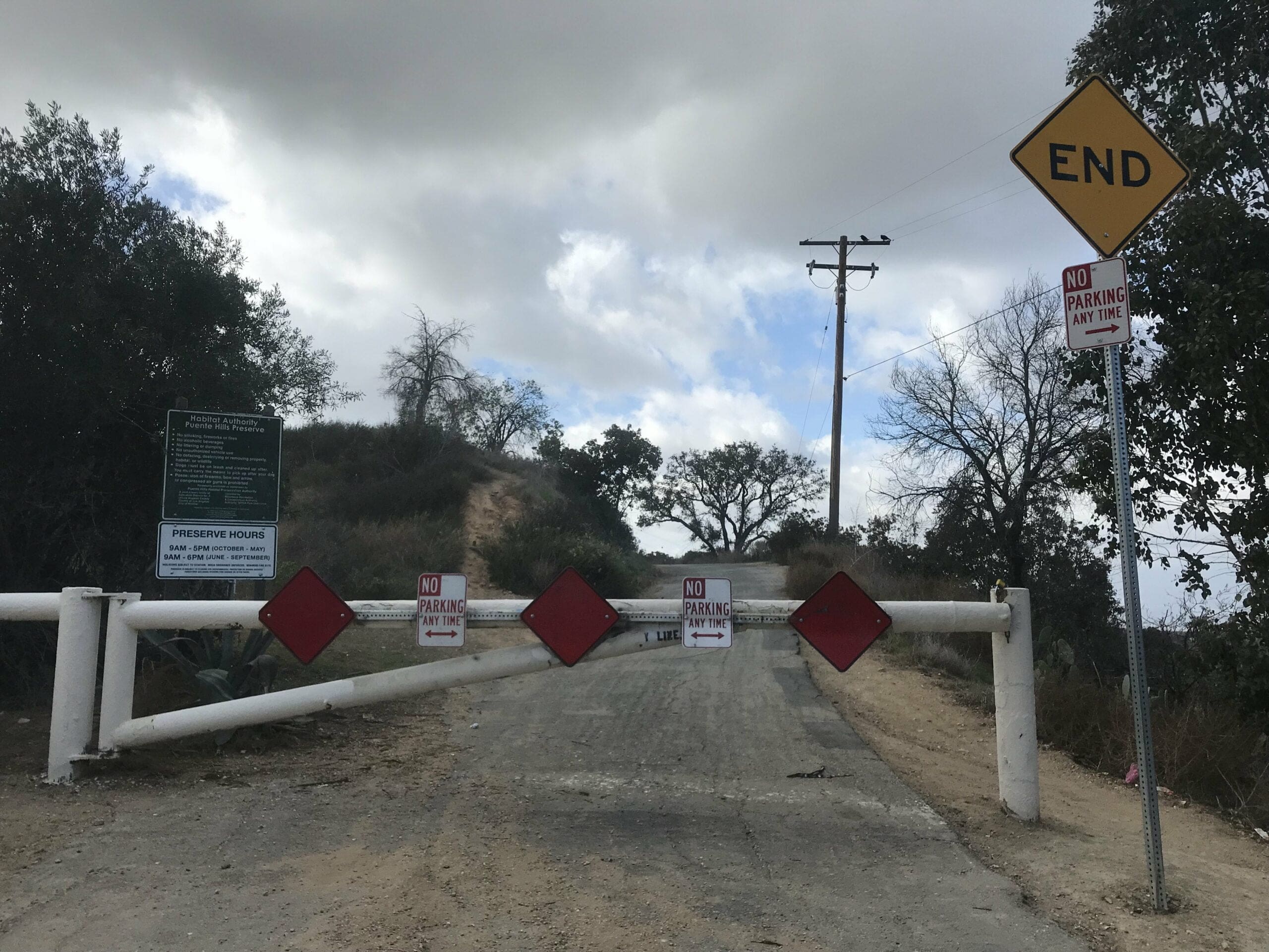
Parking is by permit only at the entrance of the park.
Directions
Address: 13689 Decliff Dr, Whittier, CA 90601
Map to Turnbull Canyon trail:
Rules
Dogs are allowed but MUST be on leash on these trails.
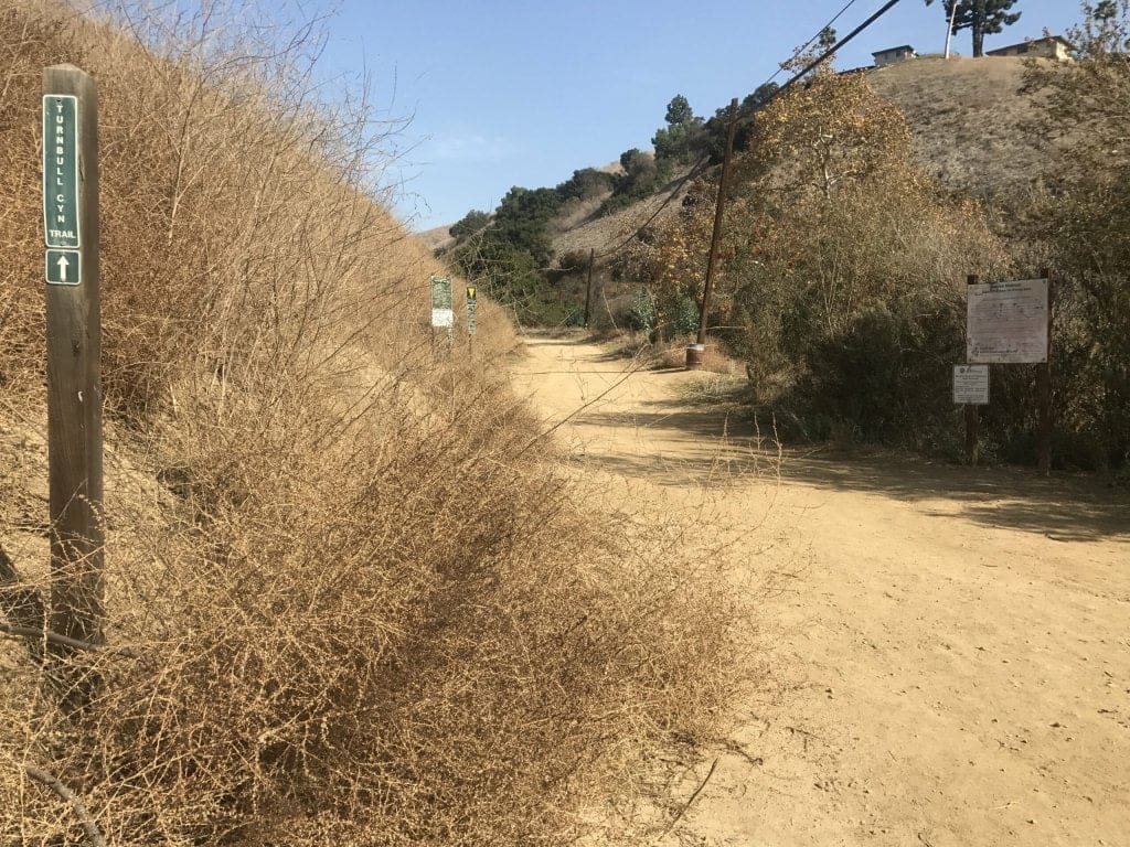
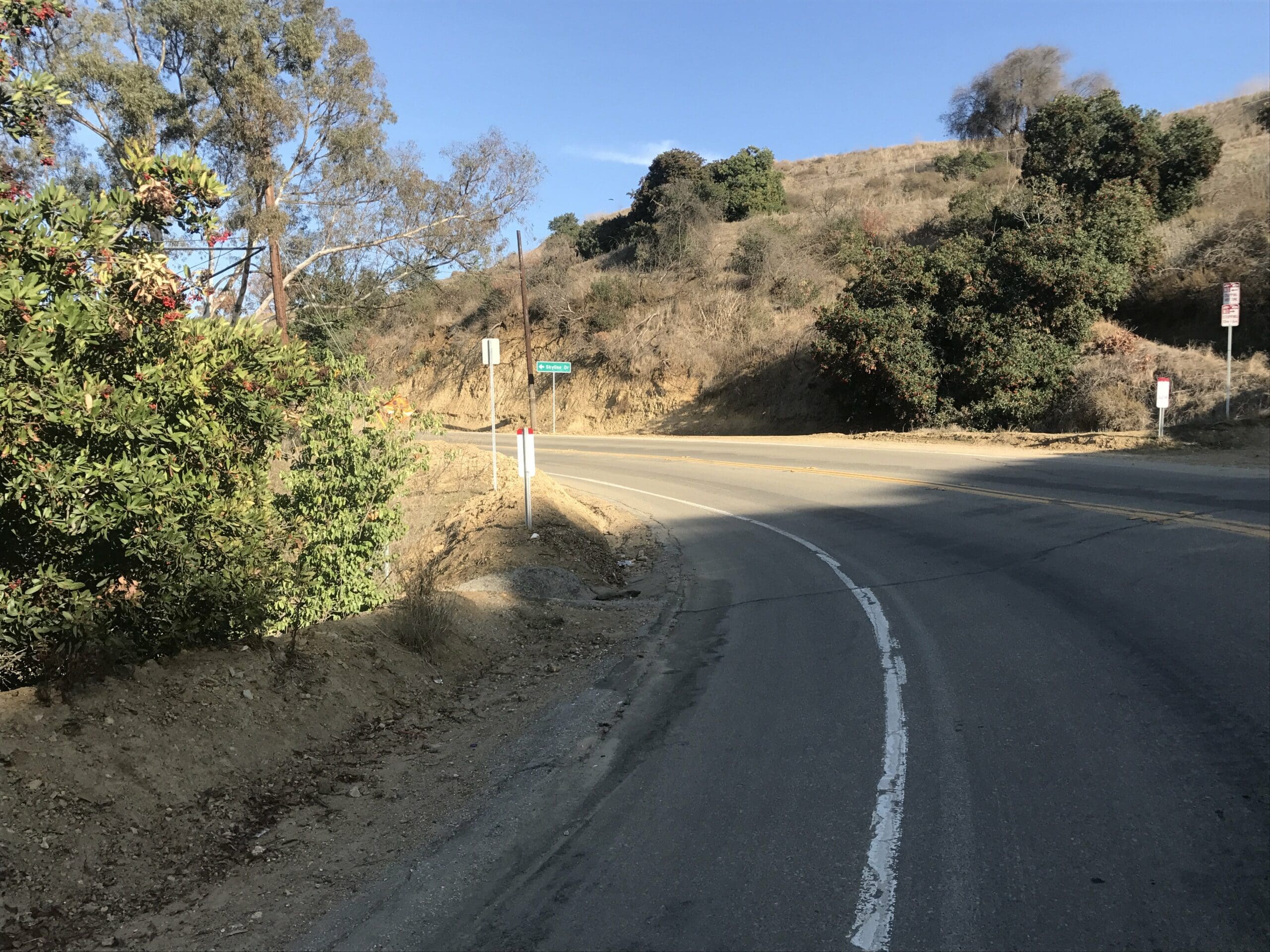
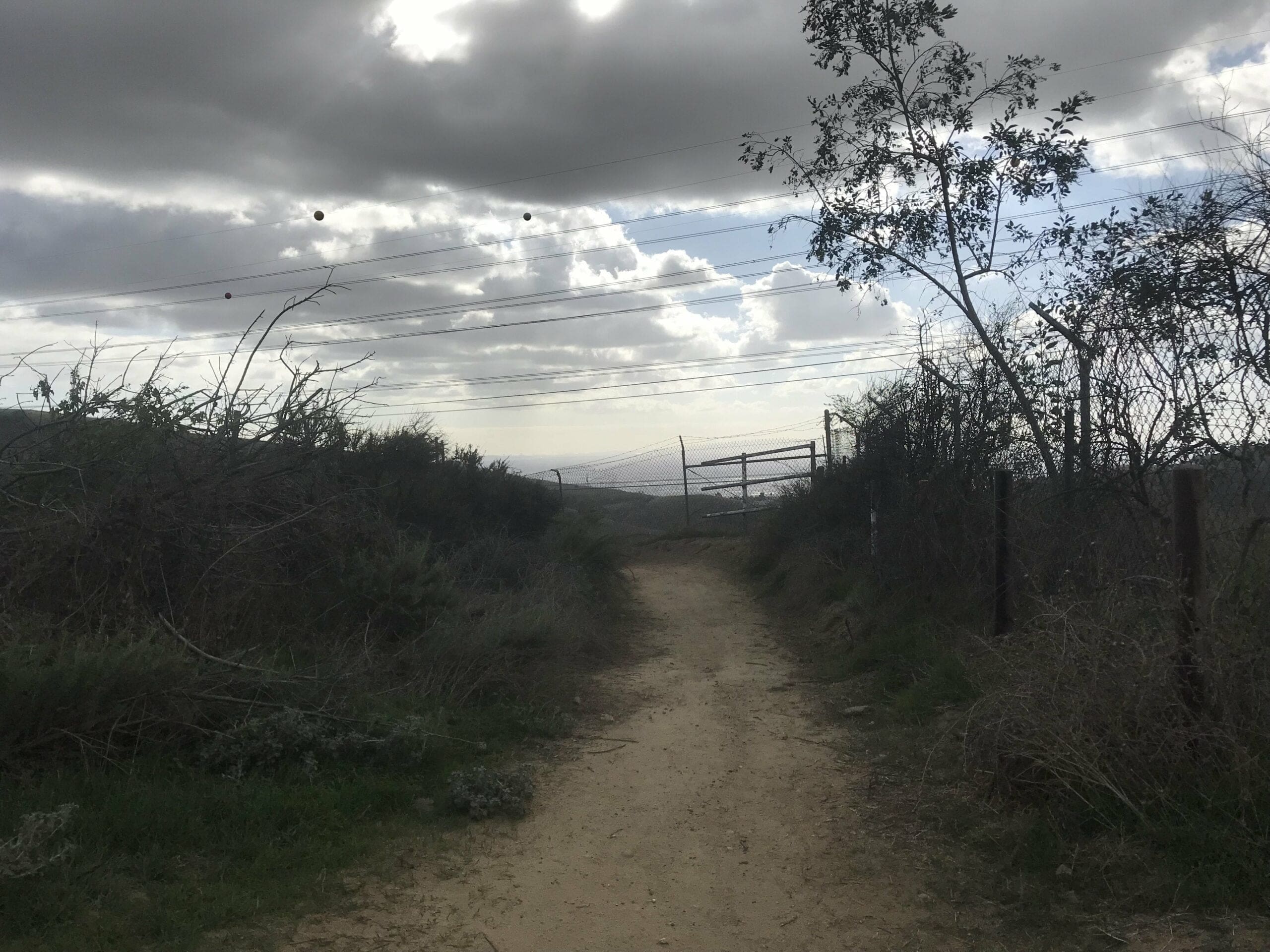
Hike Turnbull Canyon
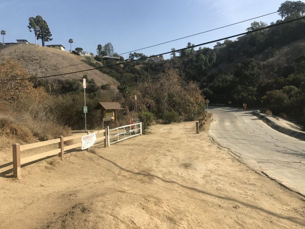
Someone forgot to include a parking lot for us hikers, which means you’ll have to find street parking and walk a quarter of a mile (or more) to the entrance of the hike.
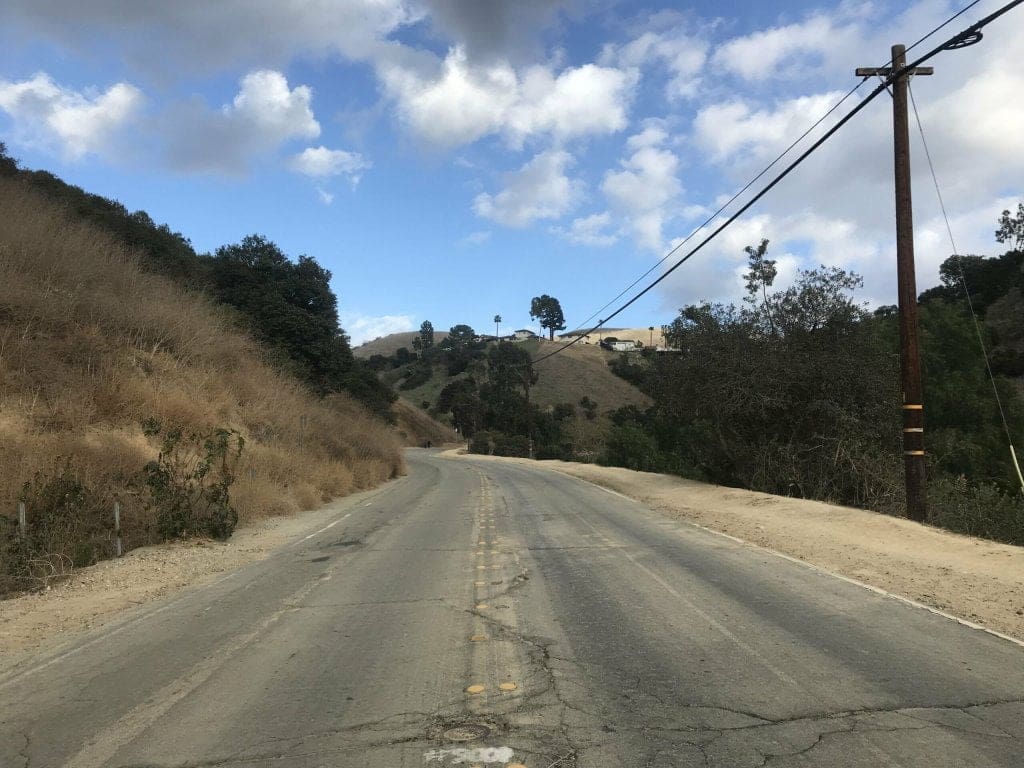
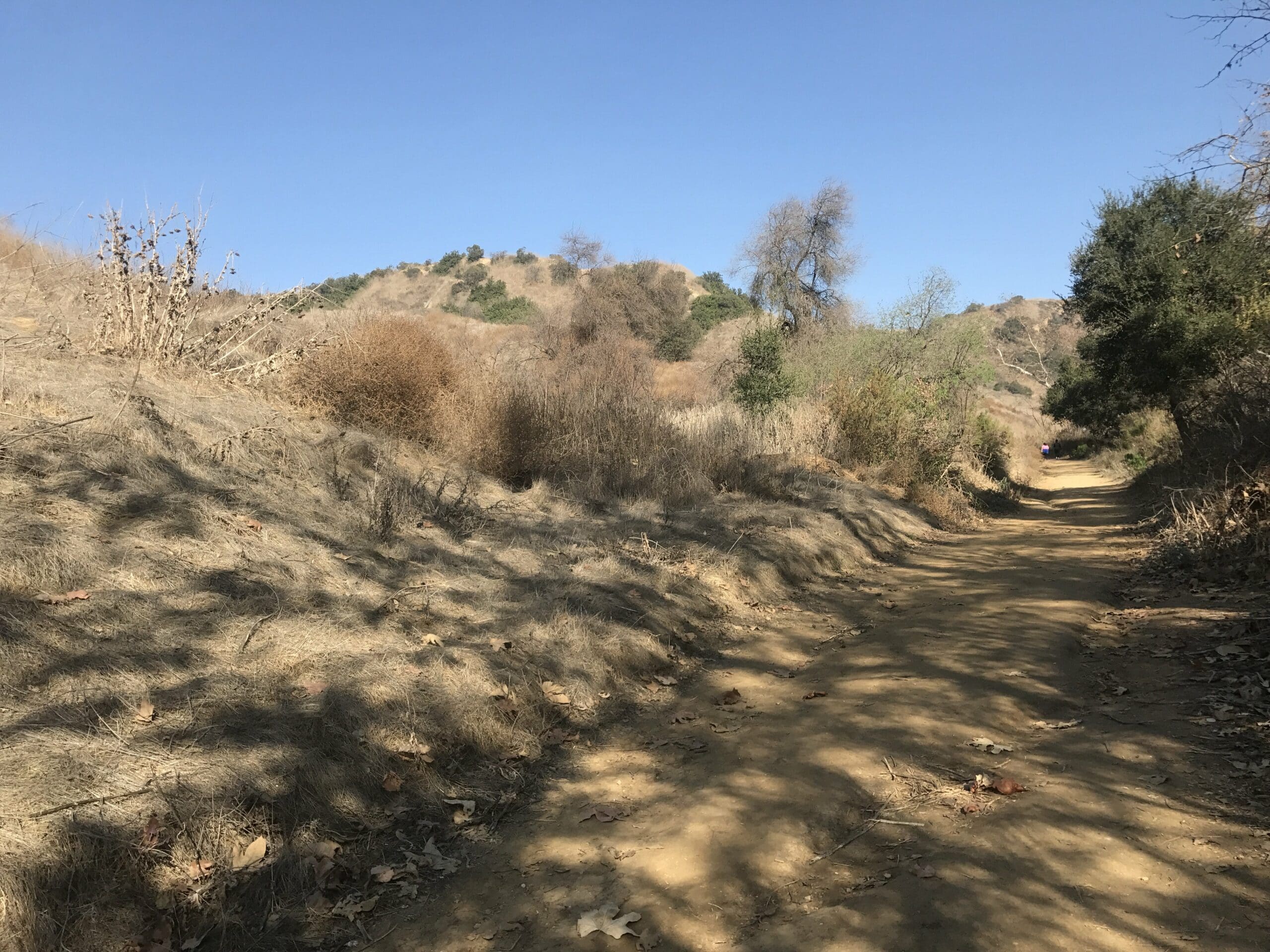
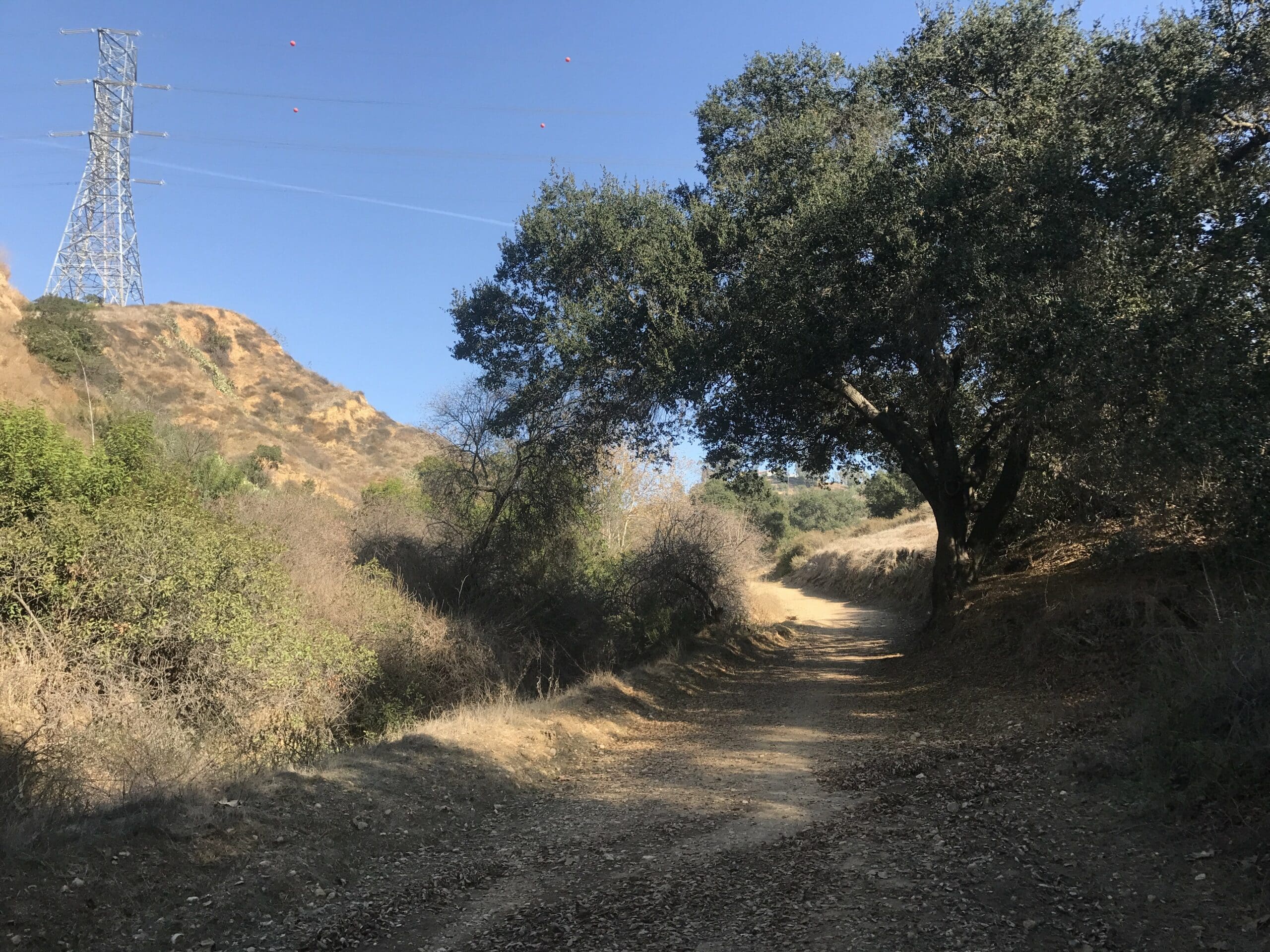
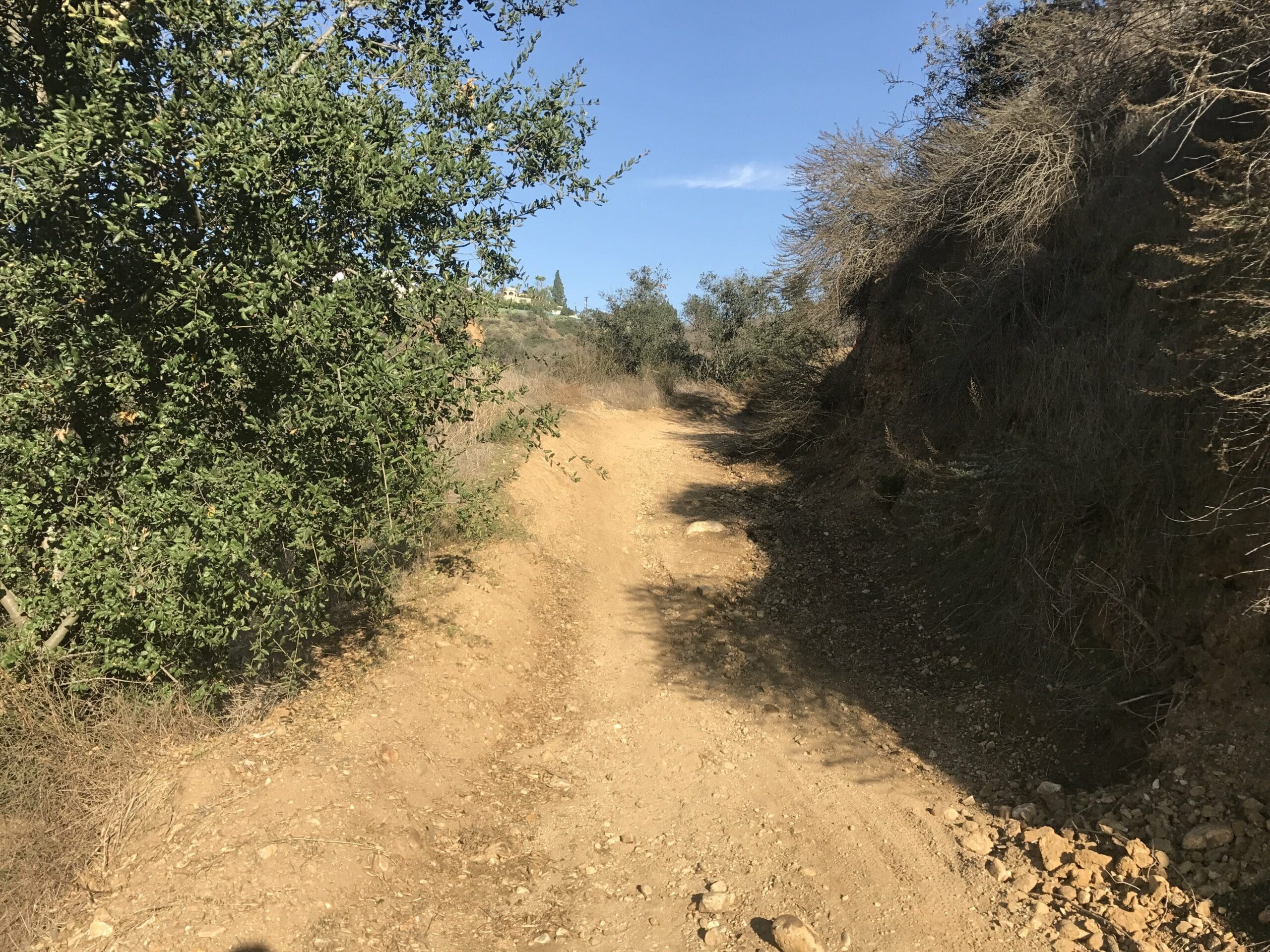
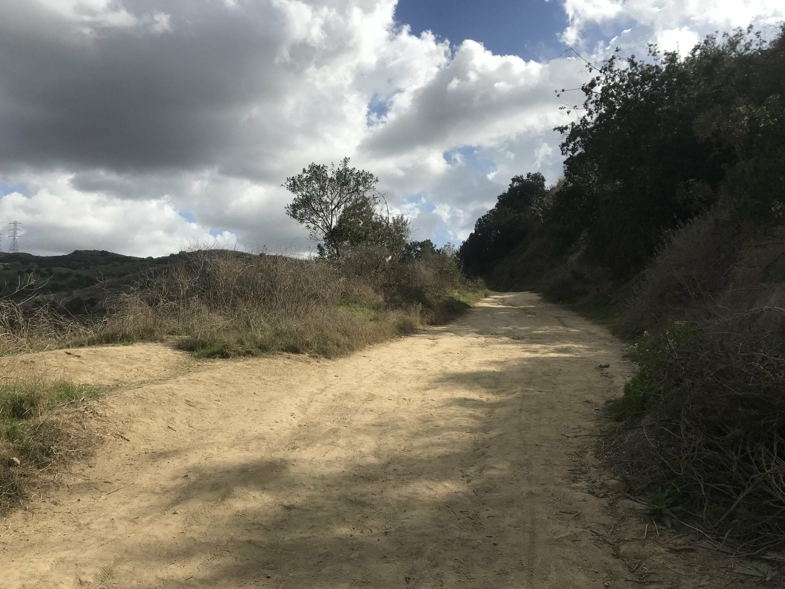
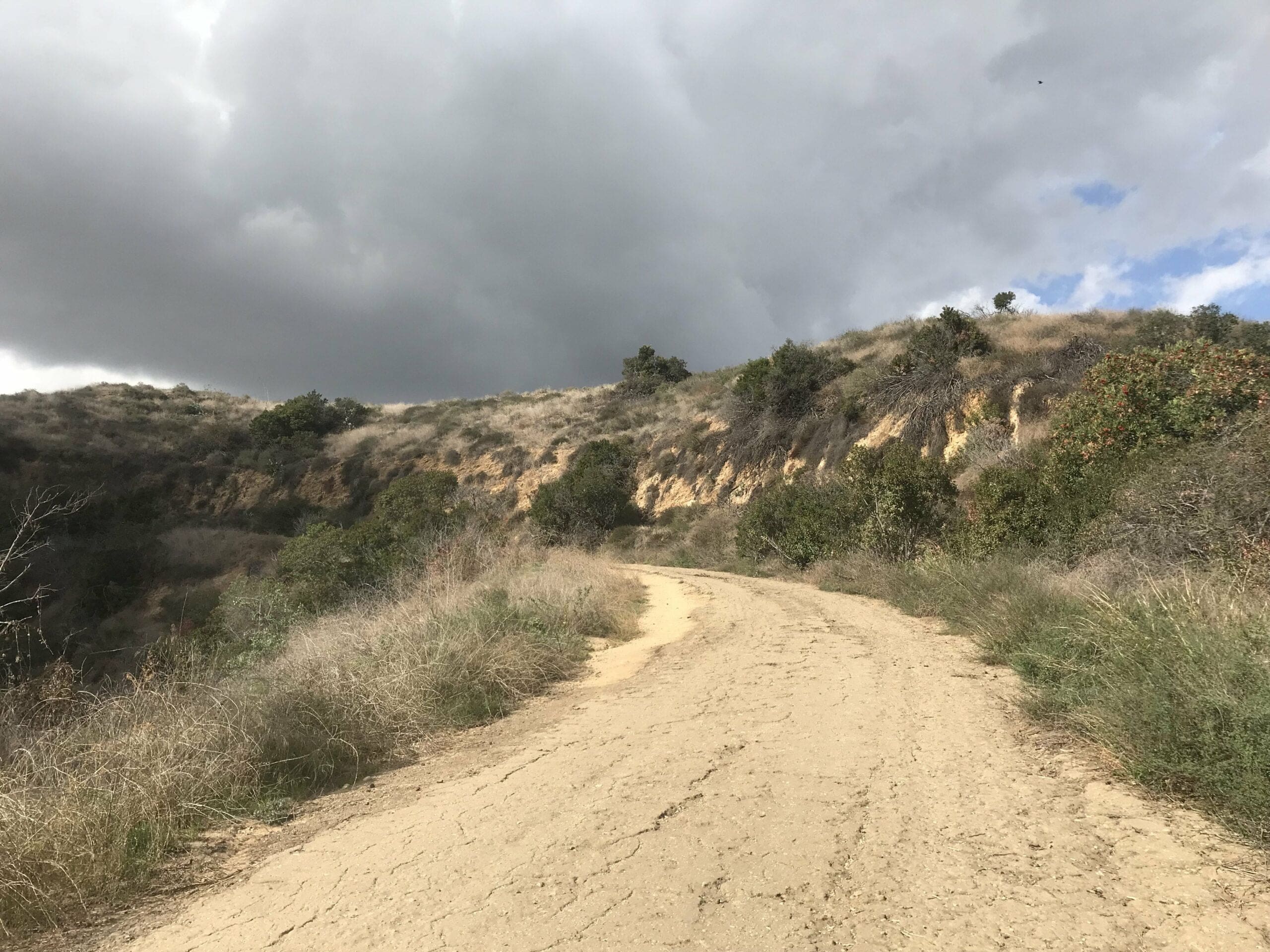
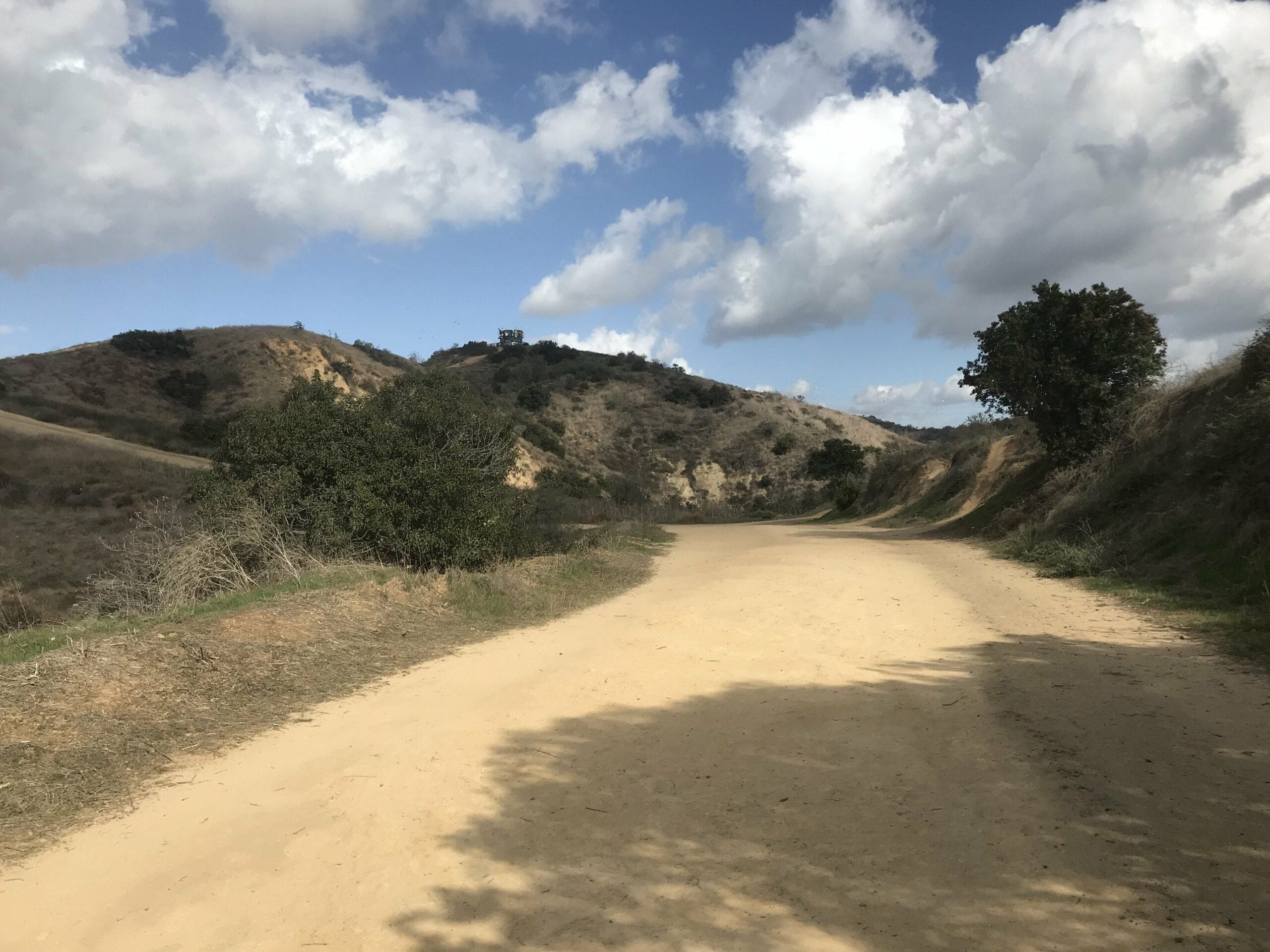
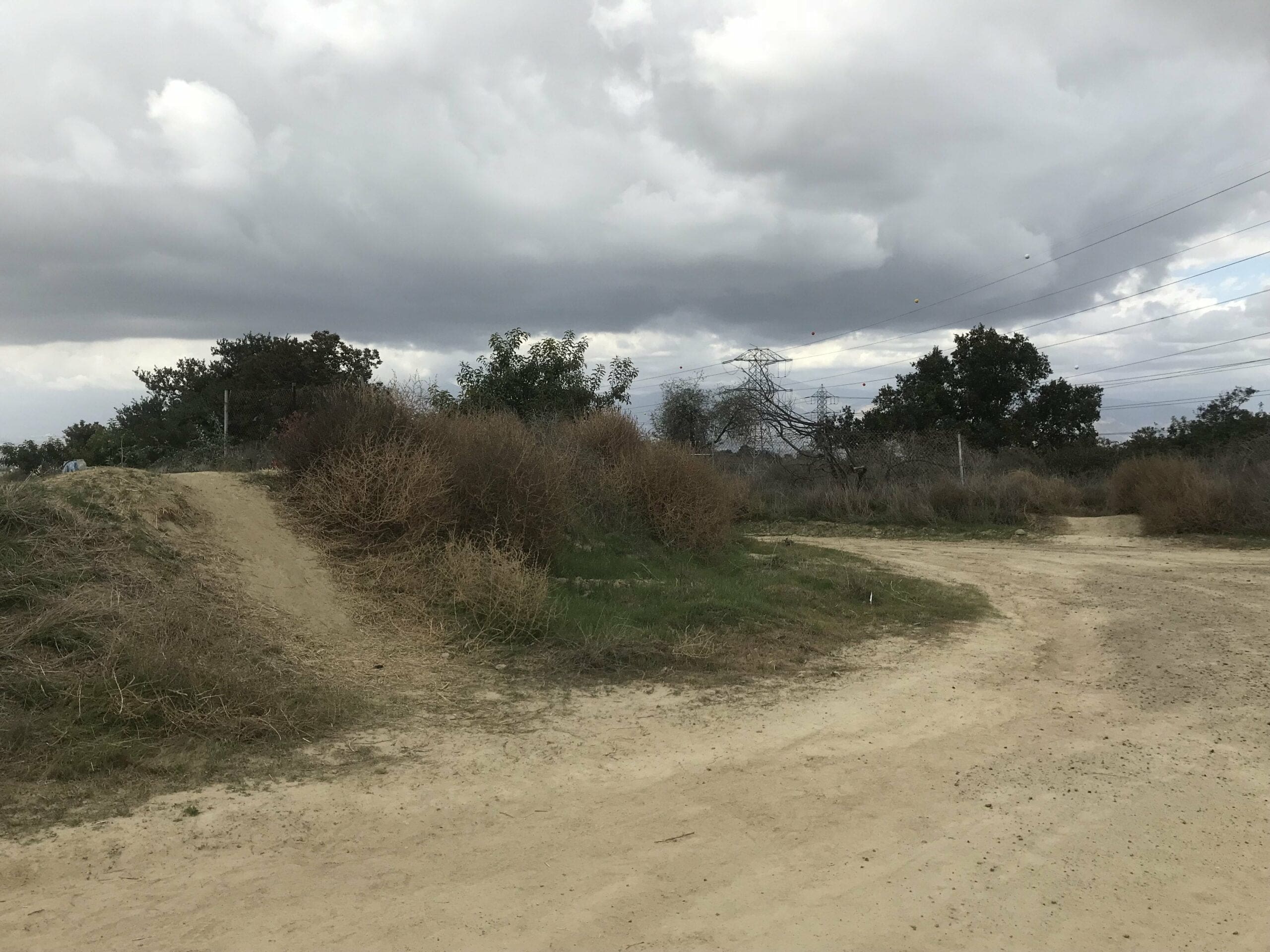
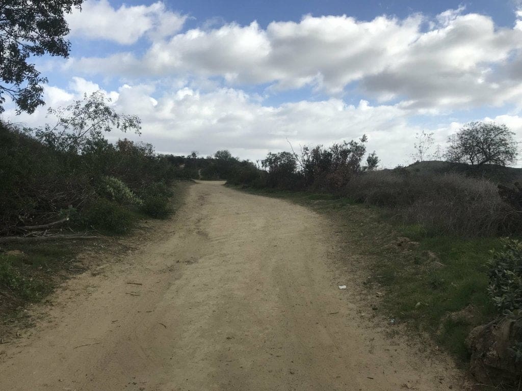
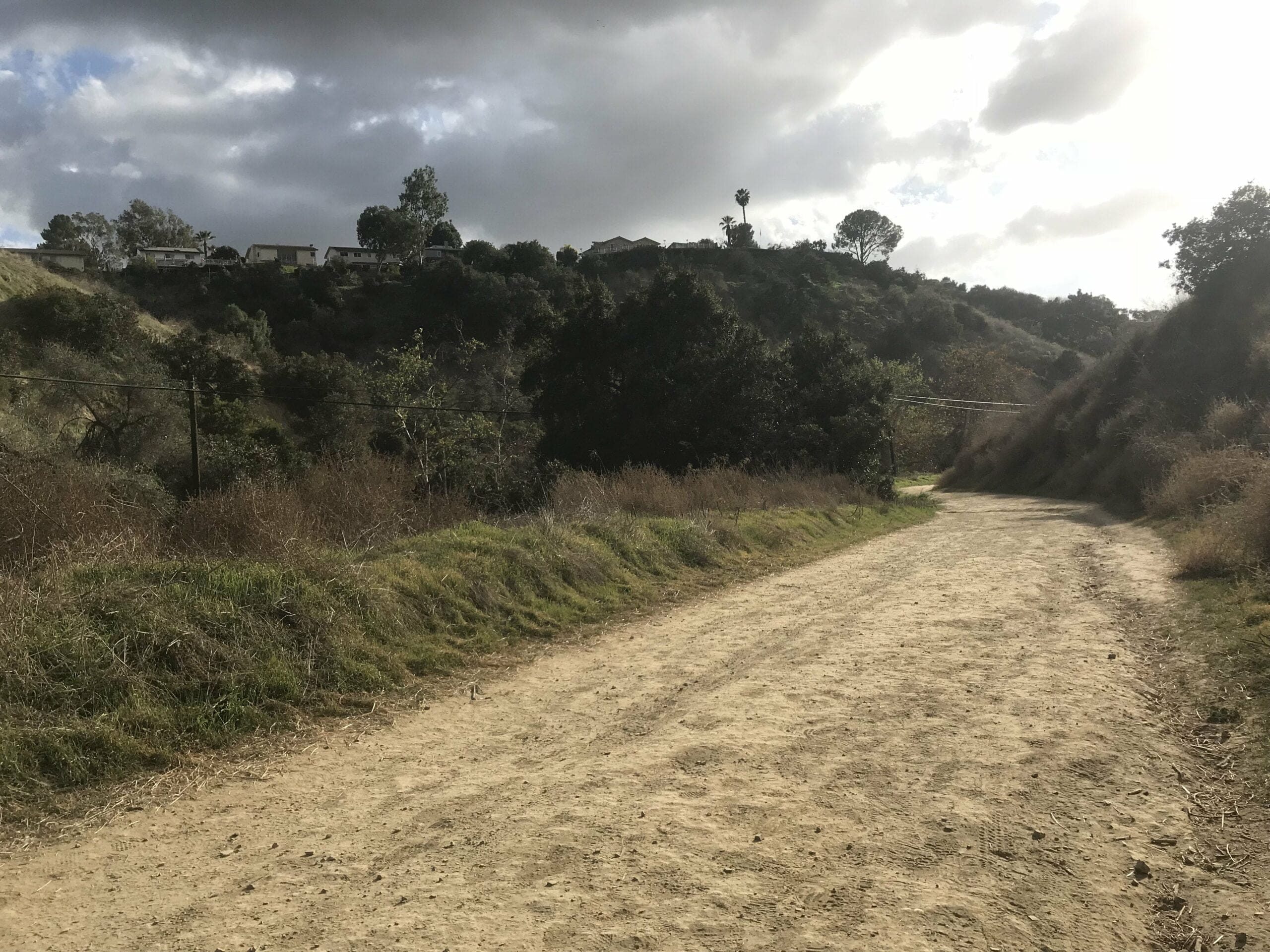
The trail starts off rather tame through the open fields of Whittier, with rich-looking houses nestled above of the hills.
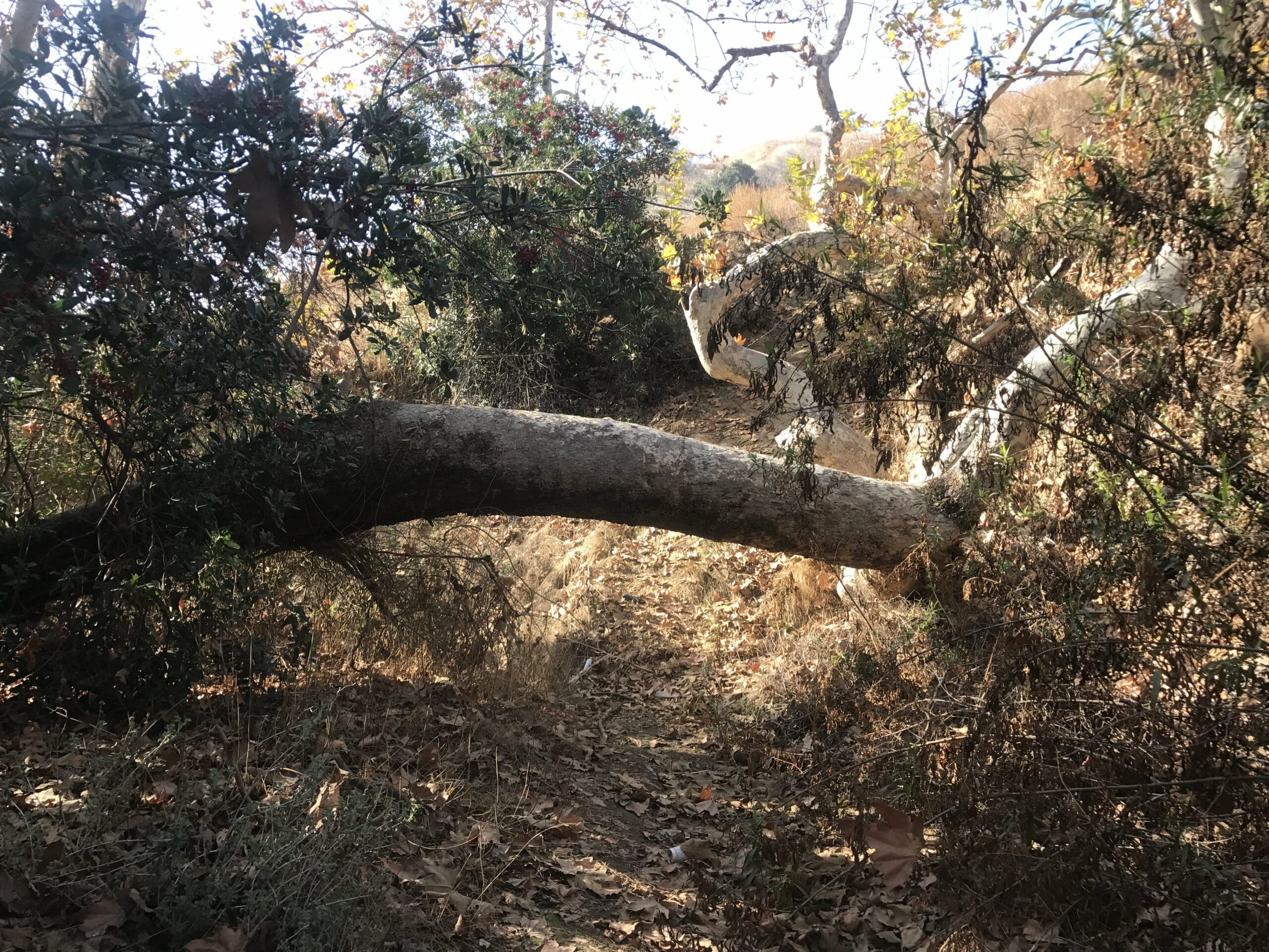
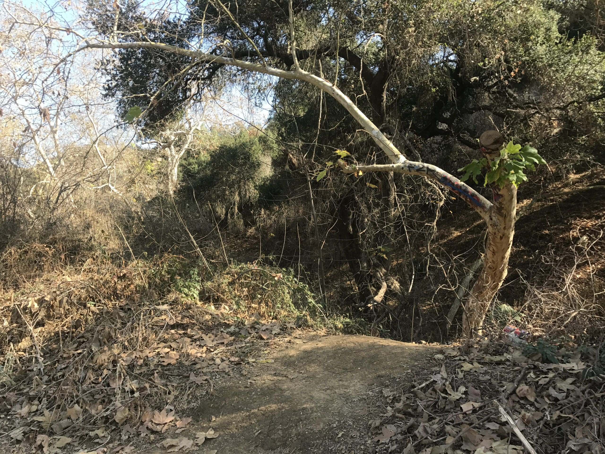
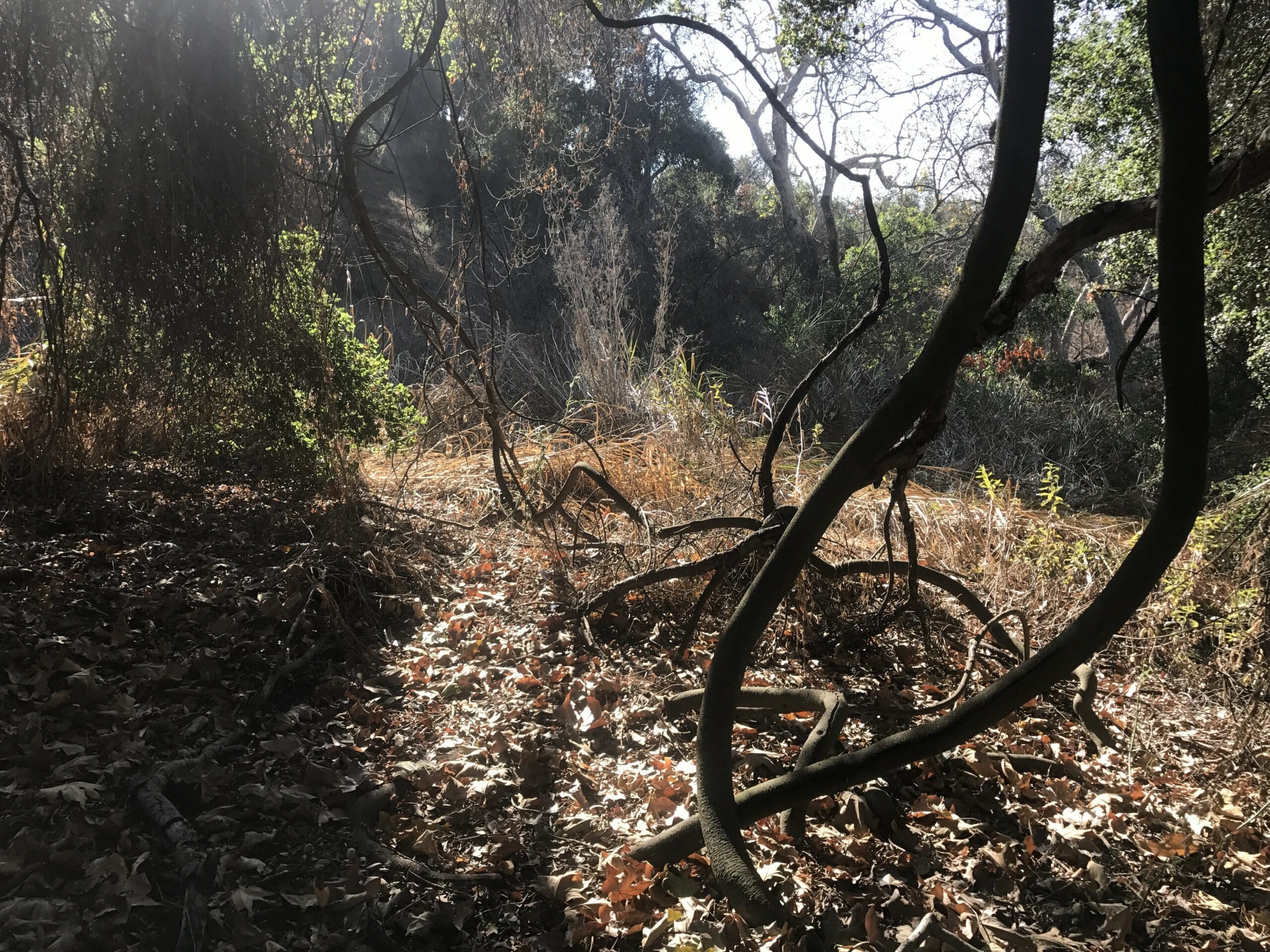
About a third of a mile in, I notice a hidden off trail to my right. It’s pretty steep to climb down, so be prepared to hang on to nearby twigs for dear life.
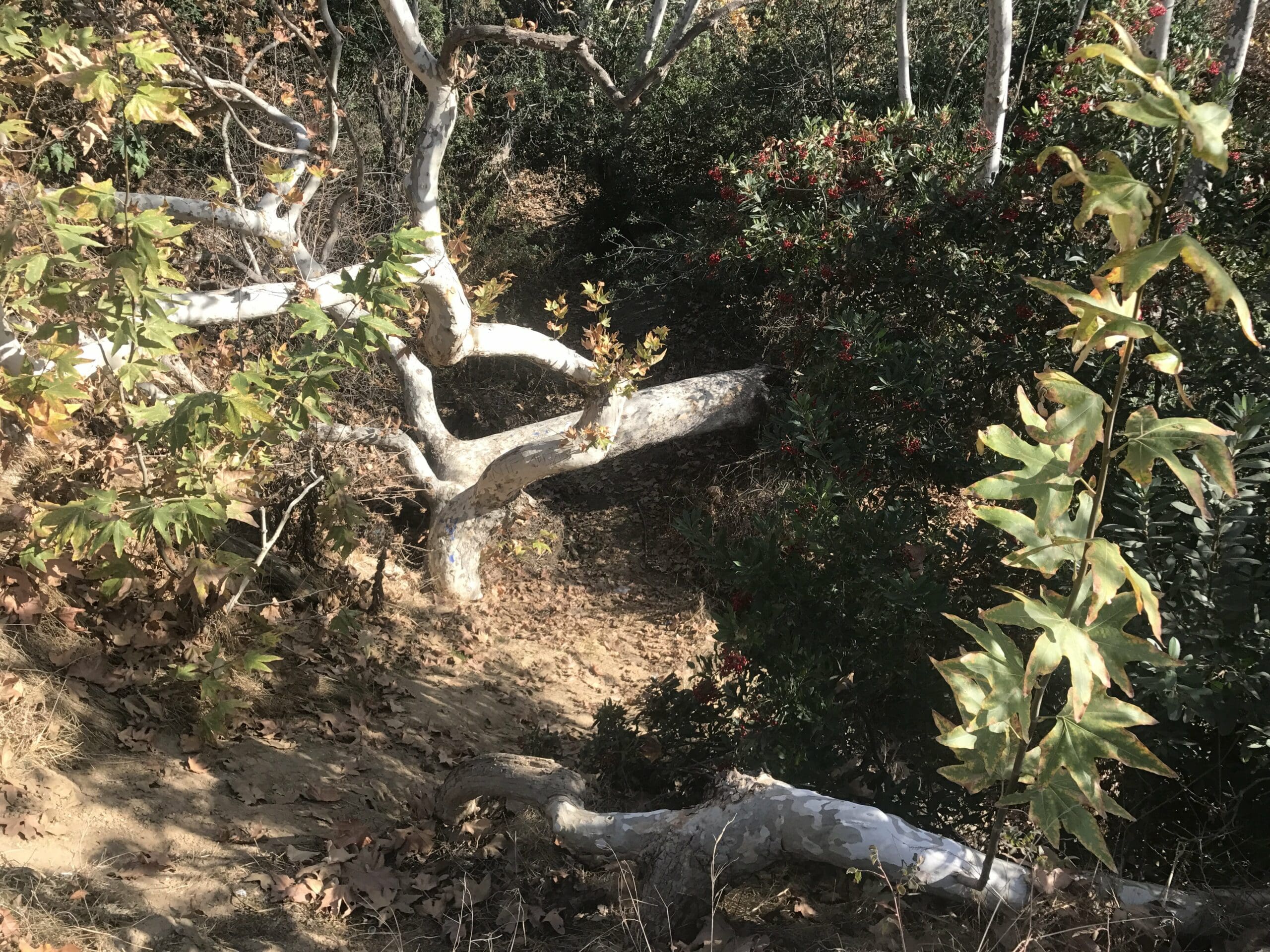
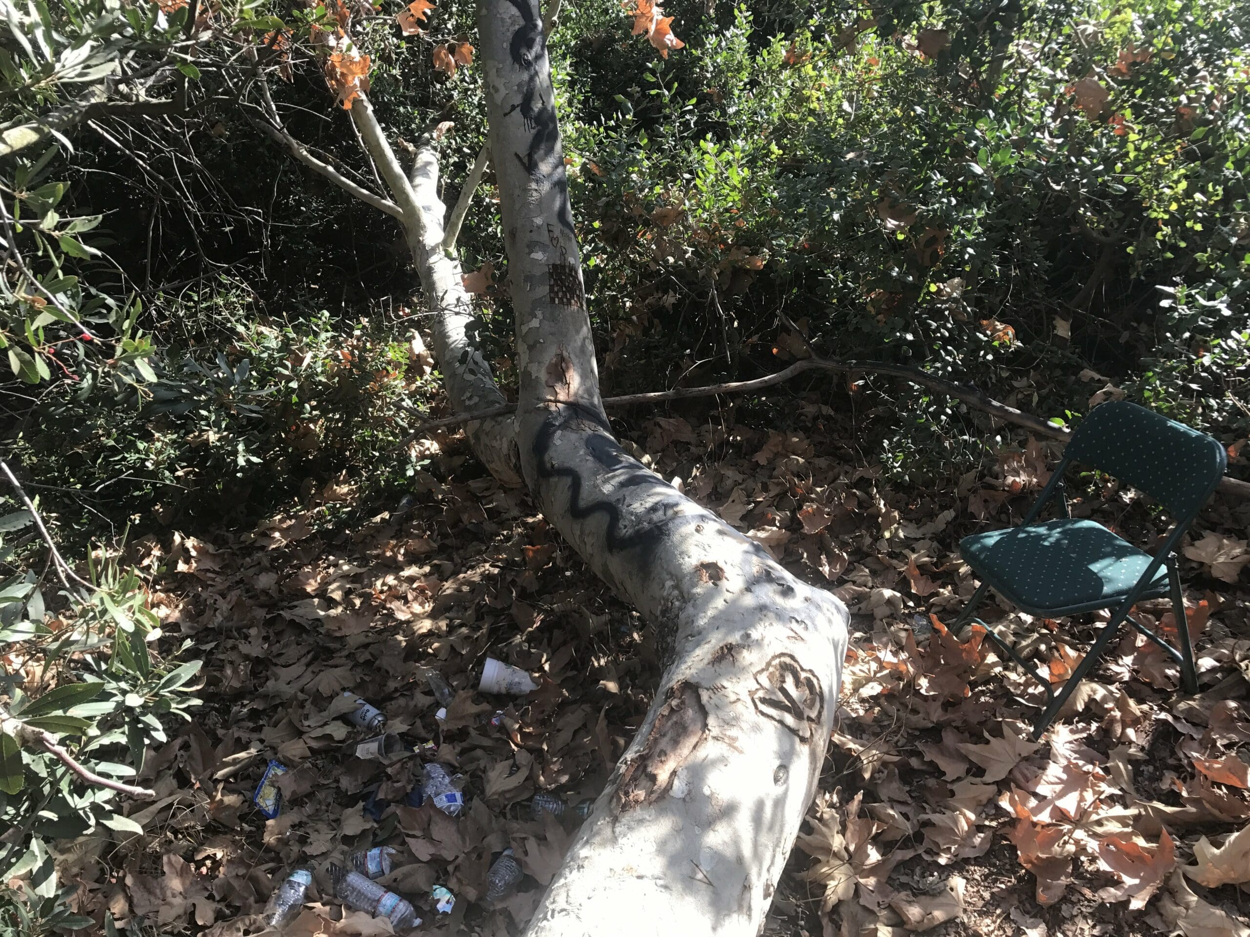
The area below was very muddy with plenty of logs that were engraved with initials and graffiti.
I soon stumble upon a cute little area filled with empty water bottles and a lonely chair. Thank goodness, I could use a rest from all that hiking so far.
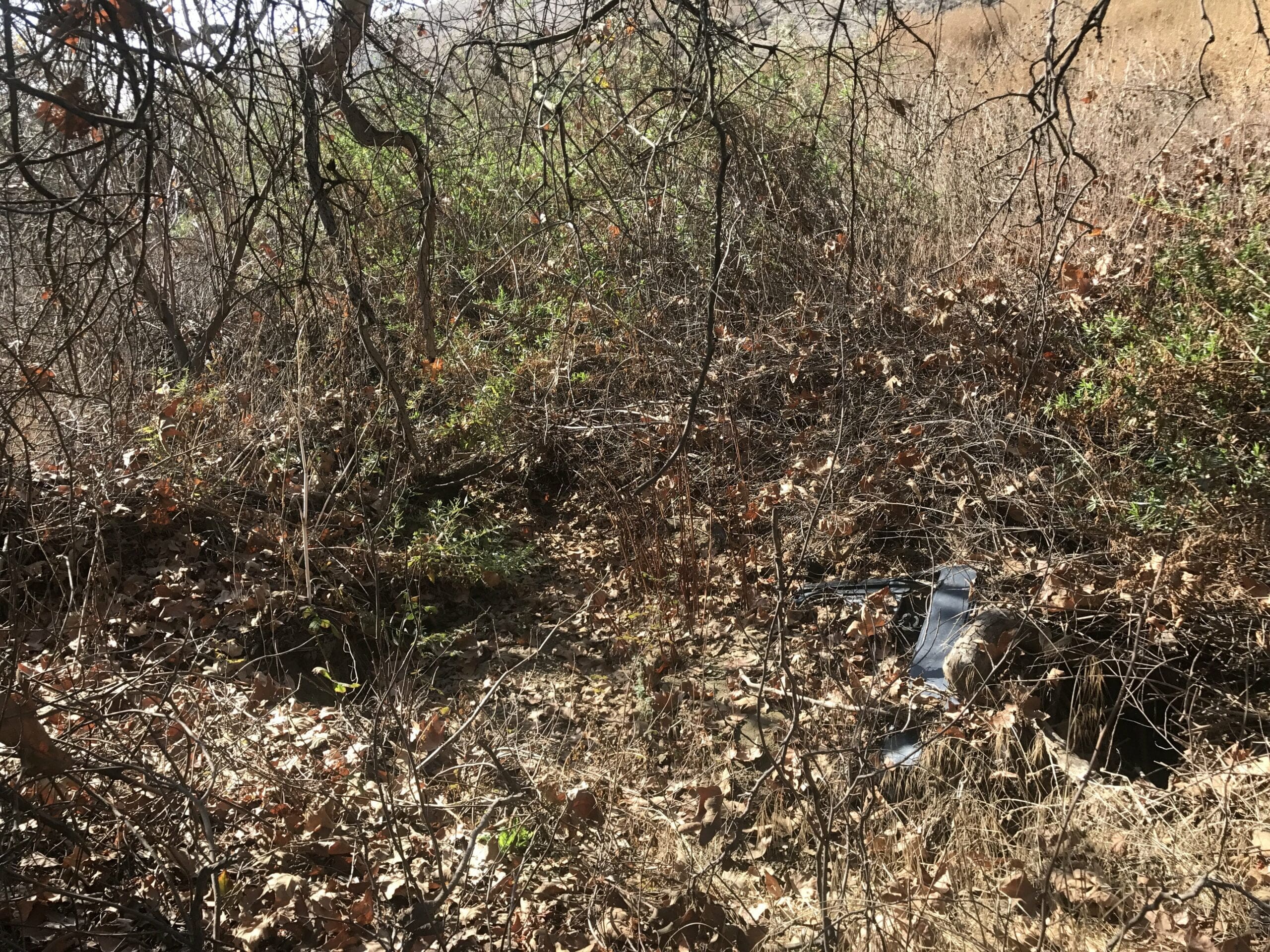
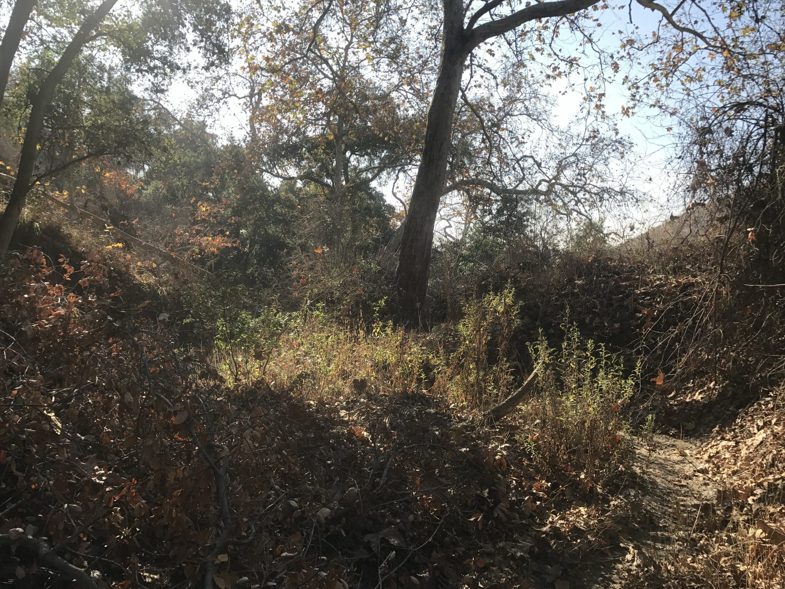
I continue to explore this area, having to duck and even crawl at times due to the overgrowth of twigs and branches in the area.
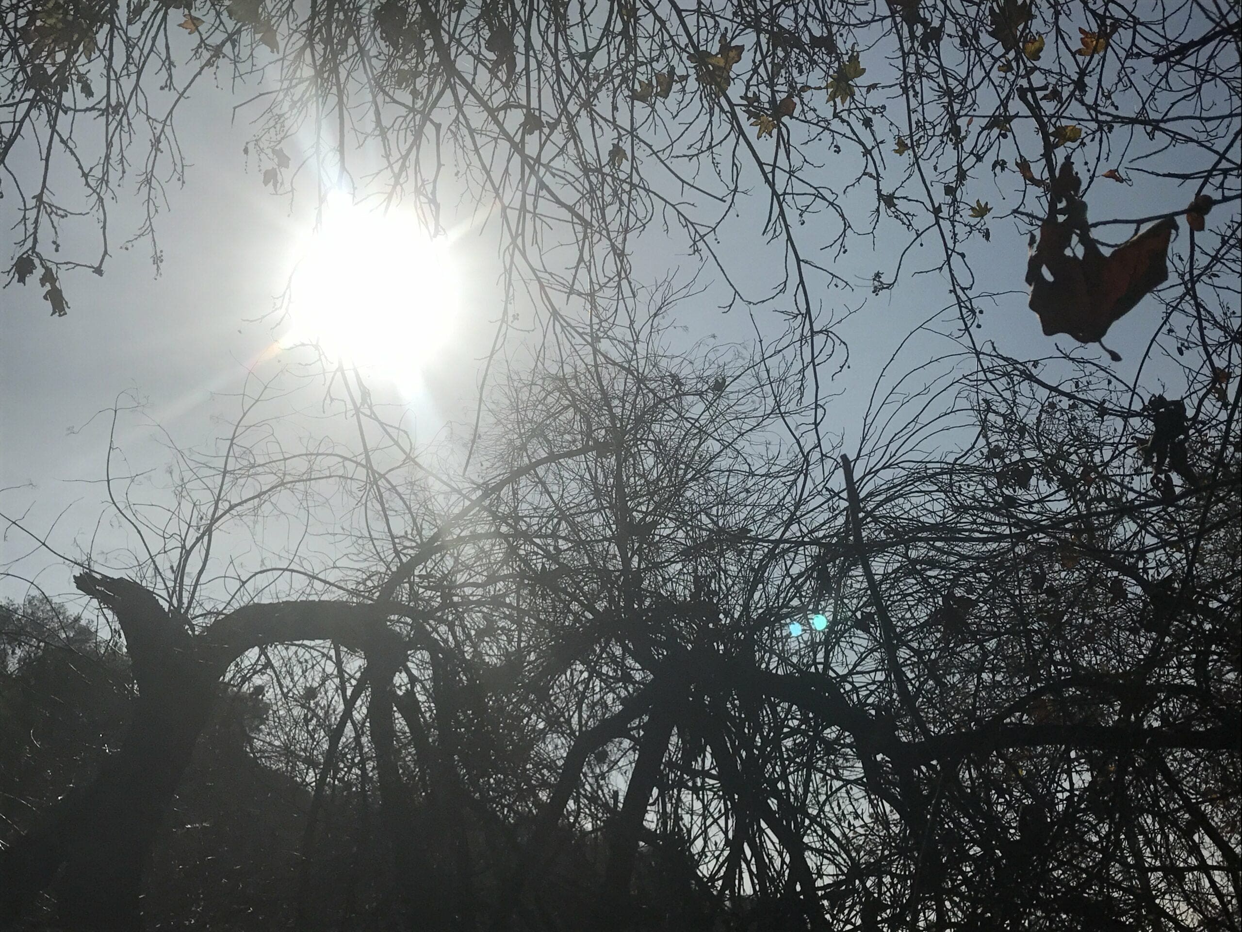
At the very end of this “hidden off-trail” was a large hunk of scrap metal, which resembled a car part of some sorts.
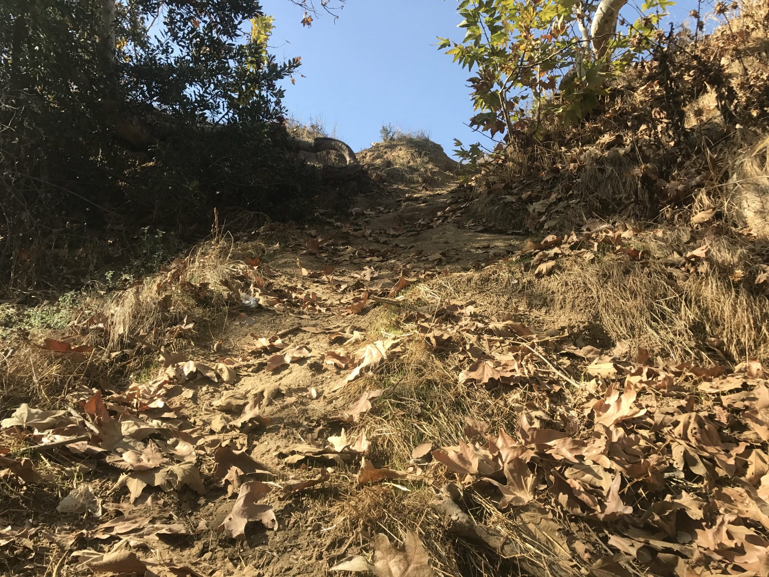
I decide I’ve spent enough time exploring this area, and make my way back up to the main turnbull canyon trail head.
Watch your step climbing back up!
About a half of a mile in, I capture what appears to be a moment of timeless love (or so it seems…)
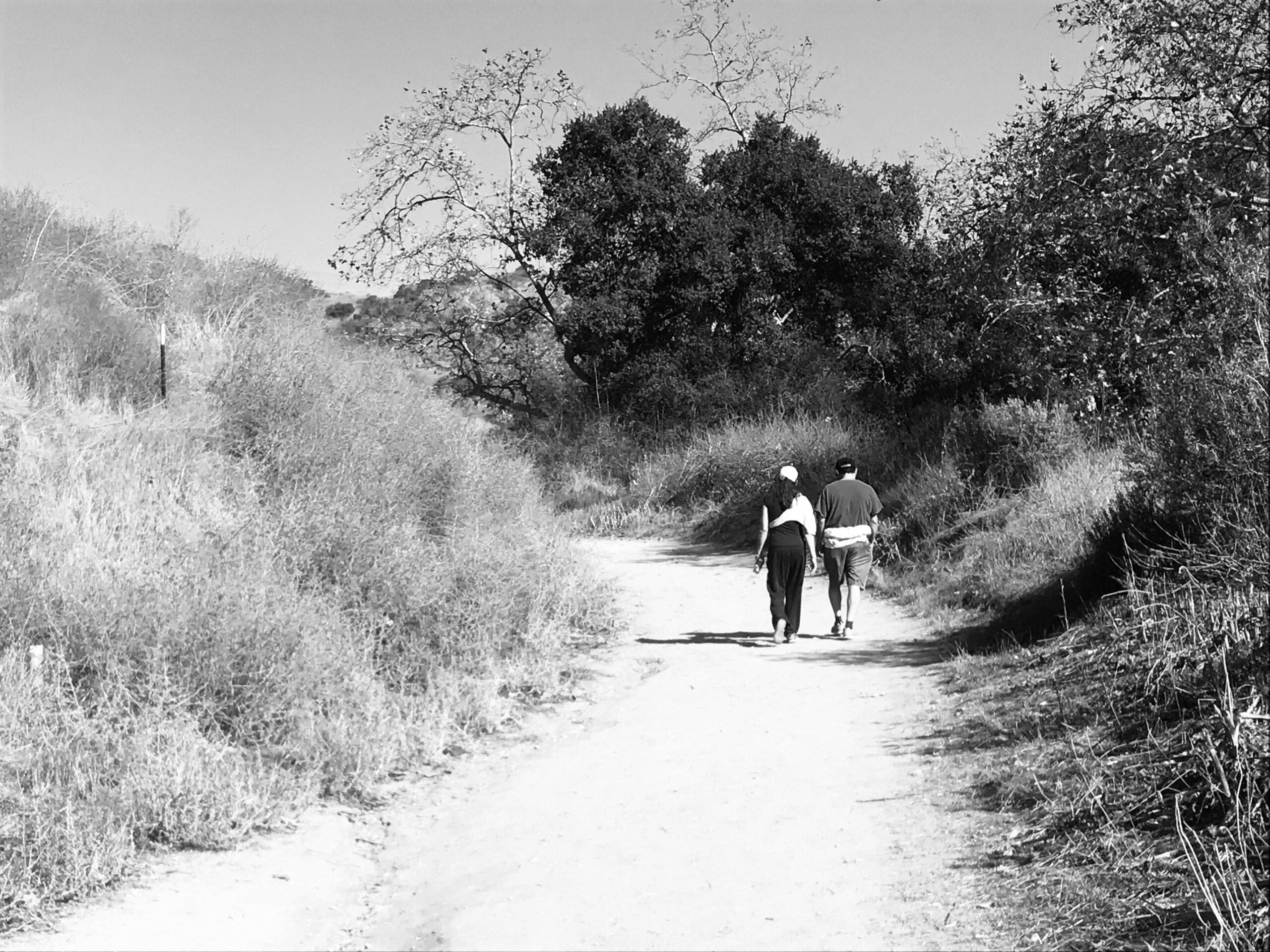
So far, the trail seems to be very quiet, peaceful, and slightly empty of human beings (hey, I’m not complaining).
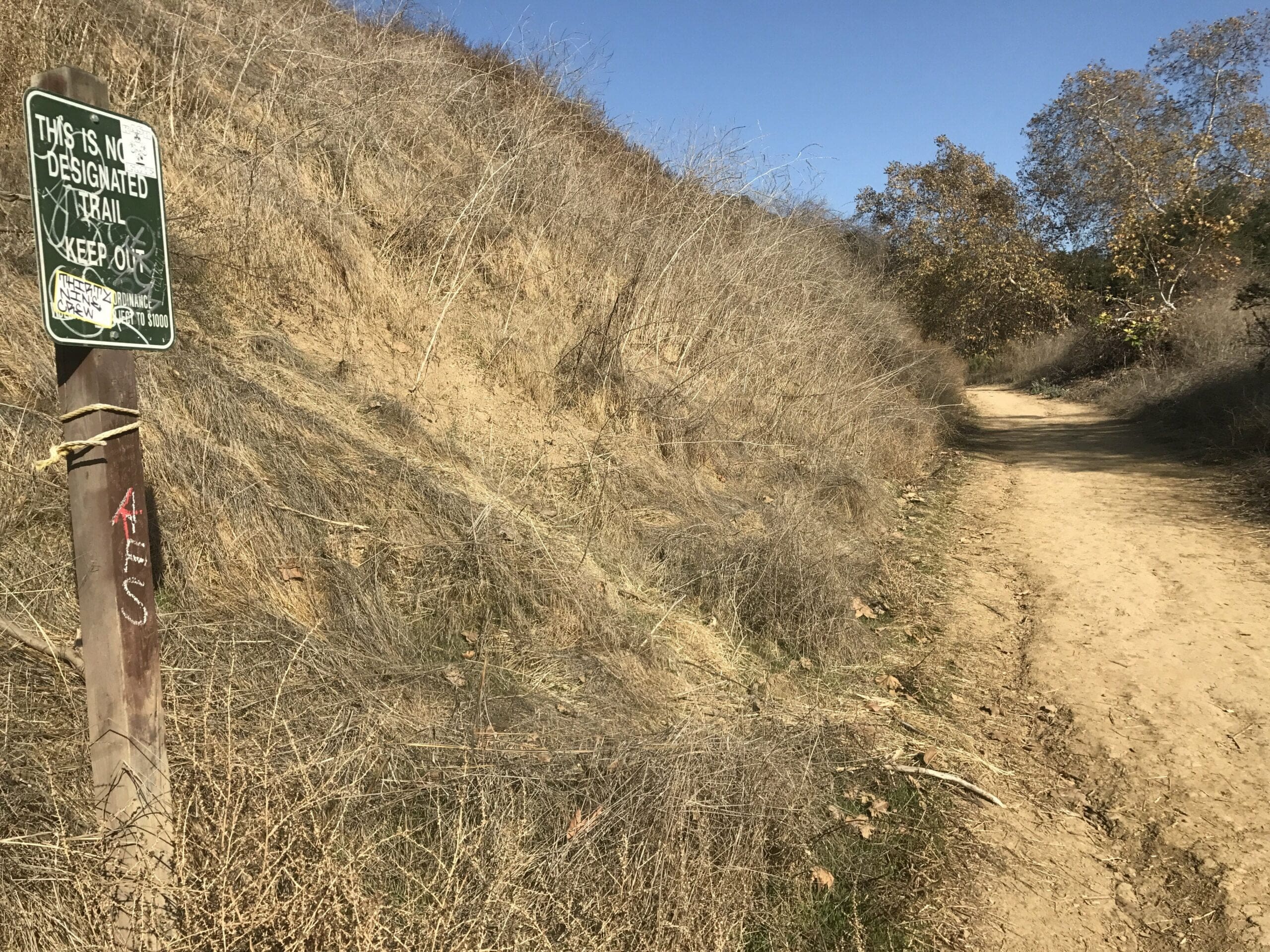
I soon notice (you guessed it) another off-trail to my right, just waiting to be explored.
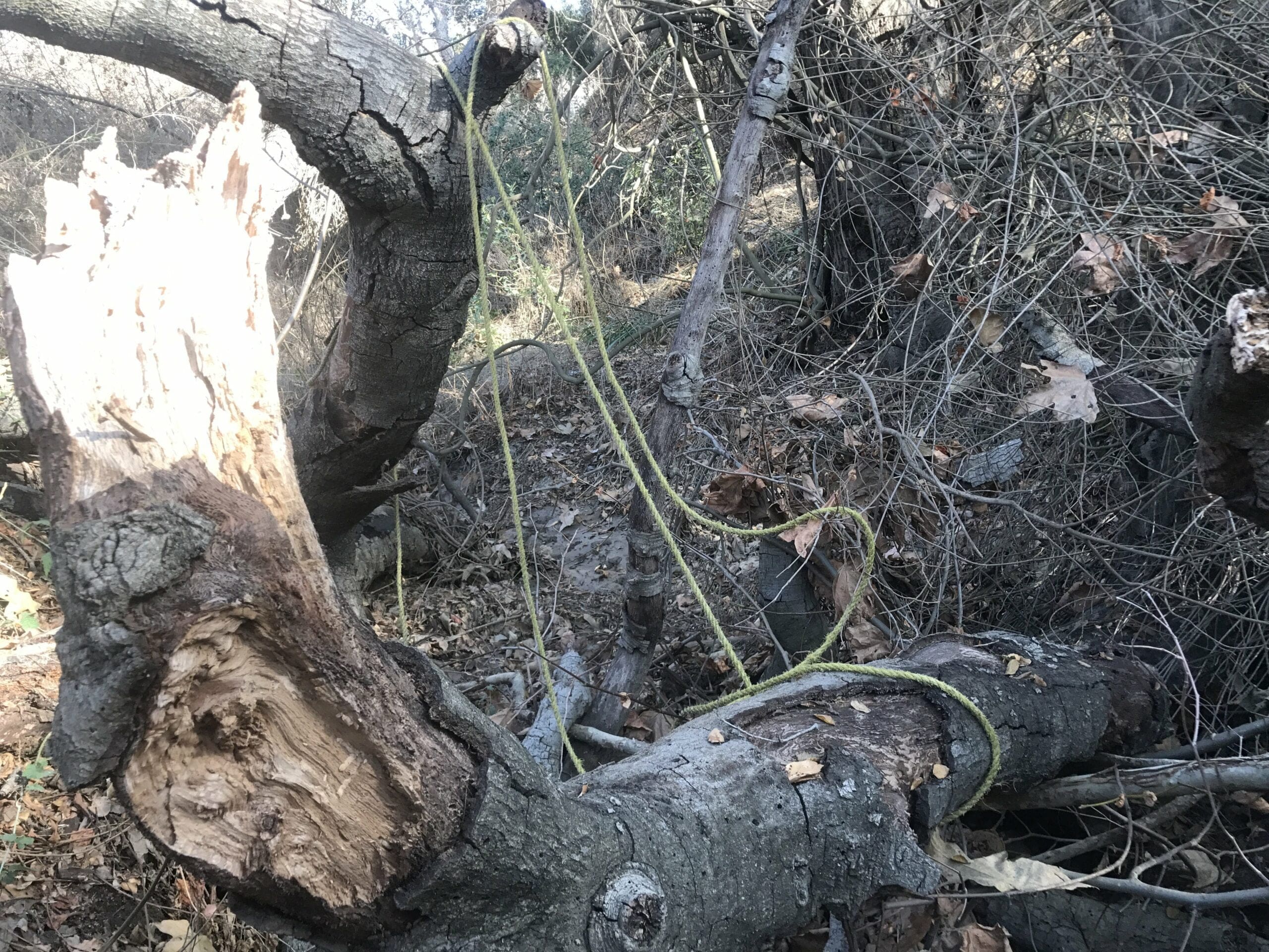
This area was a little more dense regarding the number of twigs and branches I had to duck and crawl through, but I did manage to find something slightly eerie…
Rope. Let’s just say I didn’t stick around long to ask any questions.
Back to the main trailhead we go!
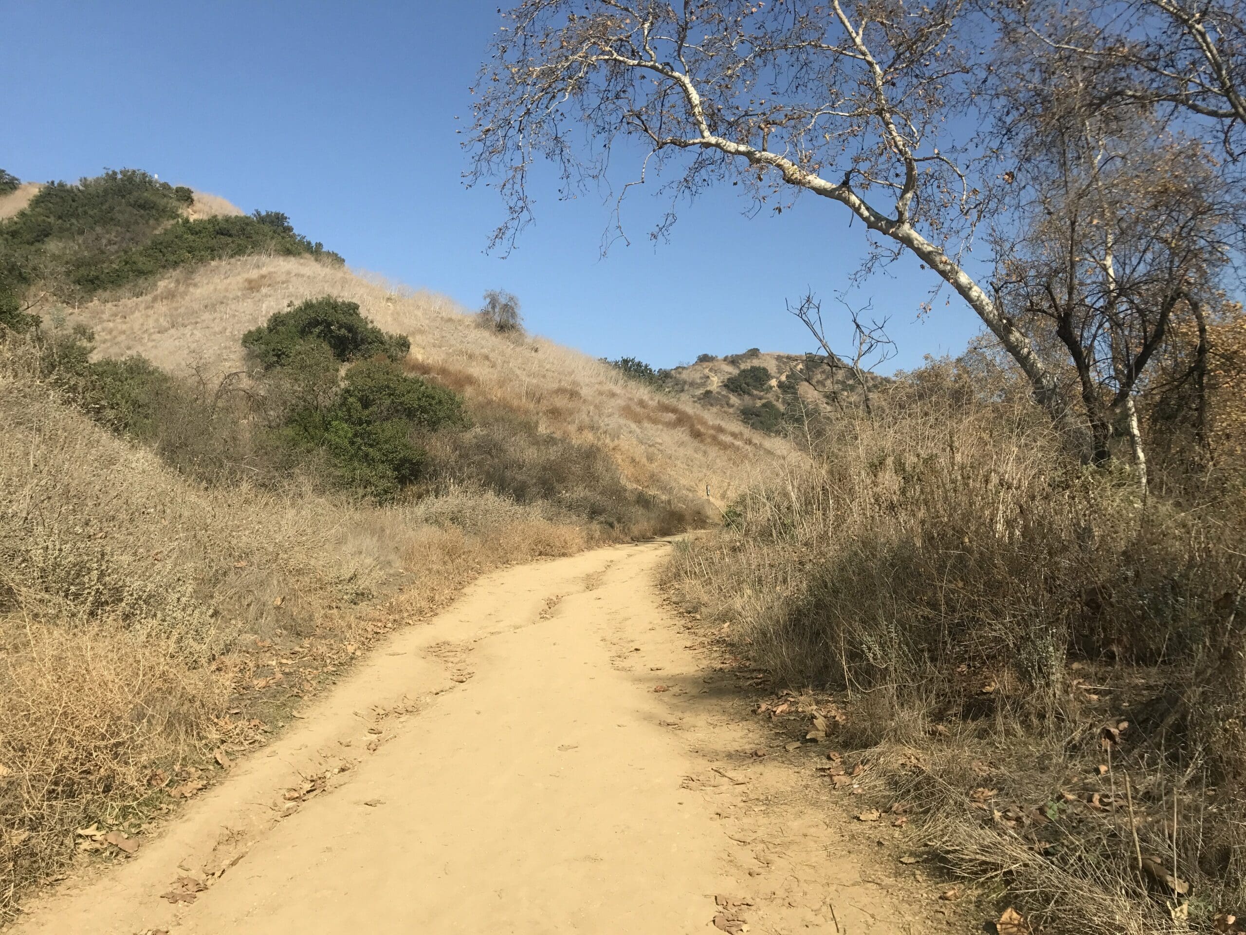
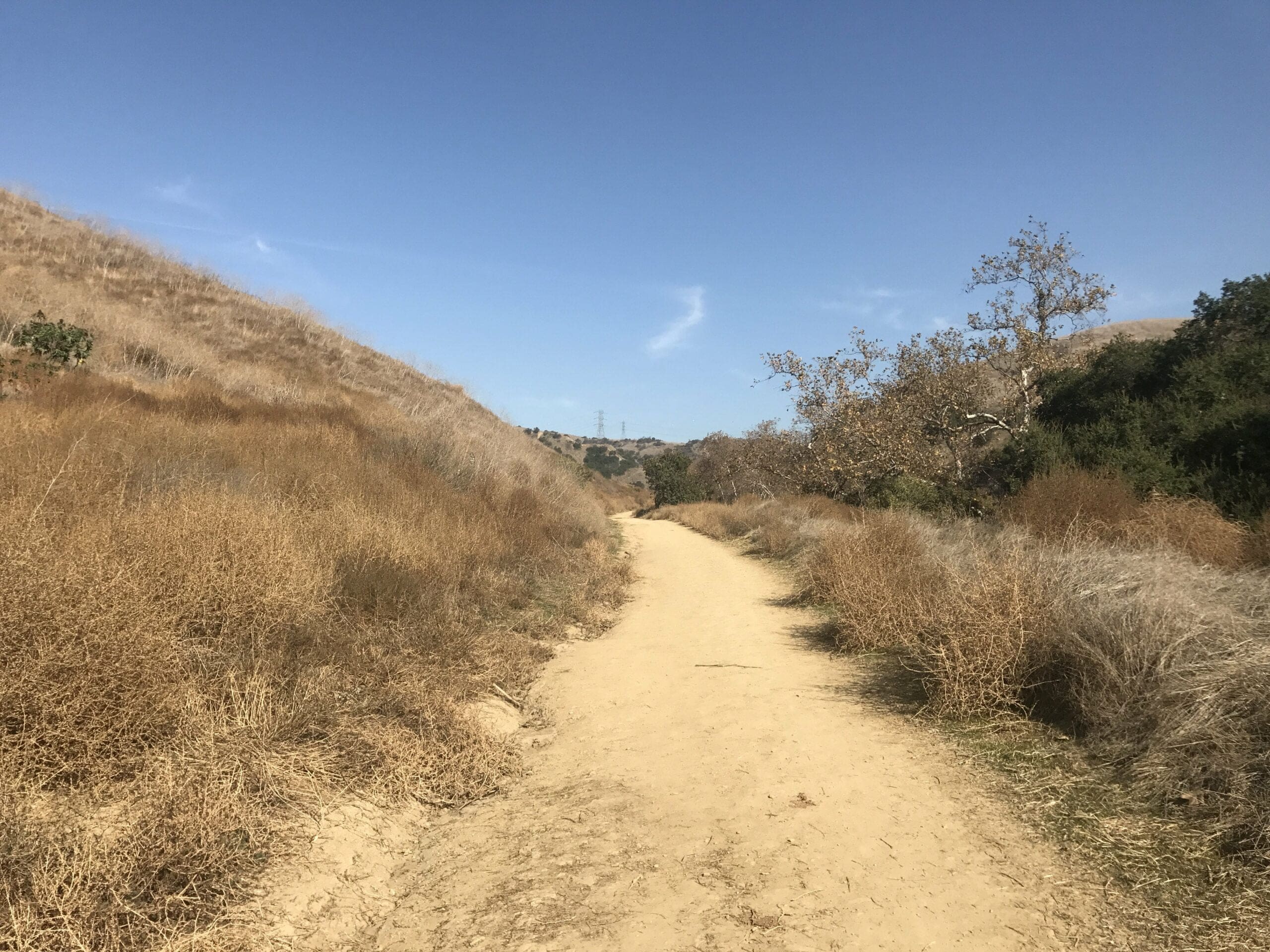
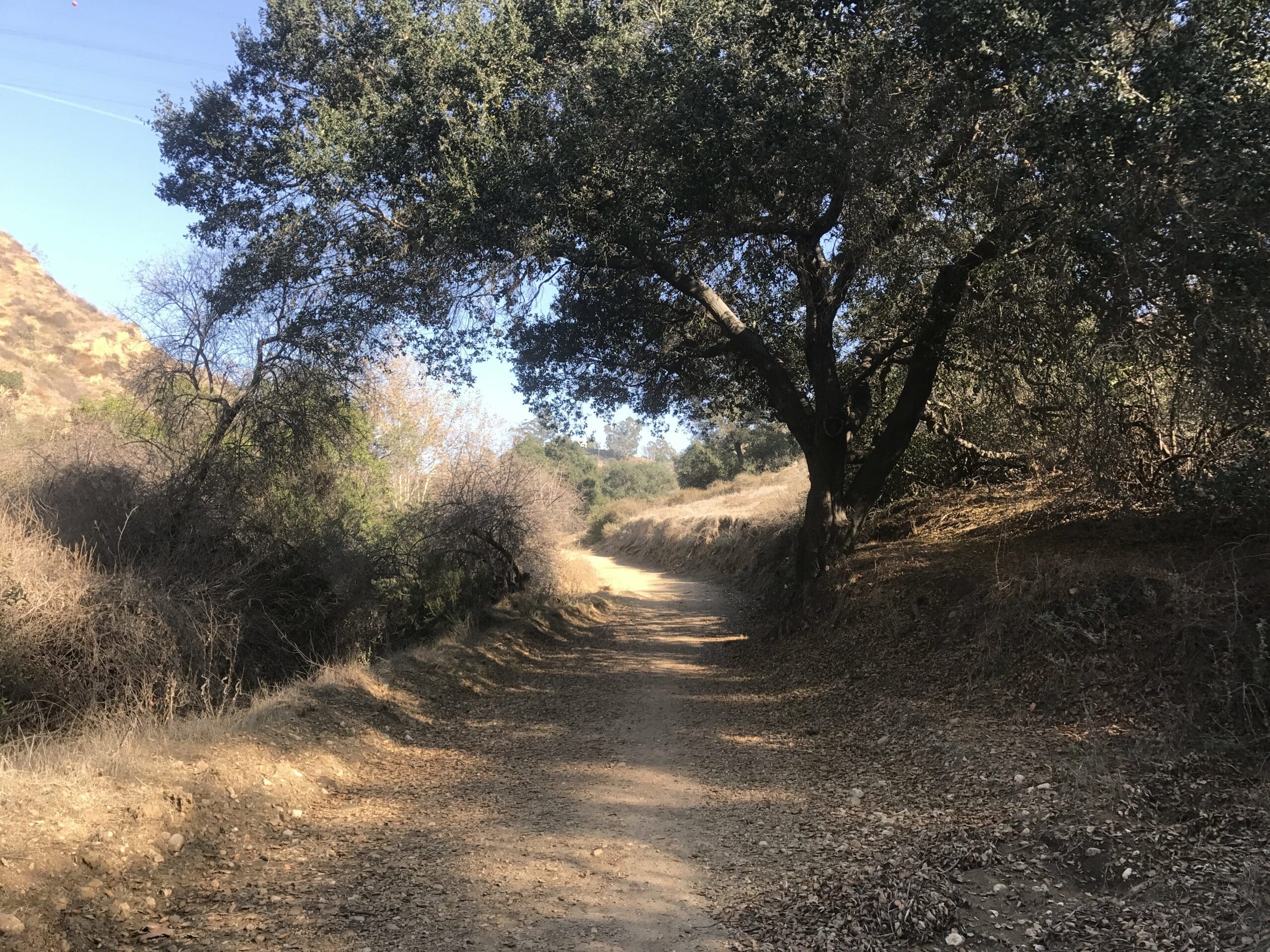
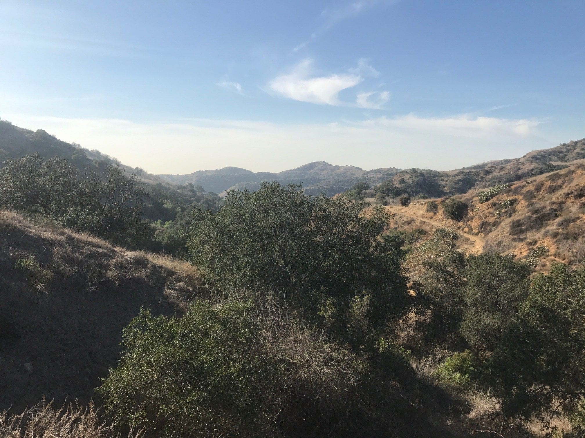
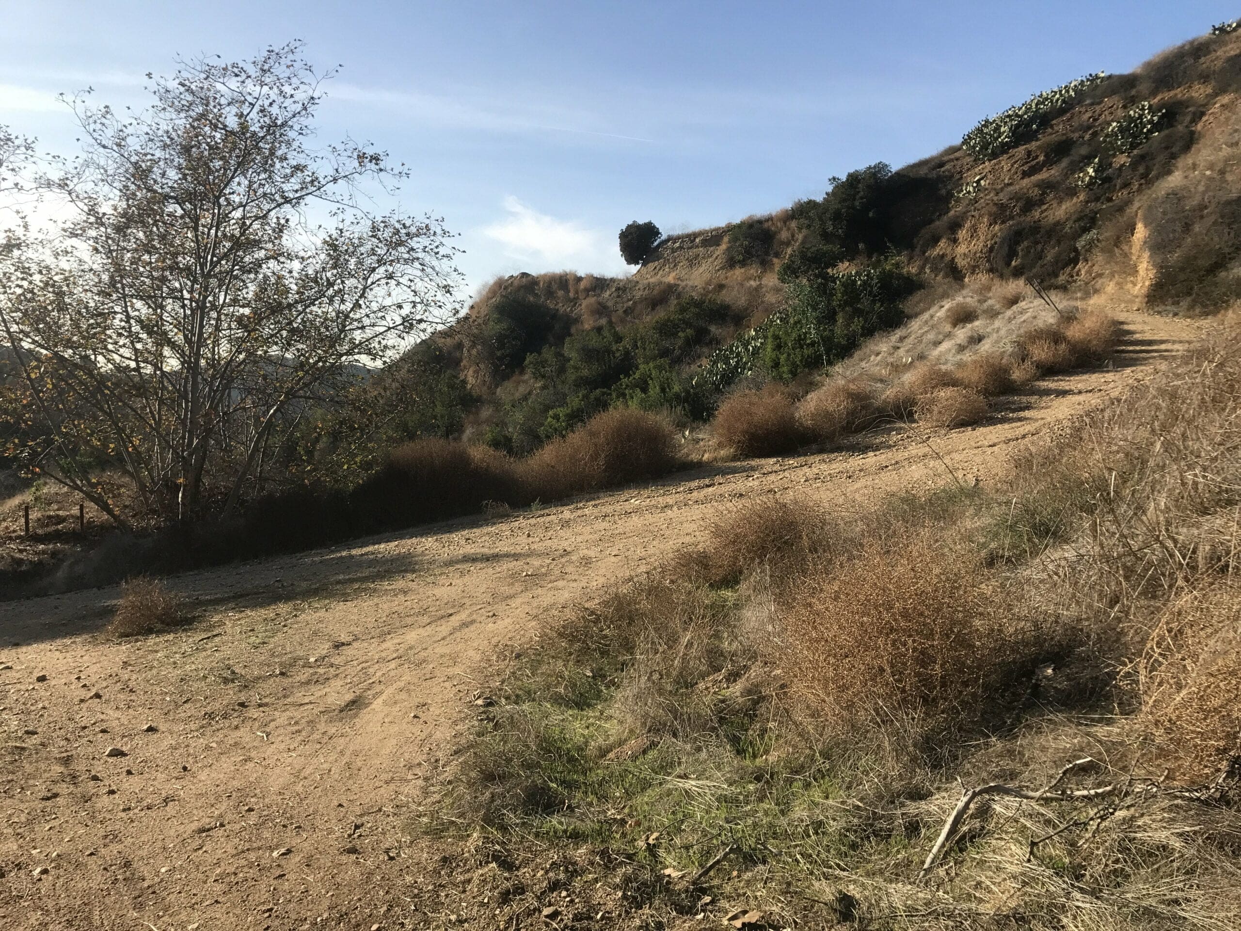
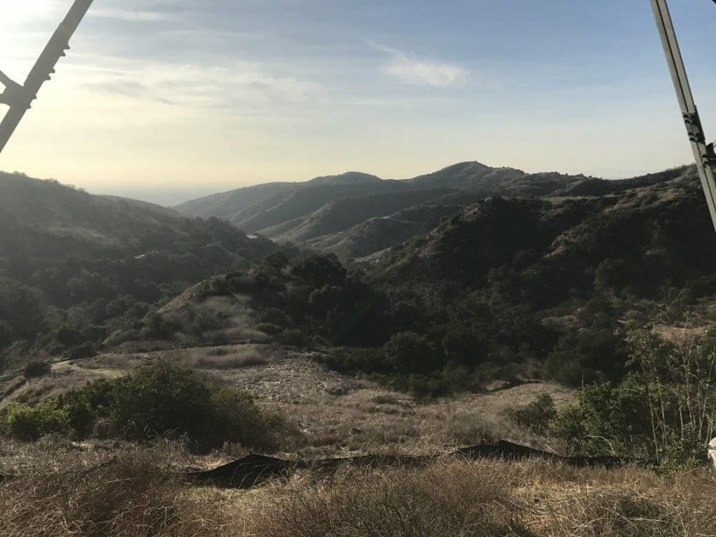
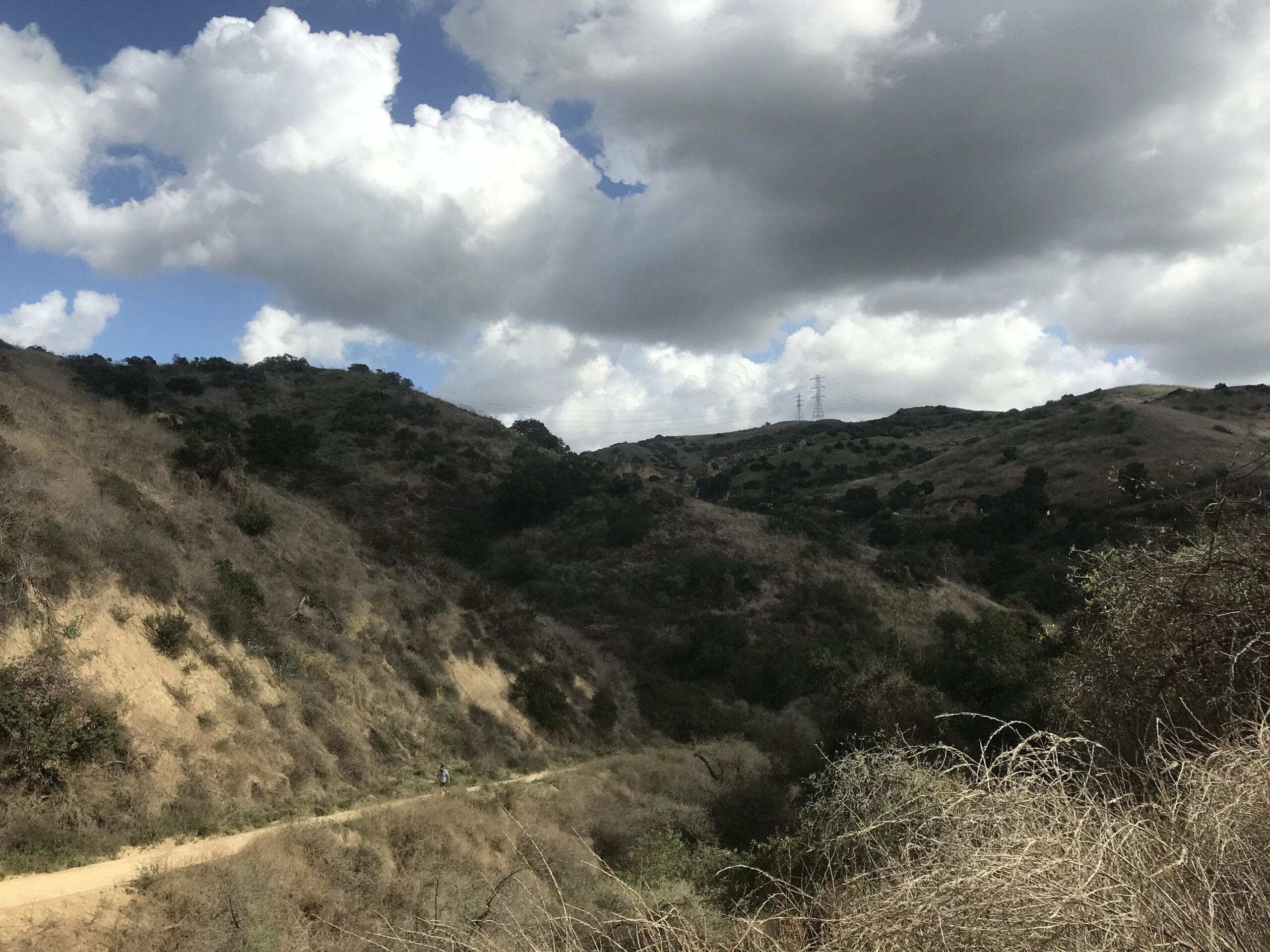
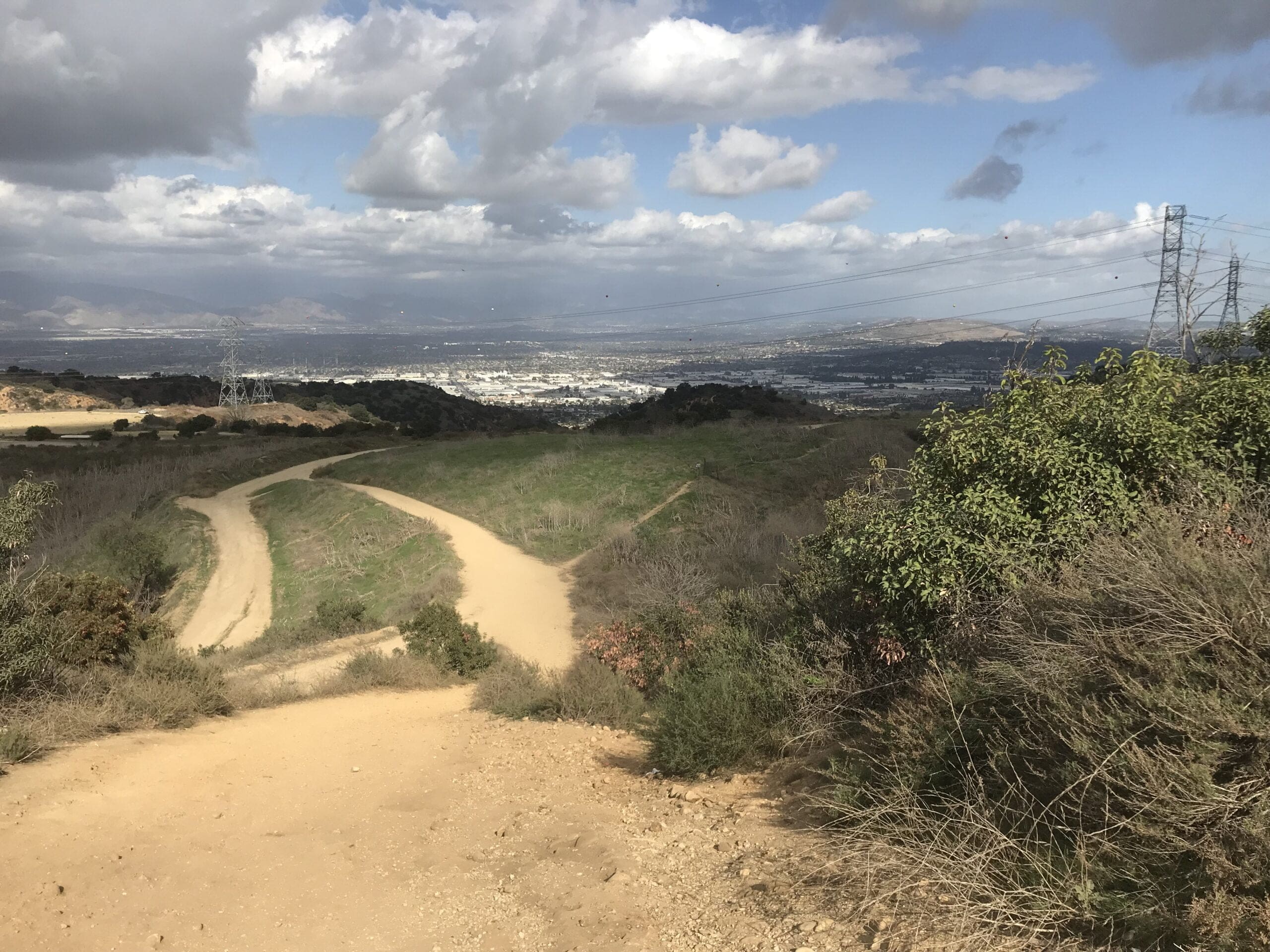
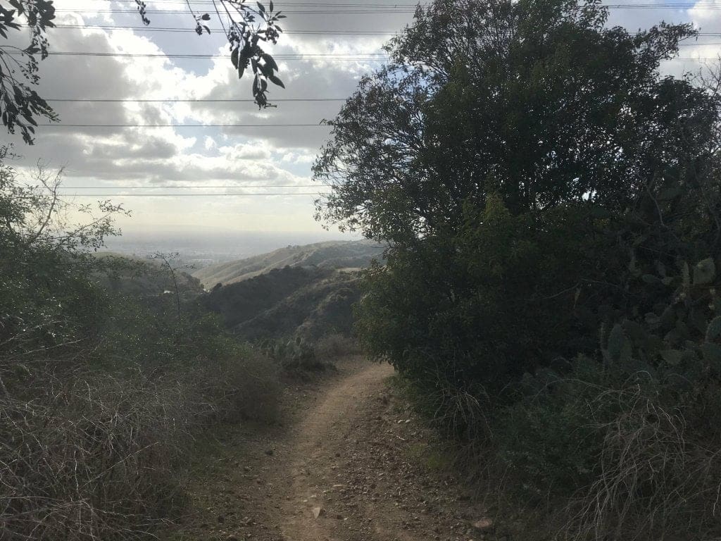
To your right, you’ll notice an abundance of rolling hills and (somewhat) lush greenery (hey, California is trying).
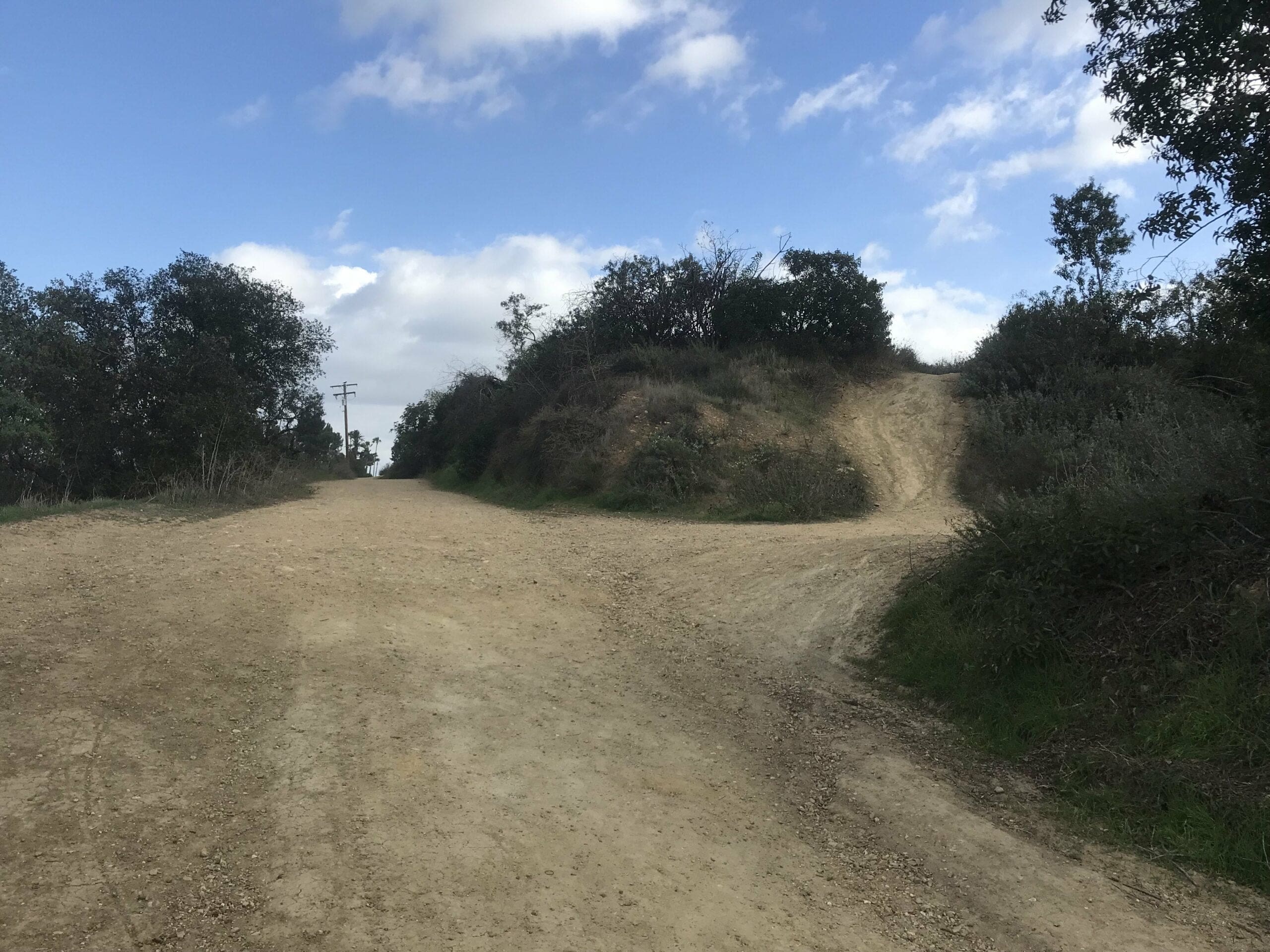
We’re almost to the fork in the road!
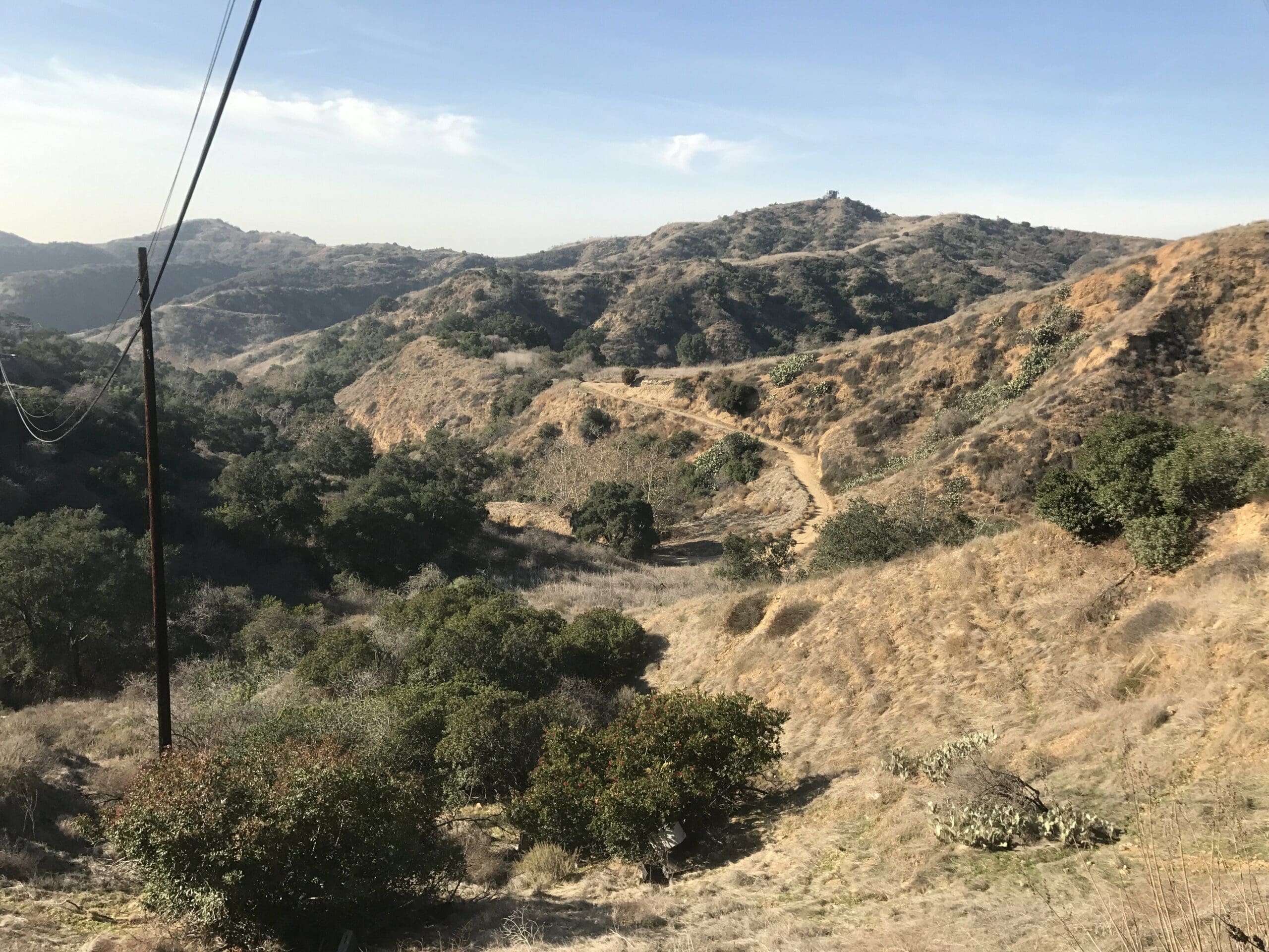
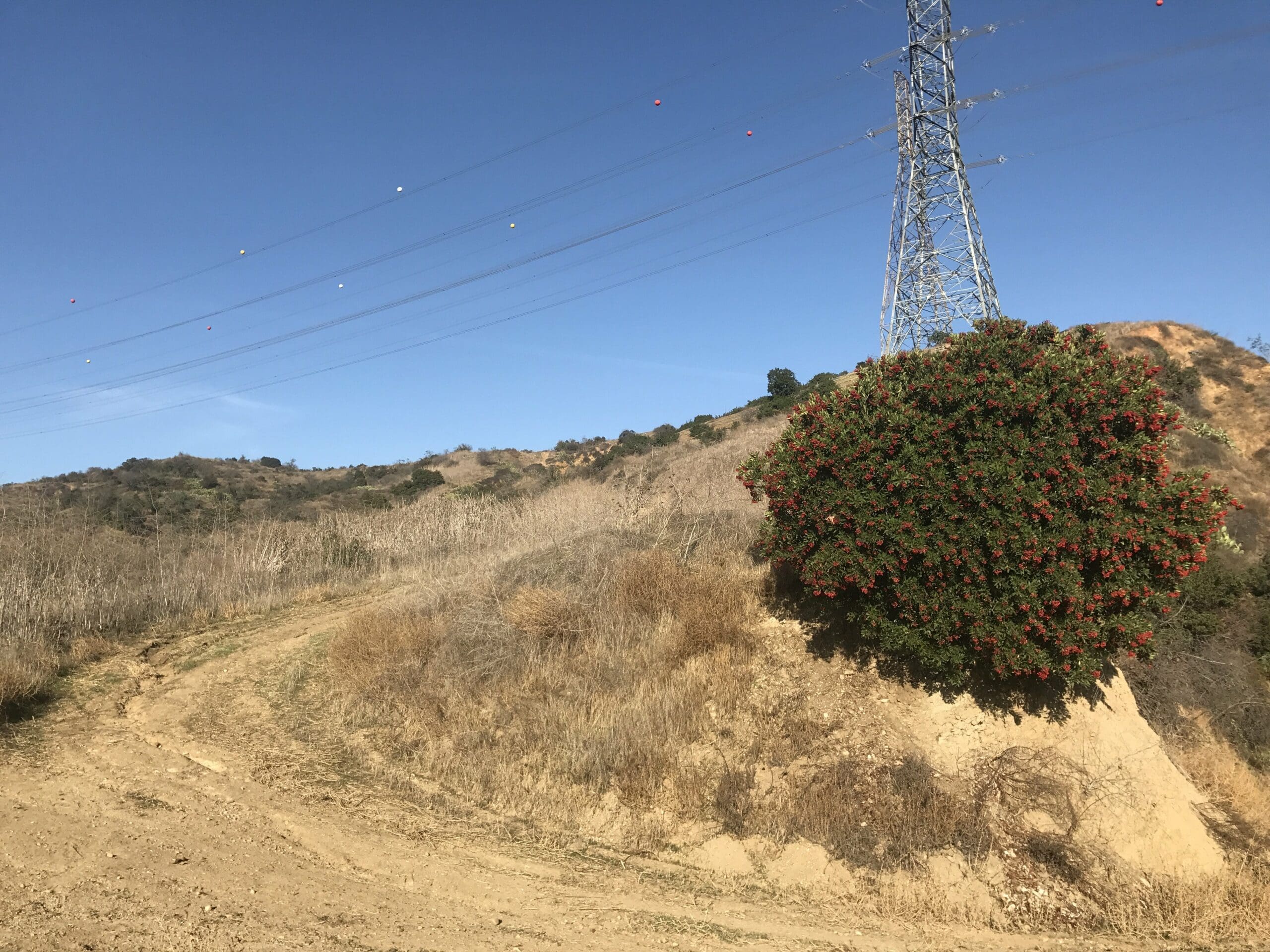
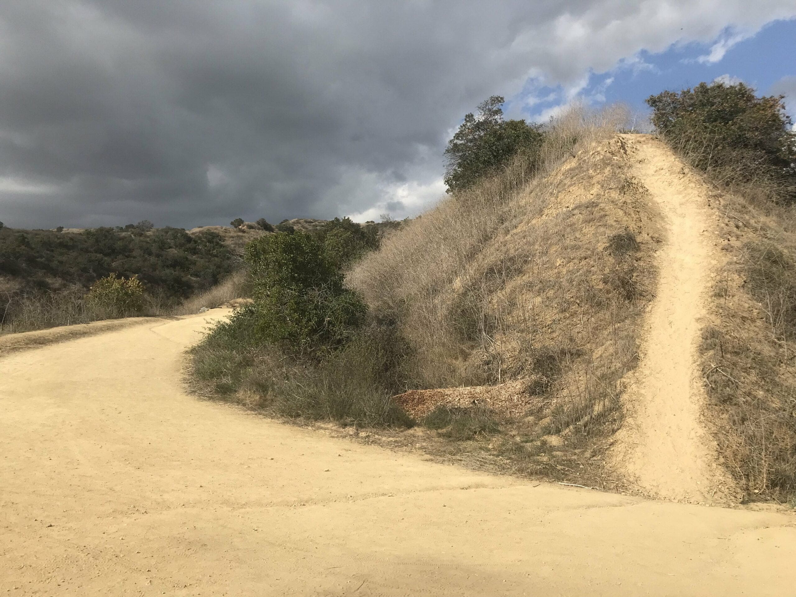
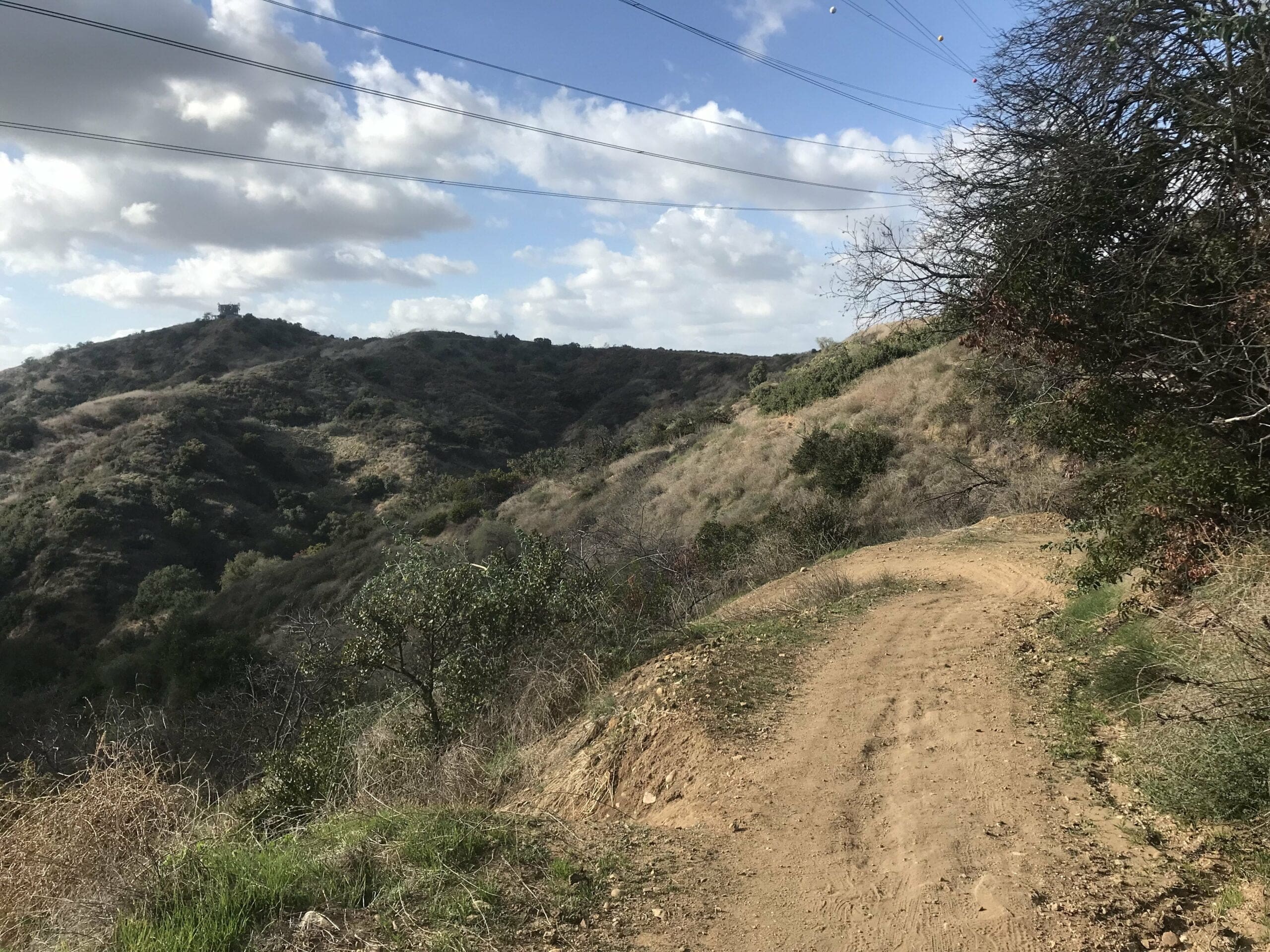
Sure enough, a fork has emerged. If you keep going straight, you’ll trek through the Sumac trail which leads to a water tower.
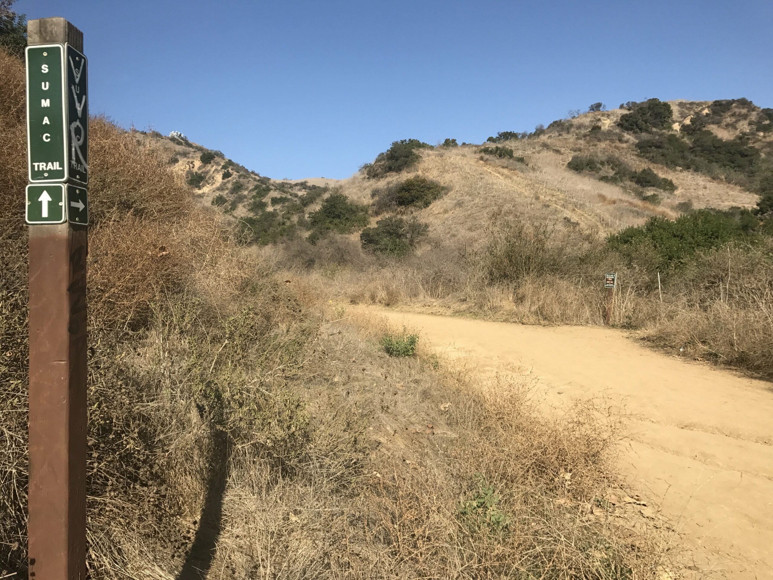
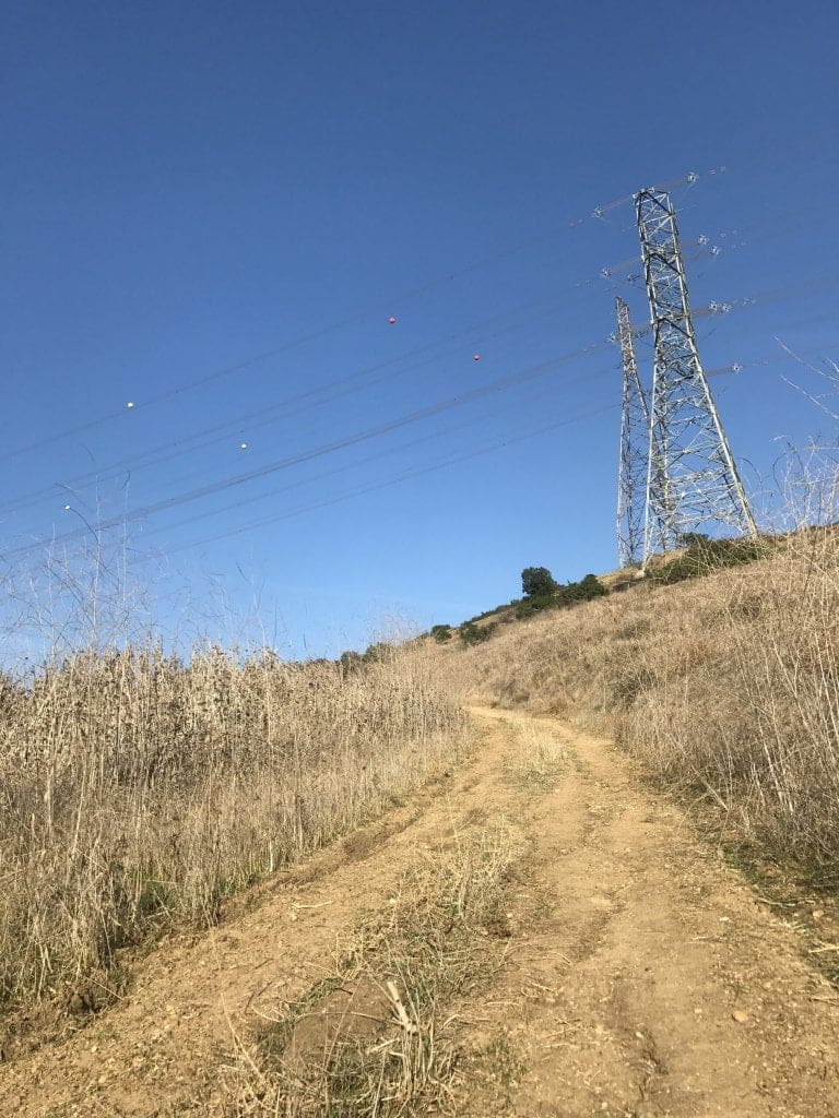
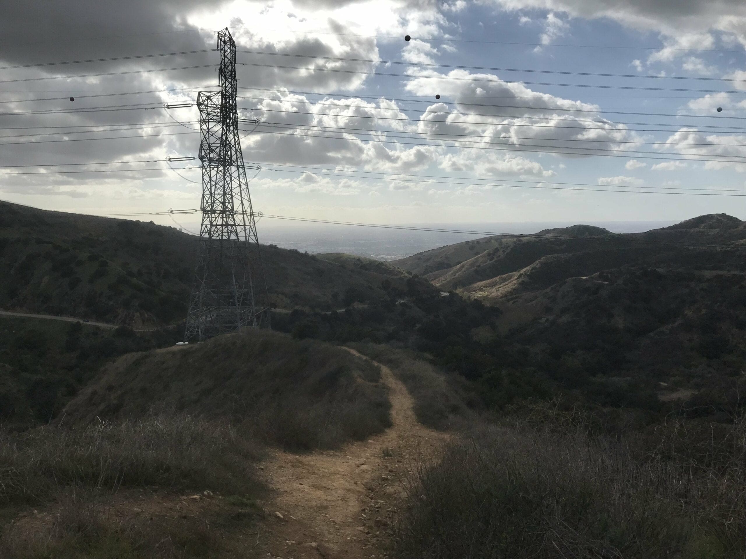
Or, you can venture right to continue on the Turnbull Canyon Trail, which leads up to the electric towers.
Either way you go, both trails loop around and connect to each other, so you can certainly see the water tower and electric towers without having to double all the way back.
A Continuation of the Turnbull Canyon Trail
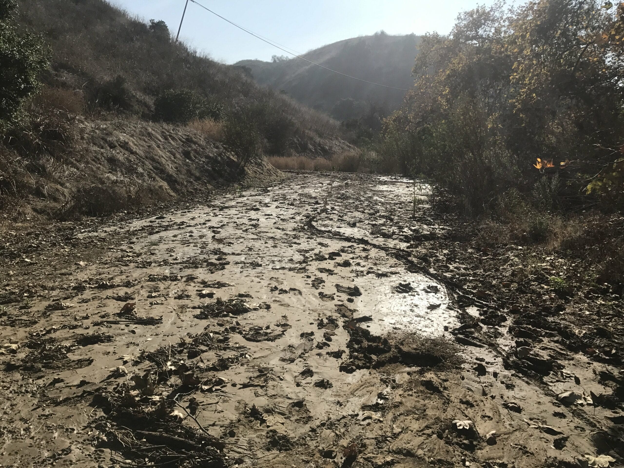
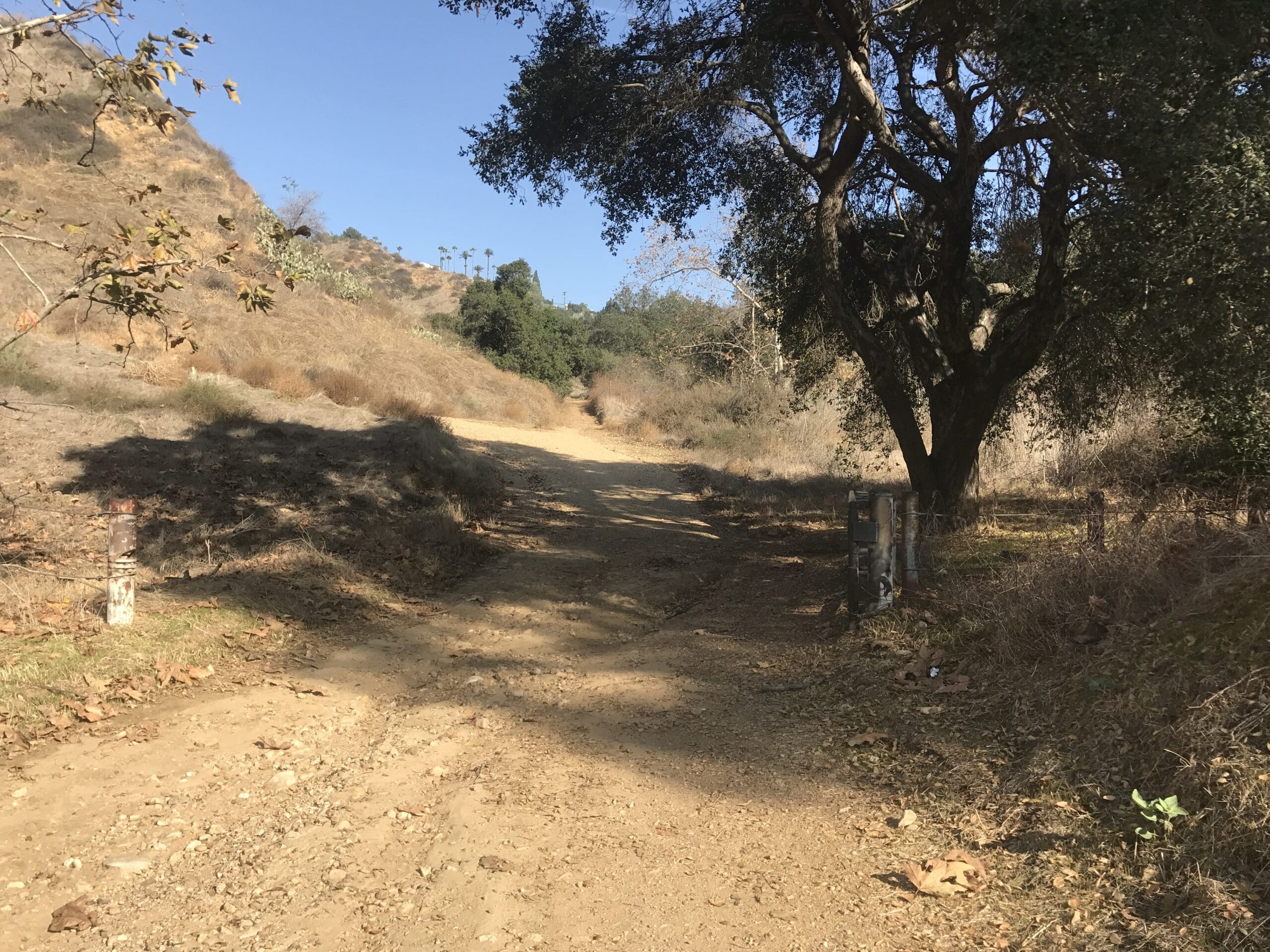
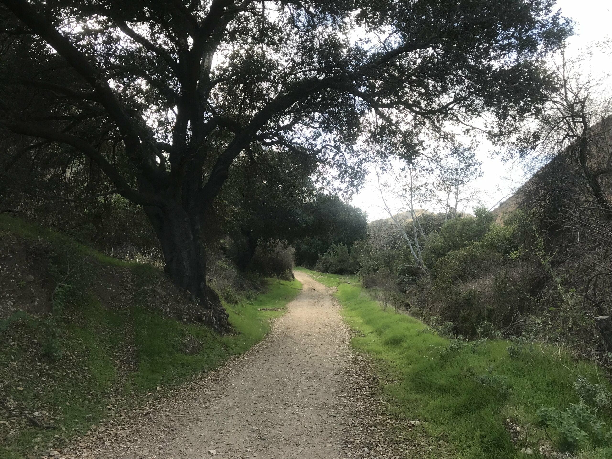
Part of this trail is very muddy, so it’d be wise to not bring any brand new shoes (mine got very soiled because I am blissfully ignorant sometimes).
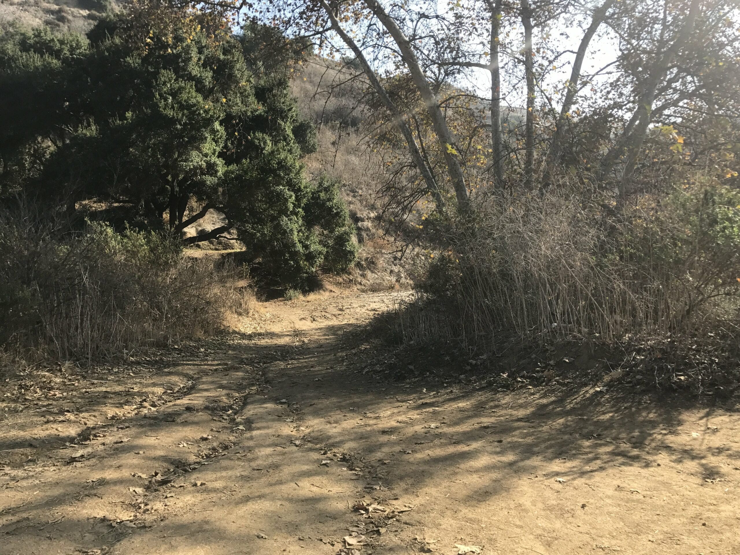
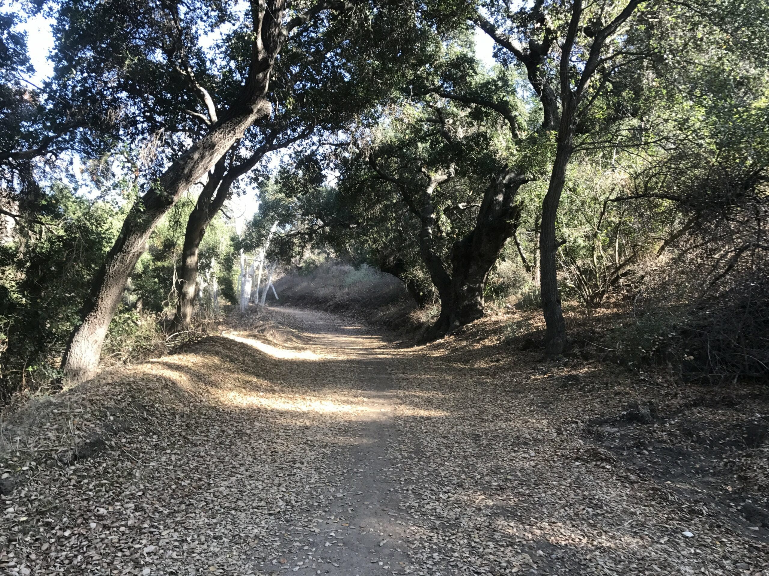
The nice part about this trail is the wondrous amount of shade compared to the first half of the trailhead.
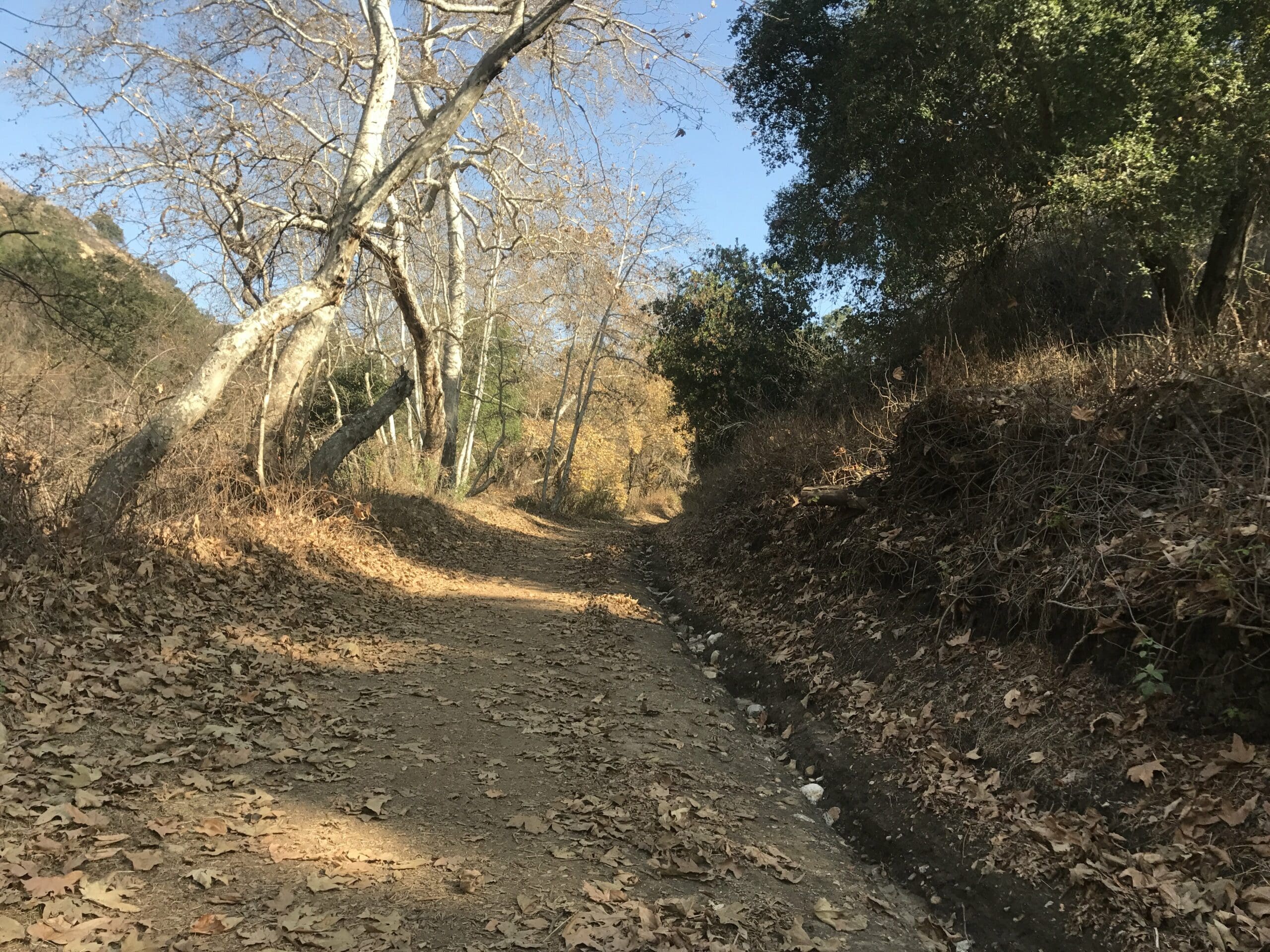
There have been so far, 0 inclines, which is perfect for beginner hikers and kids.
About a quarter of a mile in, with no other human in sight.
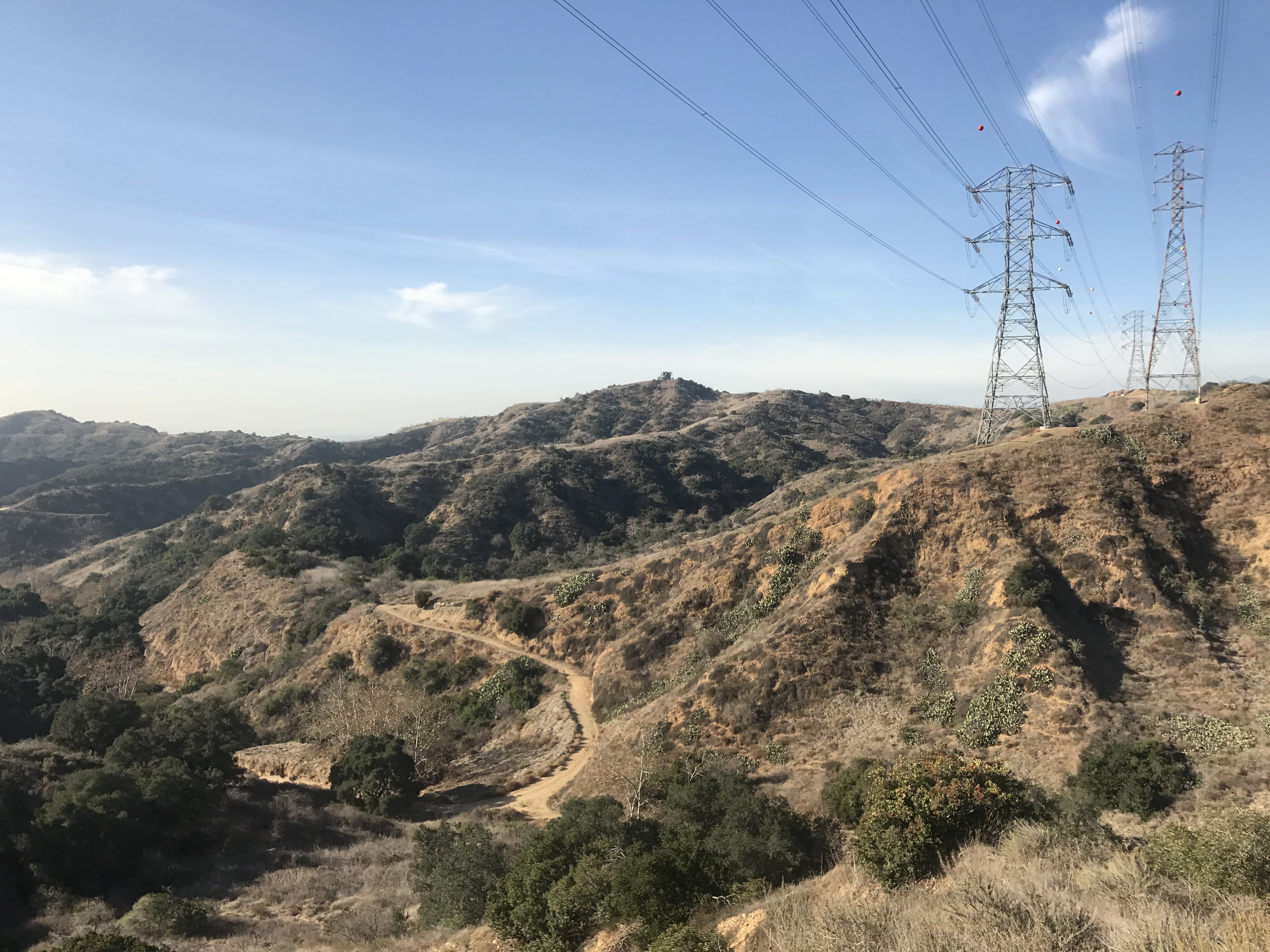
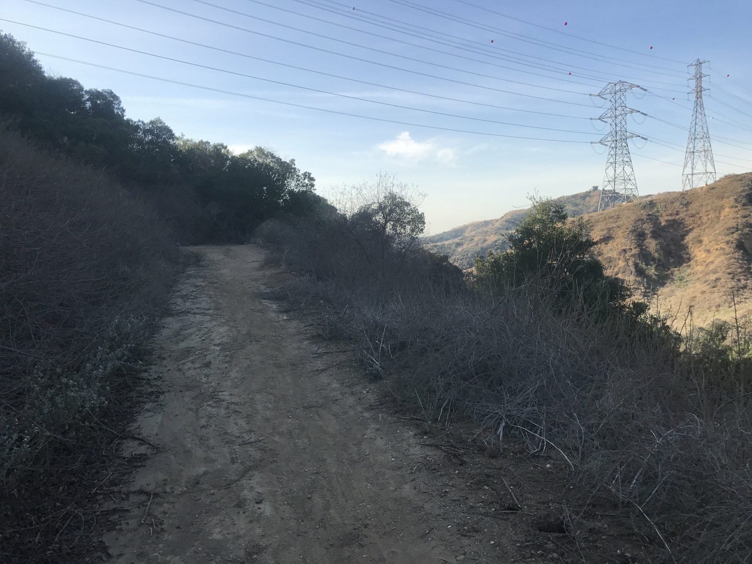
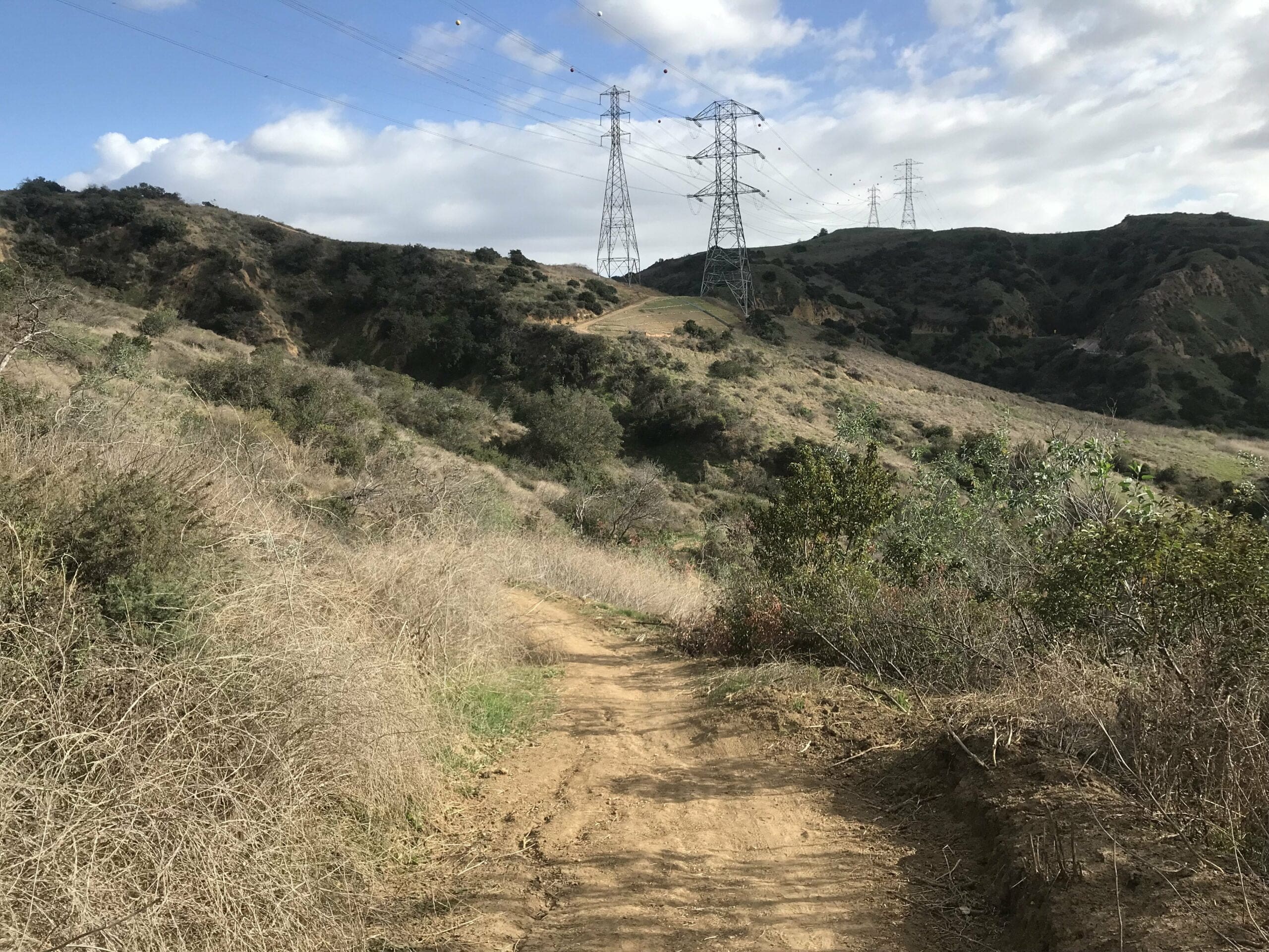
I notice the first electric tower in the distance, which means the second fork in the road must be near.
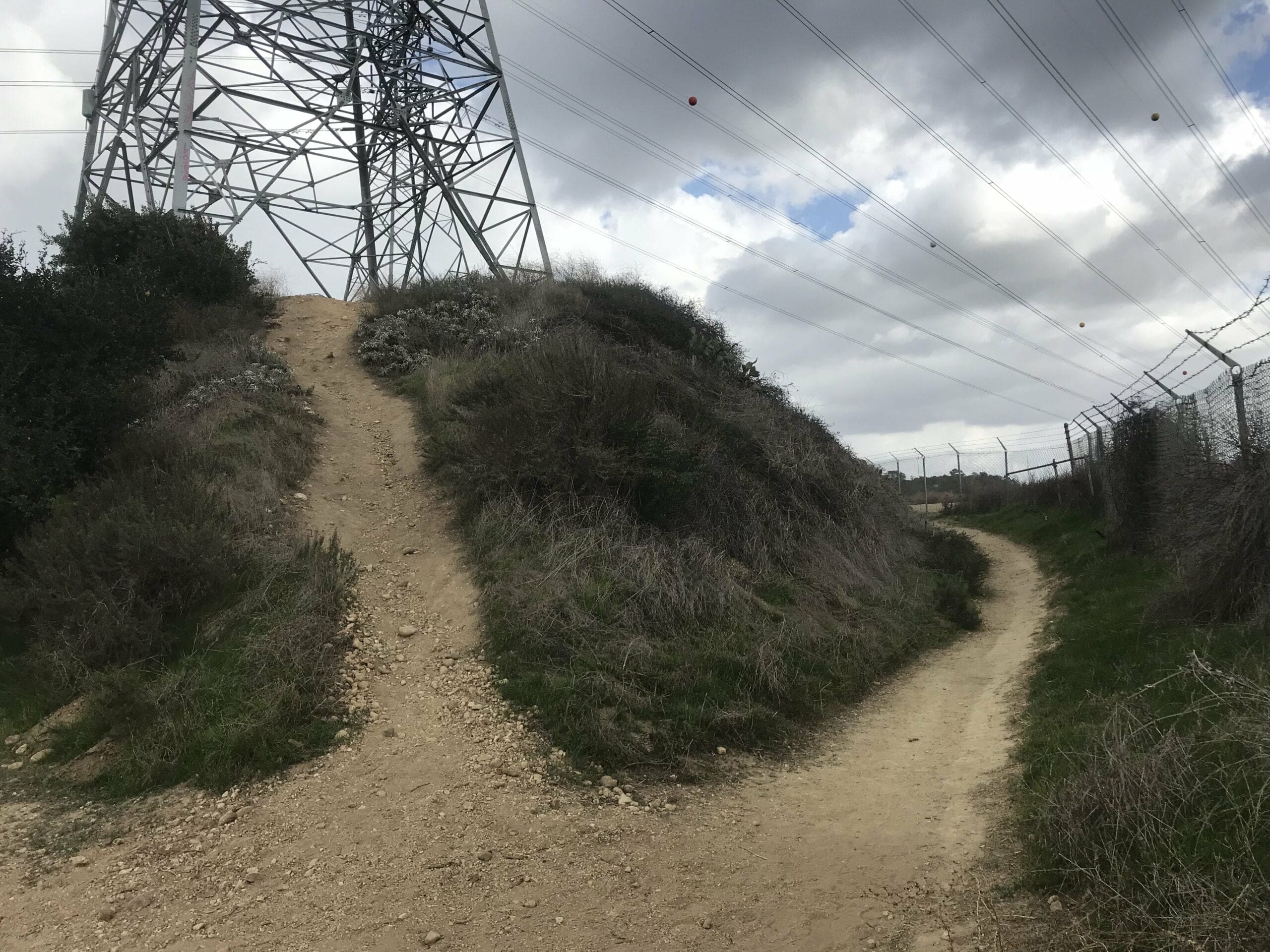
About a 15 minute of a walk in, you’ll come to your next big decision of the day:
To your left: the incline to the electric towers
Straight ahead: the hike to the secret sector of hidden treasure
I, of course, choose the latter, as I love stumbling upon seemingly random and useless junk.
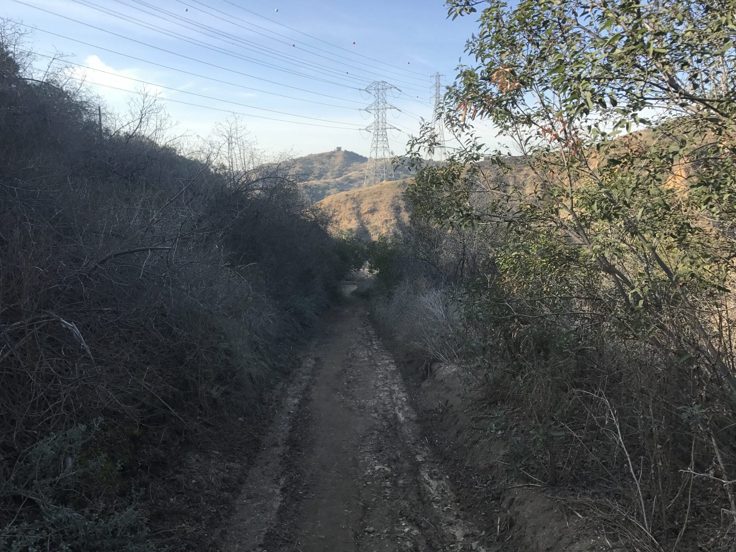
To The Super Secret Sector of Treasures
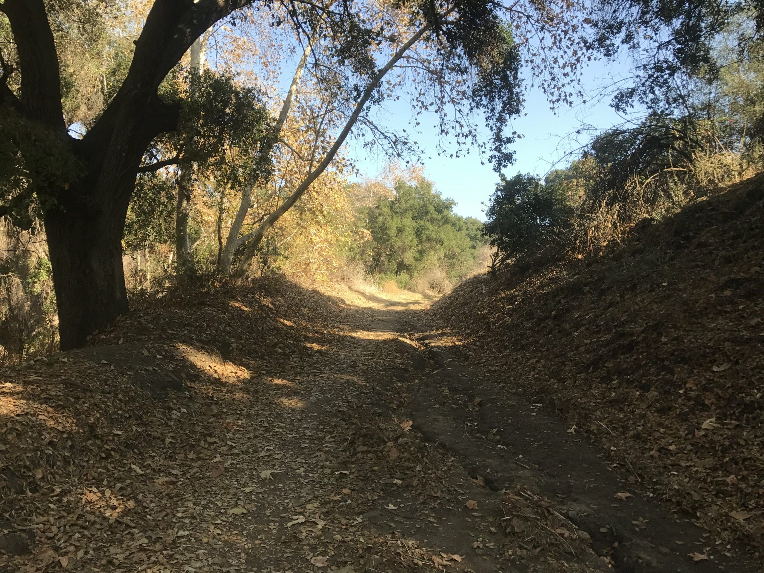
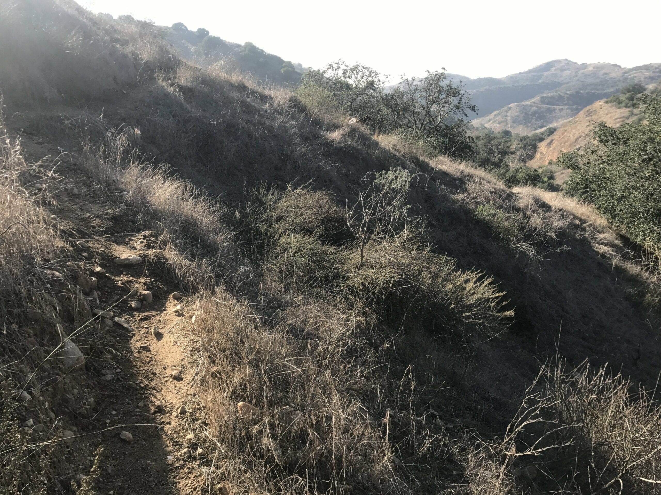
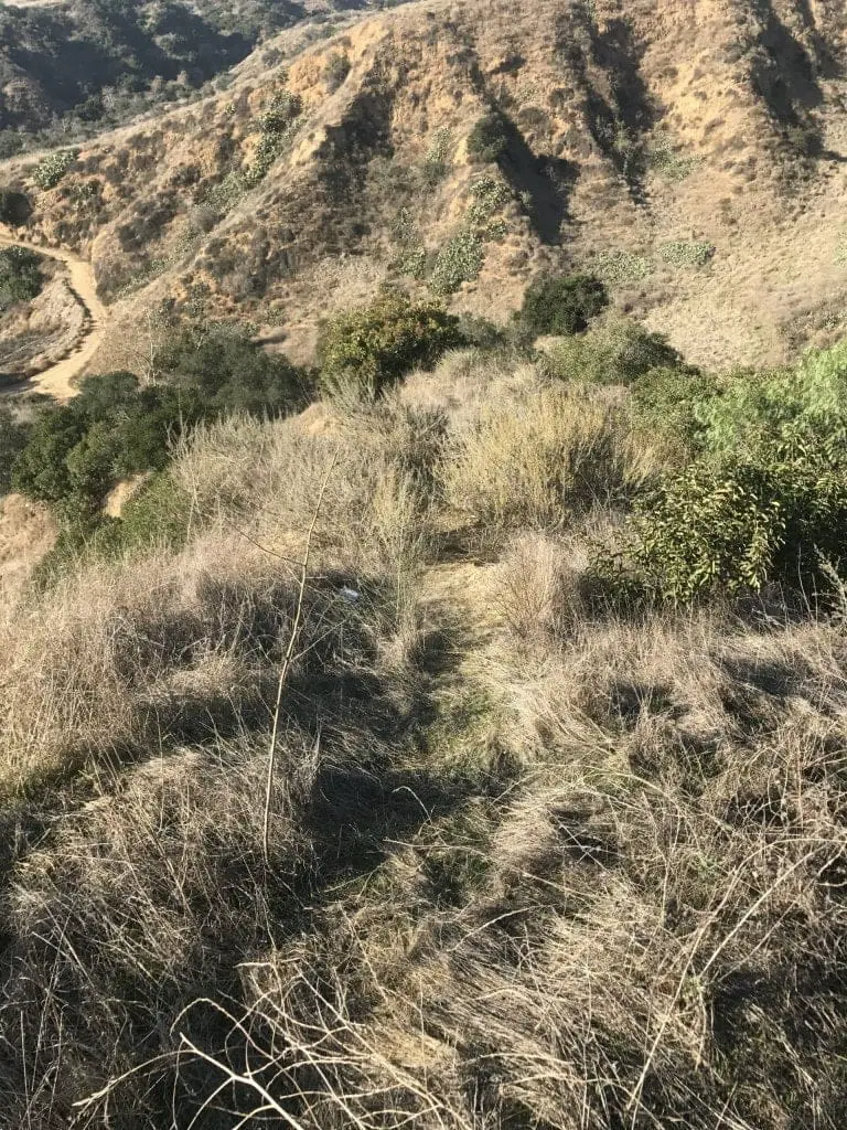
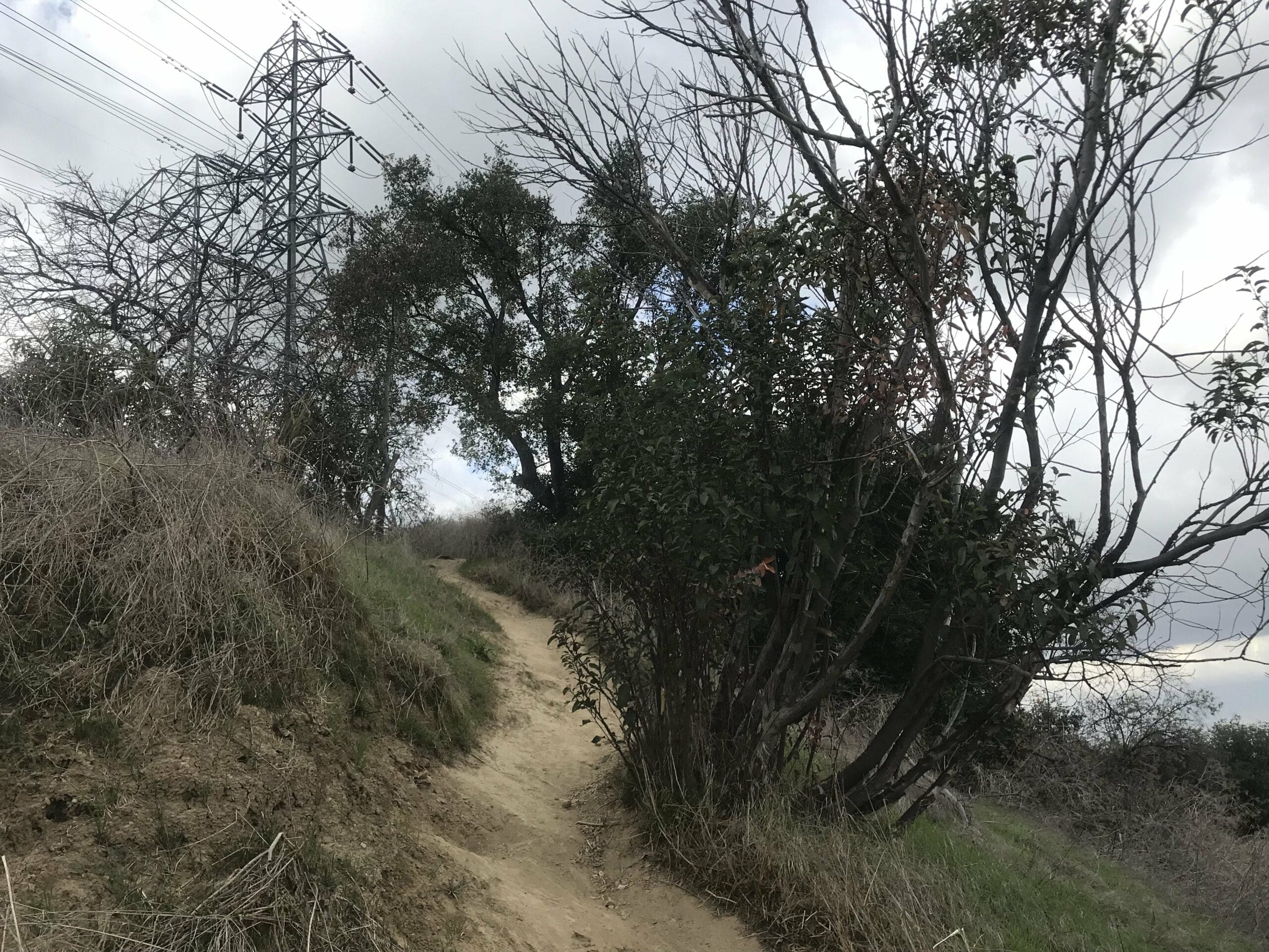
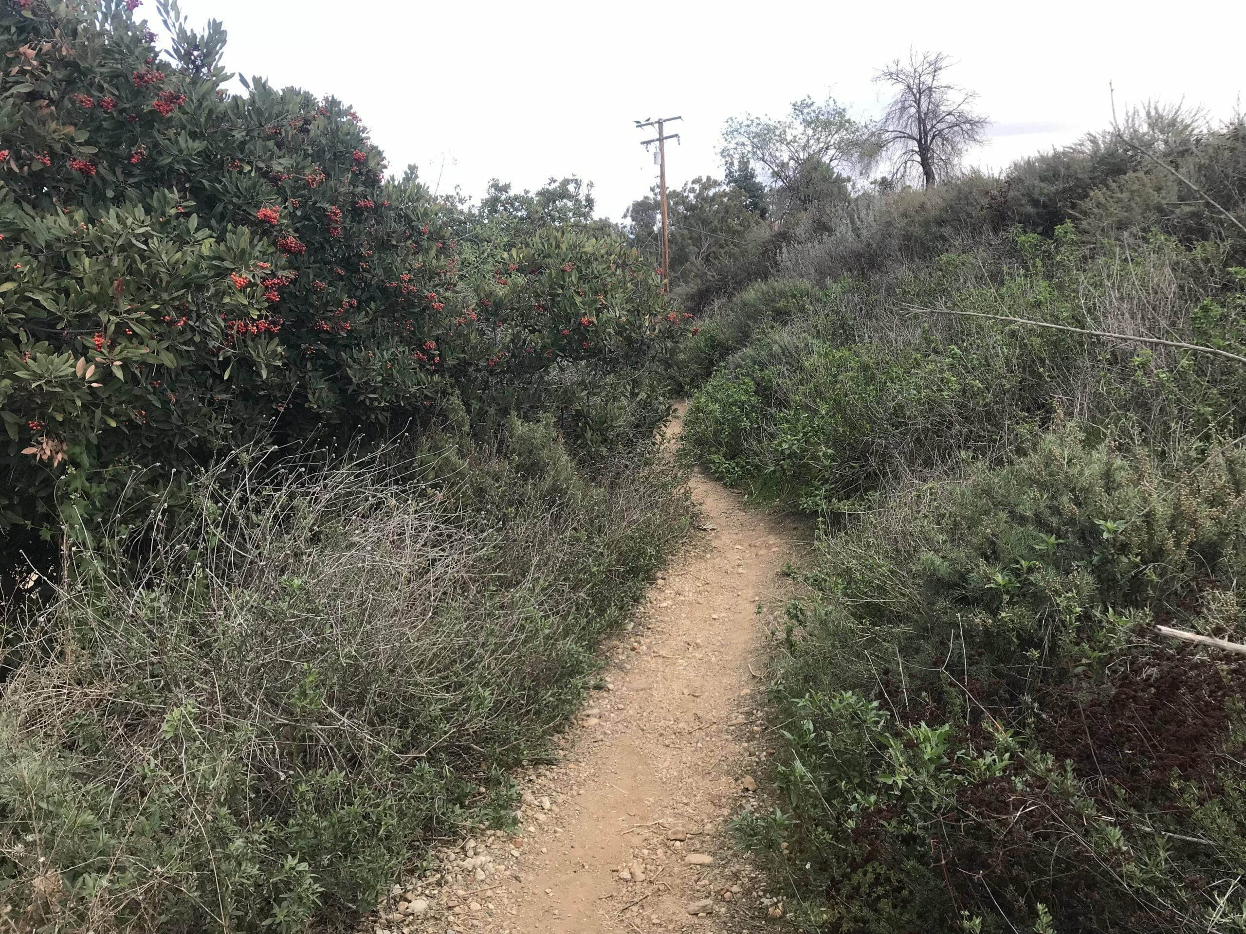
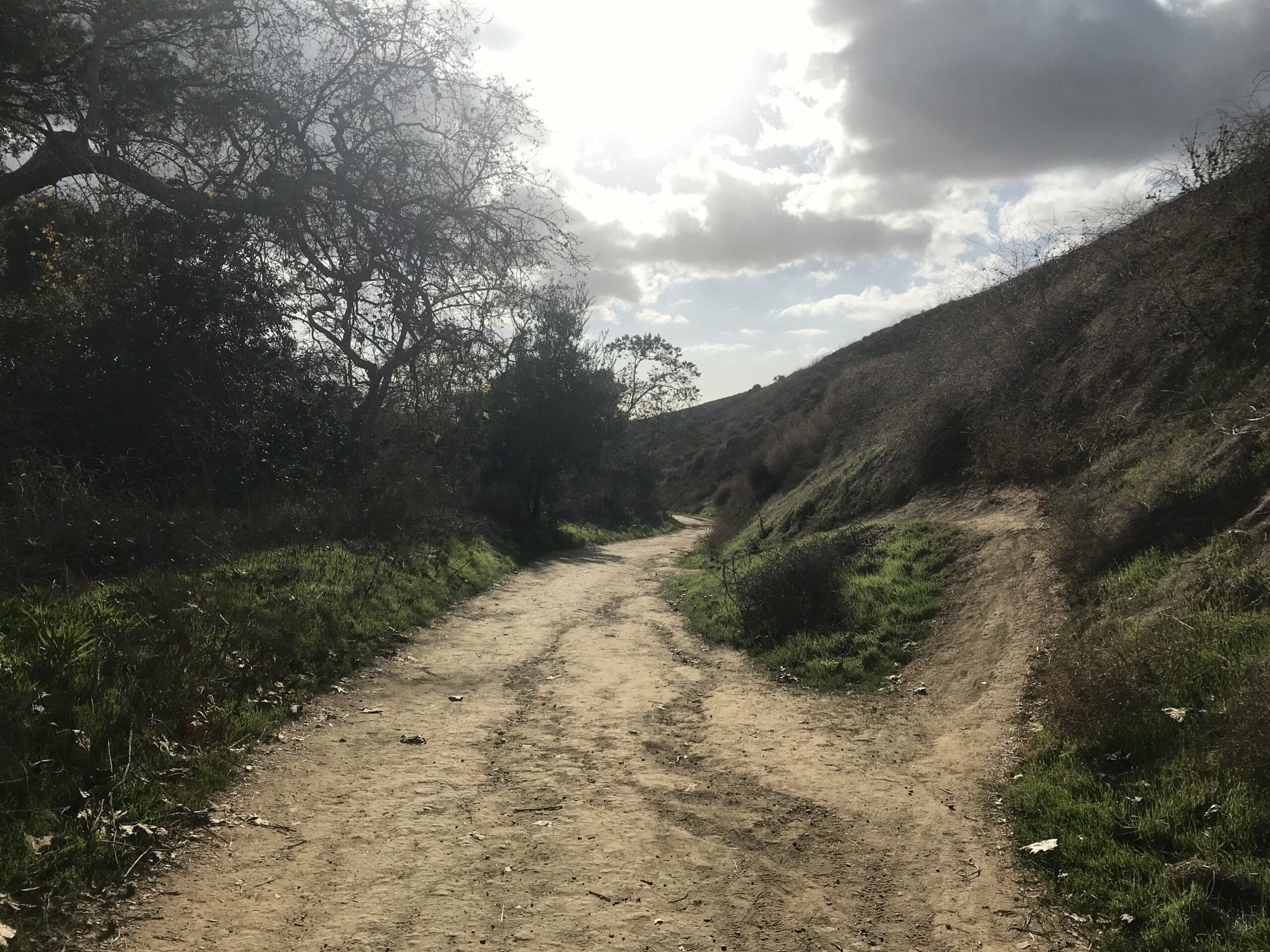
The trail narrows slightly which provides a more intimate look at nature.
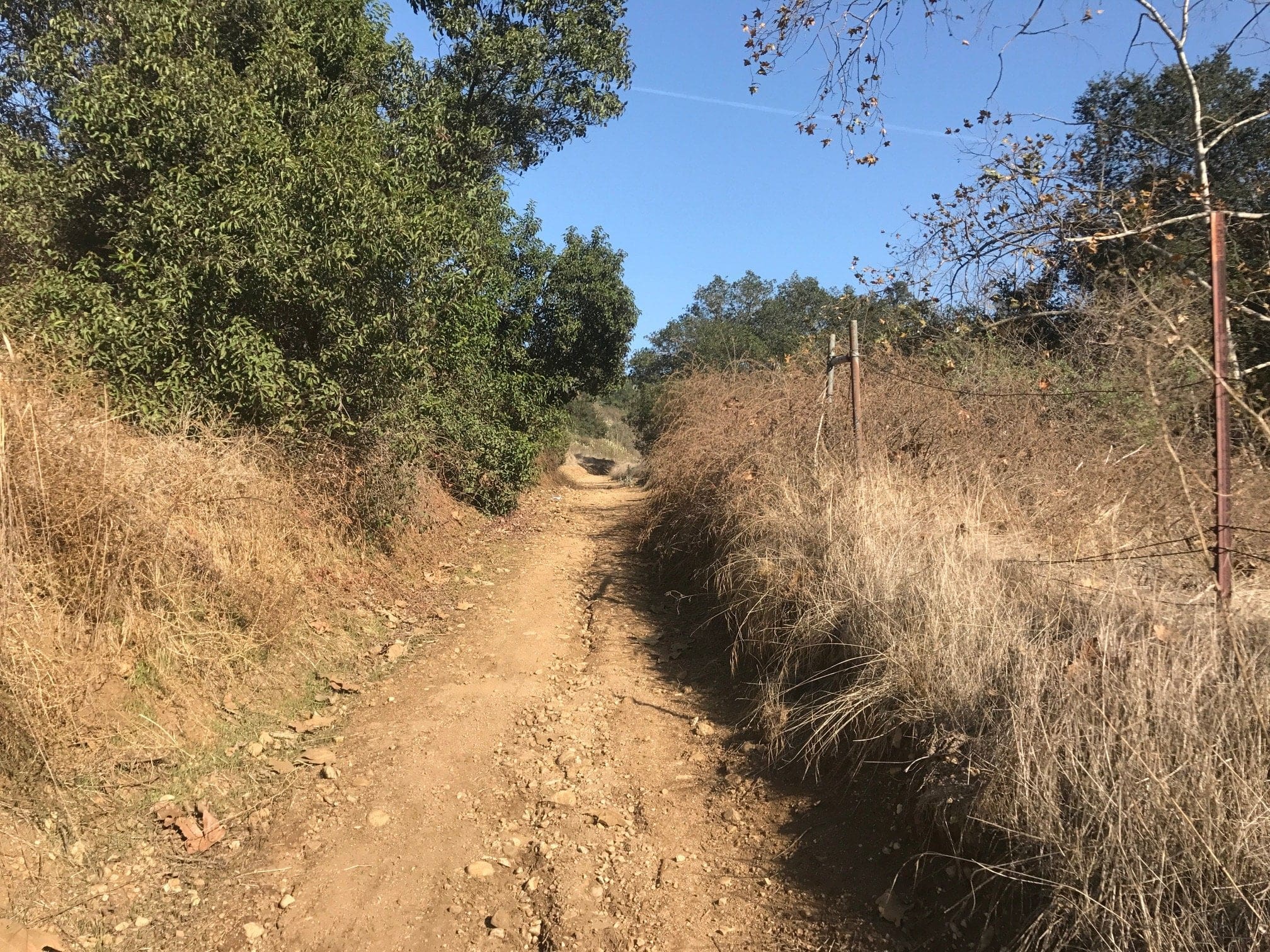
The trail starts to ascend (about time) with some added switchbacks.
This is where things get really interesting:
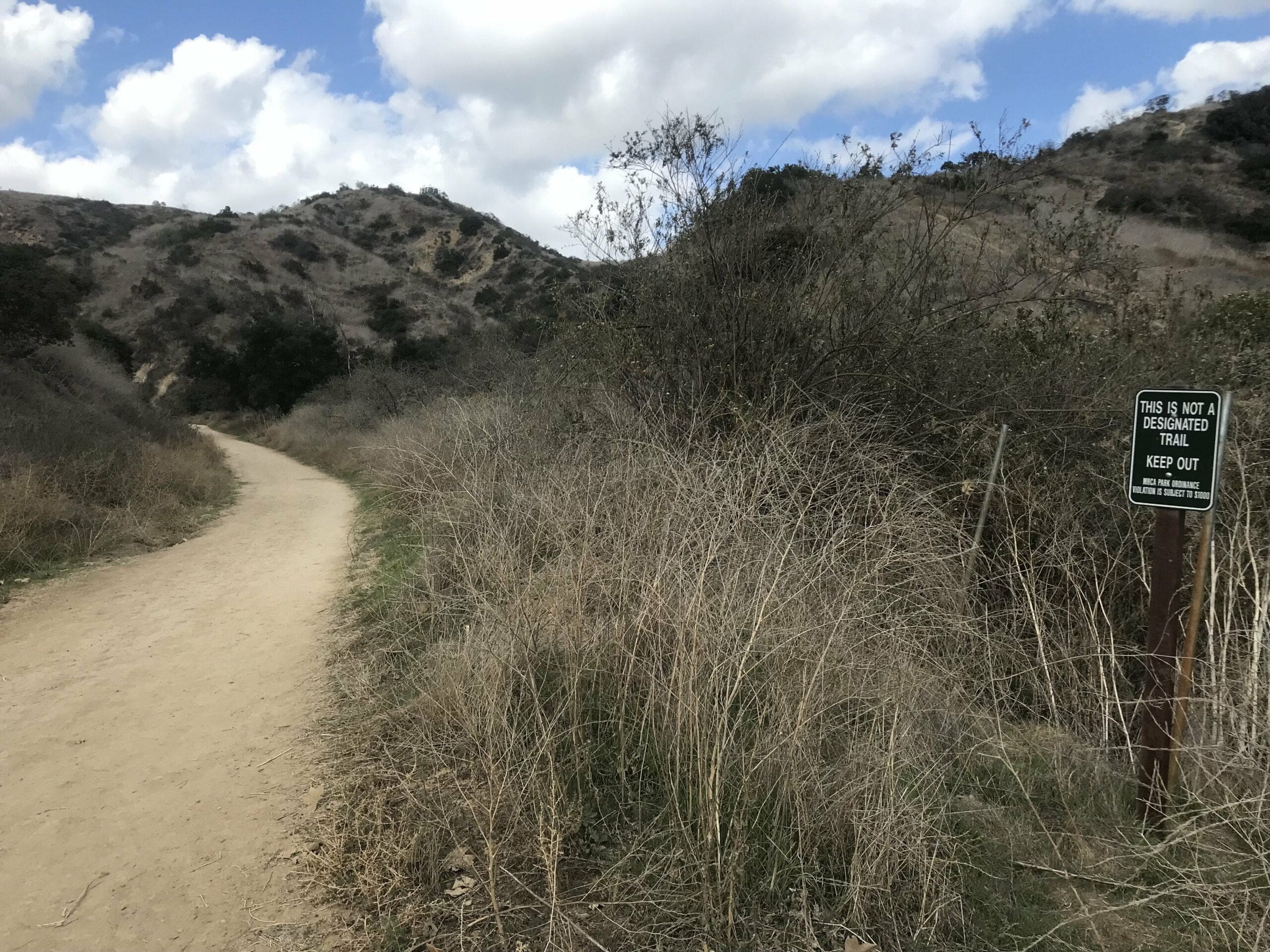
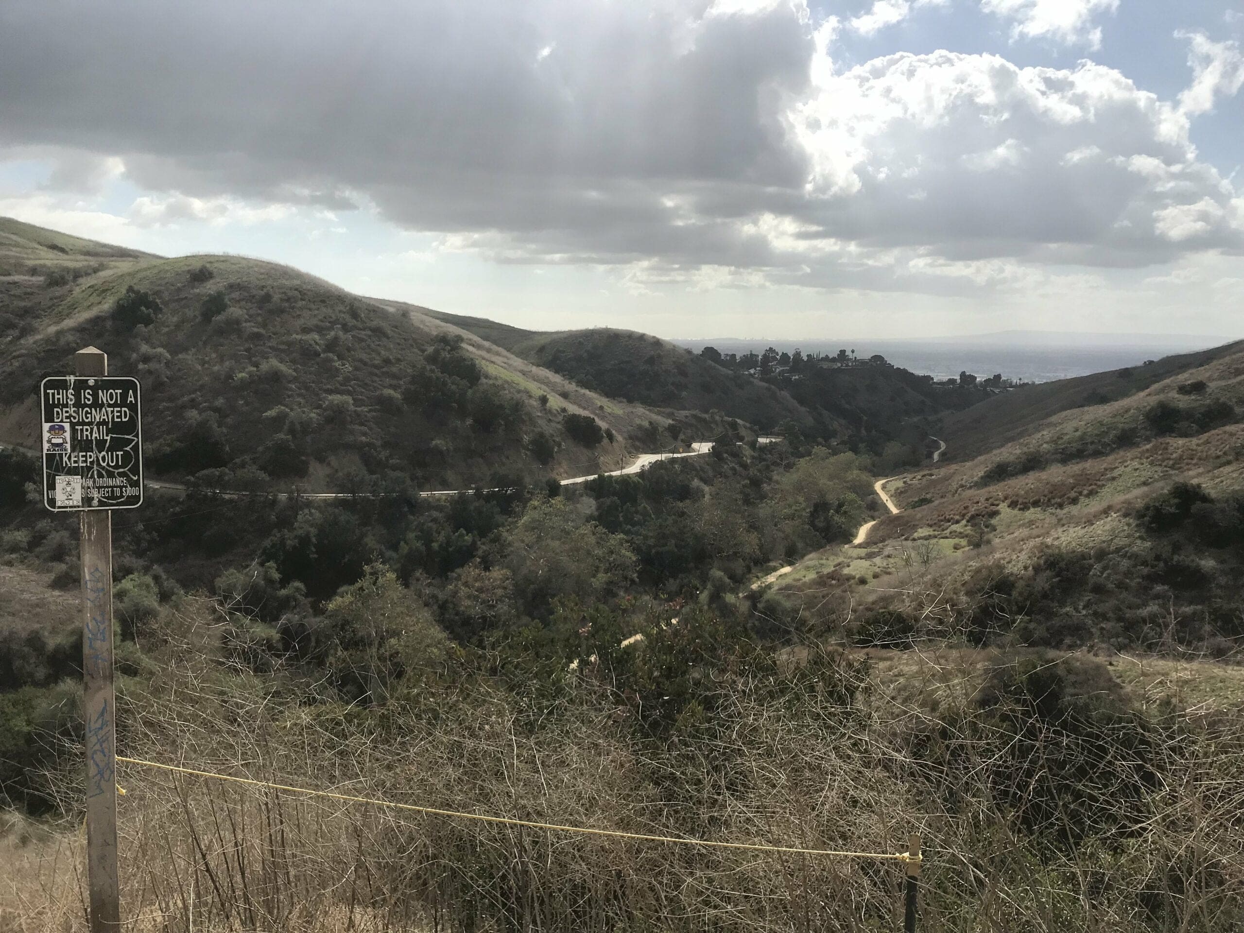
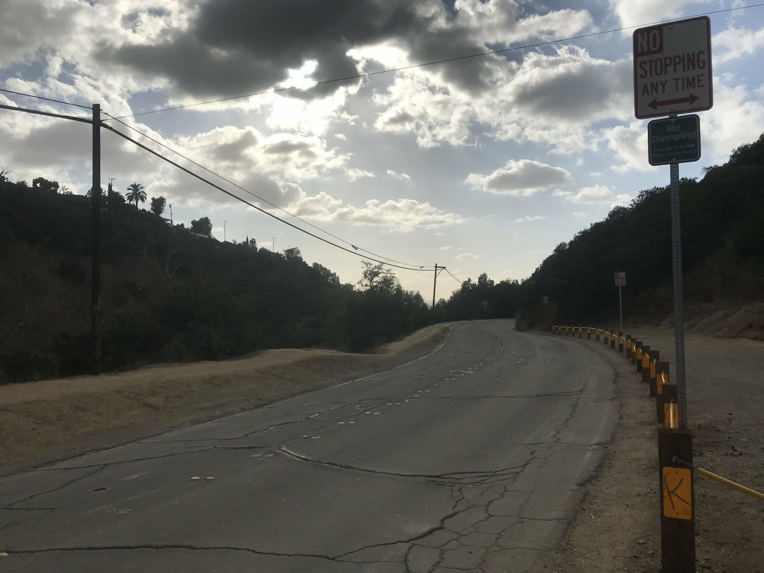
You can either continue straight up on the trail, which leads to a dead end upon a road.
Or, you can venture off into a very narrow trail within the wilderness of the hills (believe me, it can’t get more Man Vs Wild then this).
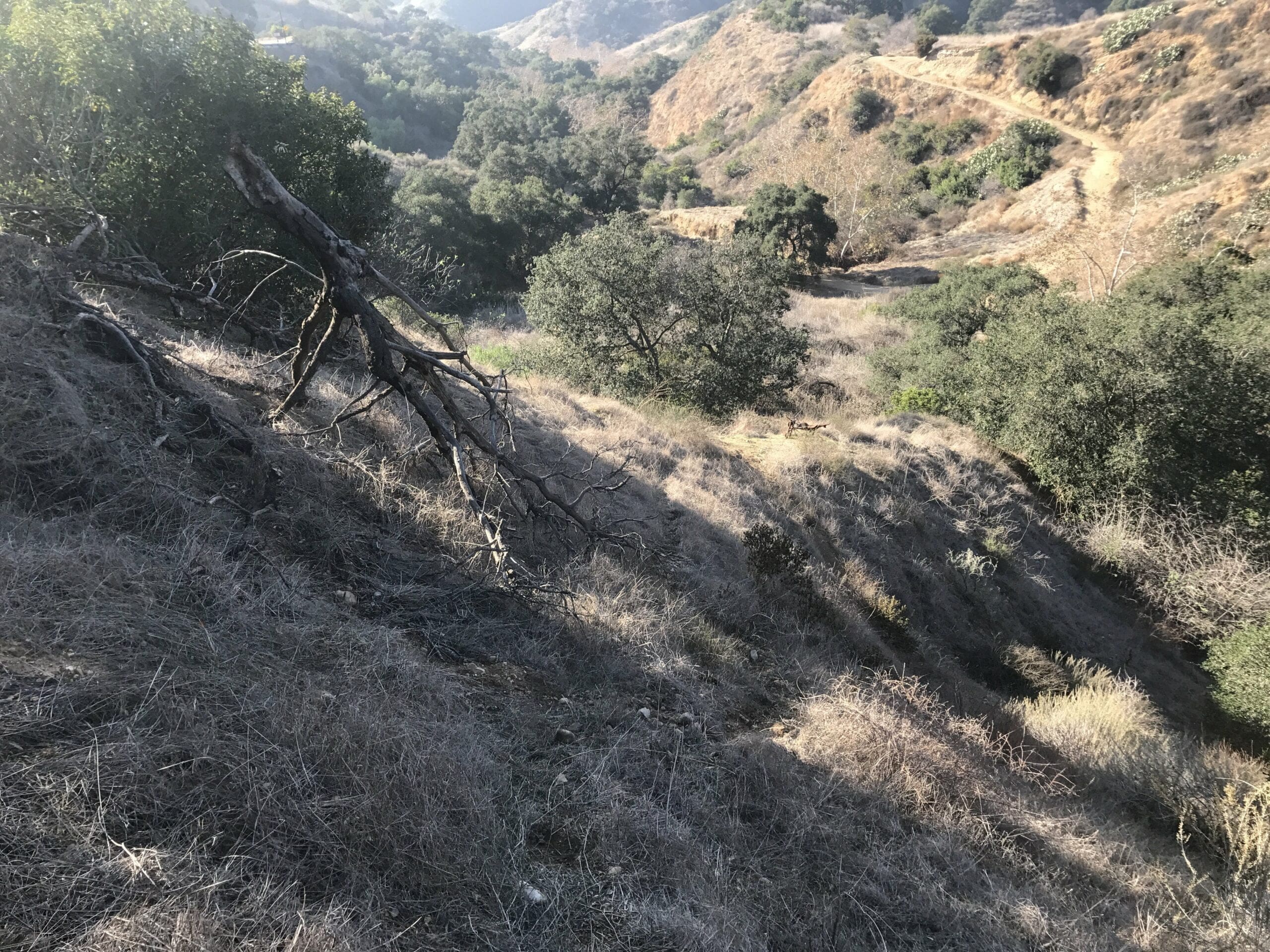
Watch your footing on this part of the trail. One wrong slip-up and you could take quite the tumble down.
Treasure #1: a rusted bike sans wheels. I’m willing to bet that it could still work with a little elbow grease.
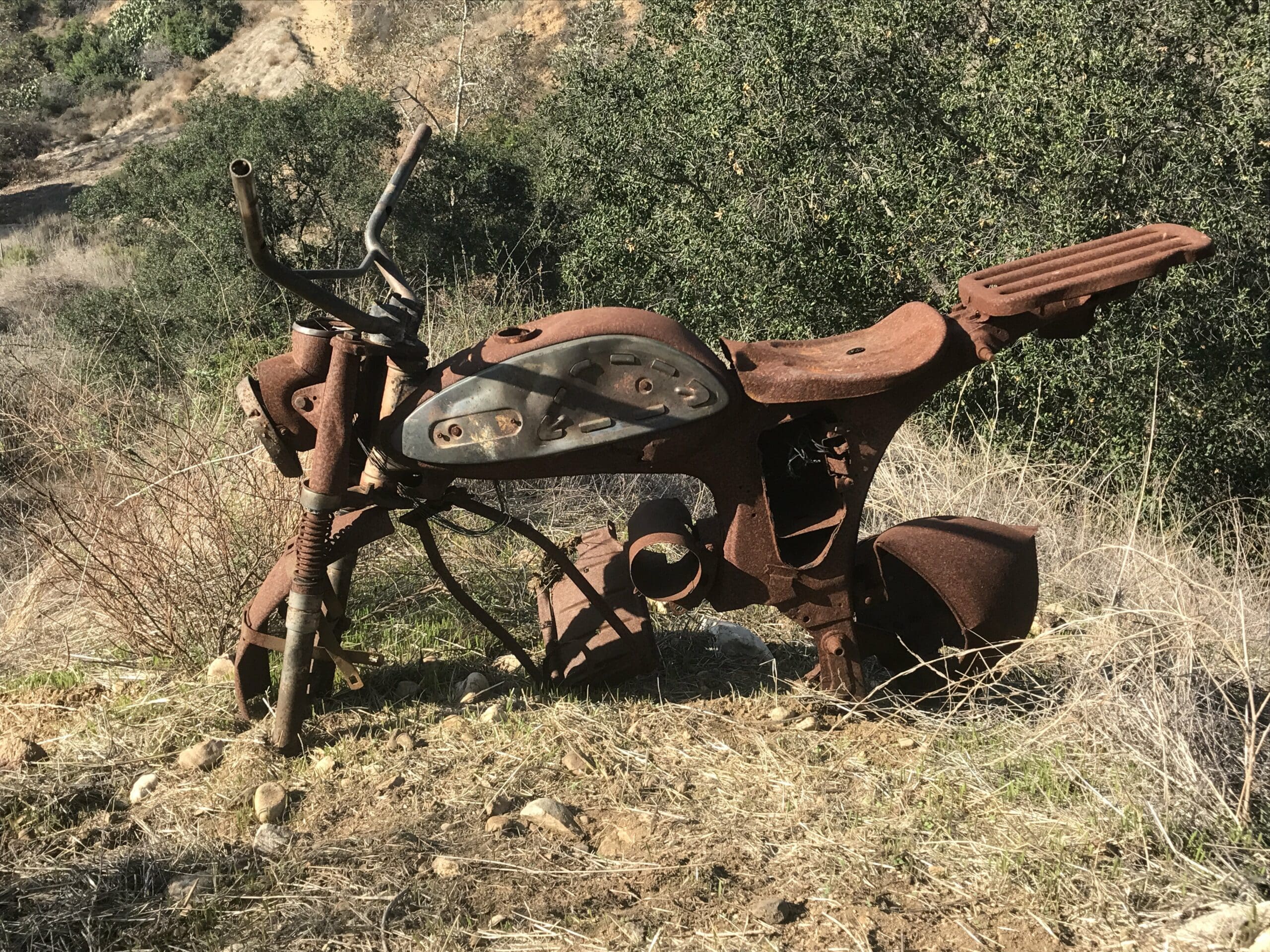
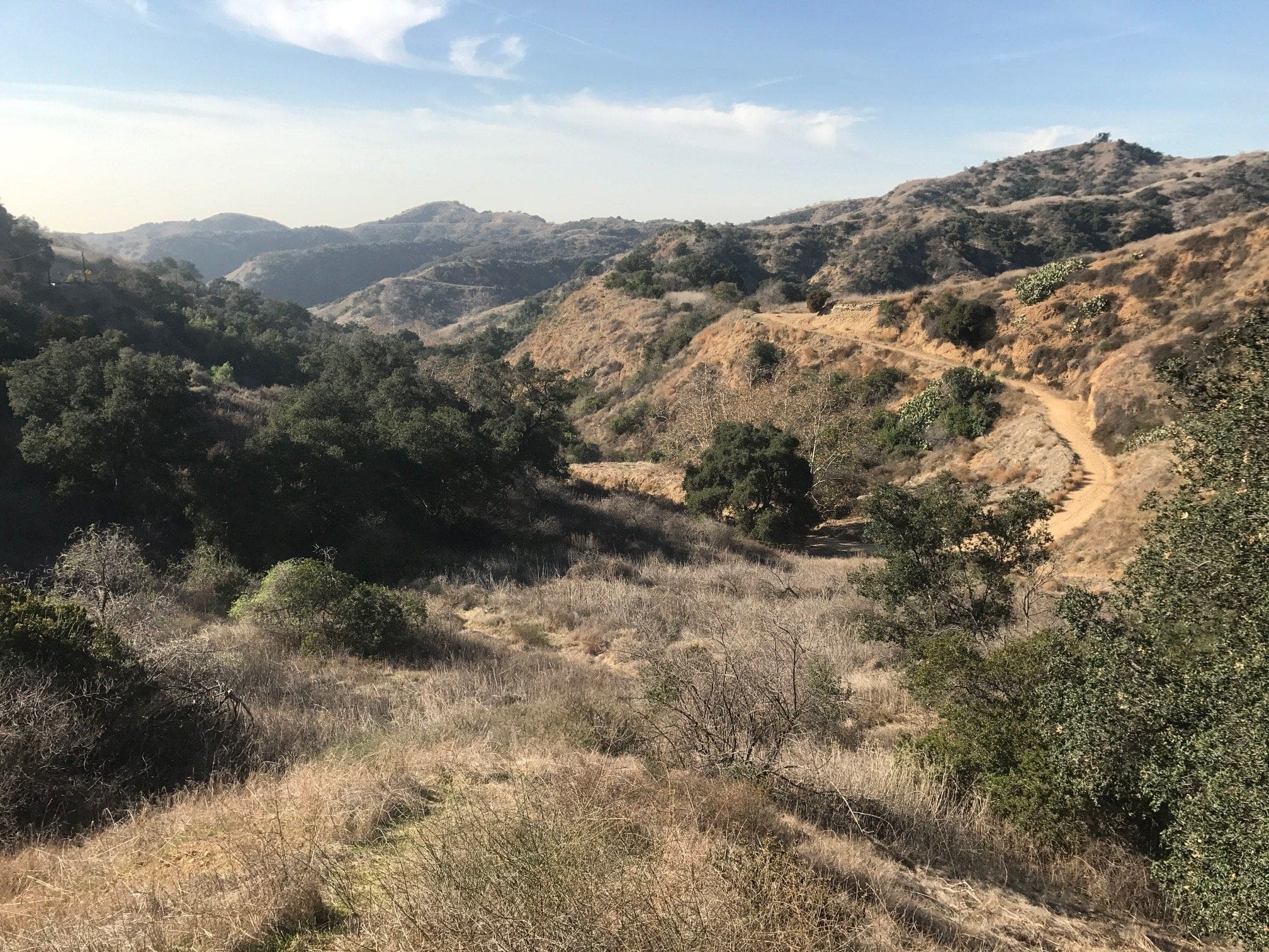
The view beyond the rusted bike. You can see the rest of the Turnbull Canyon Trail within the distance.
Treasure #2: rusted car parts, which includes wheels and a hood of some sorts.
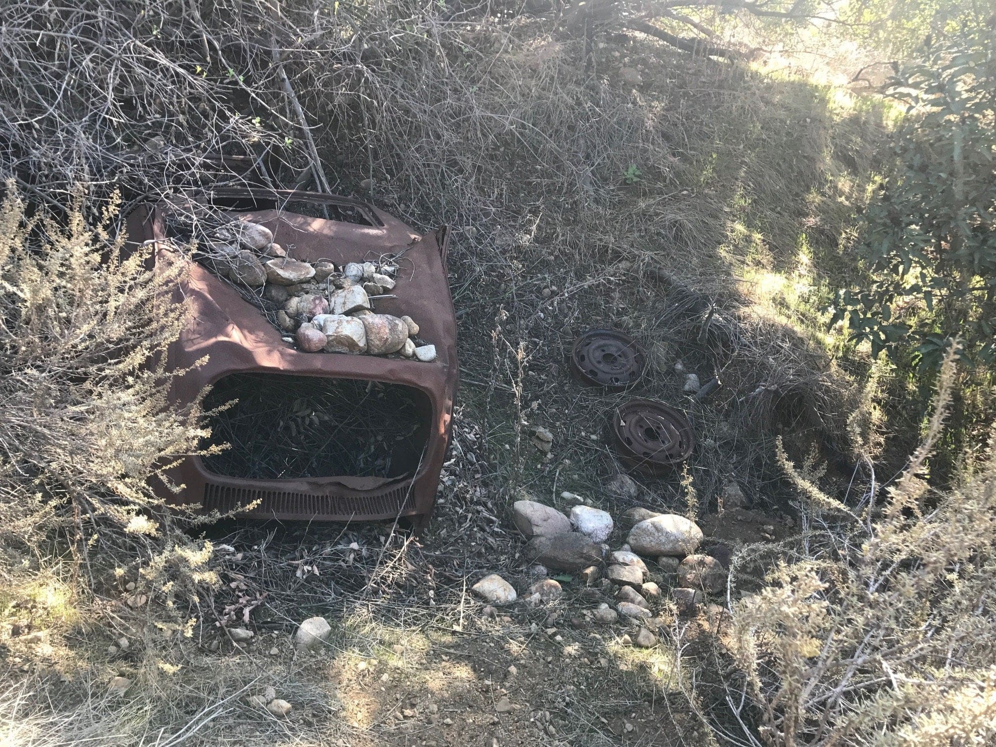
The trail ends here, but you can be overly-ambitious like me and trek up the hill to find more treasure.
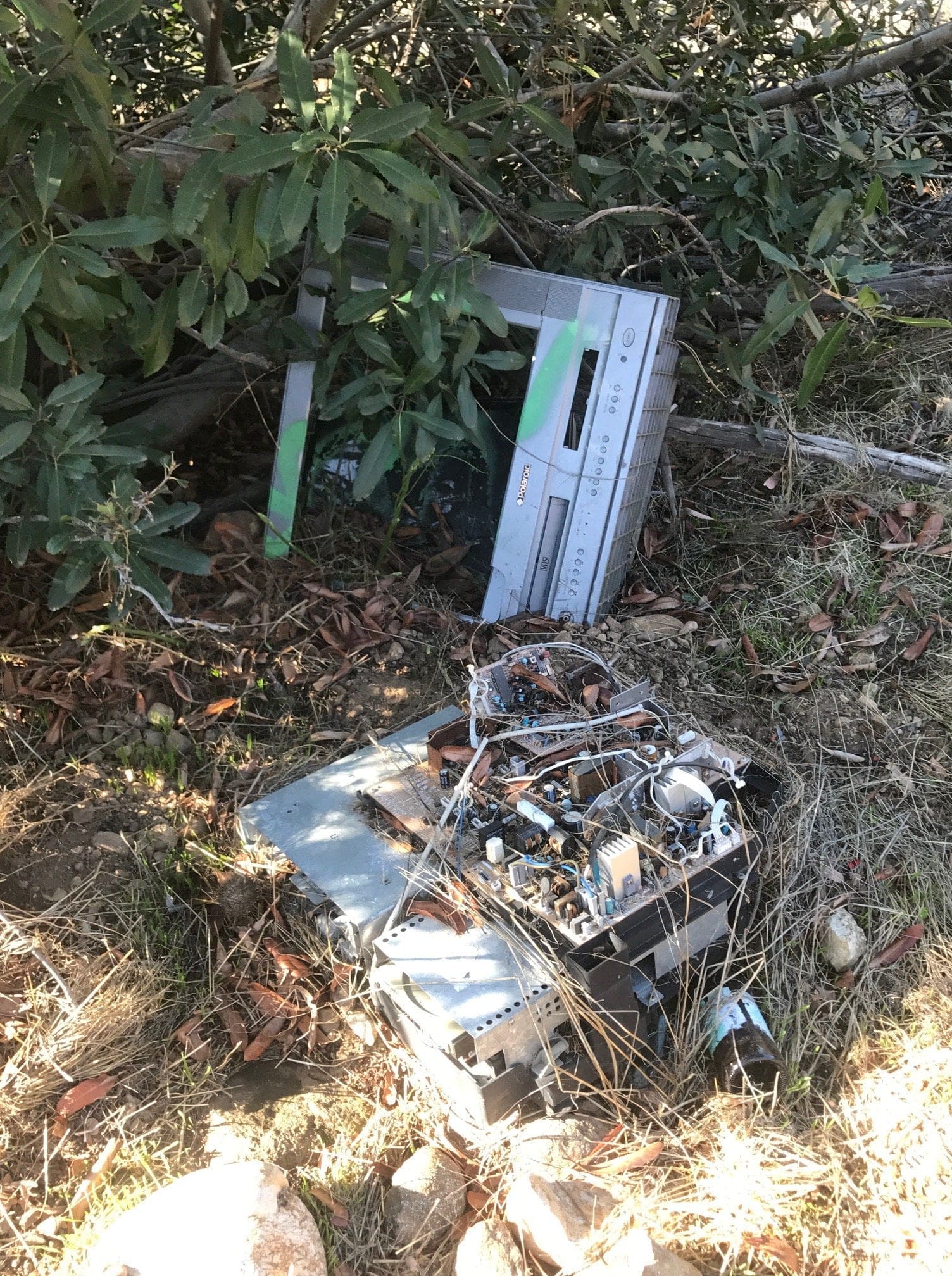
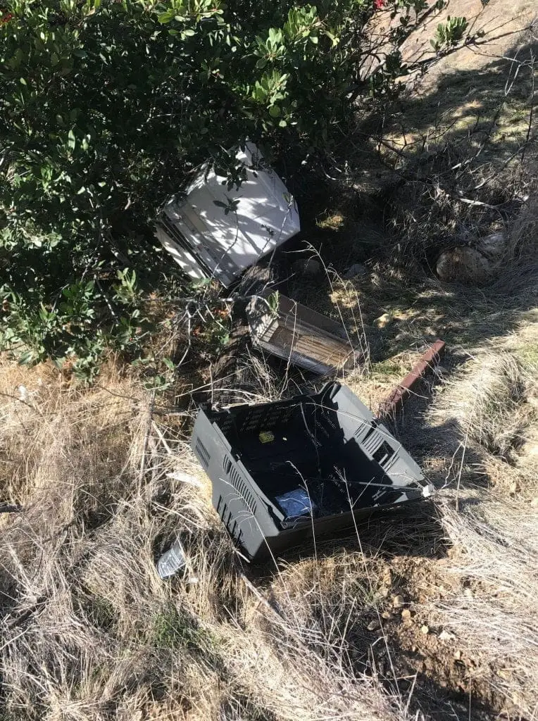
Treasure #3: A disassembled TV. You could have just sold the thing, buddy.
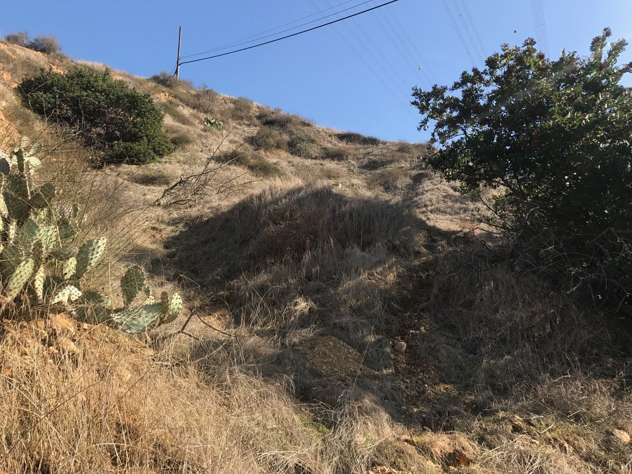
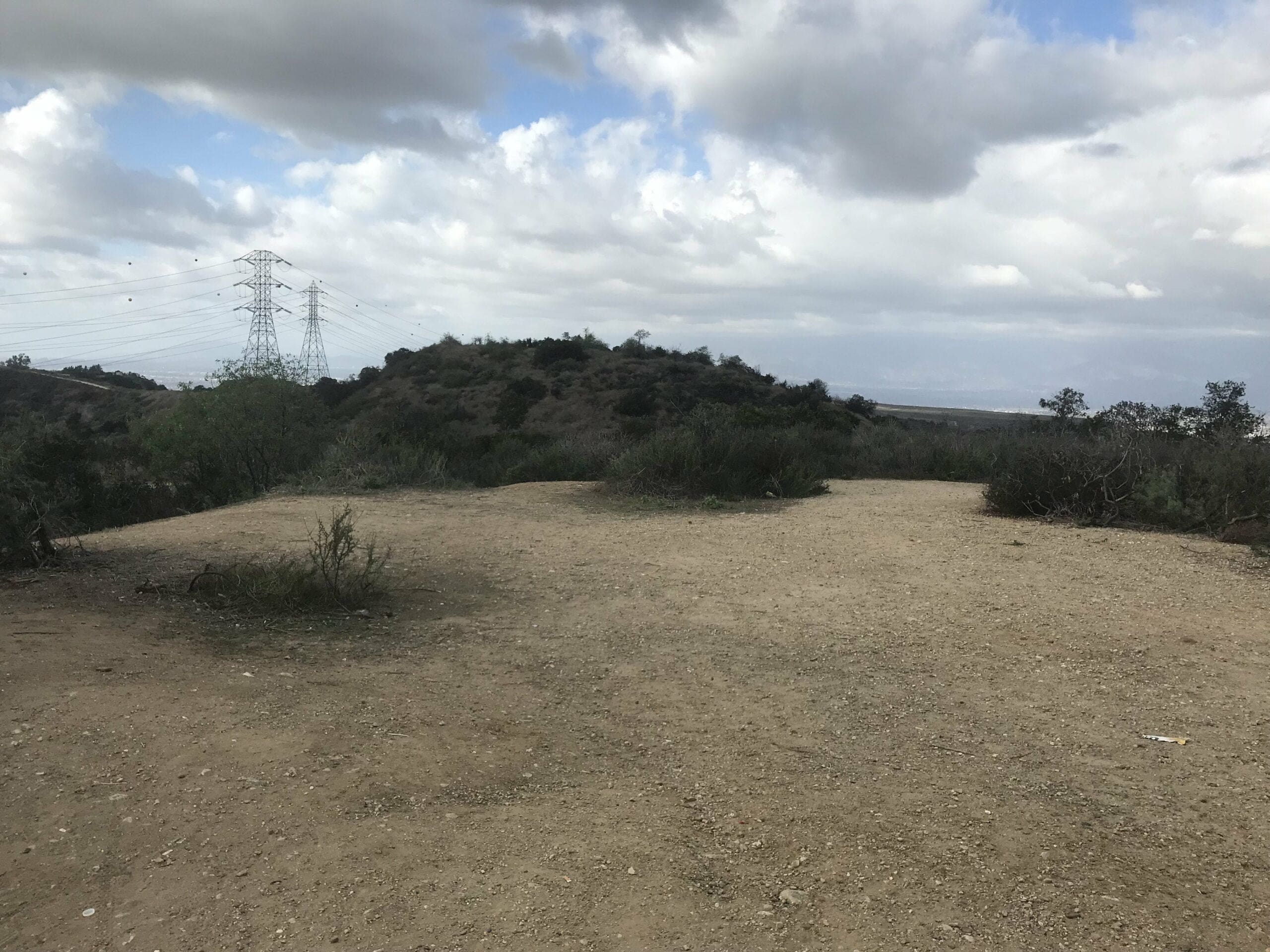
View from the middle of the hill. Overall vibe: Incredibly quiet and serene. You can’t help but feel an overwhelming sense of calm and inner peace.
I turn around to continue my hike up the hill; You can even see the electric towers in the distance.
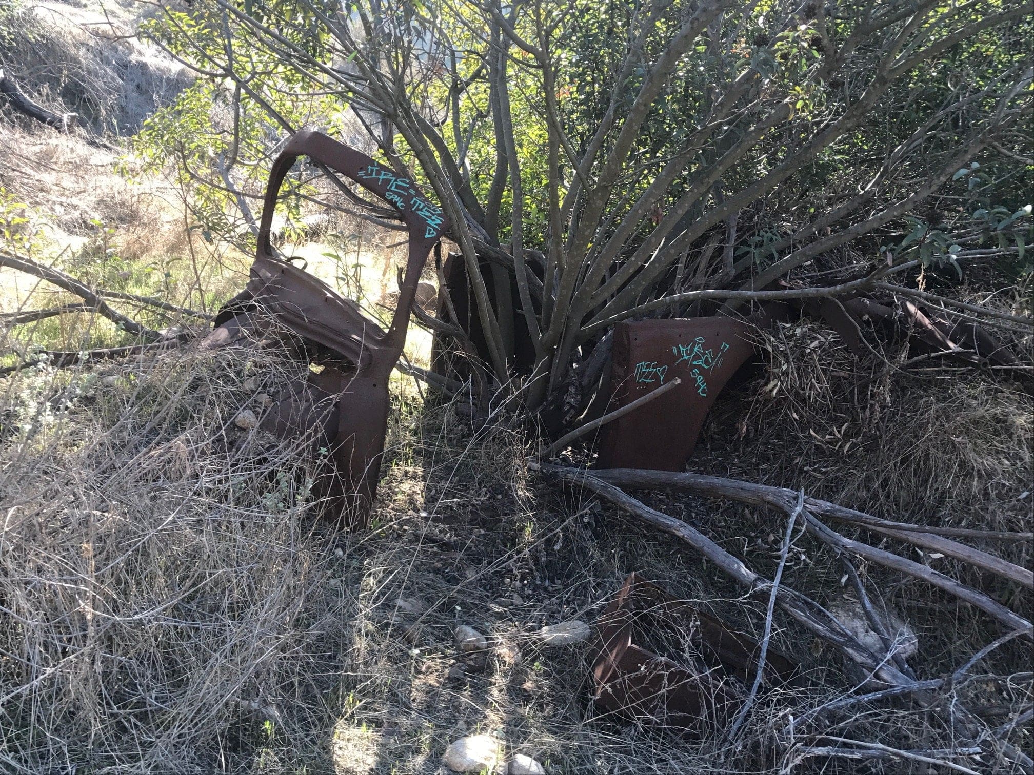
Treasure #4: I don’t even know anymore. What do you think it looks like?
This is where the rest of the trek becomes increasingly difficult. Since this hill is void of any actual trails, you’ll have to use your climbing skills to get to the top.
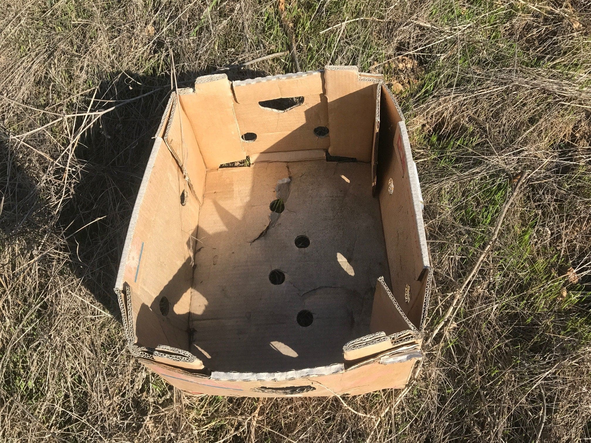
A loot crate in the distance, what could be inside?
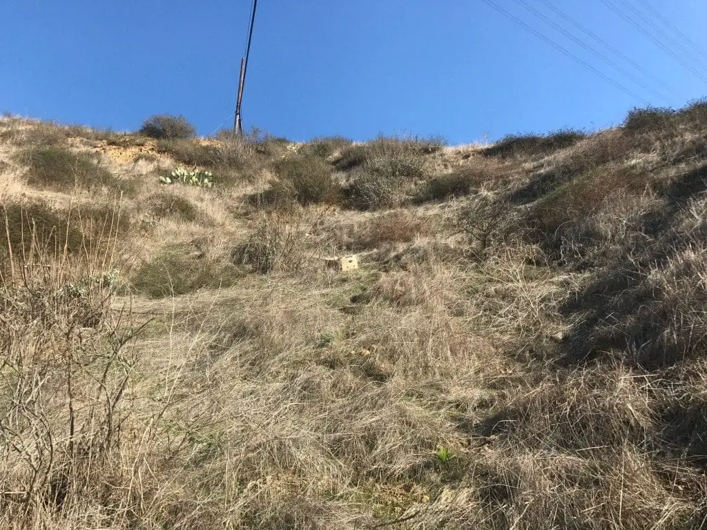
I’ll tell you what’s inside: Disappointment.
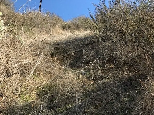
Warning: The hill becomes very steep with a near 90° angle. There are no rocks to grab on to so you’ll have to leverage twigs and grass to pull yourself up.
This became quite difficult since the “rocks” and twigs seemed to be loosely connected to the soil, misleading me to believe I could put my entire weight on them for support.
In other words, anything and everything I grabbed on to for support ended up “falling apart” or snapping away from the soil, causing quite a few near tumbles on my part.
I was almost near the top when I reached a point where I was stuck on an almost 90° angle. Nothing around me could support the average human body weight, so I had to think of a way to bolster myself up.
The wonderful thing about the human brain is what it does in a “panic mode” type of situation. Ingenuity usually comes after the panic, or after the storm settles. This is exactly what happened with me.
I turn to my left to notice a large bush of twigs. I reach over to feel and tug it; It seems to be the only thing “connected” to the soil that can hold my body weight.
I carefully shimmy over to this bush and literally entangle myself in it. By doing this, I was able to climb up through the bush, which was holding my body weight, and on to the final level of the hill.
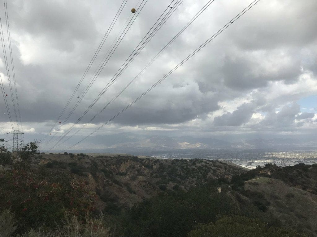
The view from the top, where you’re greeted with electric cables.
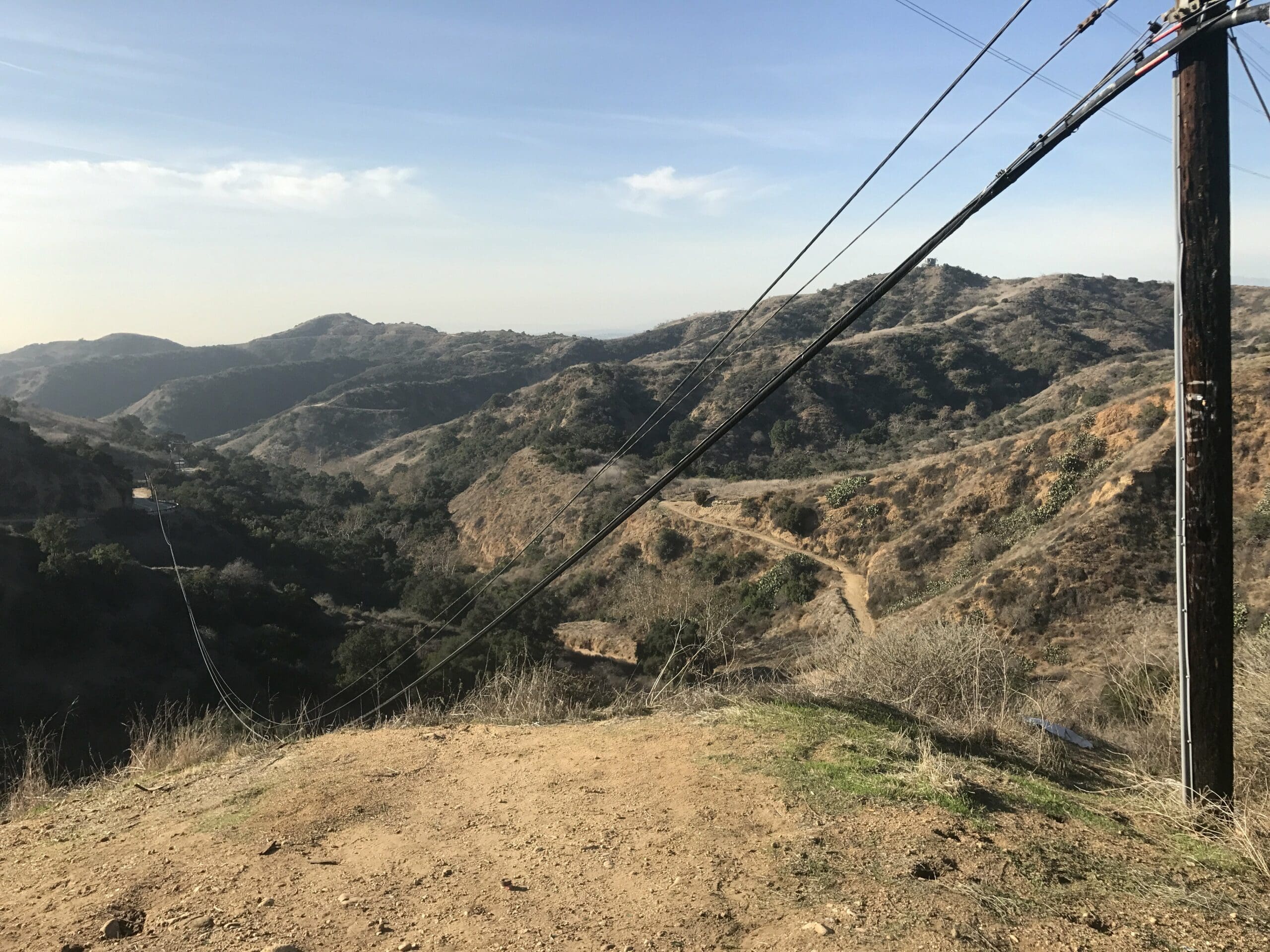
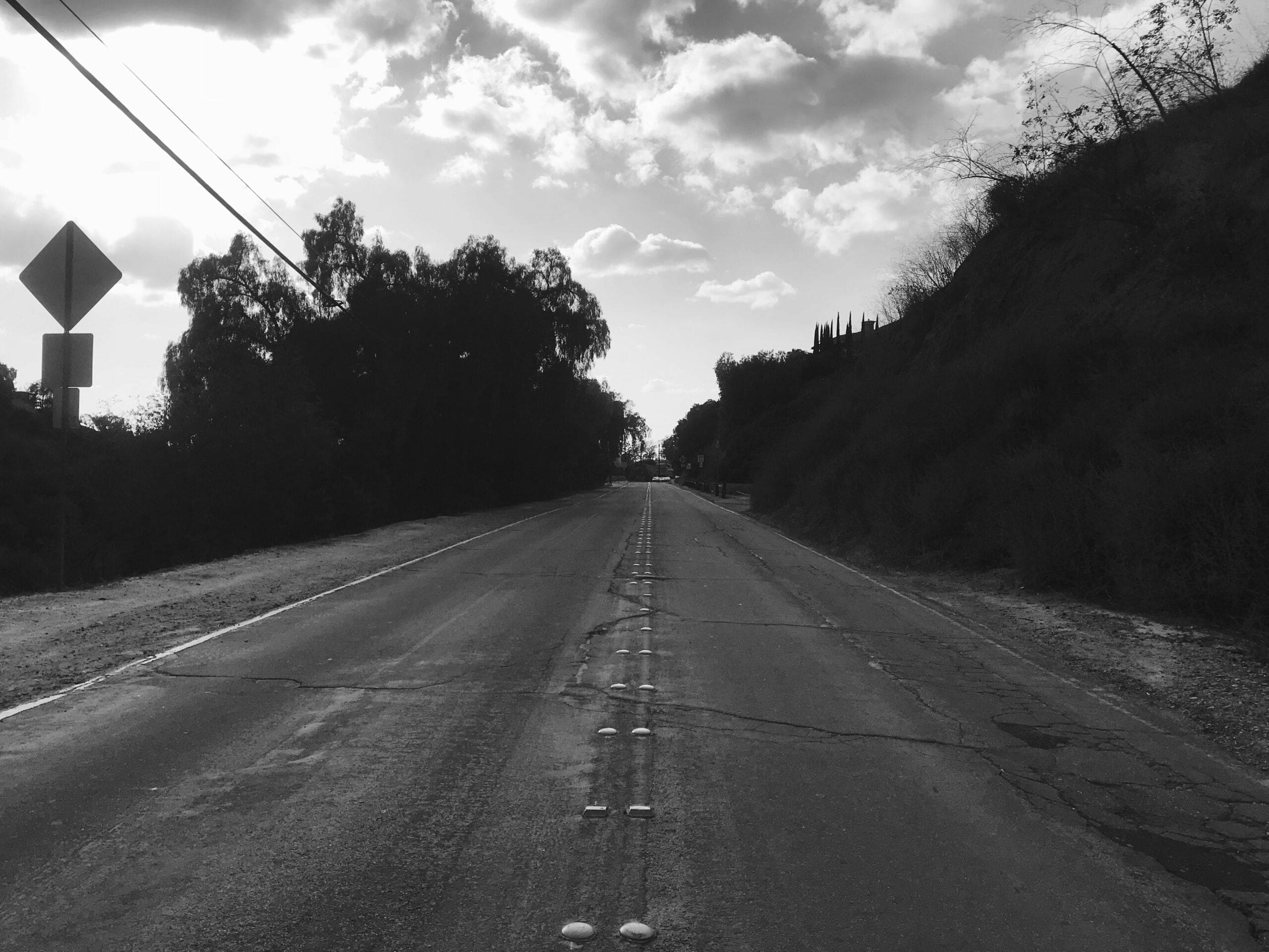
If you keep going straight ahead, you’ll hit a seemingly empty road.
I find a trail to my left that leads directly down to the bottom. You mean to tell me I took the hard way up the hill this whole time?
Sure enough, the trail connects to the narrow trail that led to the rusted bike.
I head back up towards the main trailhead, curious to see where the ascension leads to.
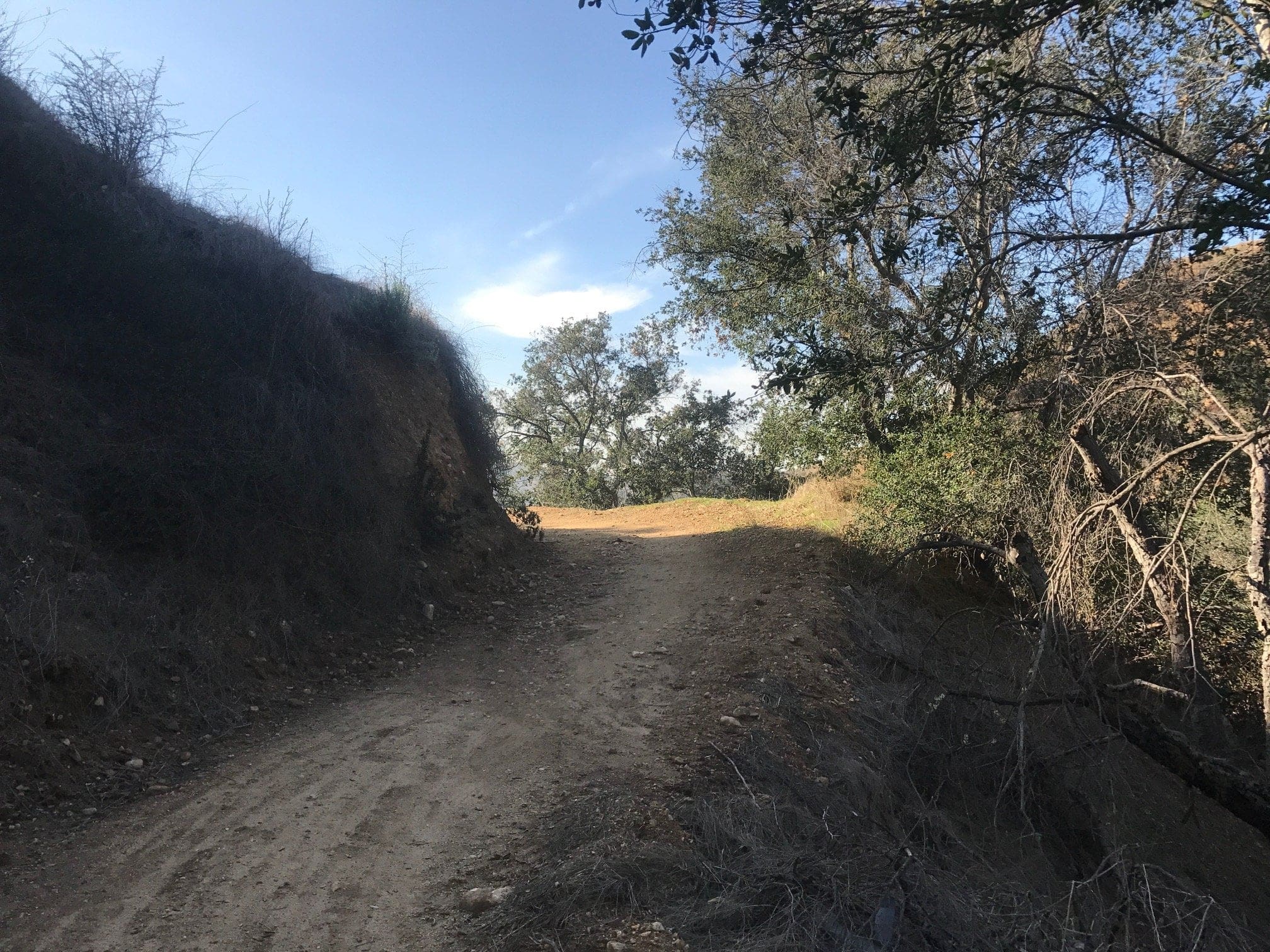
A couple of switchbacks within a steady incline; nothing too crazy.
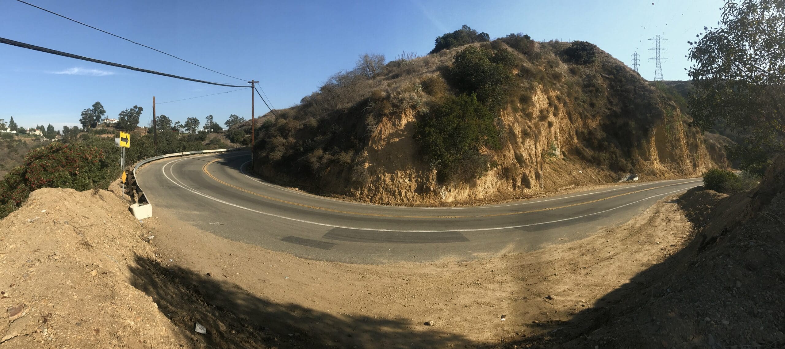
About a quarter of a mile up, the trail ends up at the same road that I stumbled upon at the top of the previous climb.
In other words, there’s an easy and a hard way to this road. And I took both ways because why not?
To the electric towers we go!
Hike to the Electric Towers
I make my way back down through the narrow trail and to the second fork in the trailhead, the one that leads up to the electric towers.
The hike is on a moderately steep incline, but shouldn’t pose too much trouble for beginner hikers.
This part of the trail lasts about a quarter of a mile with some faint “humming” of the electric cables above.
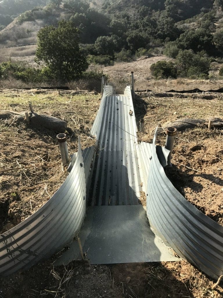
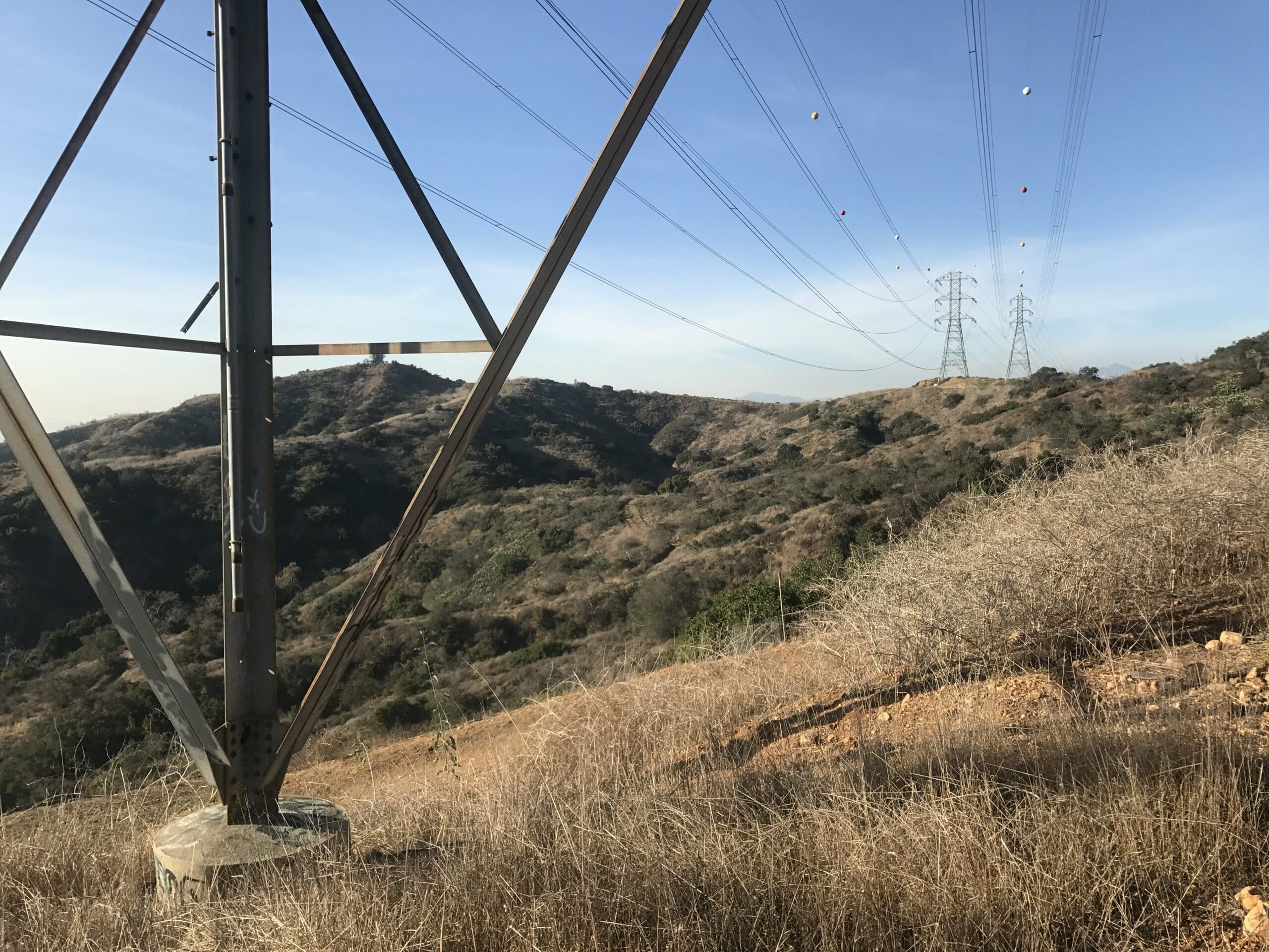
At long last, I’ve finally made it to what this trail is known for!
A metal slide that is casually off to the side (just kidding, don’t actually slide down this).
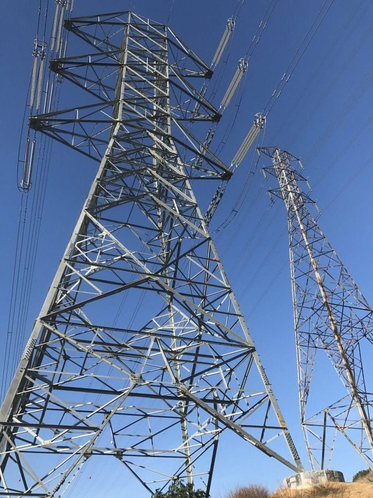
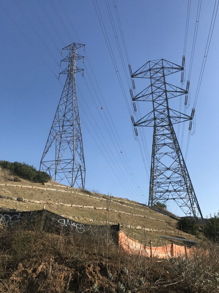
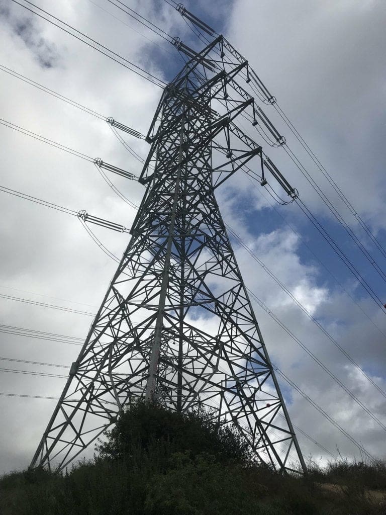
The view from underneath one of the towers.
More towers in the distance.
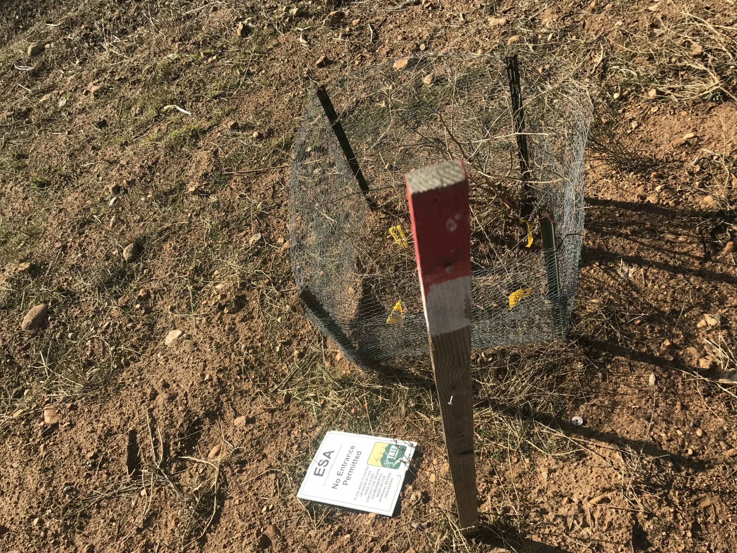
Whoops. A fallen sign that reads “ESA: No Entrance Permitted.” Oh well, too late for that.
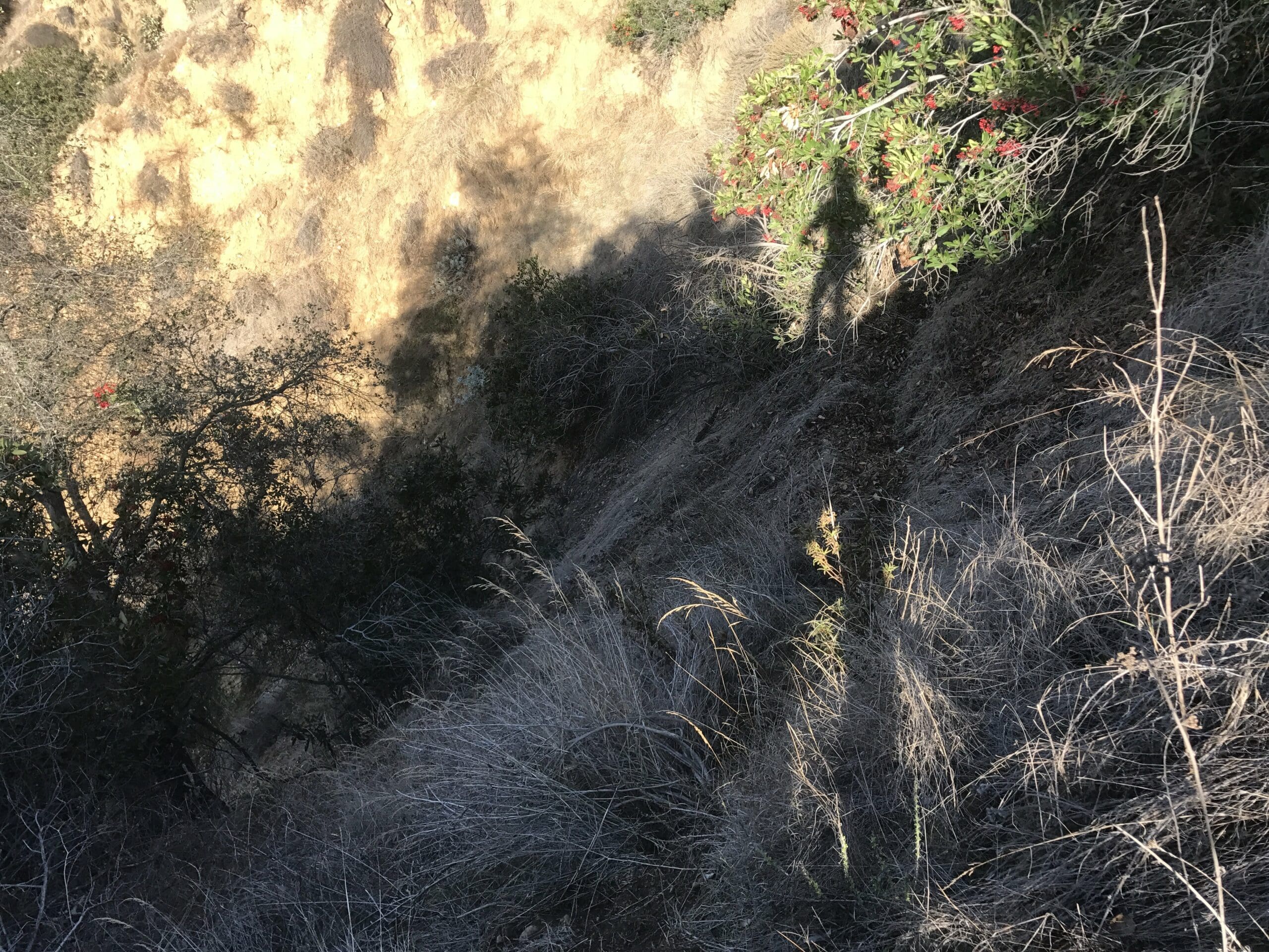
To the left of the towers lies a narrow trail that leads to a dead end.
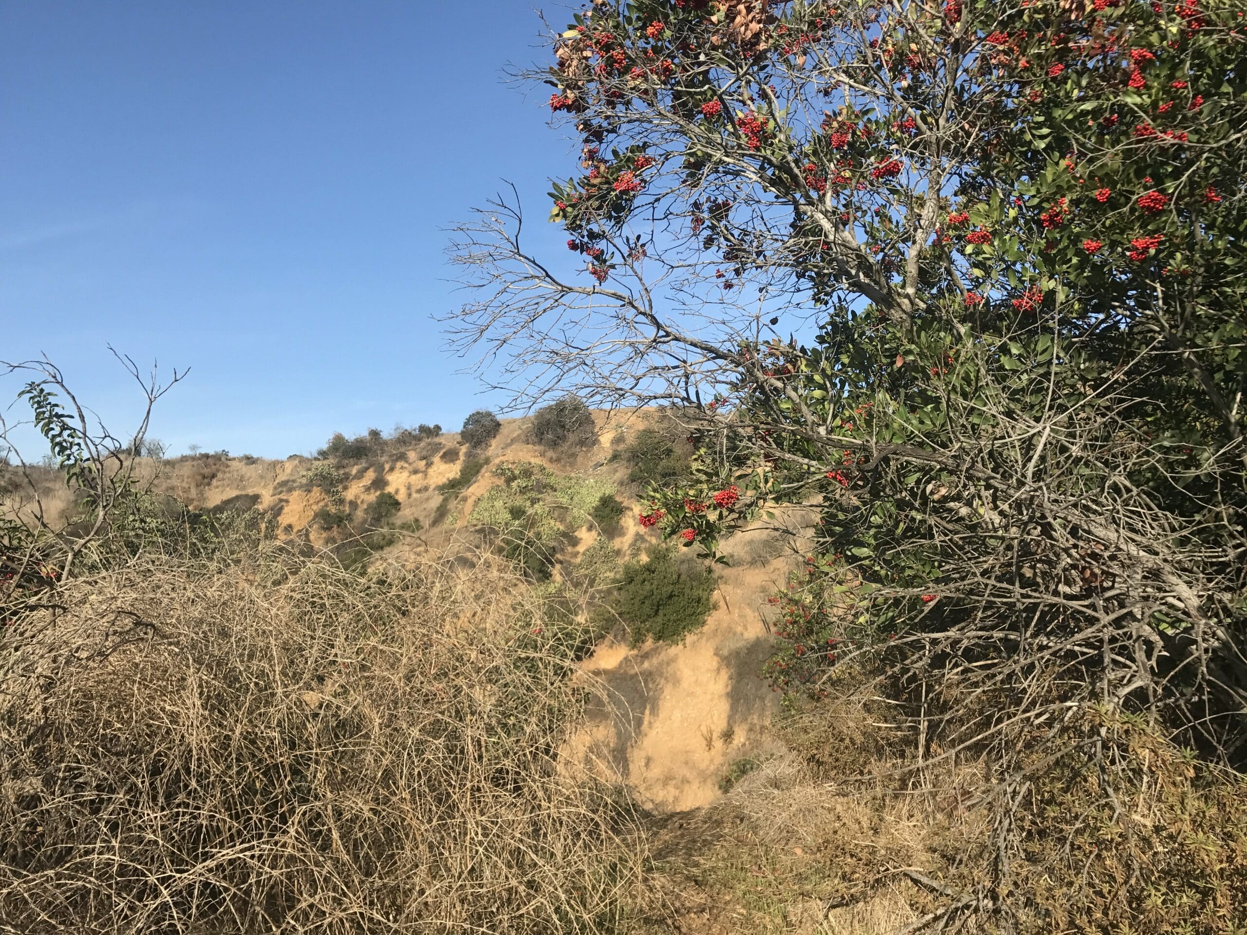
A steep hill near the end of the narrow trail, with a shadow of me in the distance.
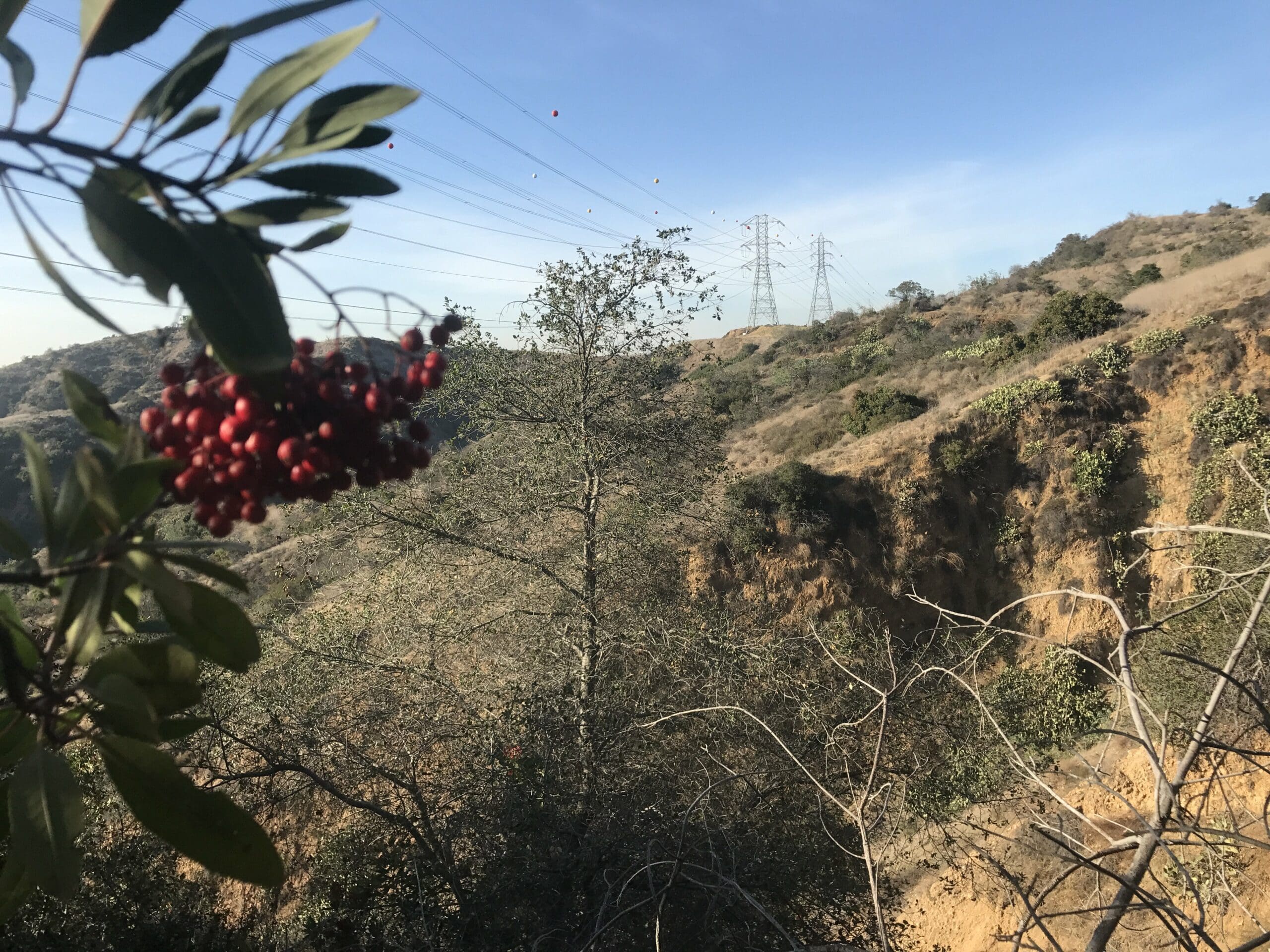
Oh look, berries! These are safe to eat, right?
I turn back around to head home for the day, but I revisit this canyon at a later date to cover part 2: the water tower hike!
The Water Tower Hike
This hike begins at the start of the Sumac Trail, which is forked to the left of the Turnbull Canyon trail.
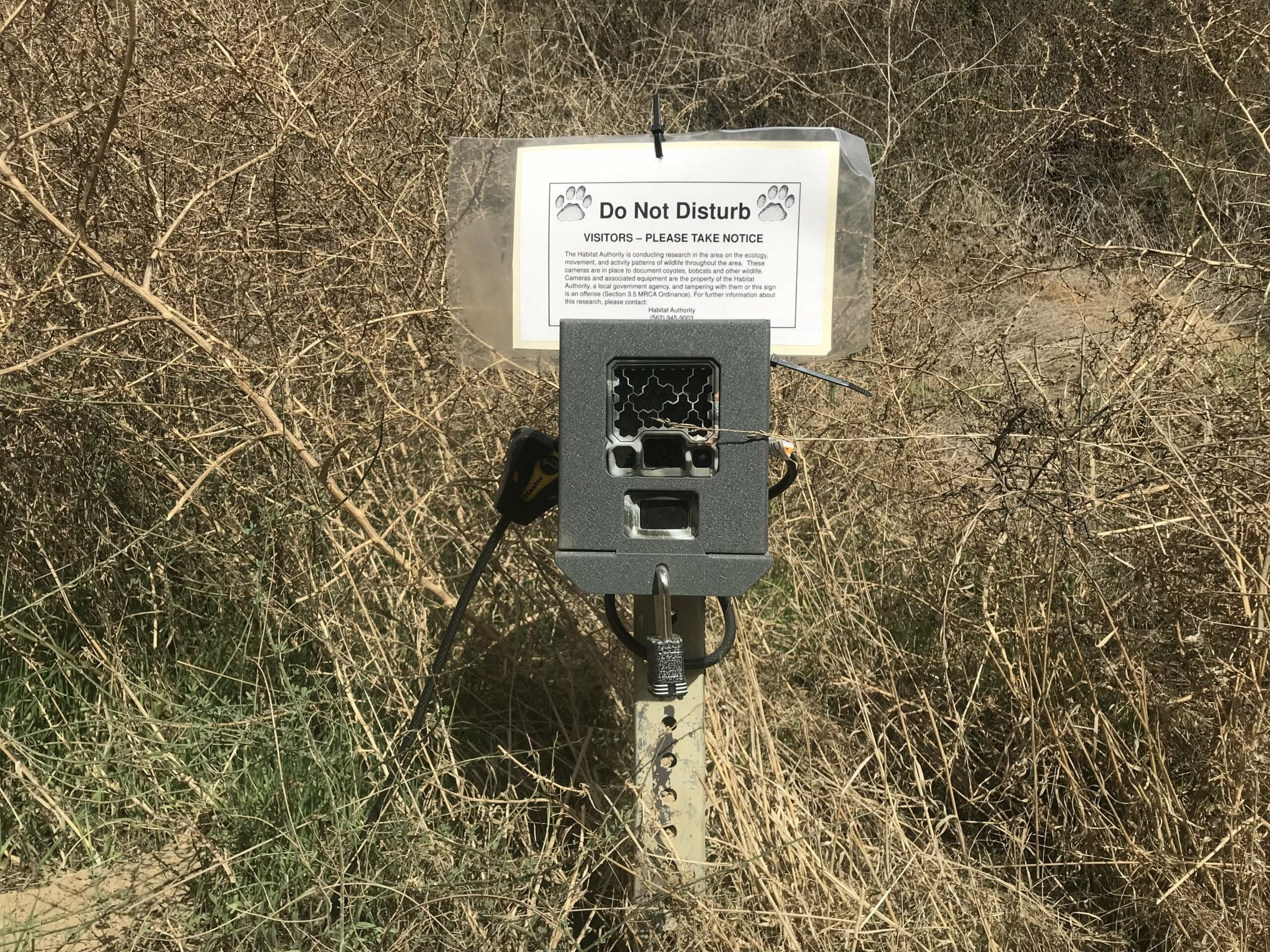
I quickly come across a camera that apparently documents coyotes, bobcats, and other wildlife. I wonder if any paranormal activity has been documented as well?
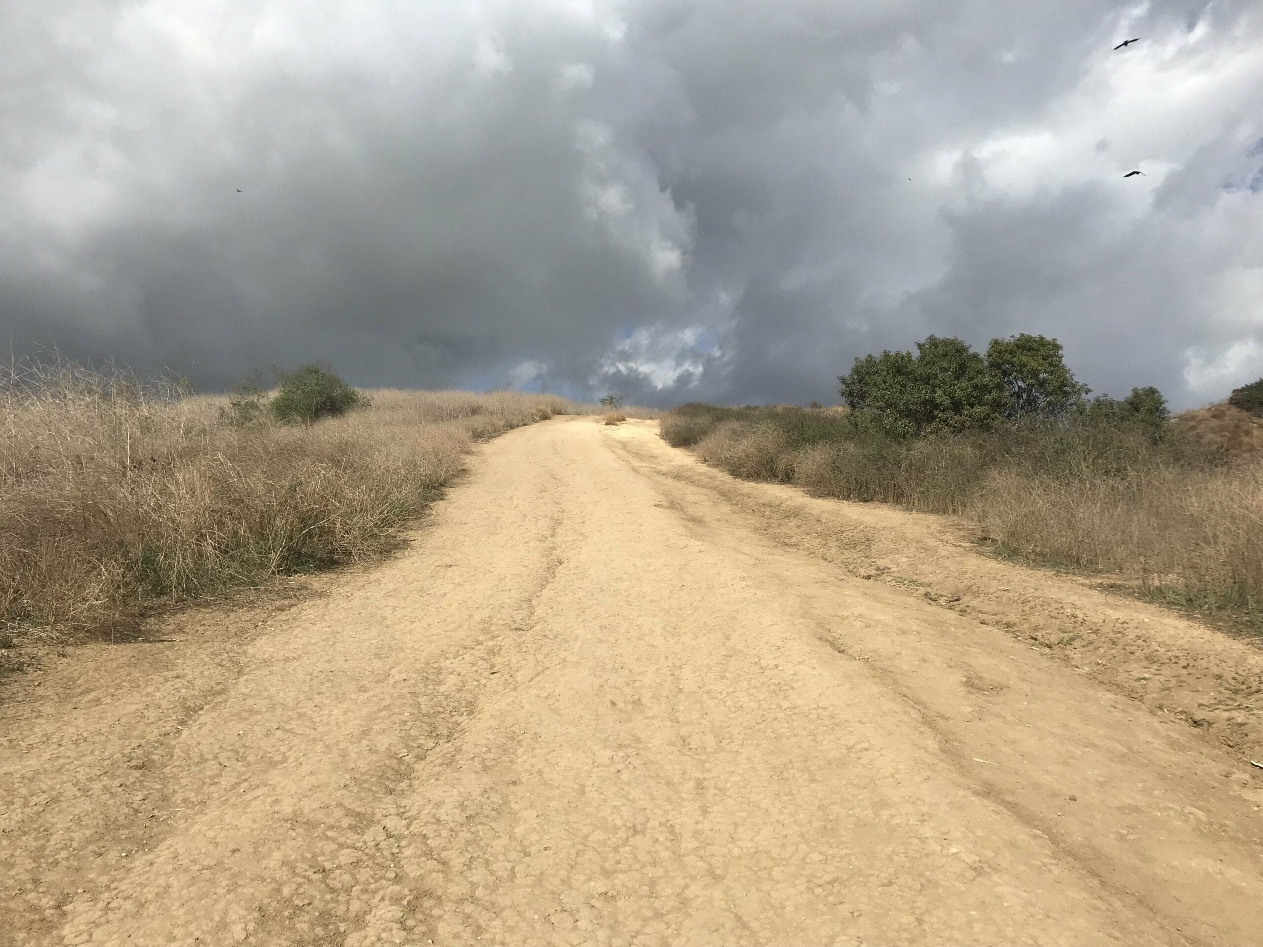
The Sumac trail starts off on a flat surface before quickly ascending up for the duration of the hike.
Difficulty? Moderate, just like the hike to the electric towers.
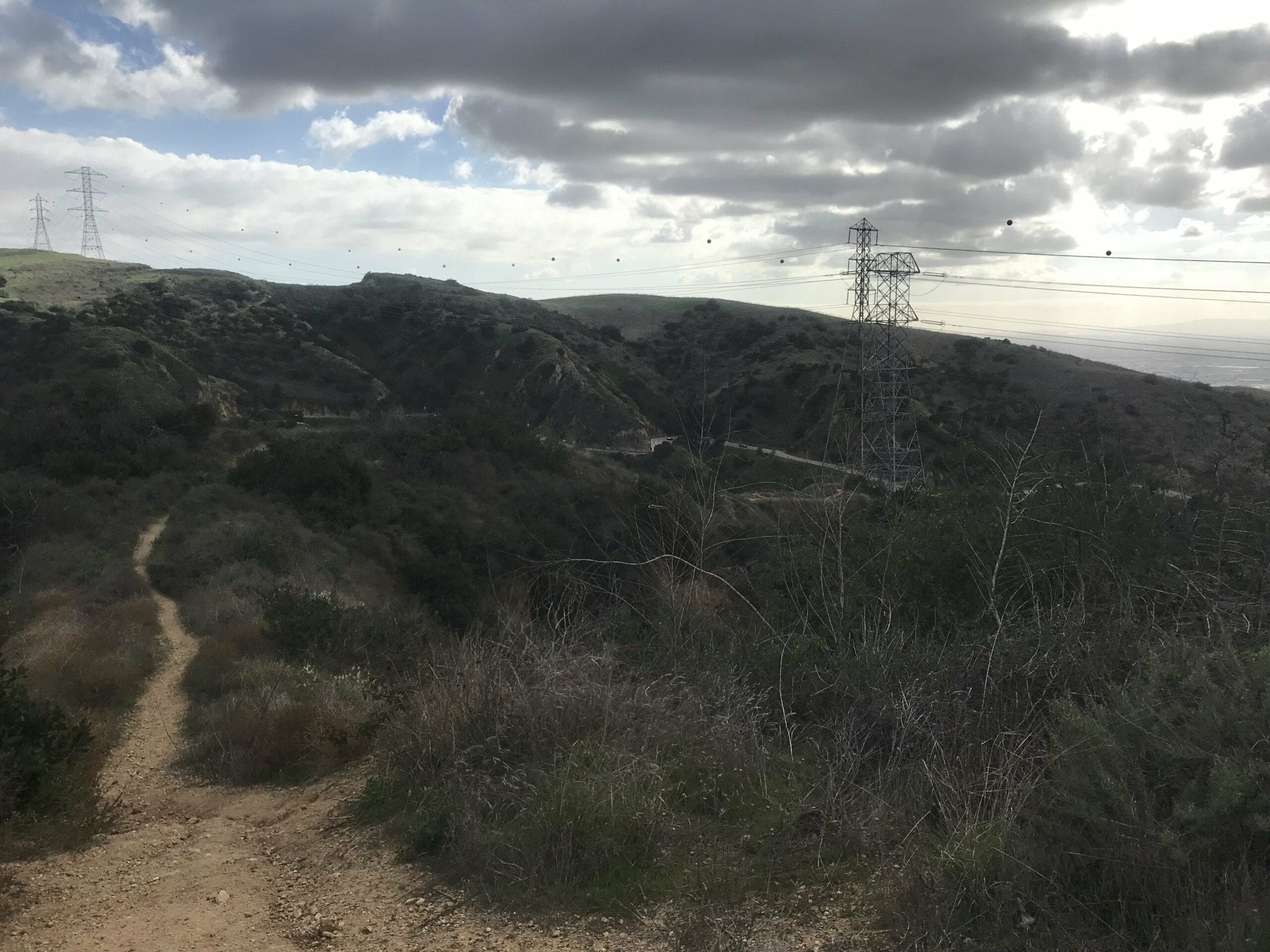
In fact, you can see the very electric towers I was at before from a distance.
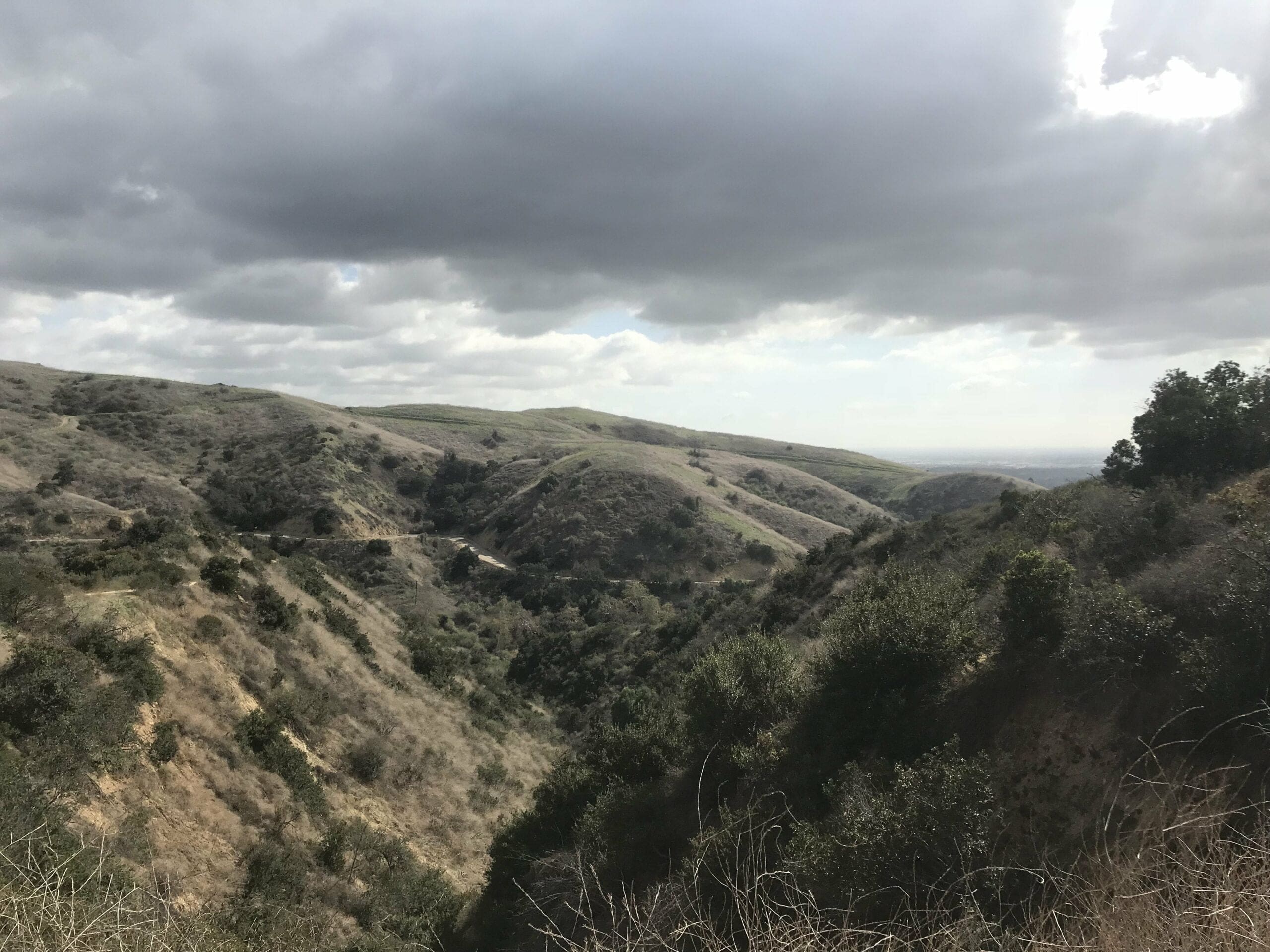
A vantage point of the beginning of Turnbull Canyon, as well as the road that leads up to the top of the hill that I previously climbed (on an almost 90° angle).
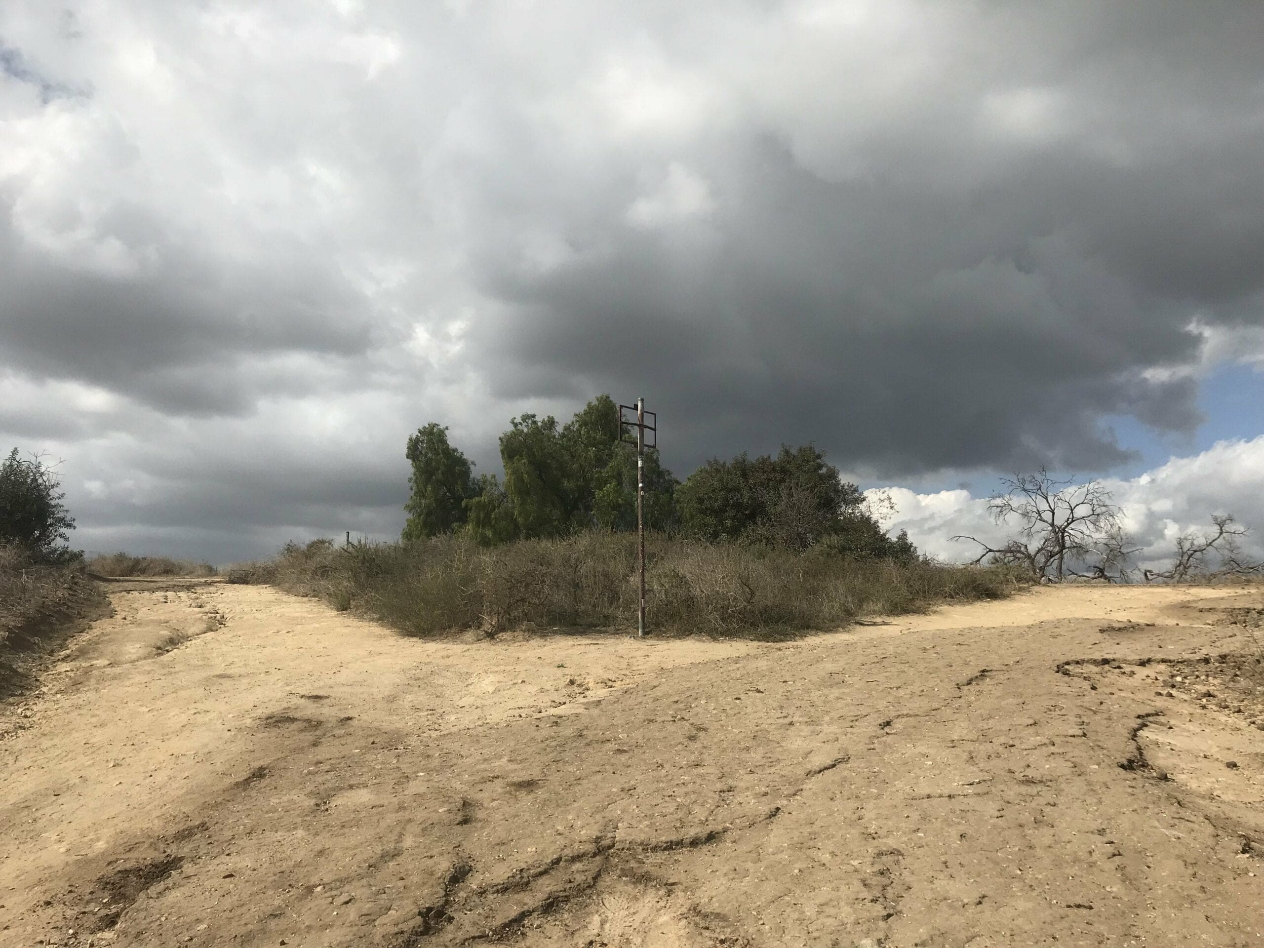
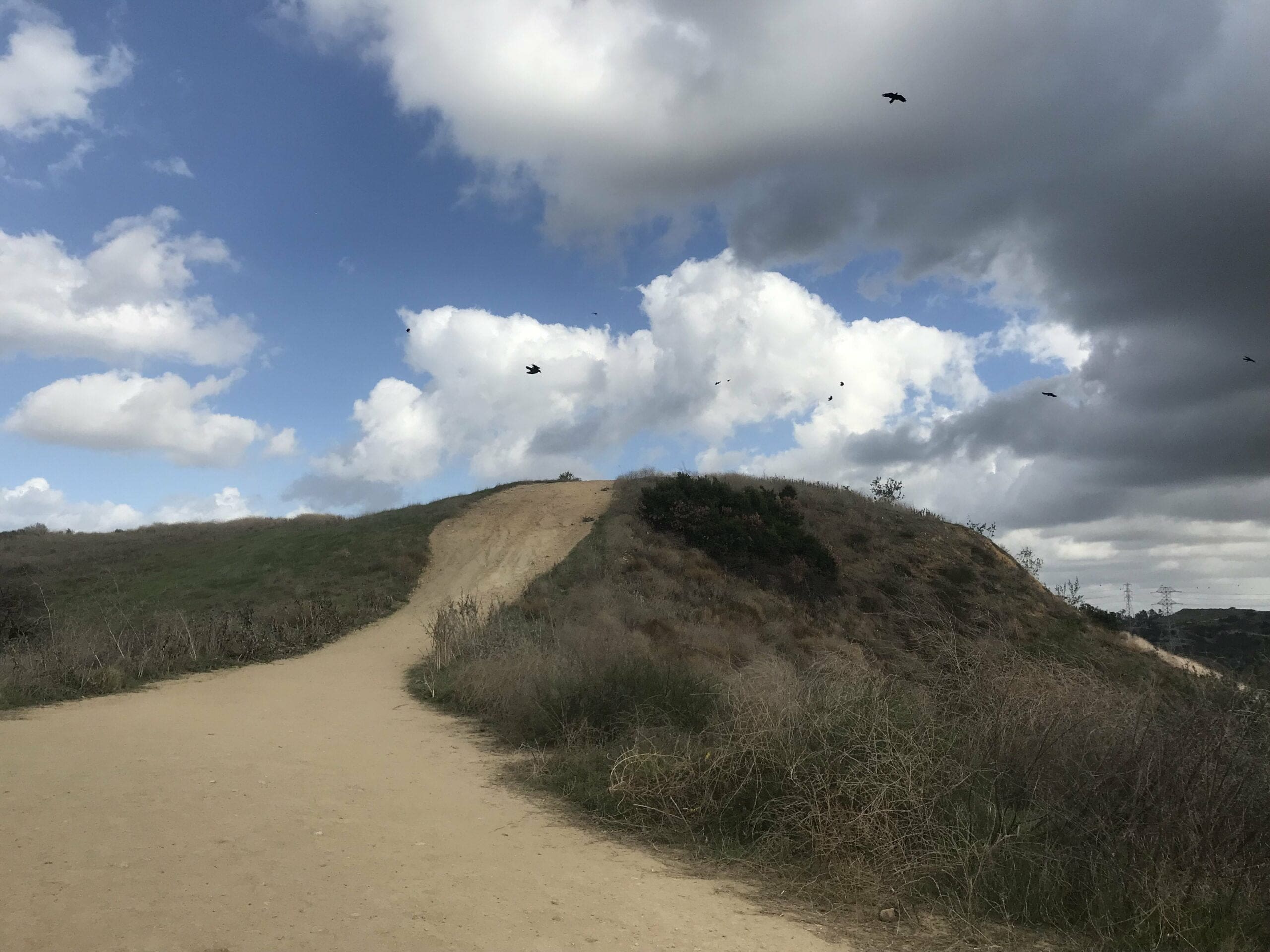
A mini hill straight ahead that loops back down to the main trailhead.
About a quarter of a mile in, where the trailhead starts to flatten.
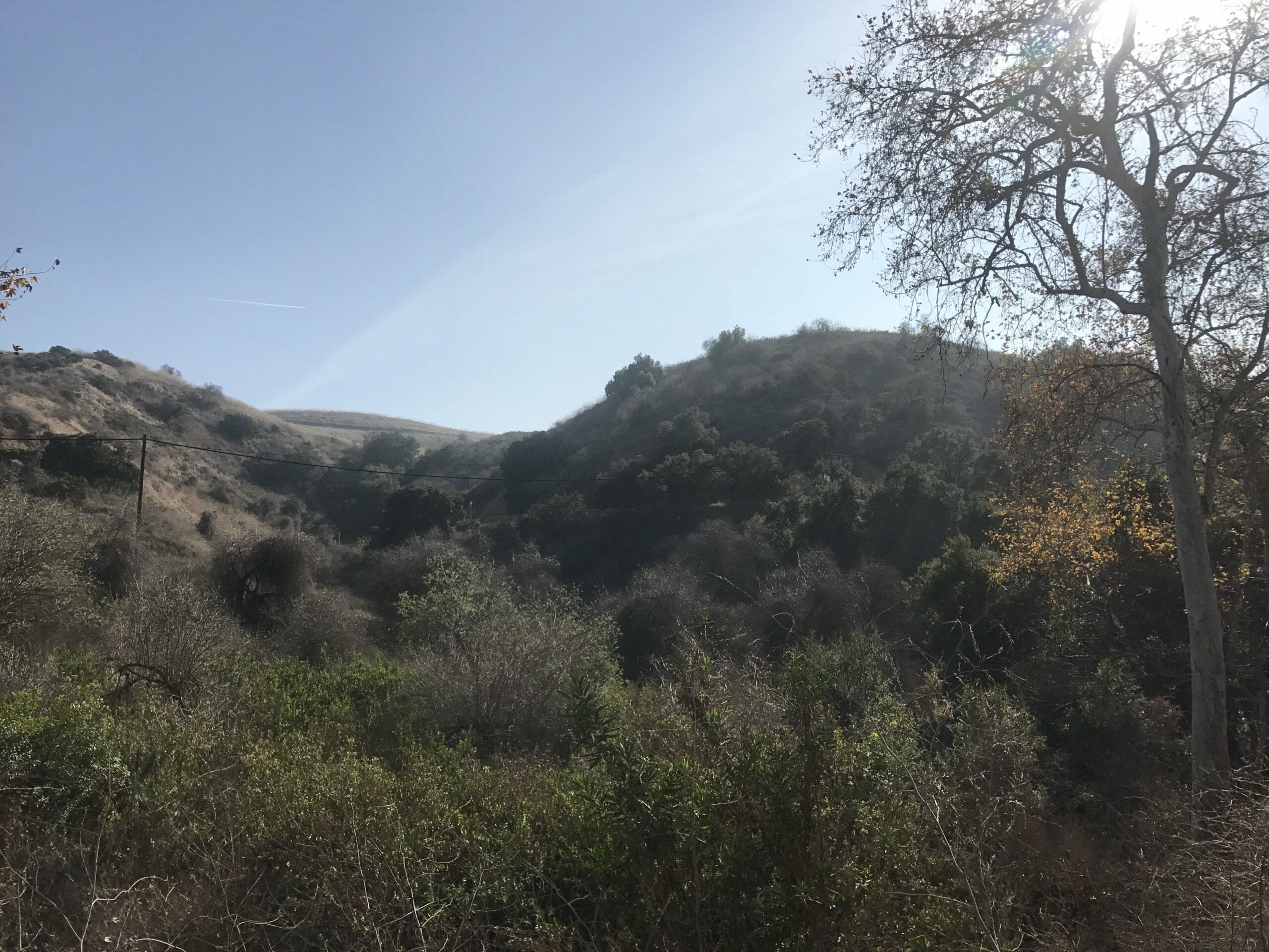
View of more rolling hills of Uptown Whittier.
I continue up the path (which ascends slightly) to reach a fork in the road.
This is now the beginning of another canyon of the Puente Hills Preserve: Hellman Park, which directly connects to both Turnbull Canyon and Sycamore Canyon.
Both forks in the road are part of the Rattlesnake Trail (and yes, beware of rattlesnakes).
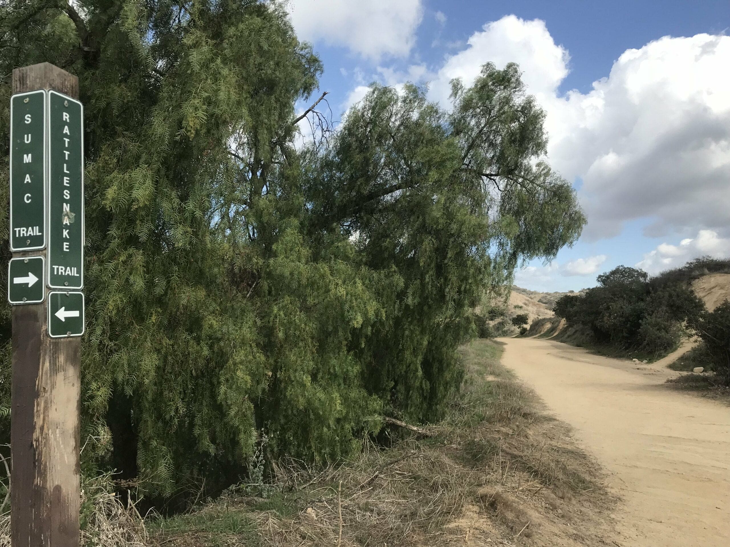
If you choose the leftmost fork, you’ll hike through the hilly ups and downs of the Rattlesnake Trail, while the right fork leads to the water tower.
I, of course, choose the right fork.
Luckily, this part of the trail is relatively short, so it should only take about 5 minutes to get to the water tower from this point.
Short? Yes.
Will it leave you slightly out of breath? Also yes.
There are 3 steep (but quick) ascensions to climb through before reaching the water tower, so beginner hikers beware.
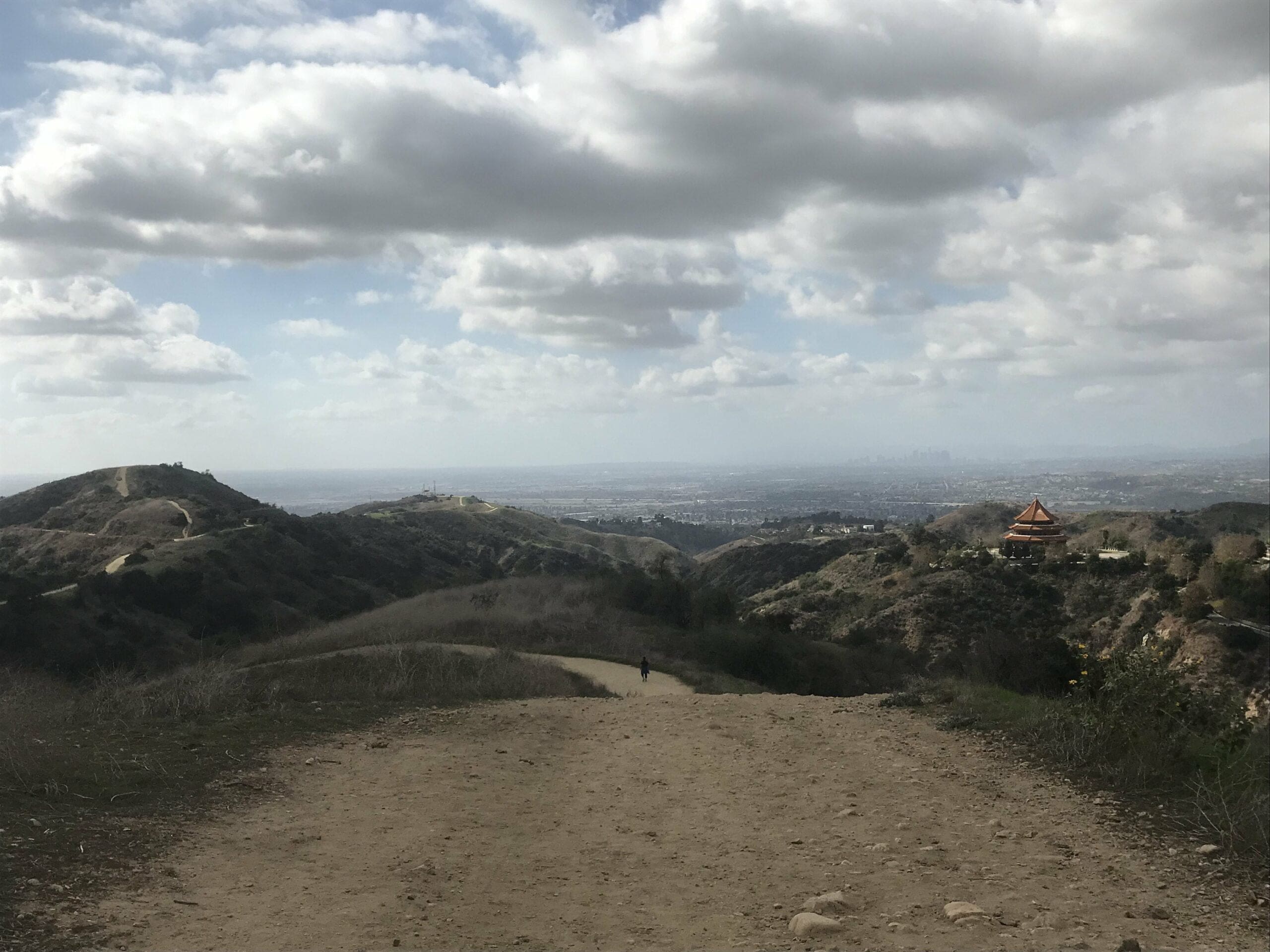
The view from behind; you can see the rest of the Rattlesnake Trail and a Buddhist temple in the distance.
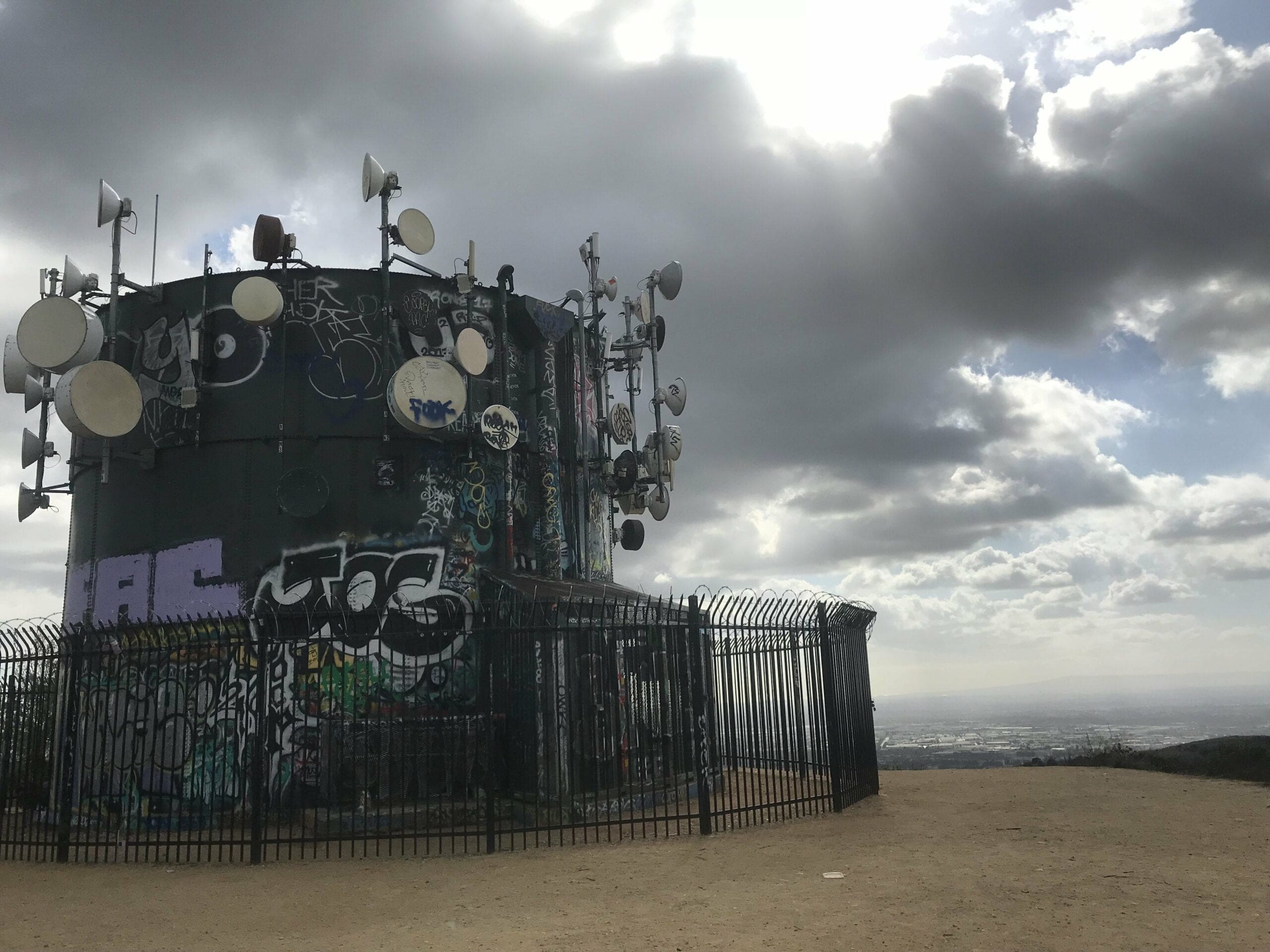
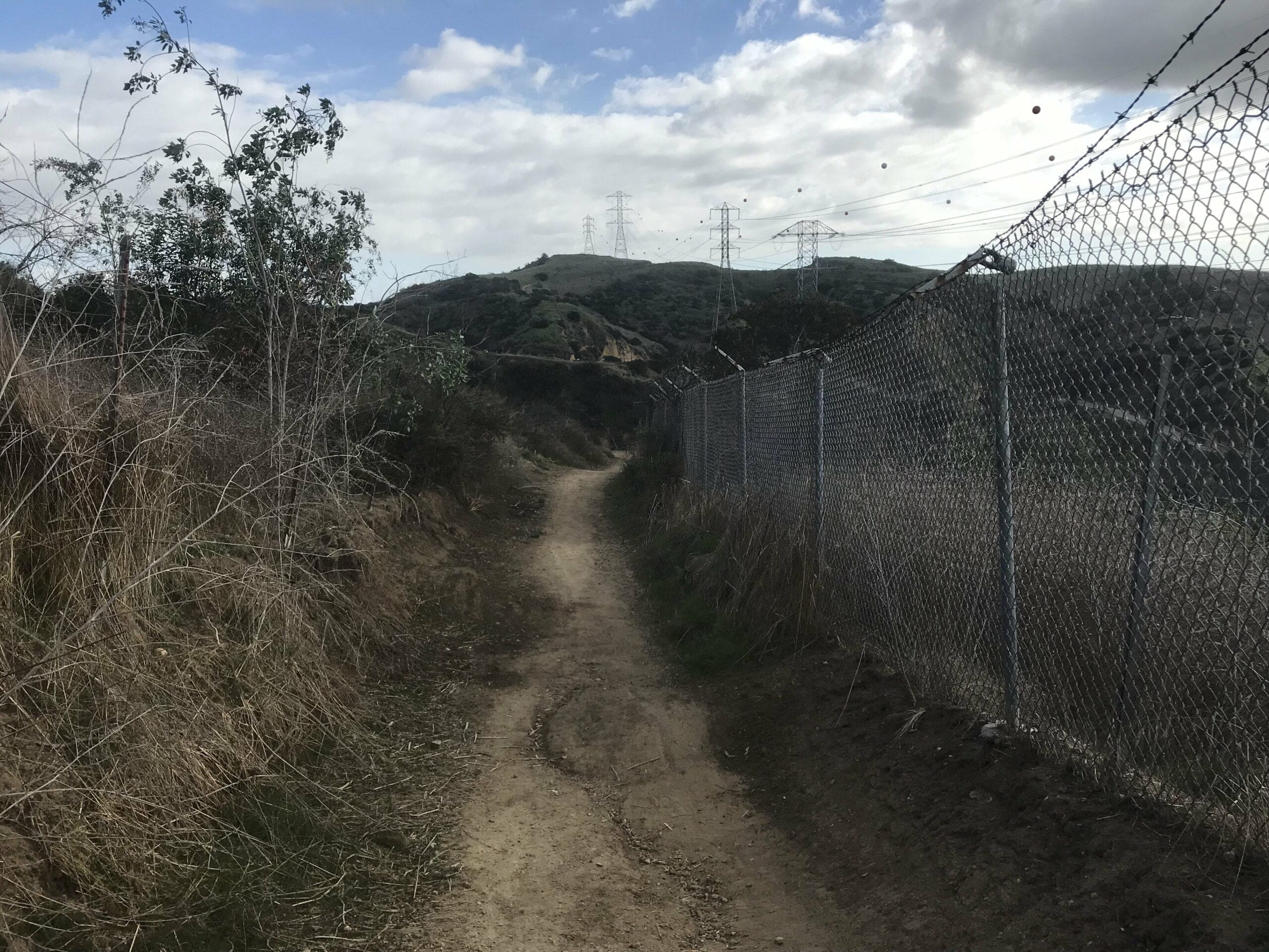
I finally reach the water tower that appears to be fenced off around the perimeter with barbed wire.
Turnbull Canyon Water Towers
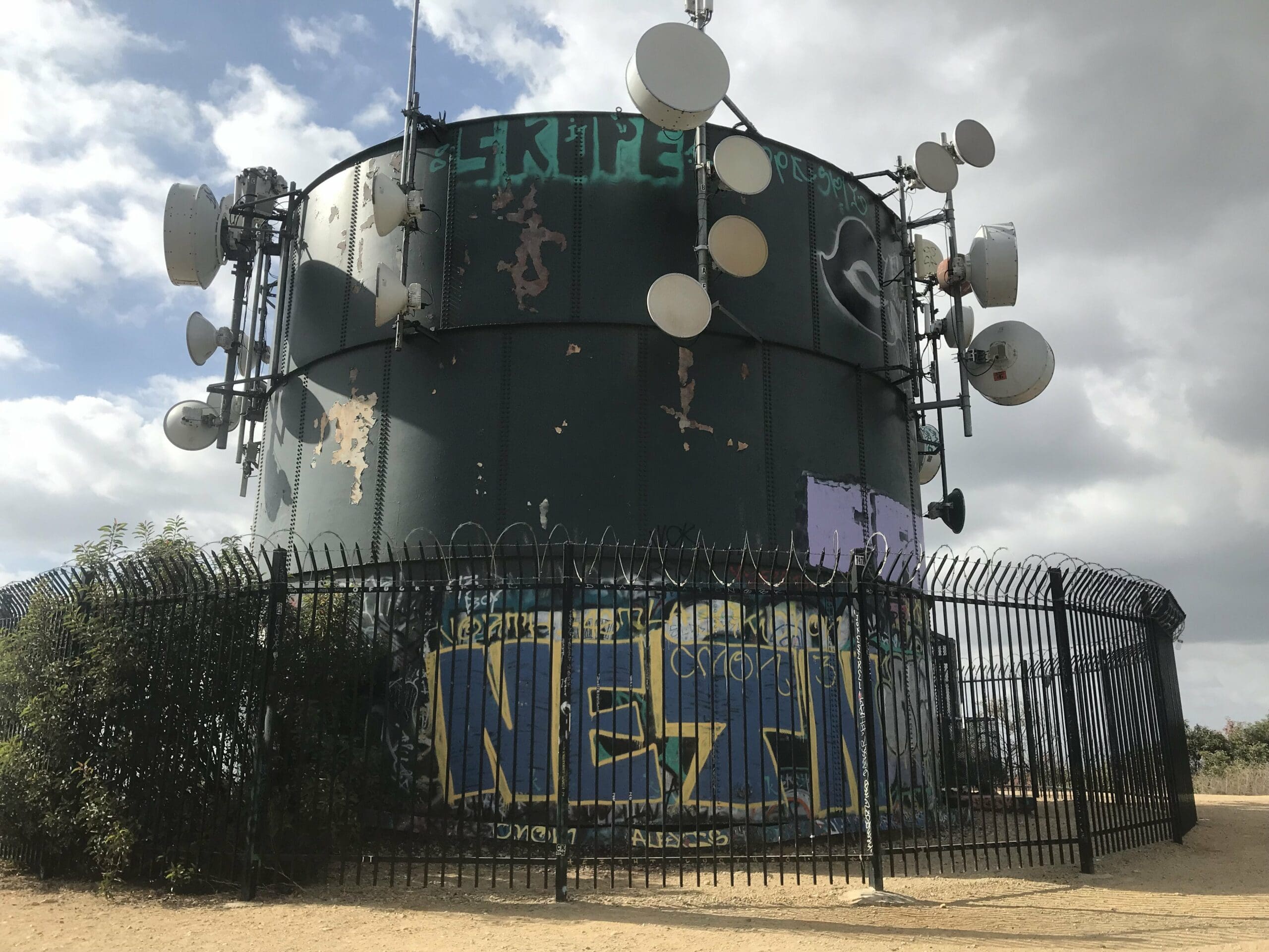
You’ll notice quite a bit of graffiti on the tower, which is probably one of the reasons as to why it’s so guarded.
You can either head back the way you came from or choose a route straight ahead that loops back around to the electric towers. I choose the latter out of sheer curiosity.
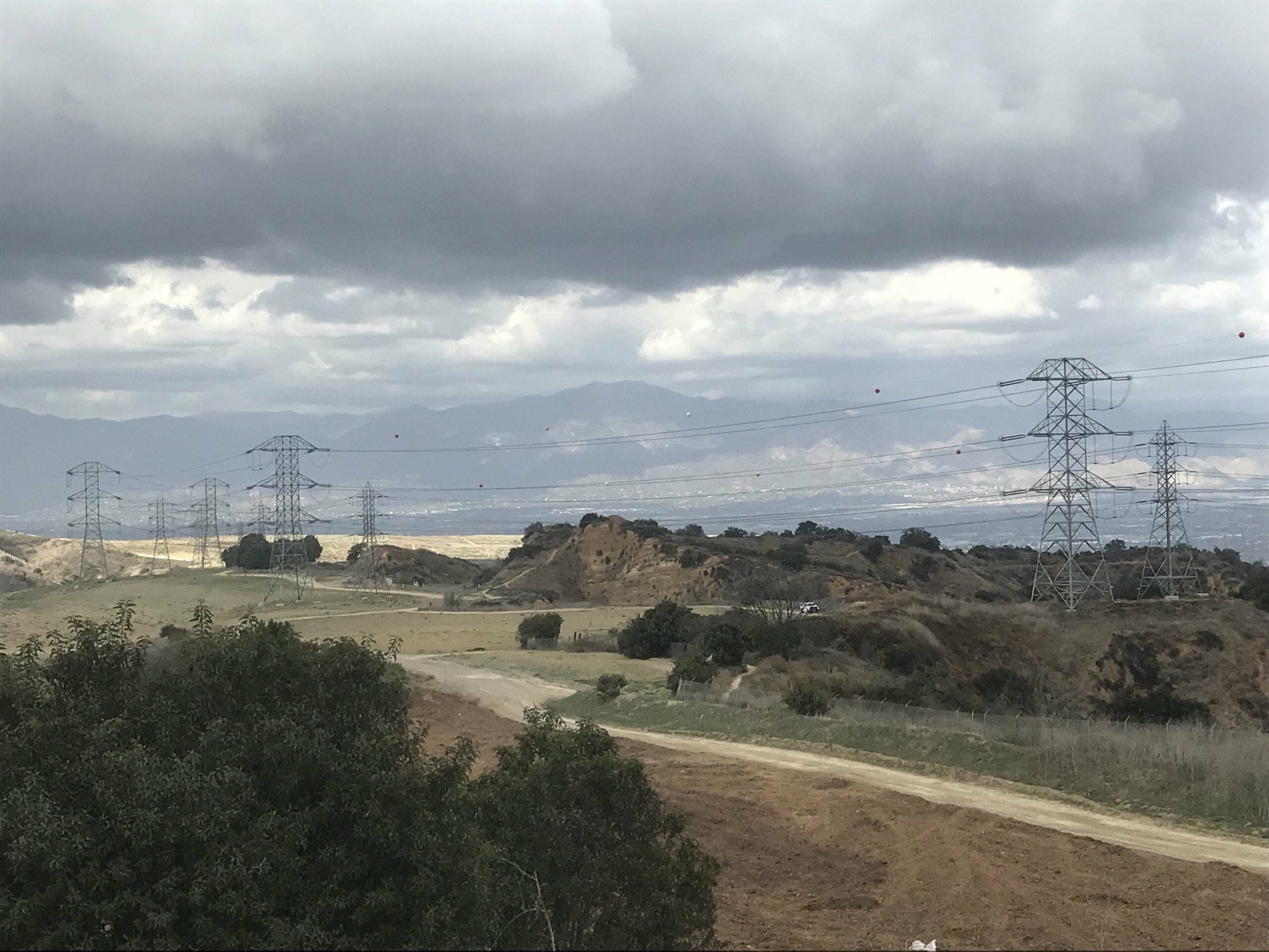
Turnbull Canyon Electric Towers
An alternate trail that loops around the water tower (I did not come this way).
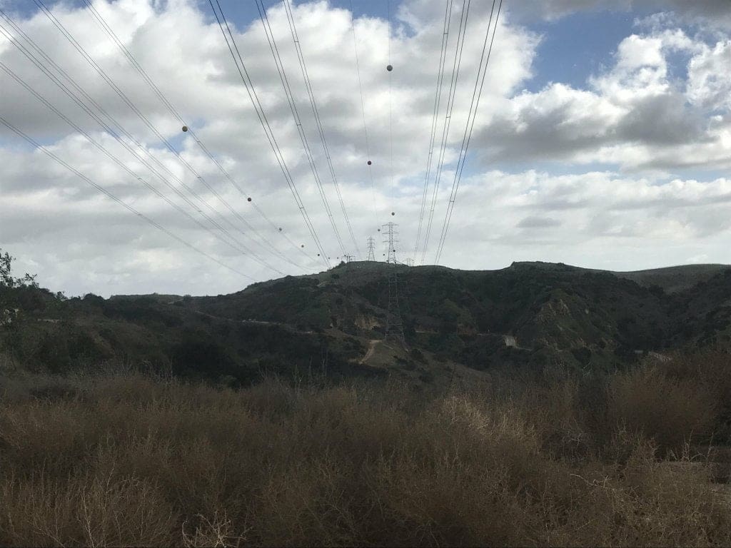
More electric towers in the distance as well as a vast mountain range. (Fun fact: if you head directly towards that mountain range, you’ll end up in Arizona).
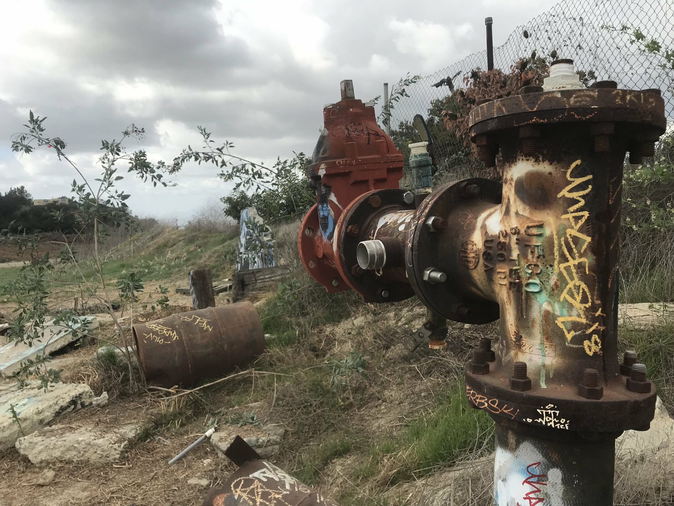
About 500 feet later, I come across a small off trail that leads to a junkyard of some sorts.
Scrap metal and cement blocks with tasteful graffiti plastered all over it.
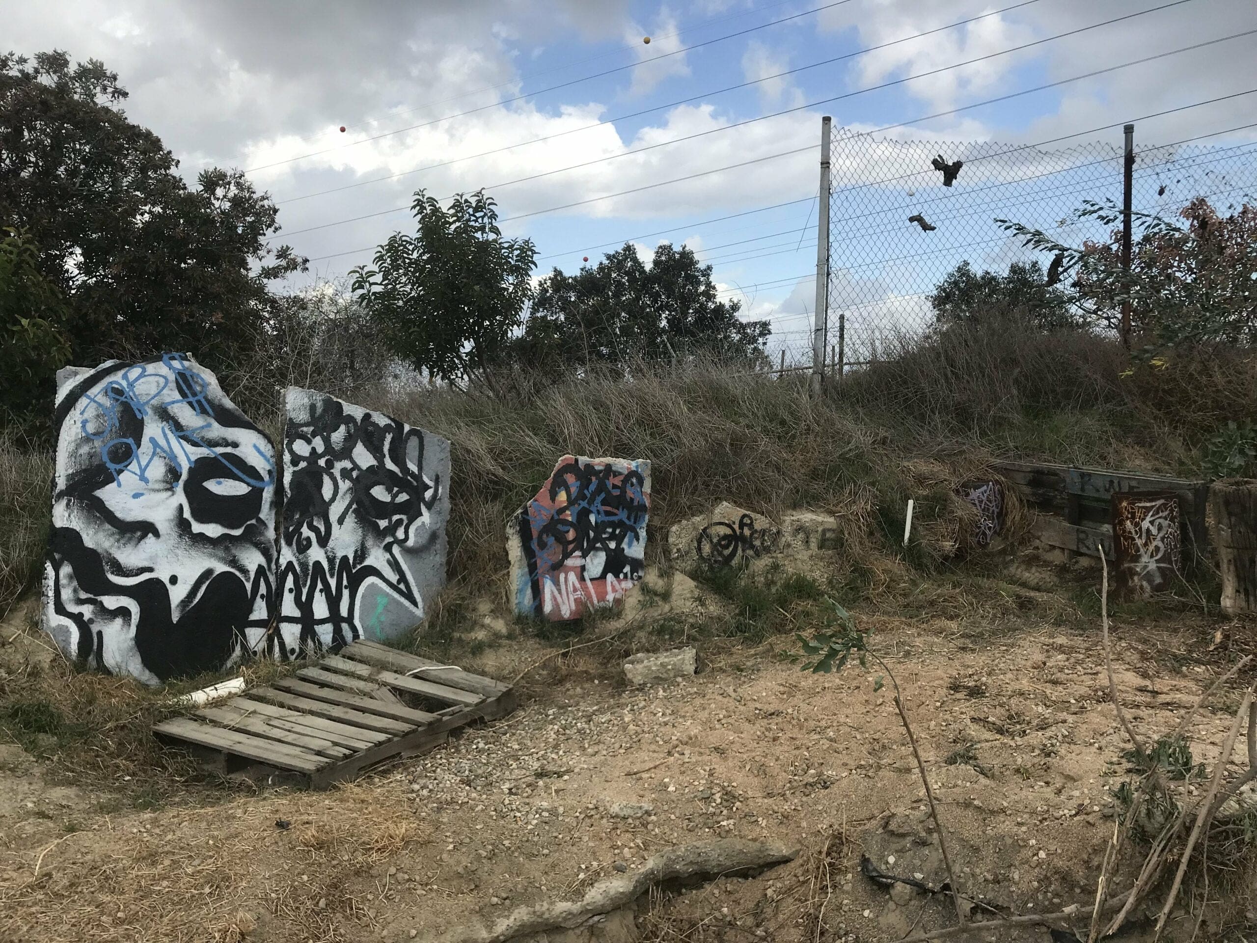
This area actually leads to another trail that connects to the Rose Hill Cemetery, but that’s a story for another time.
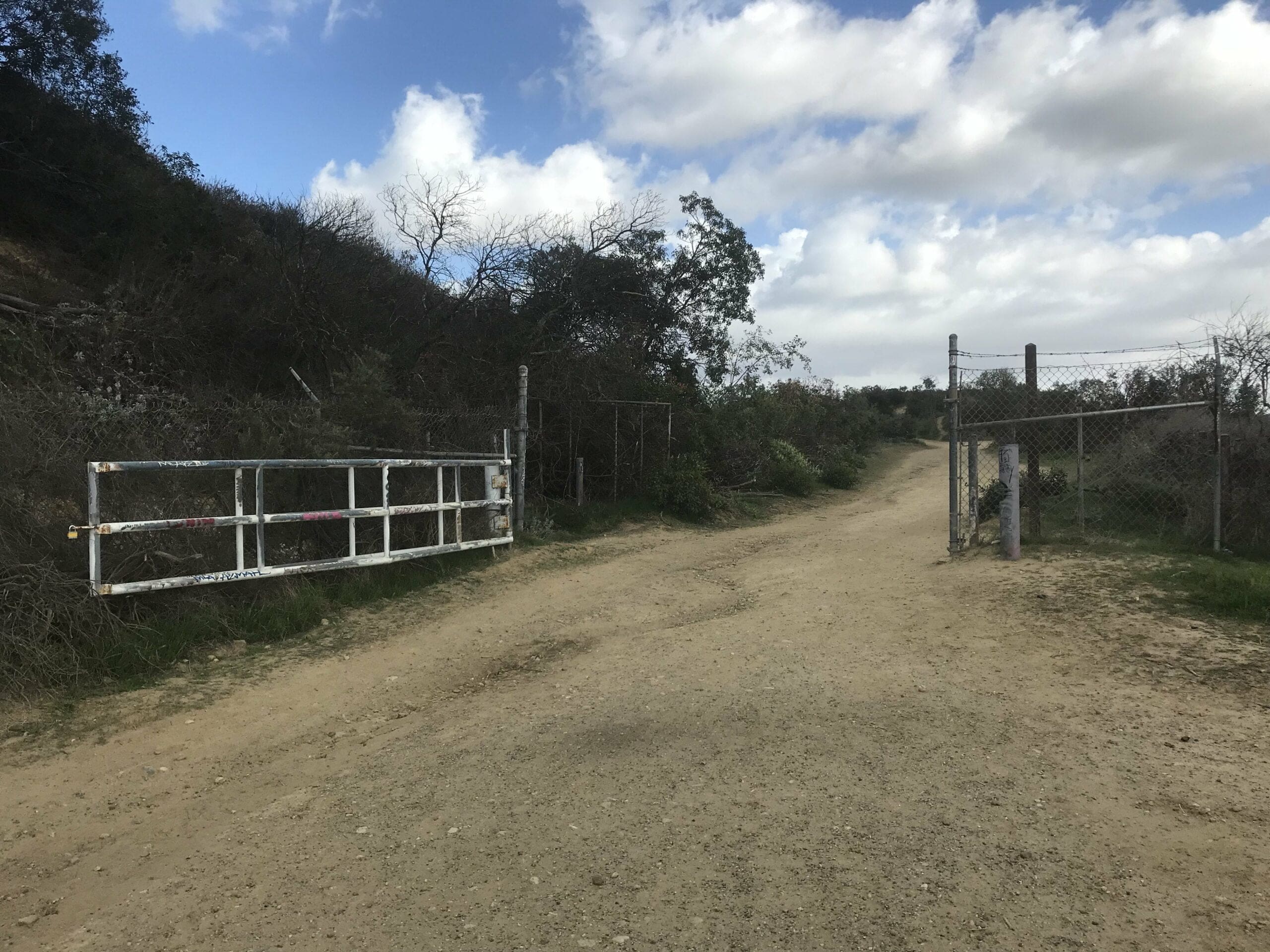
I exit the “junkyard” and soon come to a gated area that seems to have an opened door. This feels slightly illegal, but oh well.

Vantage point of the electric tower.
View from beyond the electric tower, which would be facing south toward Orange County.
The upper part of this trail loops around the electric tower while the lower part seems to be the start of an entirely new trail: the Ahwingna Trail, which I haven’t explored yet.
The rightmost trail, which loops through a guarded fence and to a new fork in the road.
When you reach the fork you have 3 choices:
- The leftmost fork which leads to the top of the electric towers
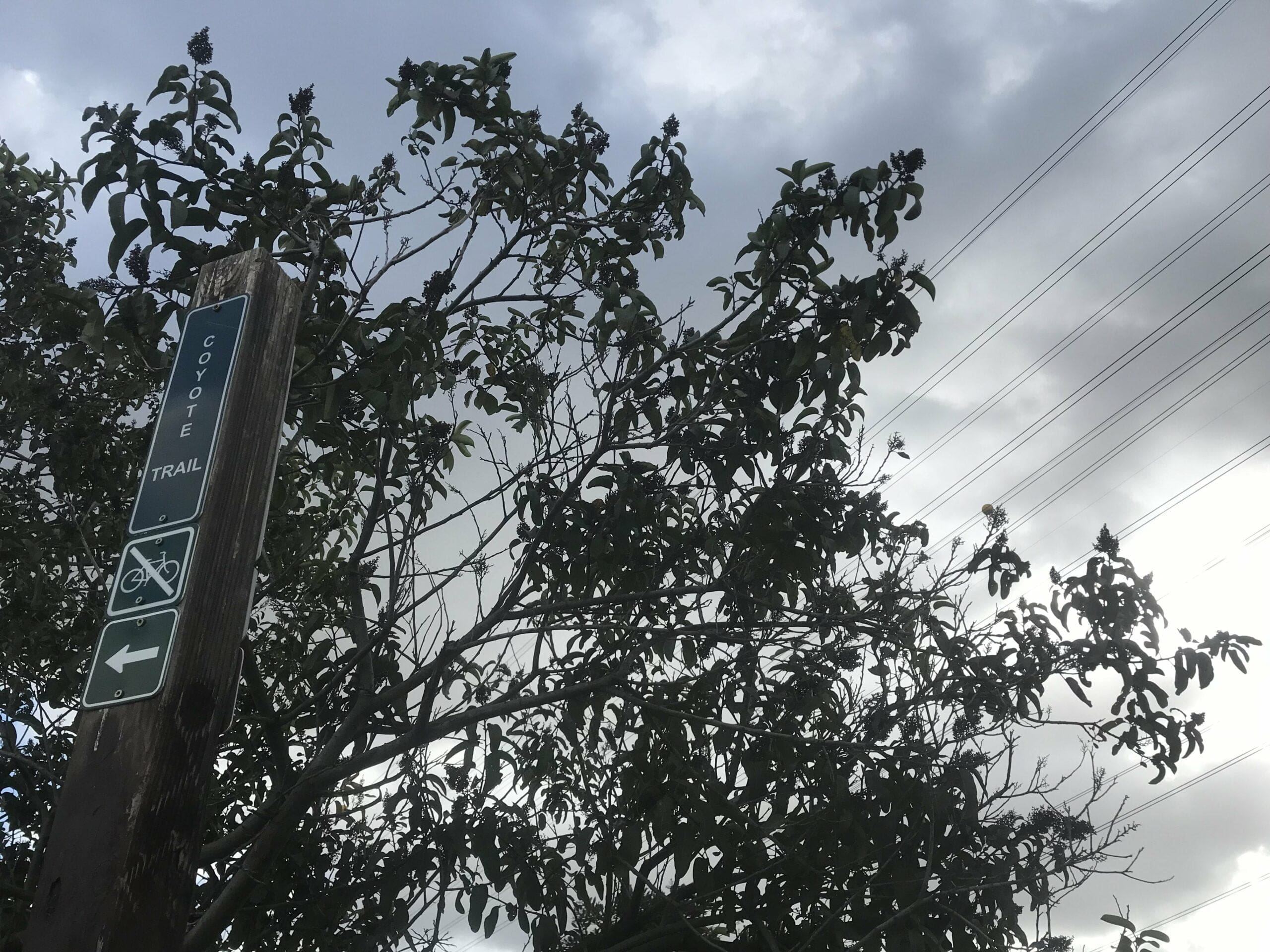
- The middle fork which is the start of a new trail: the Coyote Trail
- The rightmost fork, which is also the start of the Coyote Trail (albeit, in a different direction)
I decided to save the Coyote Trail for a different day and double back to continue on the initial trailhead, which leads back to the electric towers off of the Turnbull Canyon trail.
View from the trailhead; You can hear quite a bit of humming from the cables above.
I soon reach another fork in the road, past this gate in the photo.
Both forks actually lead to the electric towers, it just depends on if you want to take the upper or lower route.
I head towards the upper route first.
Another fork.
To your right: a small hill that directly connects to the electric towers.
Straight ahead: A road that leads to a dead end.
I opt for the rightmost fork, which led to an open expanse atop a hill.
You can see the trail to the left that leads to the electric towers.
I decide to turn around to quickly explore the other tangent of the trail.
The trail narrows as you head towards the main trailhead.
I fork right to continue up the road, which leads to a dead end.
Now that my curiosity has been filled once again, I decide to take that lower route to the electric towers.
The start of the lower route.
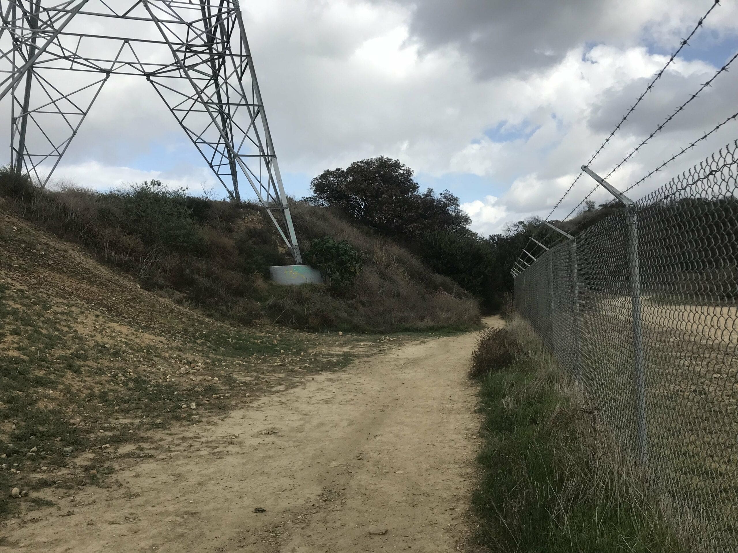
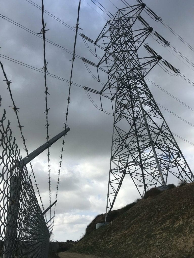
The trail narrows as I make my way past a barbed-wire fence.
The descent is moderately steep with plenty of switchbacks.
A bed of cacti, which you’ll occasionally see on this hike.
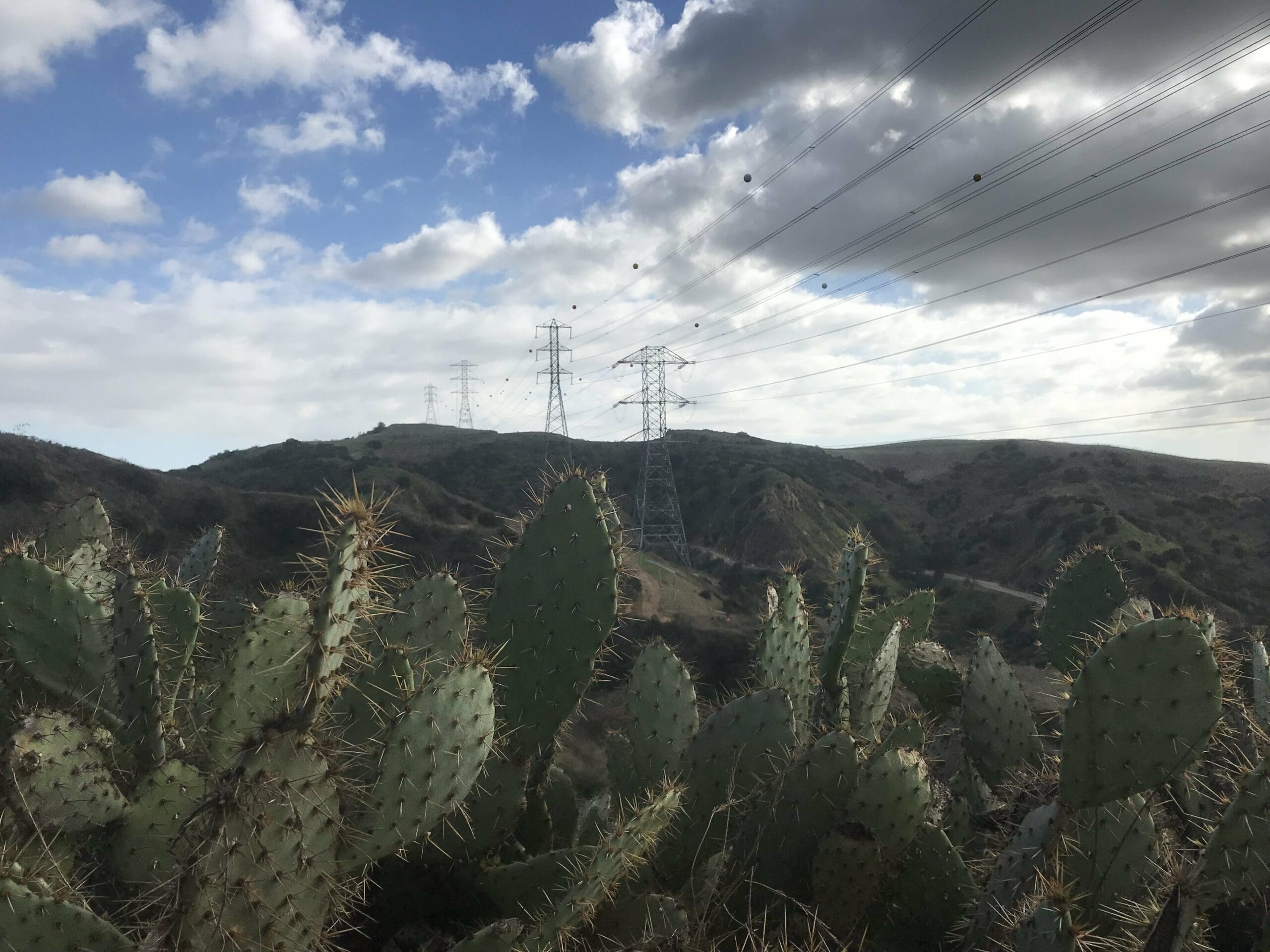
The first of many switchbacks towards the electric towers.
The Finale of the Hike
I eventually make my way towards these towers and back onto the main Turnbull Canyon trailhead.
The flattened road back.
I walk back through the entirety of the trailhead, past the Sumac Trail (which lead to the water tower) and back towards the initial gate.
The road that leads back to sanity (aka my car).
Turnbull Canyon Hike Review
Total time spent on this hike: 4.5 hours.
Part 1: 2.5 hours (hike that leads to treasures and the electric towers)
Part 2: 2 hours (hike that leads to a water tower and back around to electric towers)
Overall thoughts:
- It’s perfect for beginner and intermediate hikers
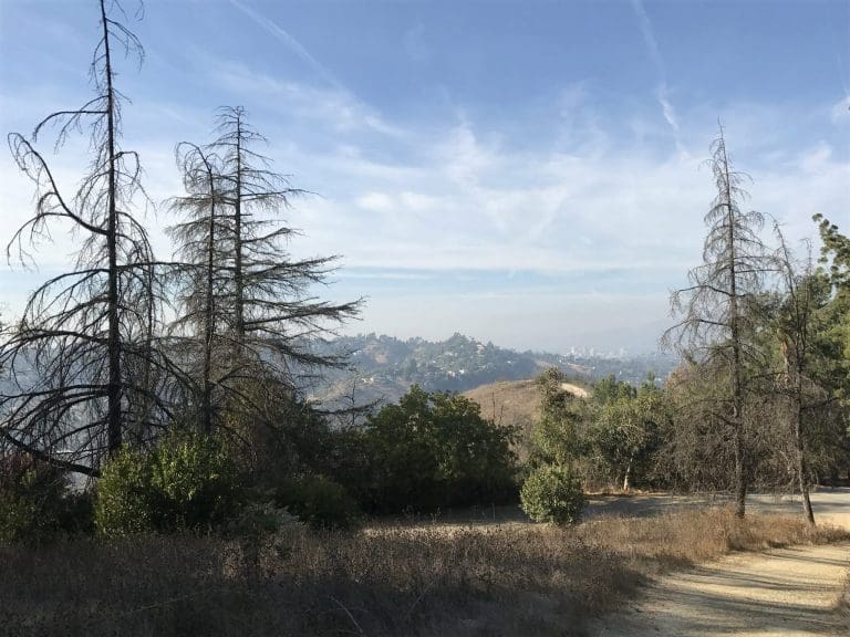
- If you climb high enough, you can see Downtown Los Angeles, the mountain range that leads to Arizona, and the landscapes of both Long Beach and Orange County.
- The hike is great for treasure hunters
- The canyon is large enough where you can easily explore different tangents and sectors (just try not to get lost)
Turnbull Canyon: A fairly easy hike through the rolling hills of Uptown Whittier that leads to a graffiti-plastered water tower and various electric towers.
Now if only I can find the time to explore the rest of Turnbull canyon.
Hope you enjoyed our tour of Turnbull Canyon hike, we would love to hear about your hikes in this area. Let us know how your trip went below in the comments section!