Wildwood Canyon: Ascend to Burbank’s Radio Towers
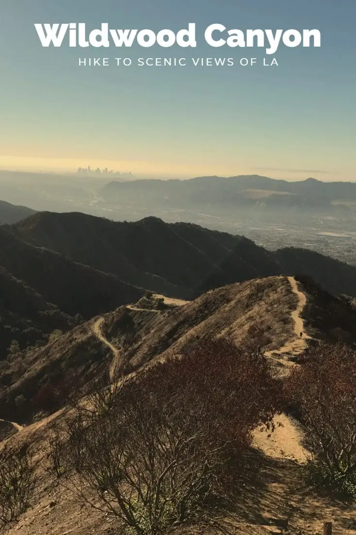
Wildwood Canyon is a deceivingly long ascent to four radio towers, nestled within a recovering environment that offers up panoramic views of Burbank and downtown Los Angeles.
Wildwood Canyon Trail
Nestled in the San Bernadino National Forrest the Wildwood Canyon offers several miles of relatively easy trails.
Difficulty: Relatively Easy, Varied Terrain with switchbacks
Recommendations: Pack in your own water and food.
Trails
Wildwood Canyon is comprised of the following named trails:
- Central Ridge Trail
- Cottonwood Trail
- McCollough Loop
- North Valley Trail
- Oak Tree Loop
- Stable Ridge Trail
- Stetson Trail
- Water Canyon Trail
Weather
Weather Underground weather for Yucaipa, CA
Parking
Parking is available near the Wildwood Canyon Park.
Directions
Address: 12241 Canyon Dr. Yucaipa, CA 92399
Wildwood Canyon Trail Rules
- Open daily from 7:30 am to sunset
- Dogs on Leash!
- Stay on marked trails
- Because of extreme fire danger smoking and open flames are prohibited
- please pack out all trash
Wildwood Canyon Hike
A Taste of What’s to Come
The time is 8:27 am on a relatively warm Friday, and I’m running off of less than 2 hours of sleep (don’t ask why).
Perfect time to go for a hike, am I right?
Being the ambitious and overly determined adventure-driven nutcase that I am, I decided to tackle yet another tough nut of a hike to crack: Wildwood Canyon, which hosts several radio towers under the sunny skies of Burbank, California.
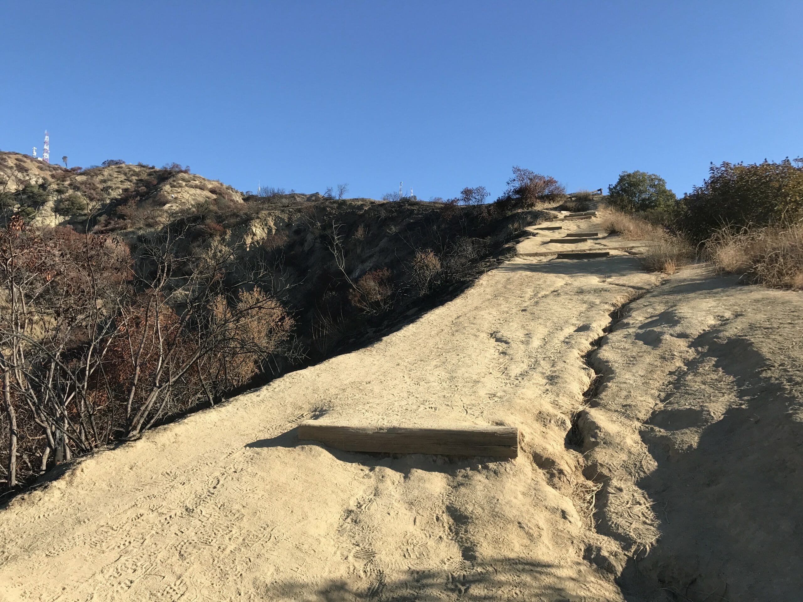
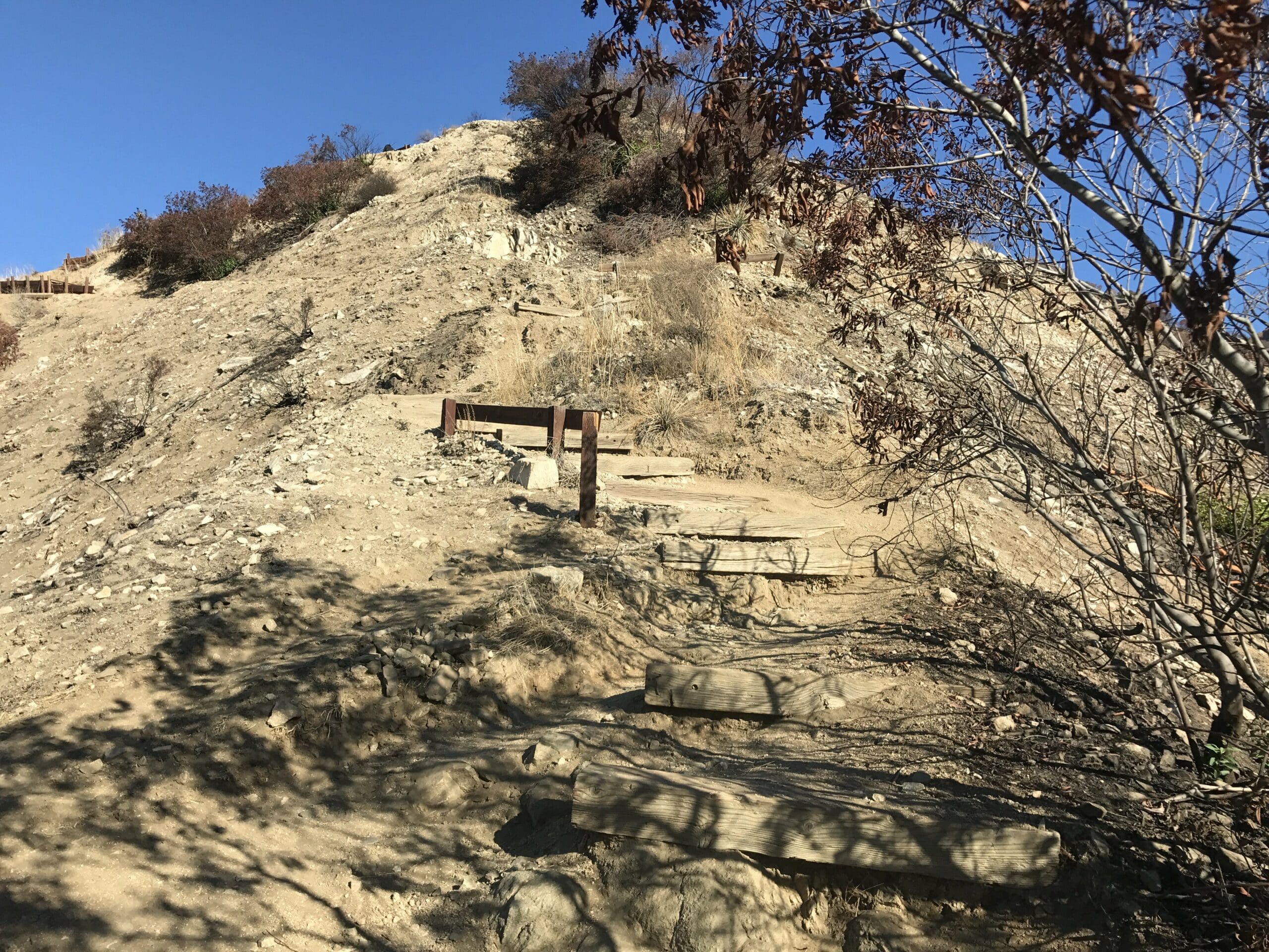
Nestled within a forested environment, the 2.6-mile trek begins with some moderately challenging switchbacks that contain several wooden planks to act as steps.
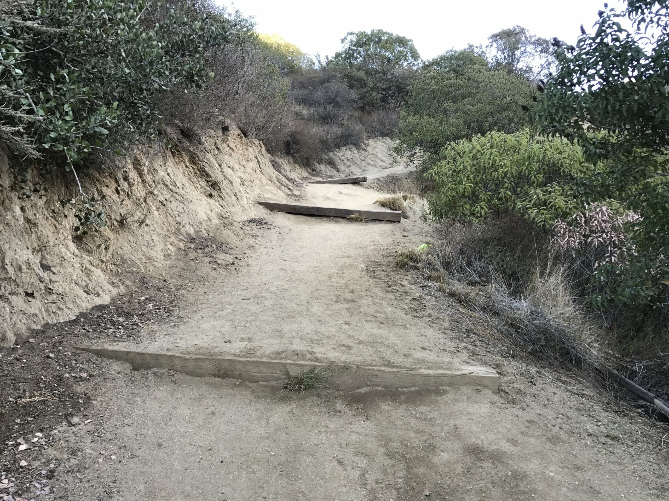
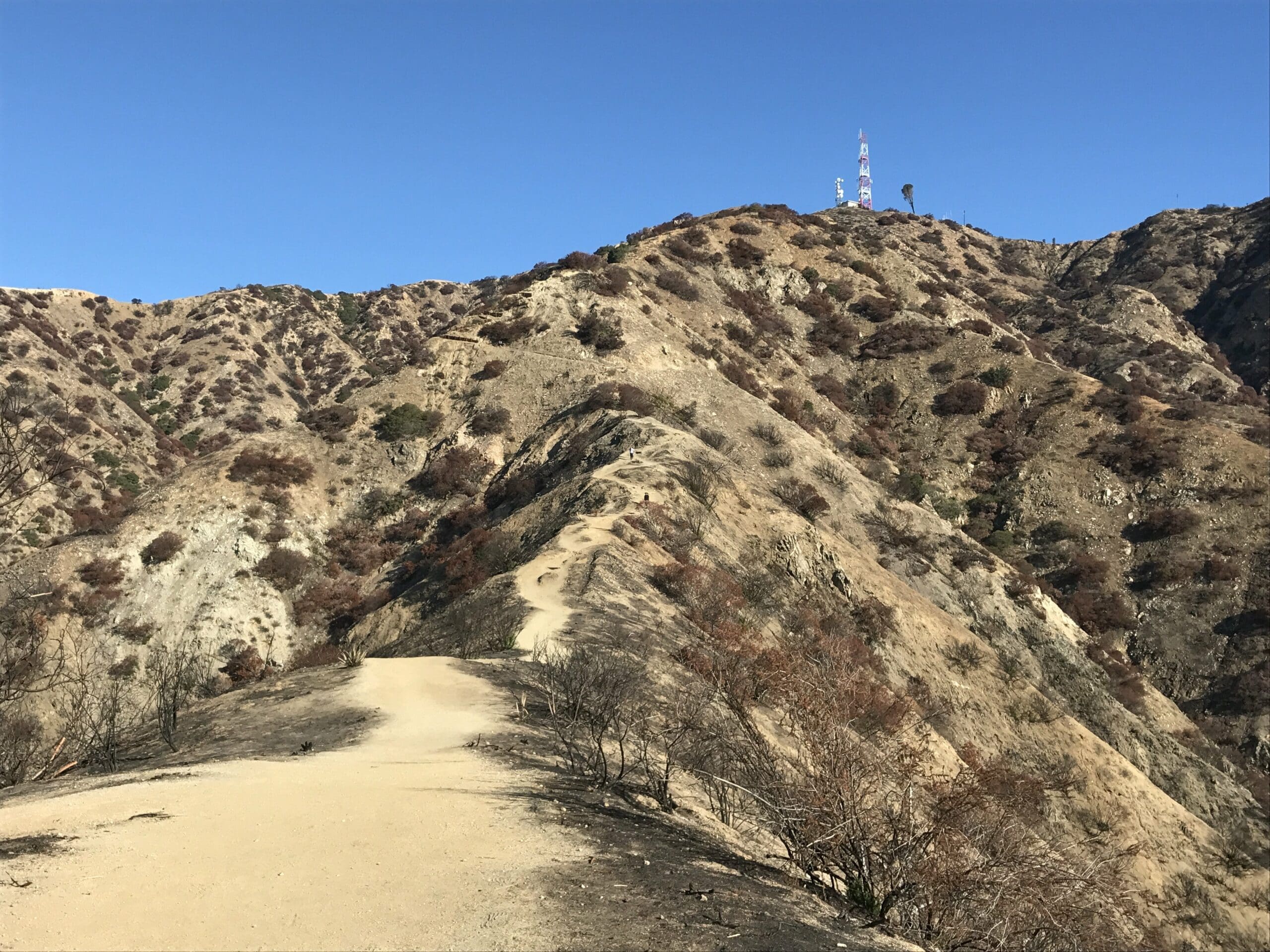
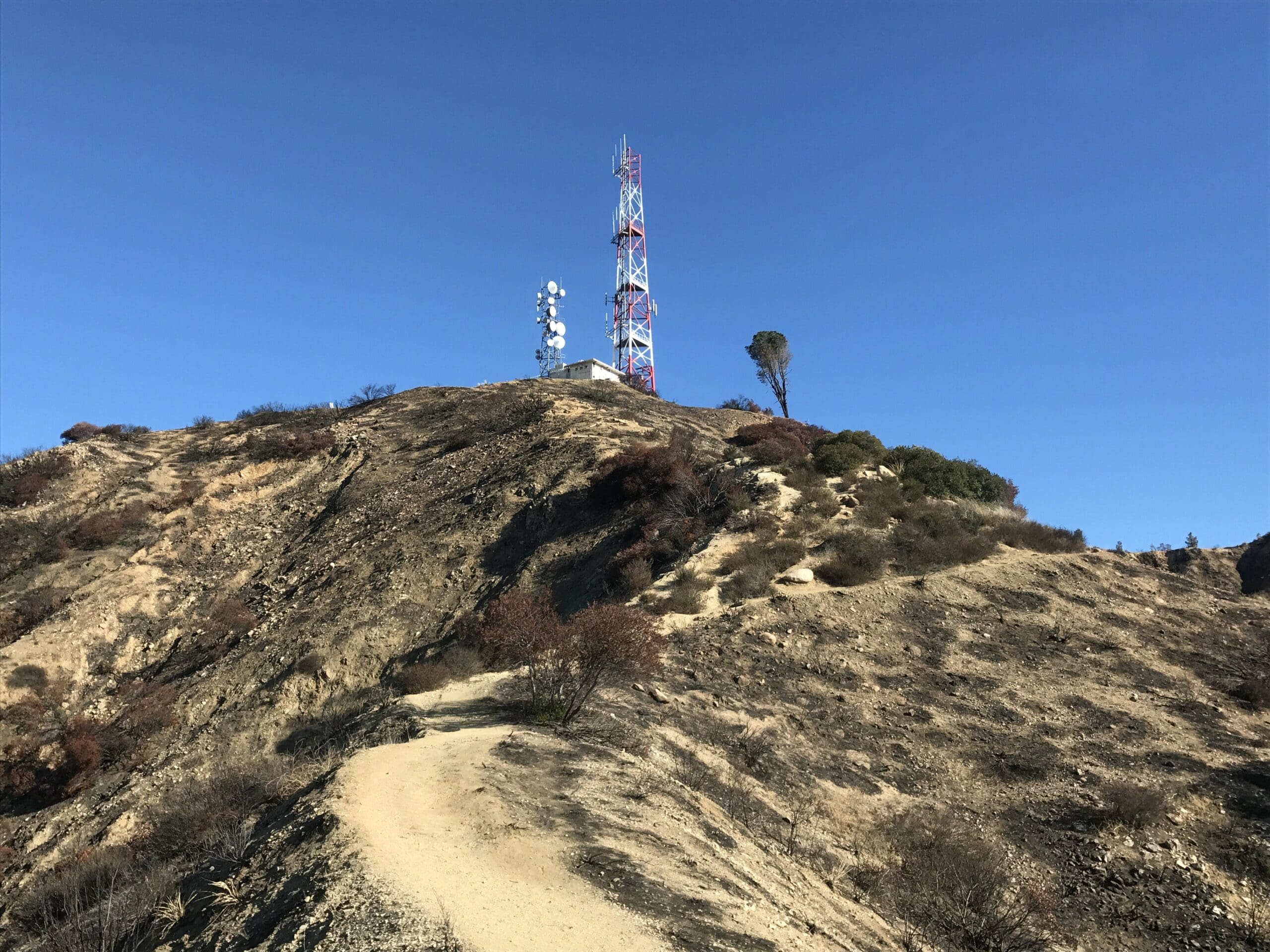
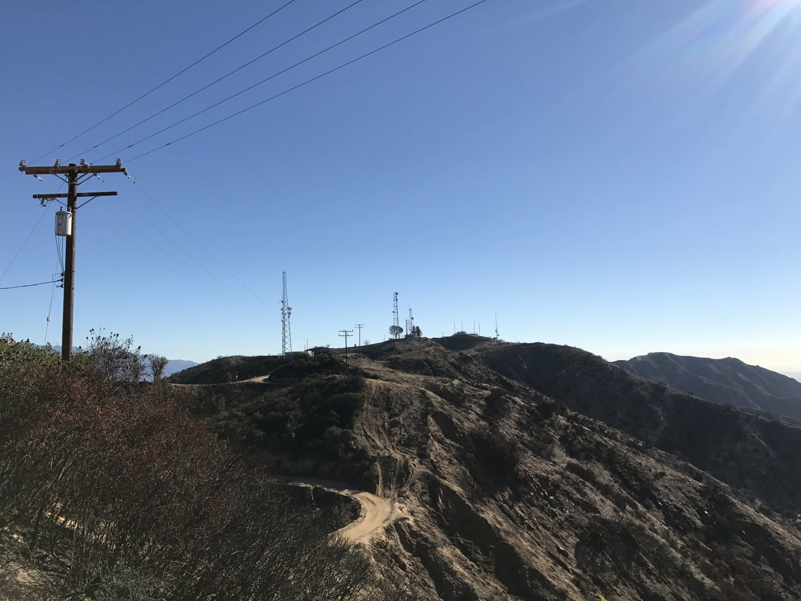
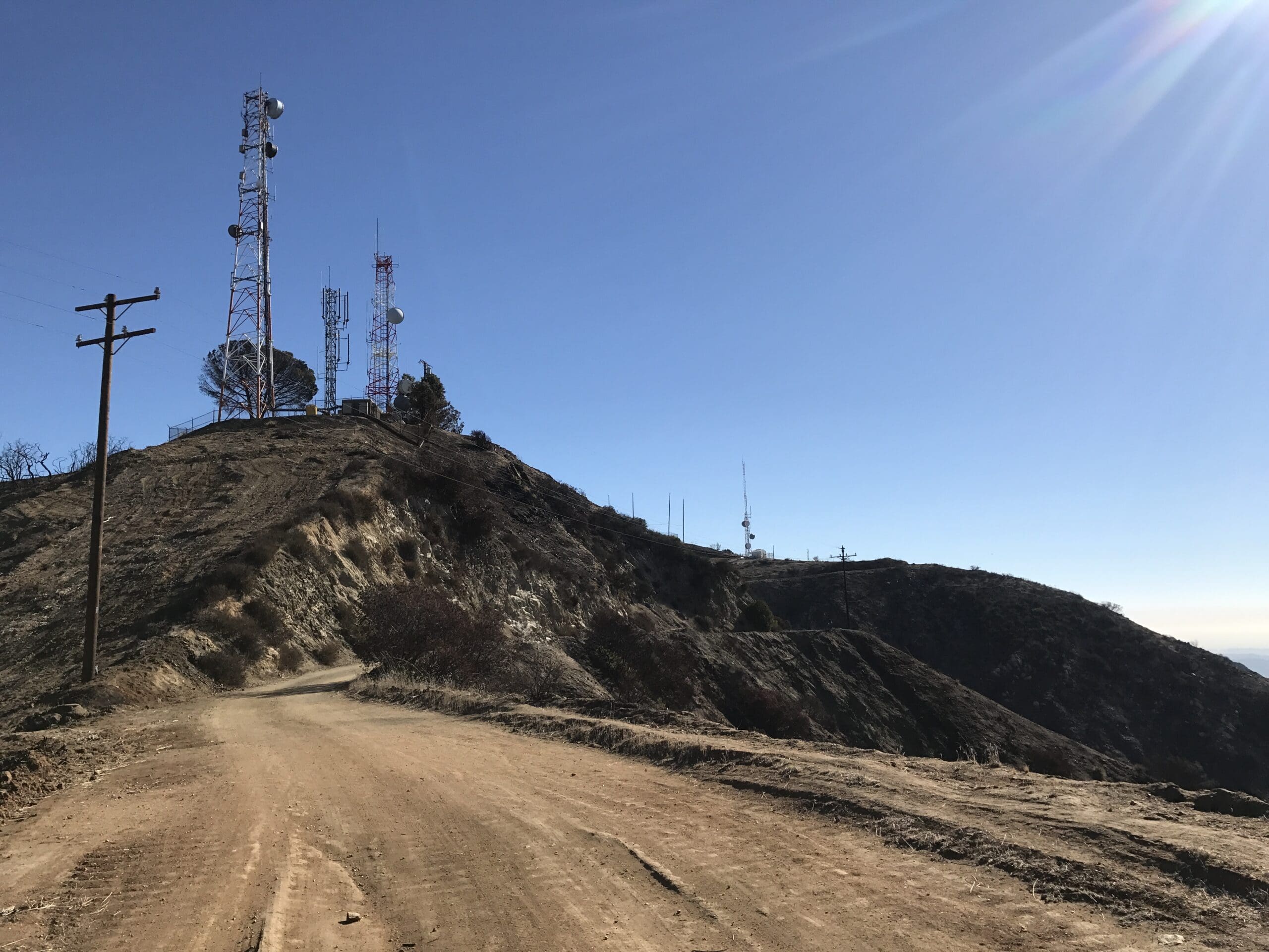
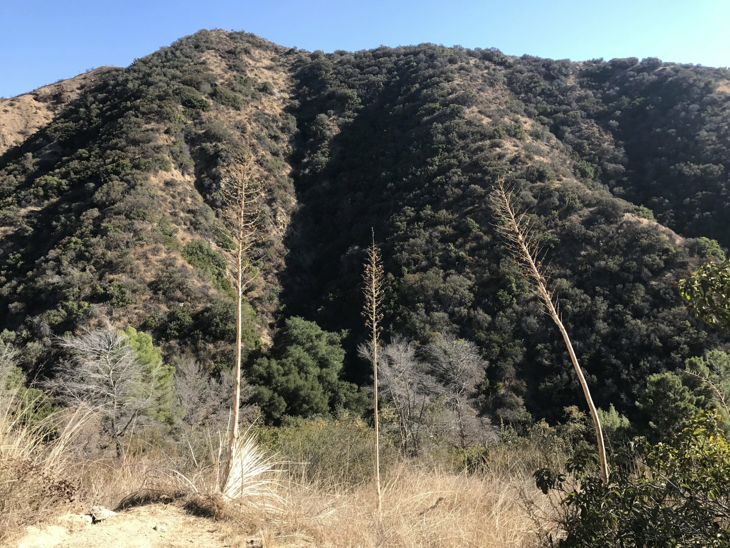
About three or four switchbacks in, I notice a glimpse of the prize ahead: the four Burbank radio towers, perched atop the seemingly innocent climb as the sun’s rays began to slowly encompass the canyon.
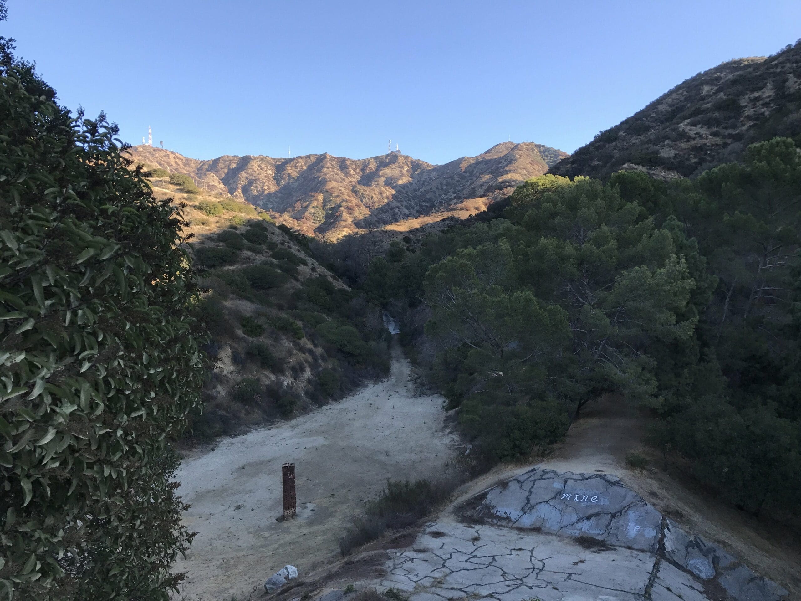
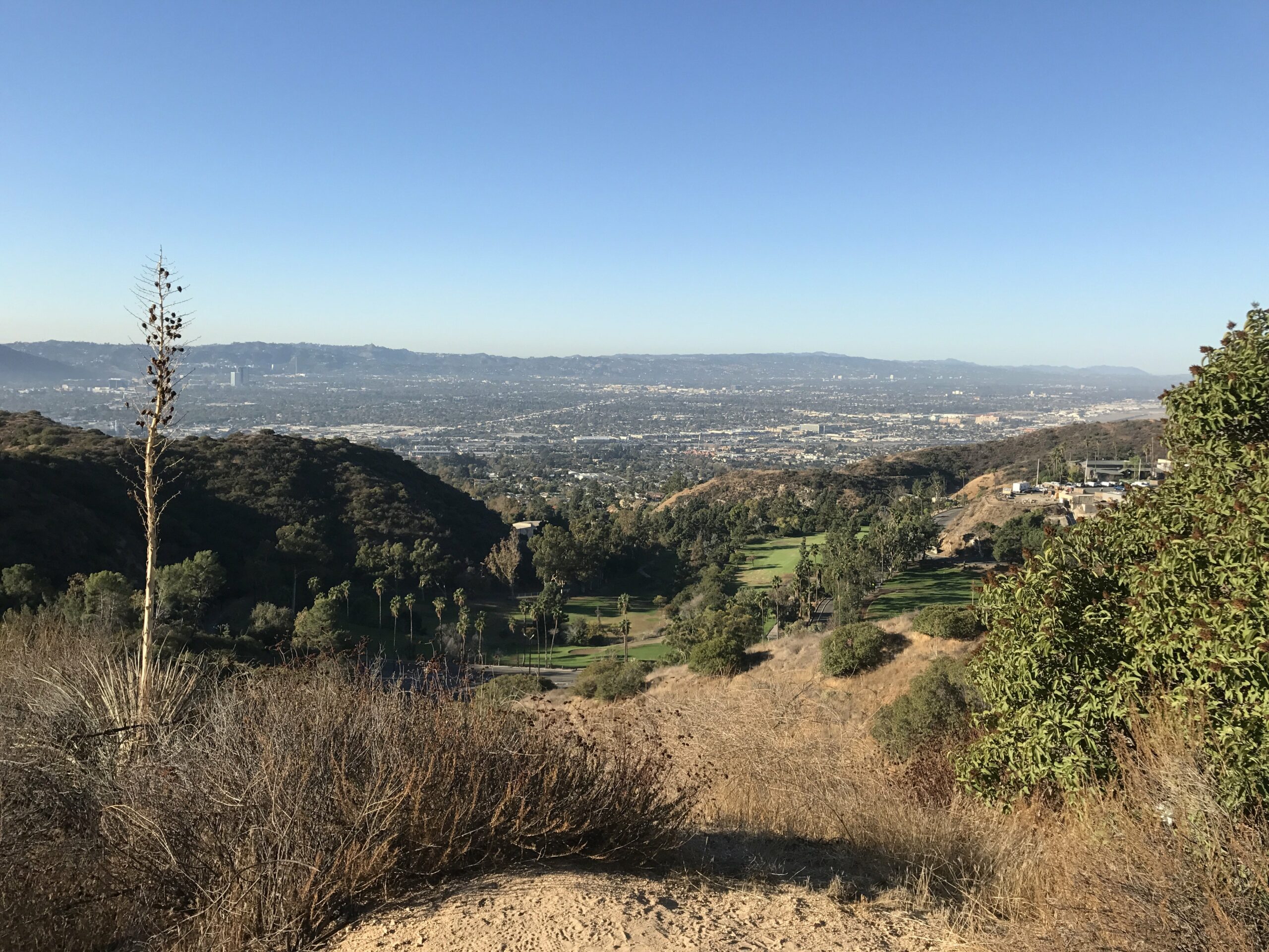
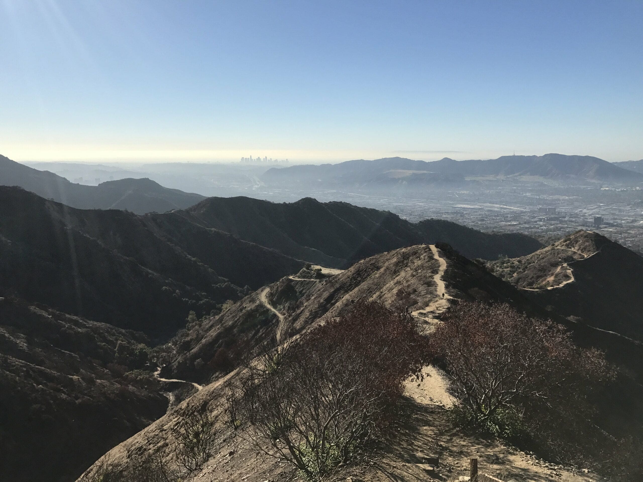
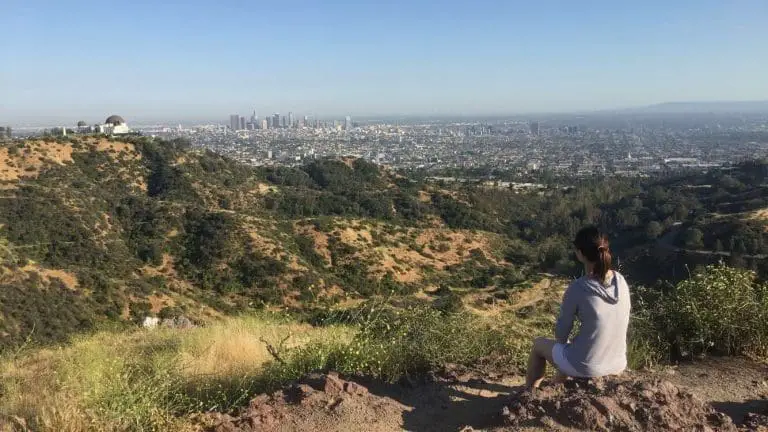
About a quarter of a mile up, you’ll be treated to a nice view of Burbank, a reward for all your hard work.
The trail ascends another half mile up, revealing other trails that tangent off into unknown parts.
While it was tempting to venture off into another territory, I decided to stick to the main trail head (although I’m the type of hiker who likes to cover the entire hiking site, for prideful purposes of course).
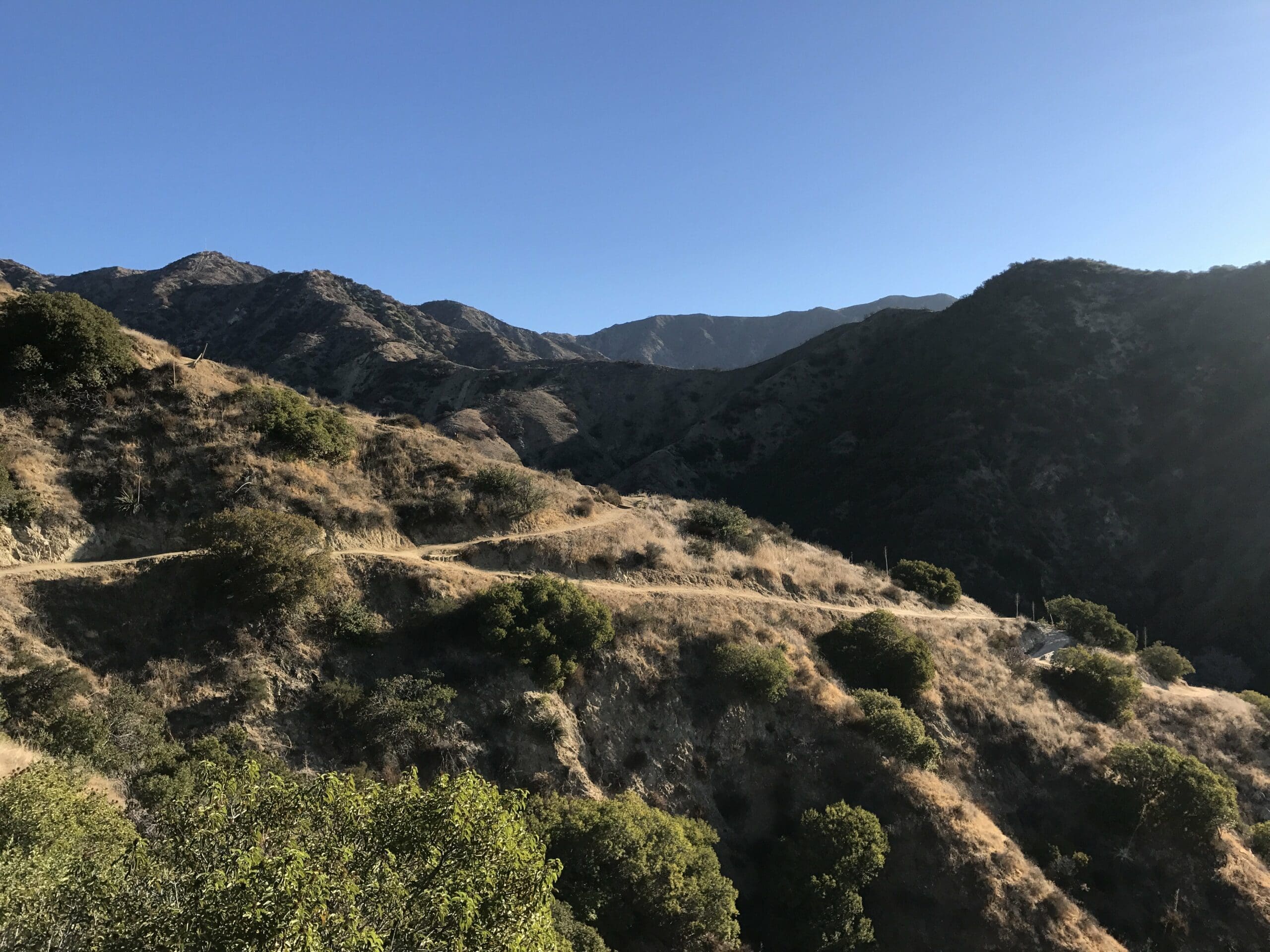
I notice a small spec of the first radio tower from afar, foolishly believing that the climb will be short and easy.
Boy, was I was so wrong about the climb being short and easy.
But more on that later.
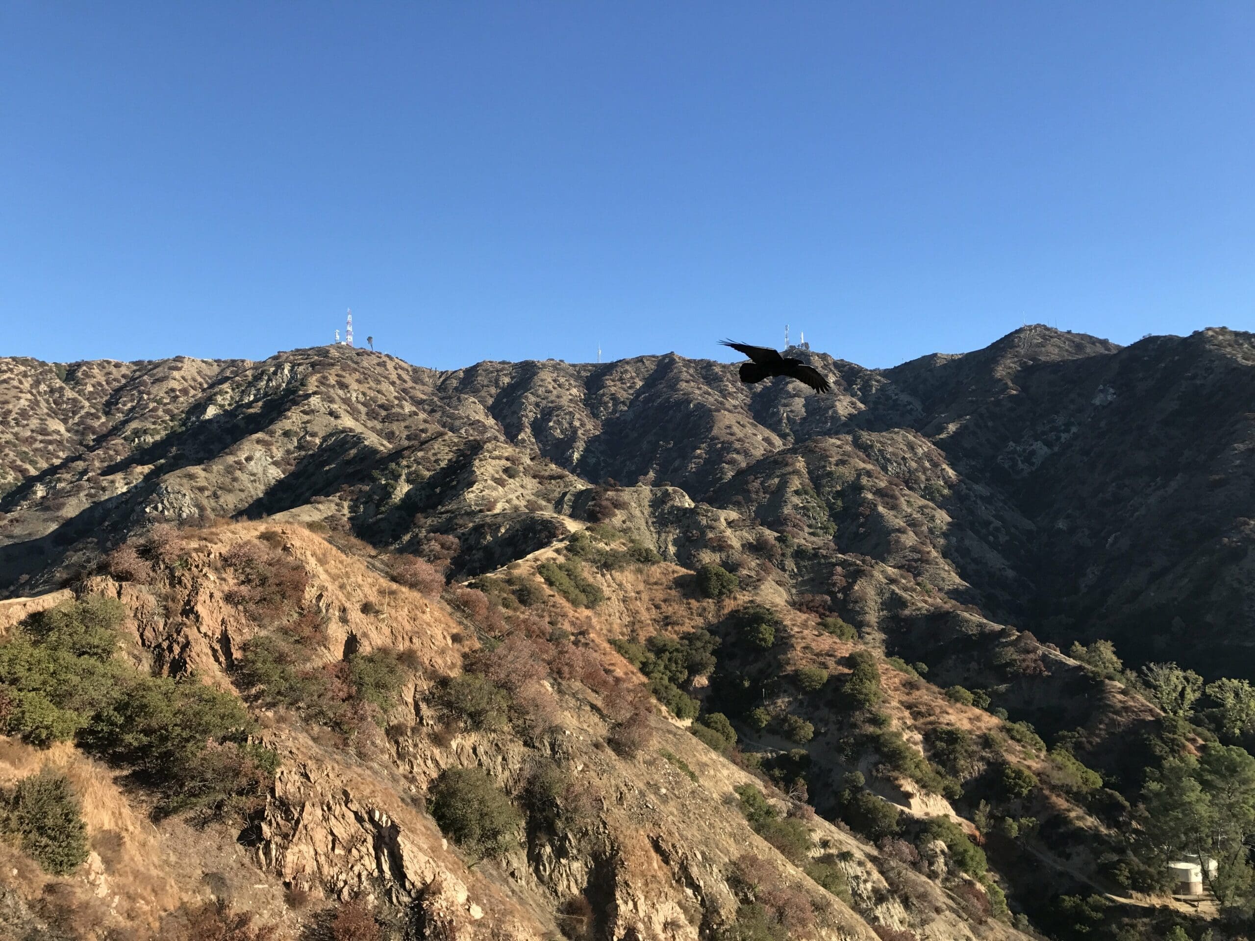
A Glimpse into Wildwood Canyon’s Scars
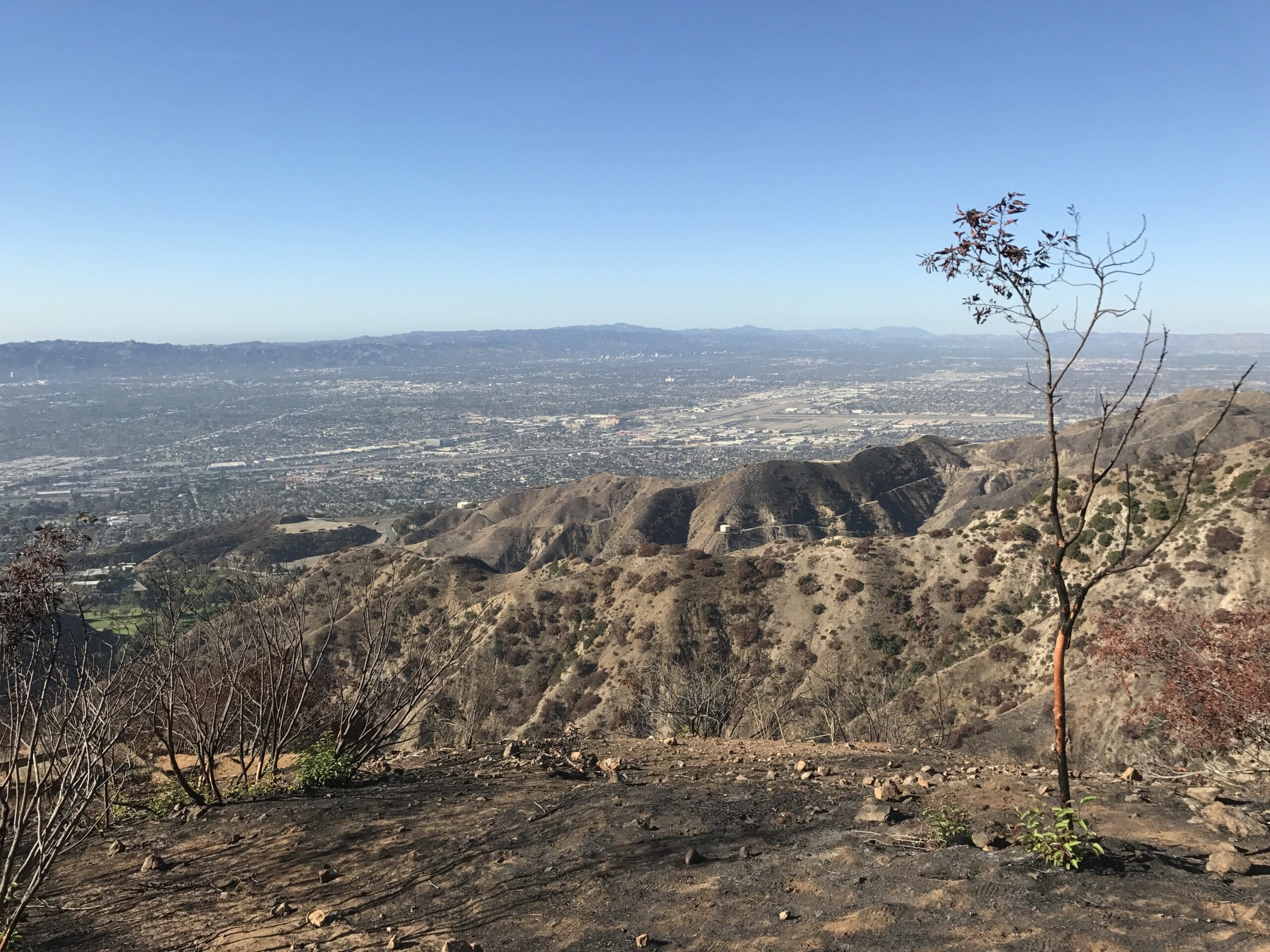
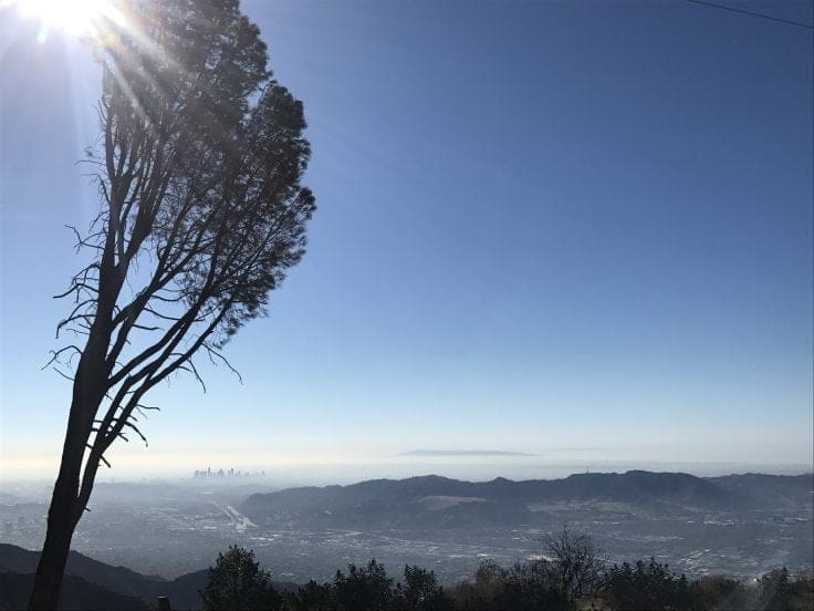
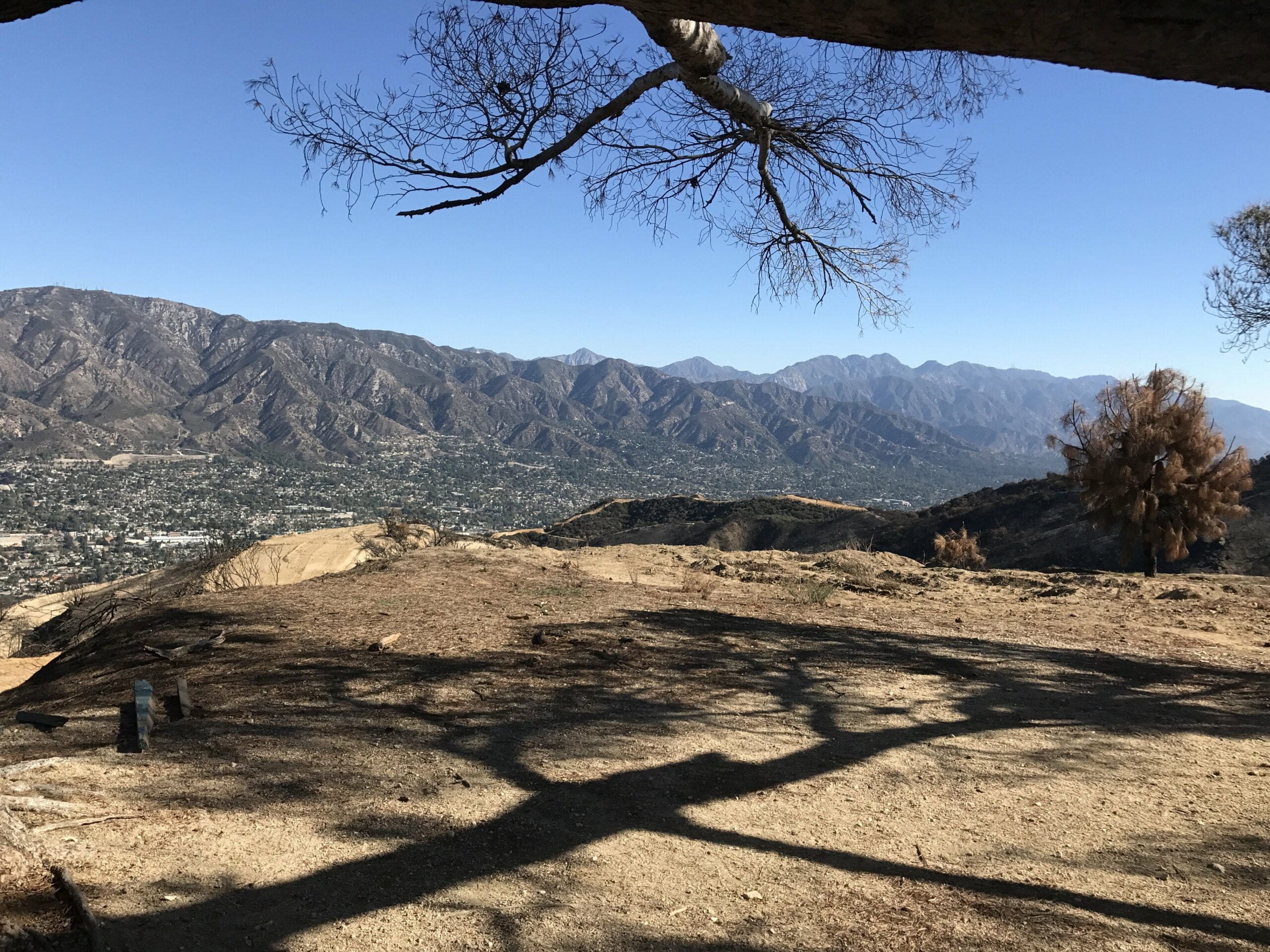
I fork off the main trail to gain some sight-seeing vantage points from a small hill, facing southwest toward downtown Los Angeles.
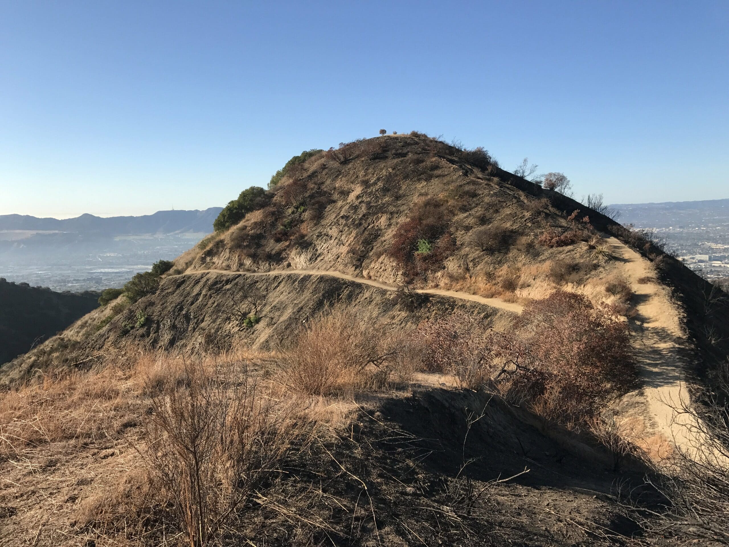
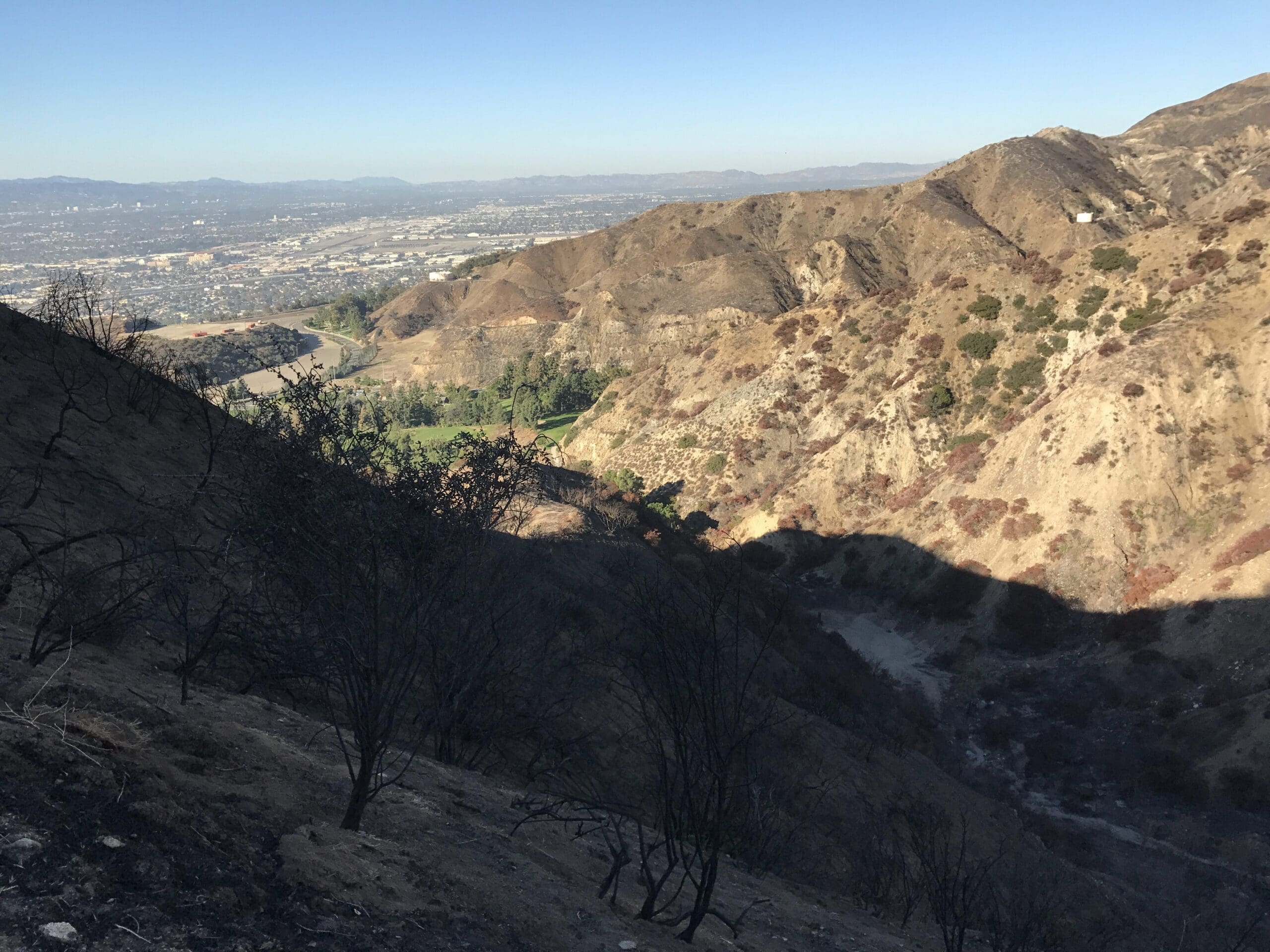
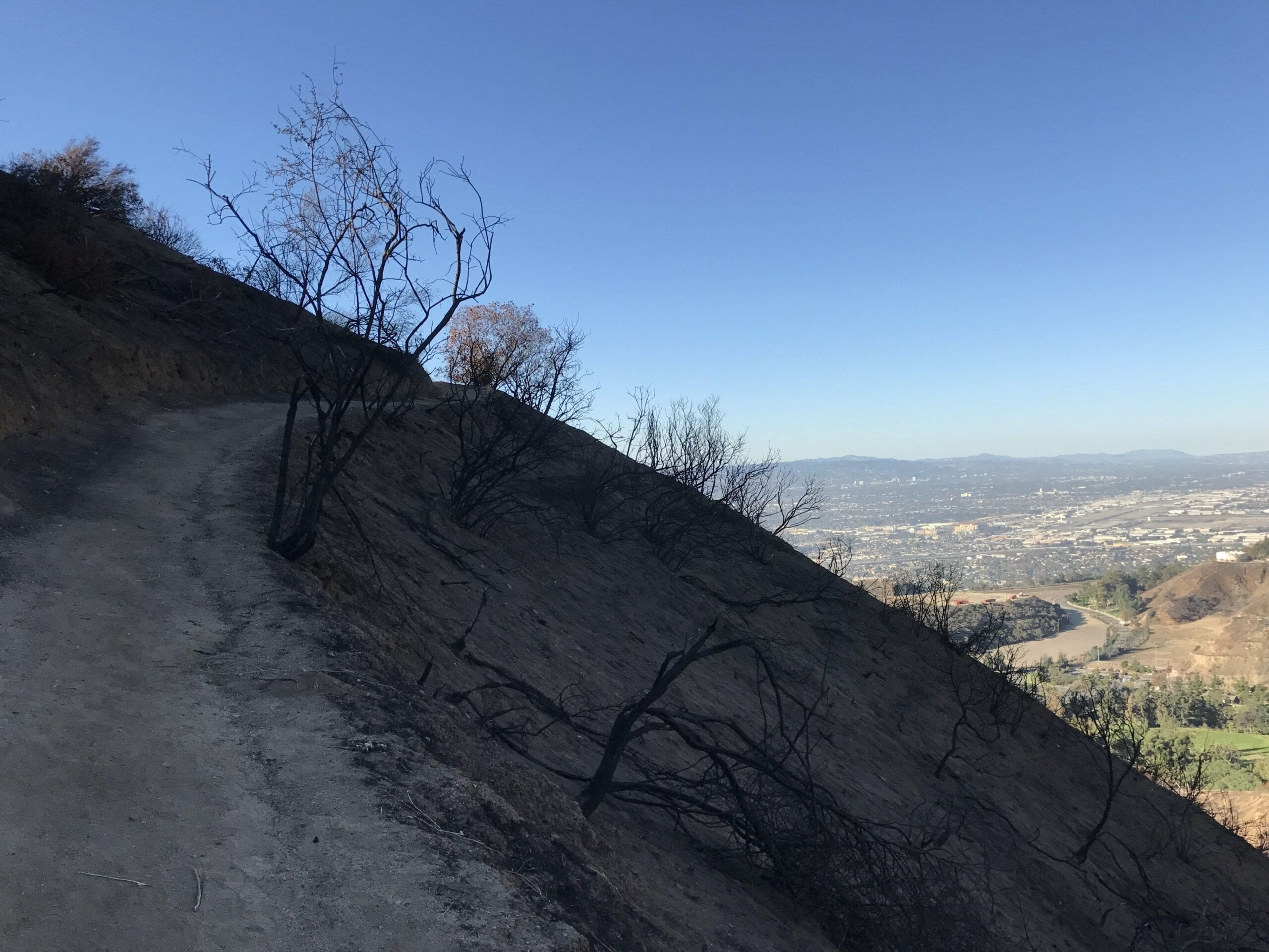
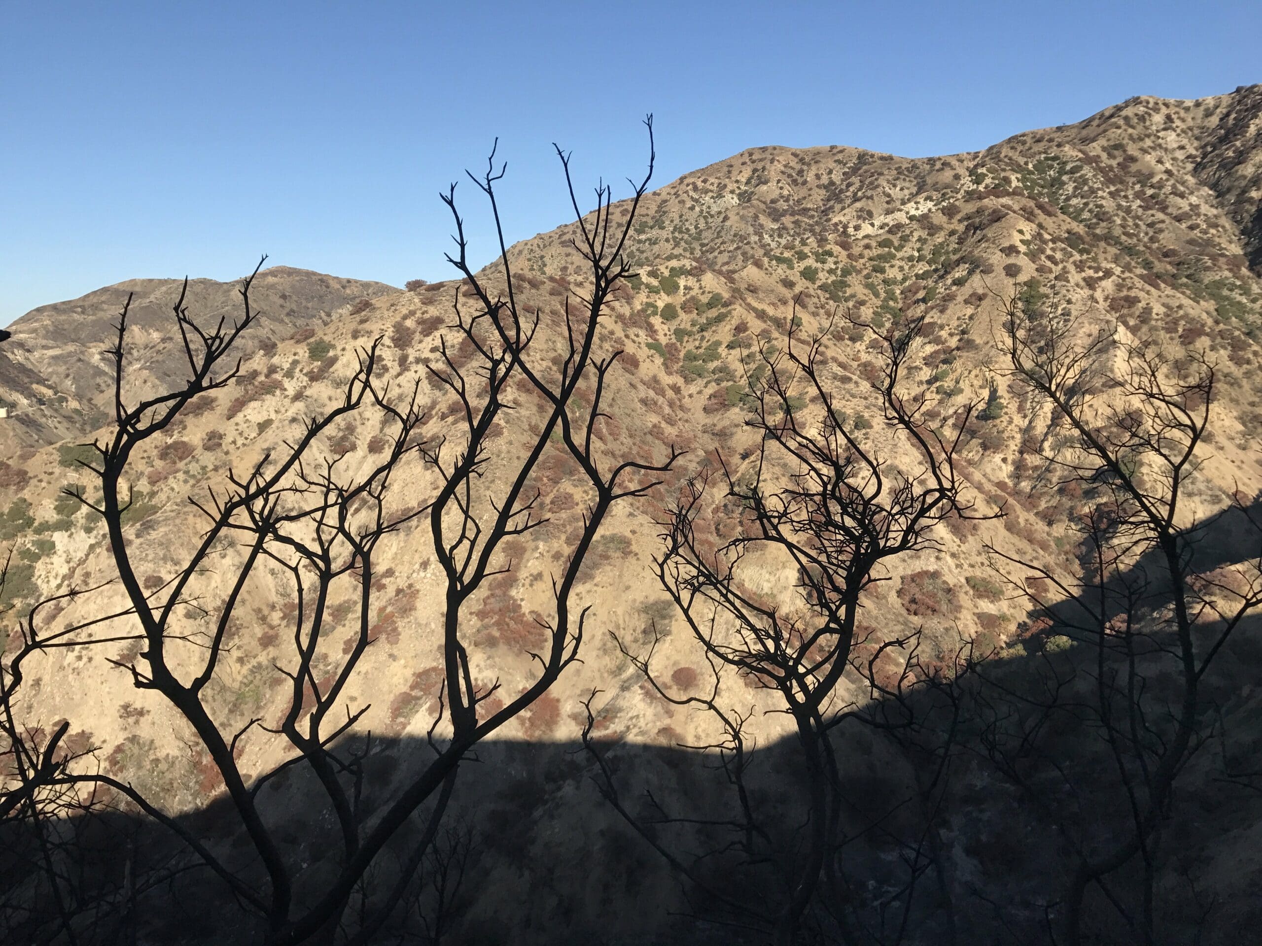
One aspect of this forked trail that caught my overly fatigued attention were the trees and surrounding terrain.
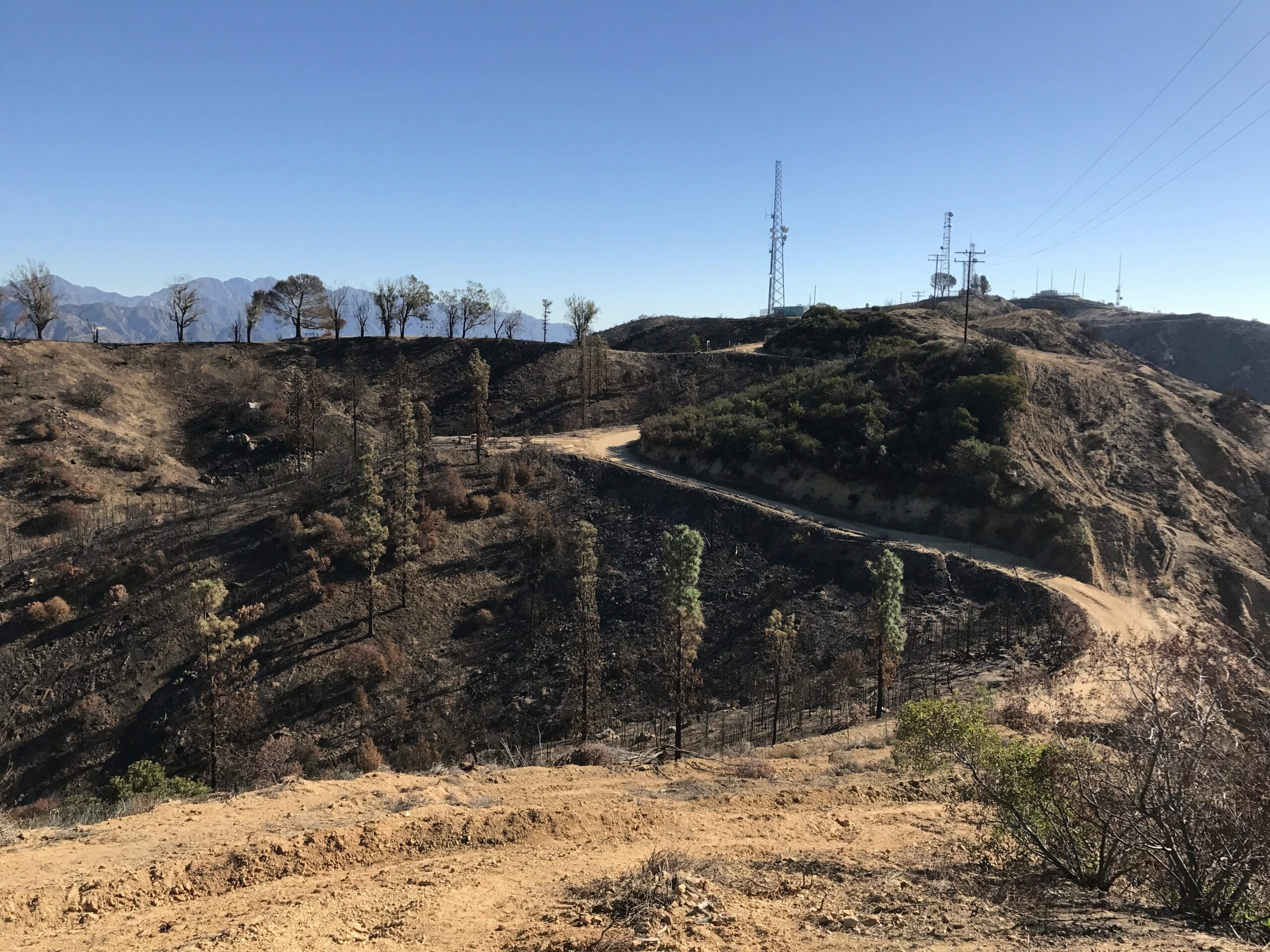
The environment appeared to be recovering from sort of fire, which I later found out to be true.
In late July of 2017, a brush fire engulfed over 10 acres of land in Wildwood Canyon, causing noticeable damage to the soil and trees.
The cause of the fire still remains unknown.
Barely hanging on for dear life, the damaged trees stood proudly as survivors of the brush fire, capturing Wildwood Canyon’s symbolic beauty.
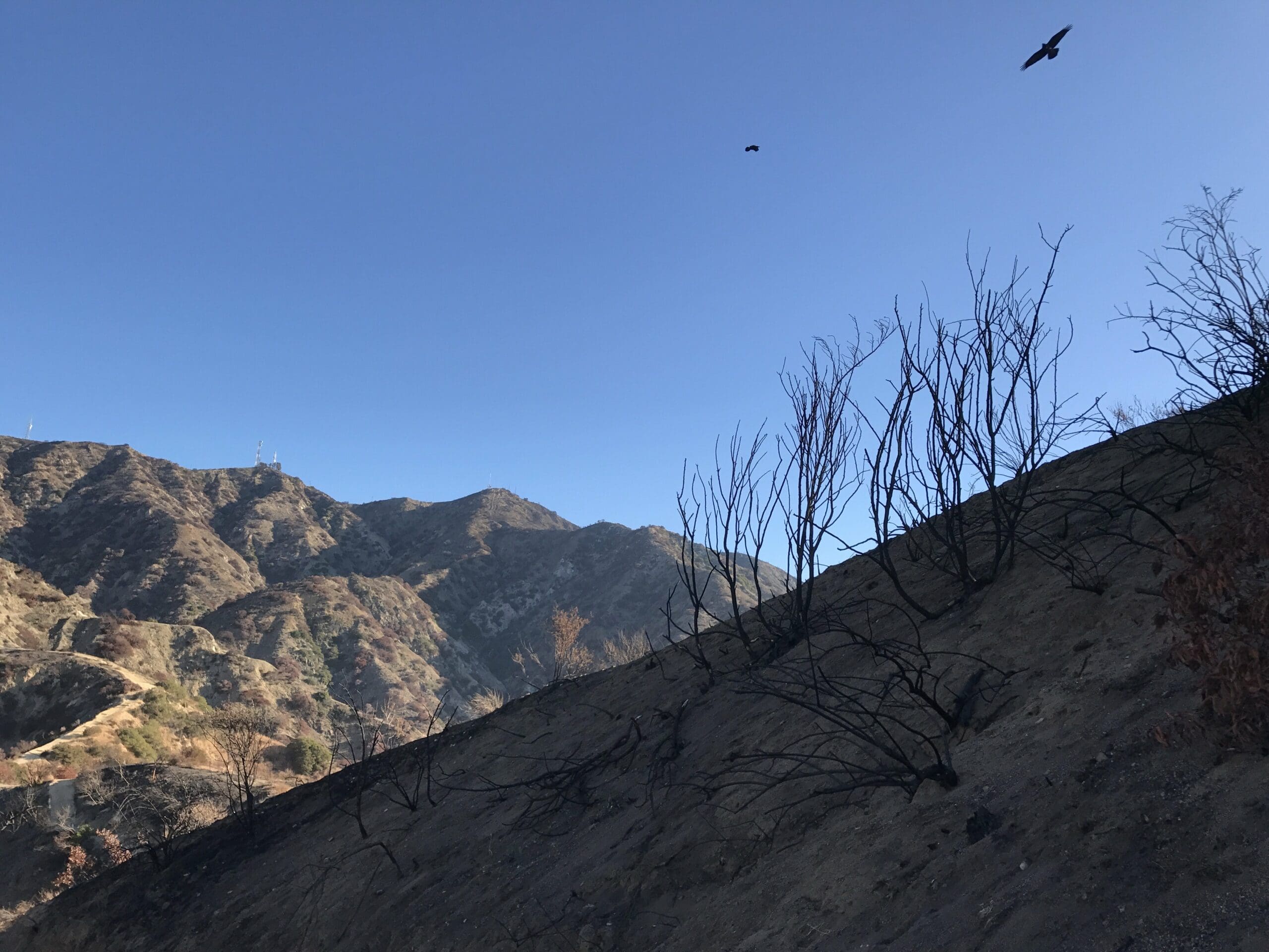
The symbolism of the shadow-like twigs lies within its growth toward the vast mountain range within the heart of Burbank, representing a desire to be wondrous and beautiful as it once was prior to the fire.
Or I could be overthinking this whole thing due to mental fatigue (less than 2 hours of sleep, remember)?!
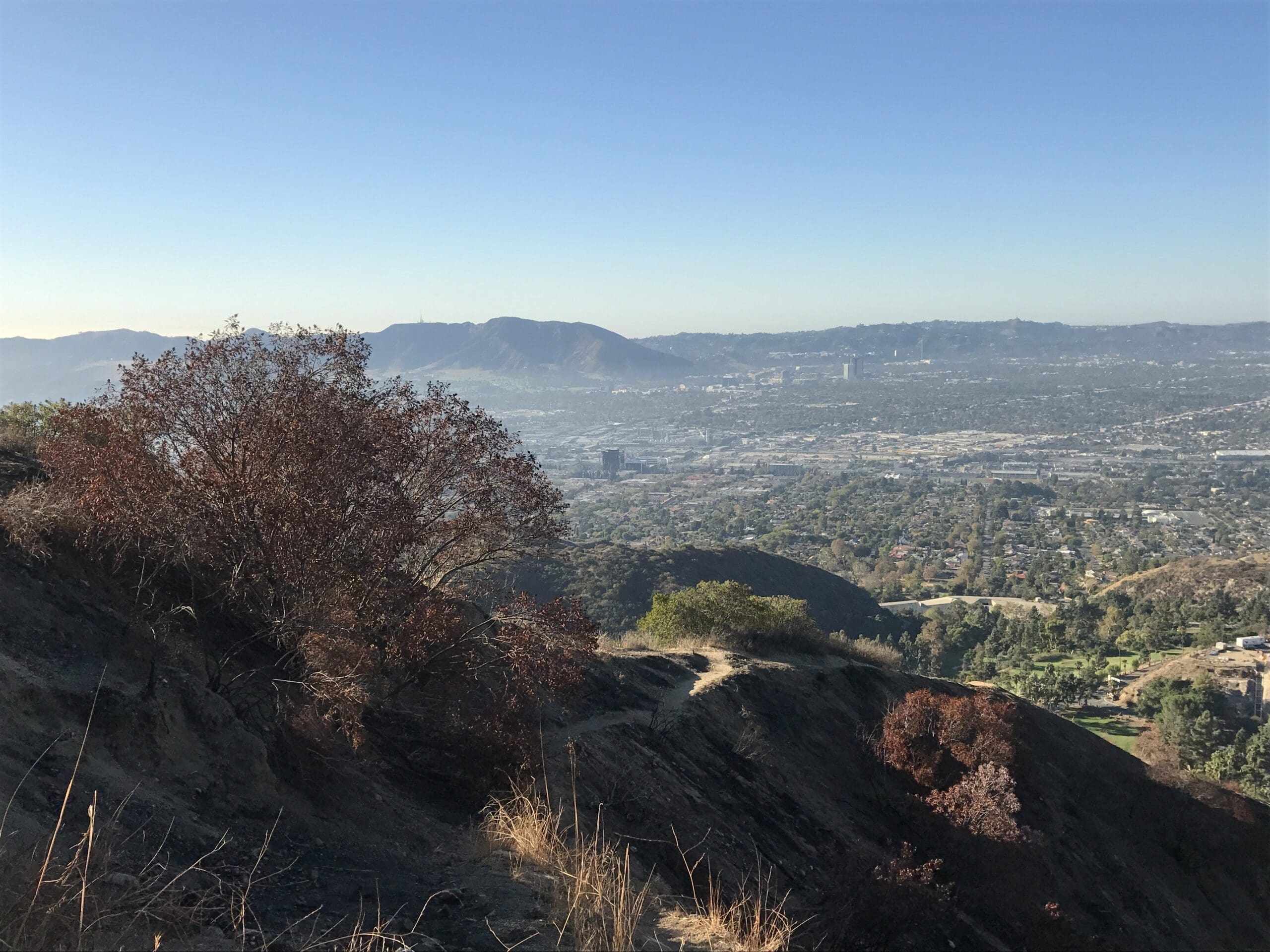
I continue my short trek up the small hill to snap some more photos of the landscape, along with some bushels of trees that show off the autumn beauty of the canyon.
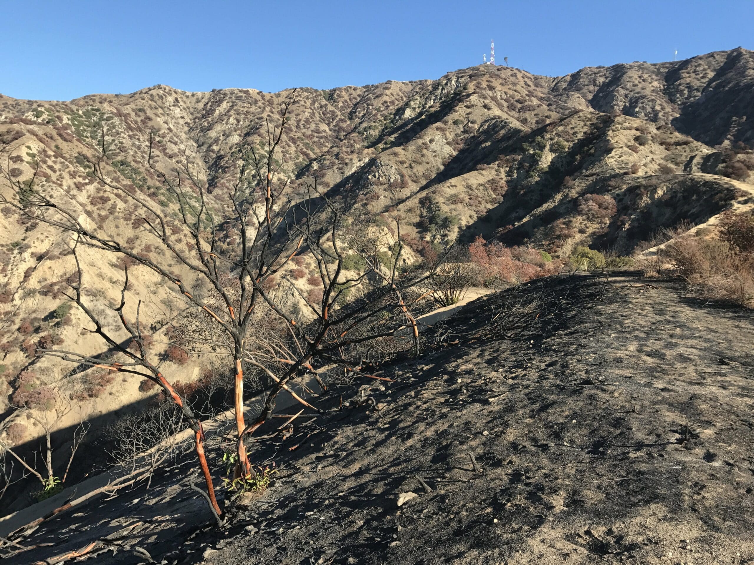
Nestled within the deep black soil of this small hill were several more trees that appeared to be peeling, revealing its true (orange-like) colors.
Must’ve been a hell of a fire.
This would also be a great time to mention the plethora of pits within the soil.
Basically, beware of snakes and other hidden wildlife tucked beneath the burnt grounds.
A Misleadingly Long Climb
I decide its high time to tackle the main trail once more, as I’m eager to see a radio tower up close and personal.
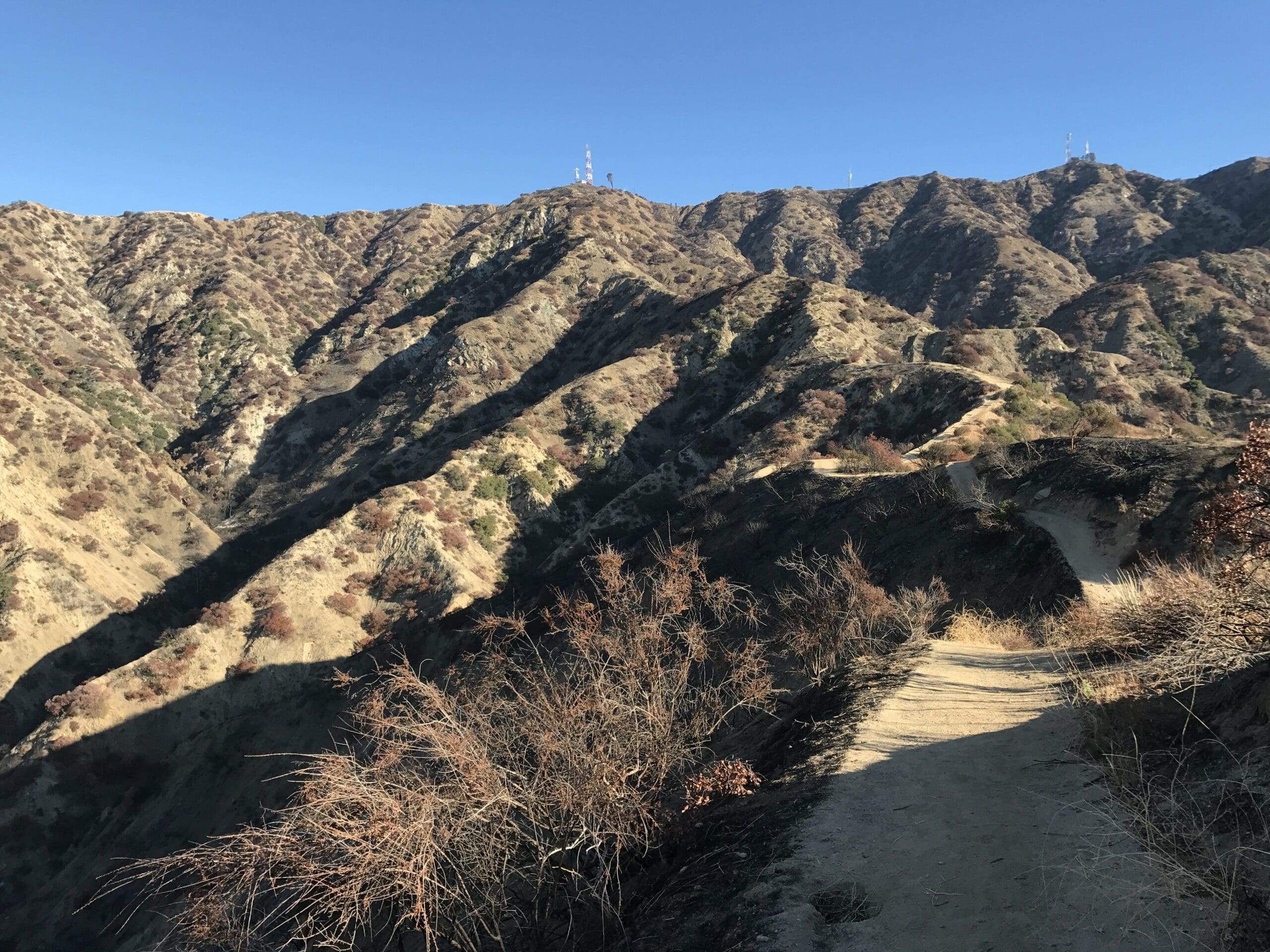
More wooden planks encompass the trail, creating some much-needed leverage for me as the trail became more steep.
I really should stress at this point how deceivingly long this trail really is.
What I thought was only going to take a short half hour ended up lasting well over an hour of a nearly nonstop climb.
I usually don’t mind long, uphill climbs (said no one ever) but I really should have titled this post “The Most Misleading Trail in all of Los Angeles” because just when you think you’re getting close to the top, the trail decides to tack on more mileage.
And I’m being mostly serious.
The trail ascends like a stairmaster from hell, hosting a plethora of sidewinders and switchbacks alongside the shadowy twigs of the desert terrain.
The views were the only thing keeping my sanity in check at this point as I was dying to reach the top of the climb.Several more burnt orange trees greet me along this hell of a climb, overlooking the scenic landscape of Burbank and the surrounding mountain range.
It really doesn’t end (and it only gets even more steep).
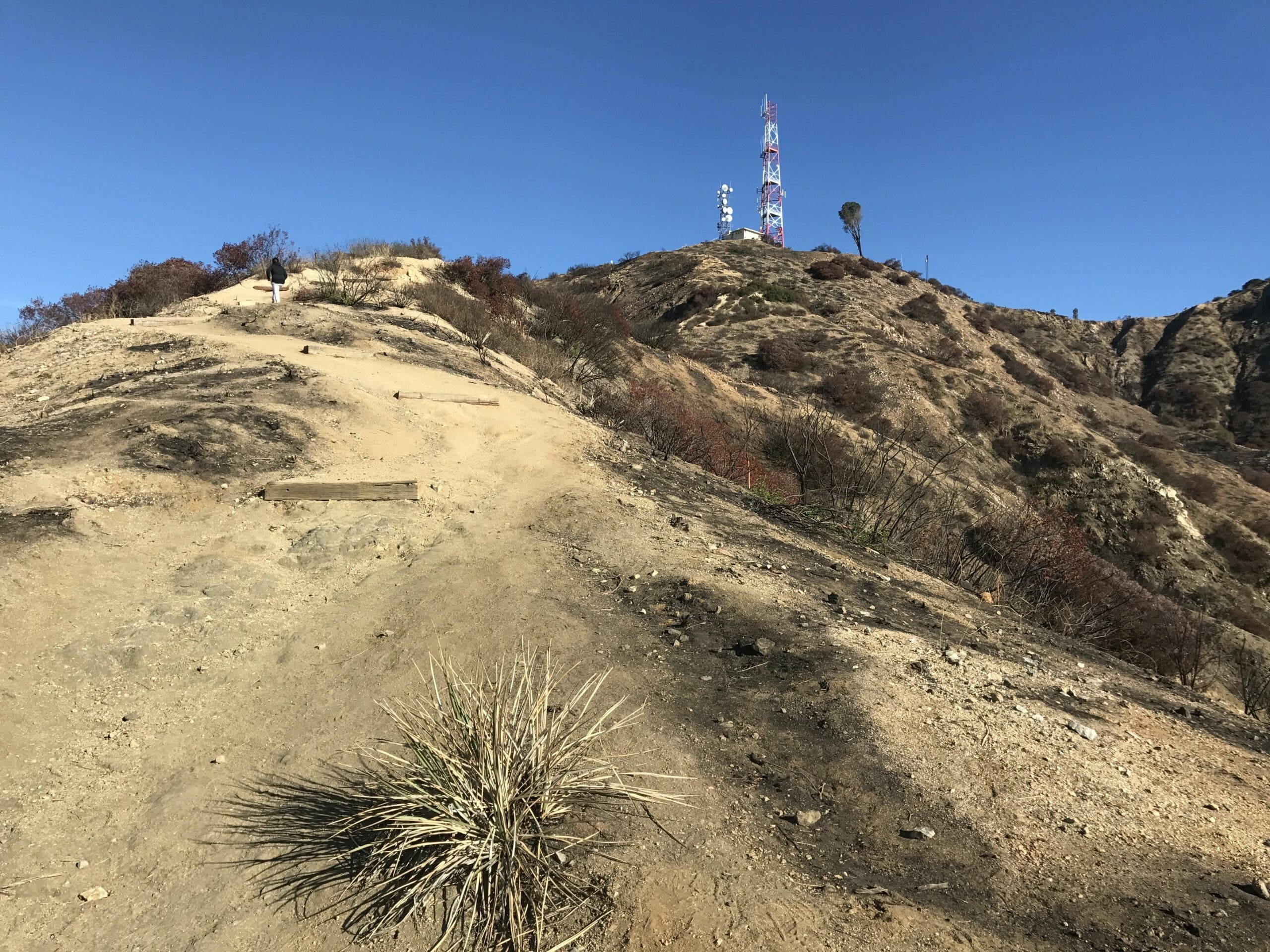
I should also stress how slippery the terrain can be, even upon ascension, so try not to slip as much as I did.
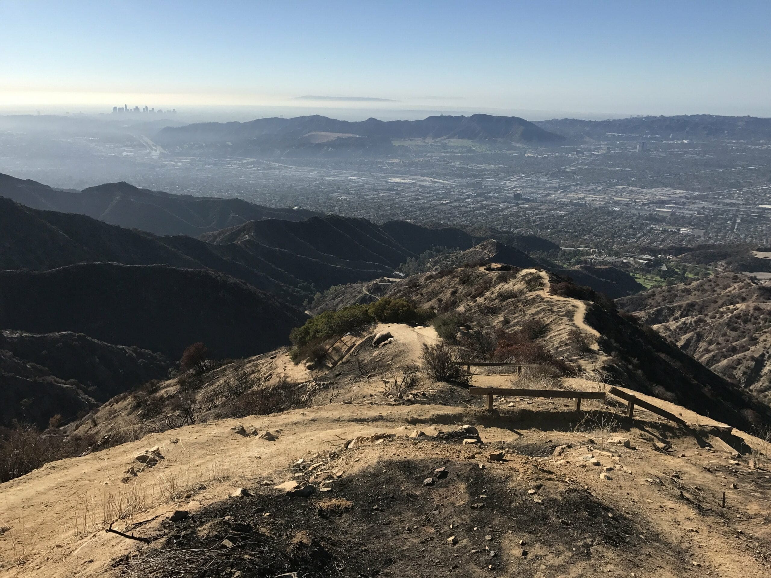
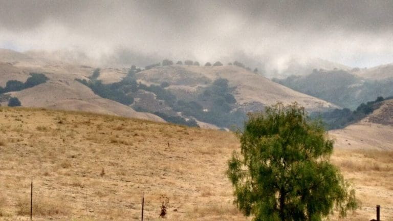
I’m so close to the top at this point as I take note of the foggy mist that engulfs downtown Los Angeles and beyond. (Can you spot the island?)
After climbing through Dante’s Inferno, (it sure as hell felt like it) I make my way to the top of the hill.
Boy, was I happier than a cat in a box.
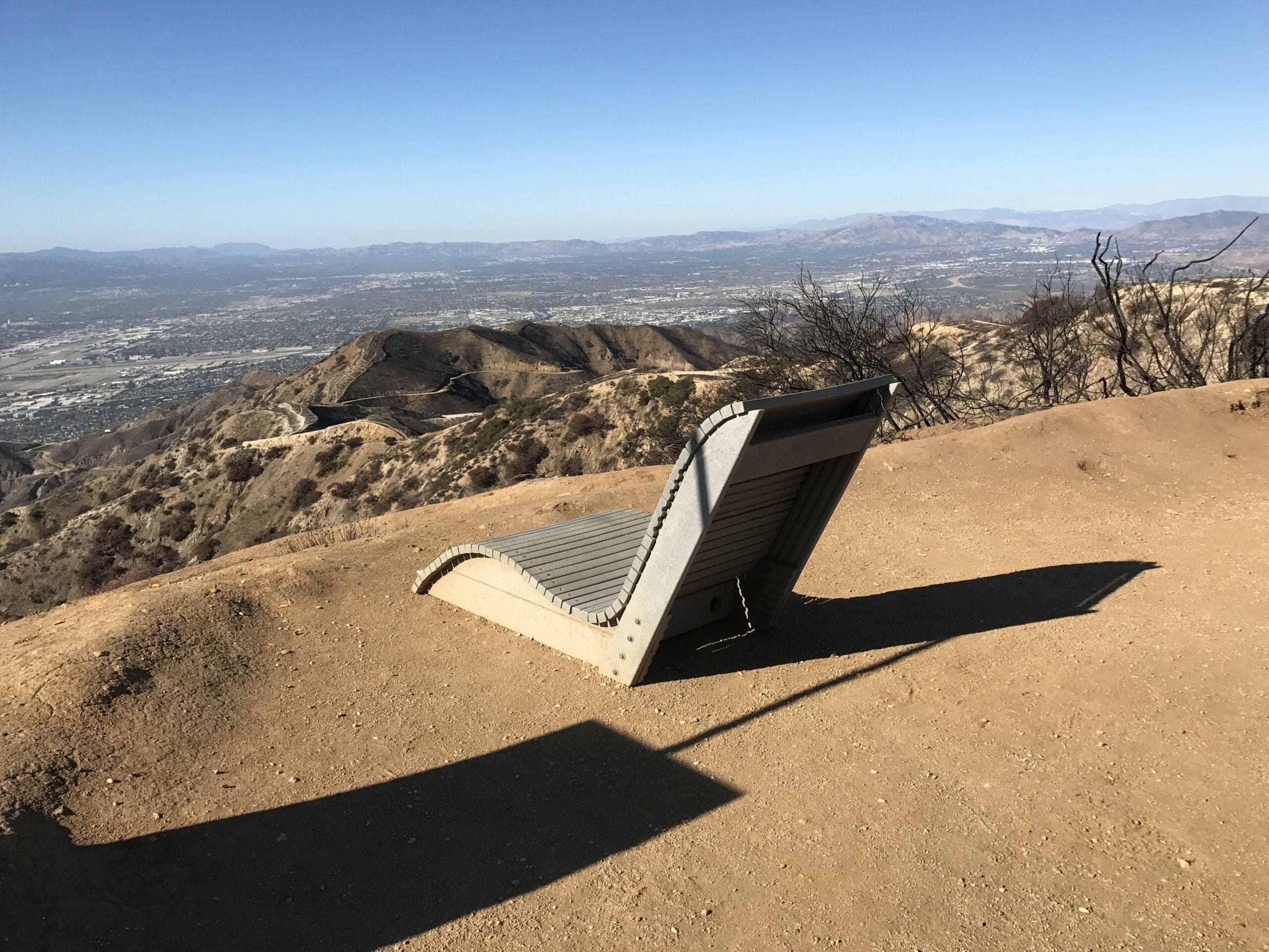
After spending a small amount of time gawking at the views, I wobble like a barely conscious penguin to a lonely chair perched above the gorgeous Los Angeles landscape.
And I’d be lying if I said I didn’t fall asleep on this chair; It was so comfortable and I was so tired.
Let’s just say I collapsed on this chair like a bad game of Jenga…
Radio Tower #1
About a half hour later, I decide it’s high time to explore what I originally came here for: The first radio tower.
The surrounding perimeter was fenced off (shocking) but I didn’t care; I was just happy to have made it to the top of the hill without collapsing.
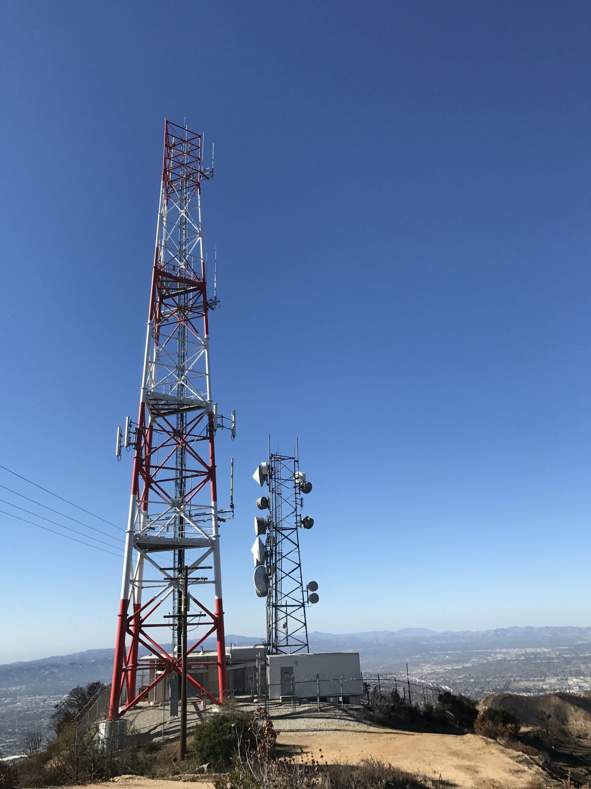
Pisa called, they want their tree back:
After briefly exploring the perimeter of the radio tower sector, my overly ambitious gears start turning once more, causing me to continue my trek to the remaining radio towers.
(I was originally going to turn back once I made it to the top of the climb.)
Luckily the hard part of the hike was over, as the trail leveled off from a steep climb to a (mostly) flat walk in the park.
So long radio tower #1…for now…
A Walk in a (Burnt) Park
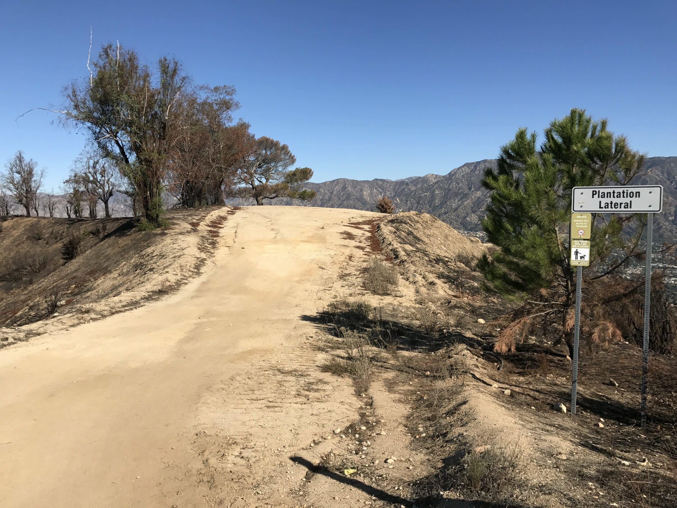
Beyond the prior radio tower lied another burnt piece of land, containing a plethora of survivors (aka trees, which stood heroically to represent their valiant efforts in the brush fire battle).
This sector seemed to be the most damaged compared to any other part of the site.
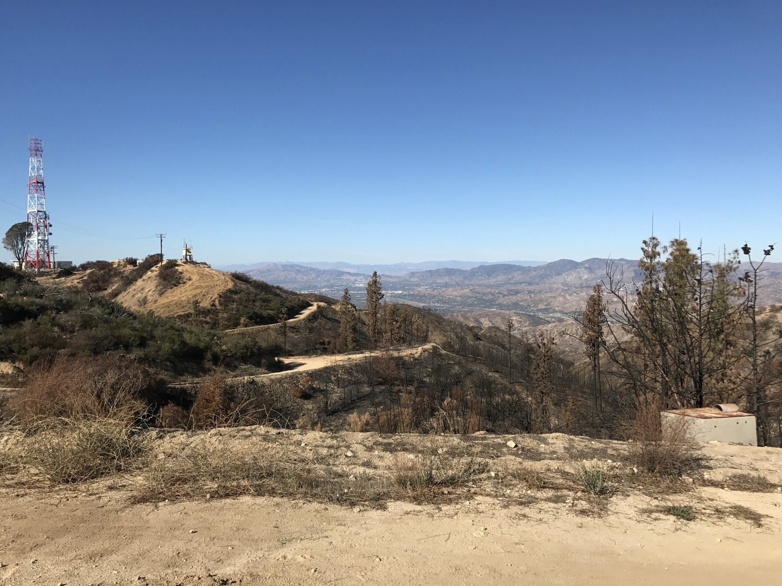
I decide to venture off into a small tangent of the hike, because why not at this point?
The wise tree (as I so fittingly named) catches my eye as I see a glistening piece of treasure beneath it that pulled me in like a magnet.
Do you see it?
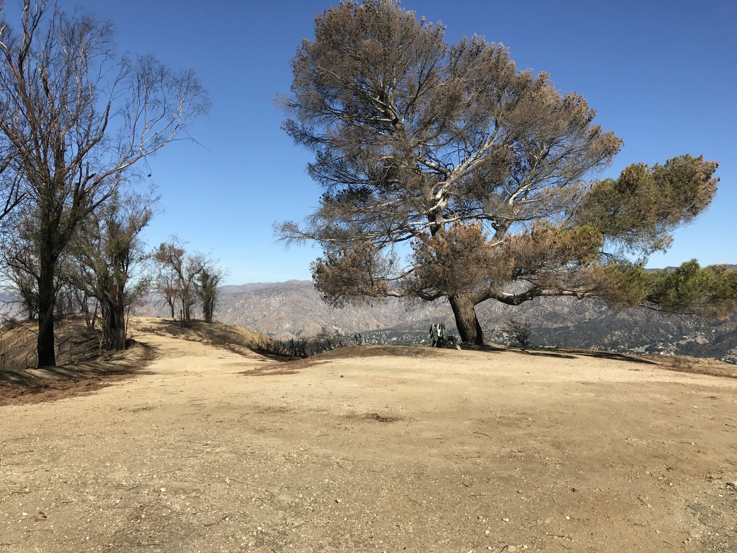
Yes my friend, that glistening piece of treasure is in fact a bench.
And you know you’re tired when you think so highly of a park bench.
In case you’re curious, the mountain range you see here is facing toward the northeastern part of Burbank. (I know that was a burning question on your mind.)
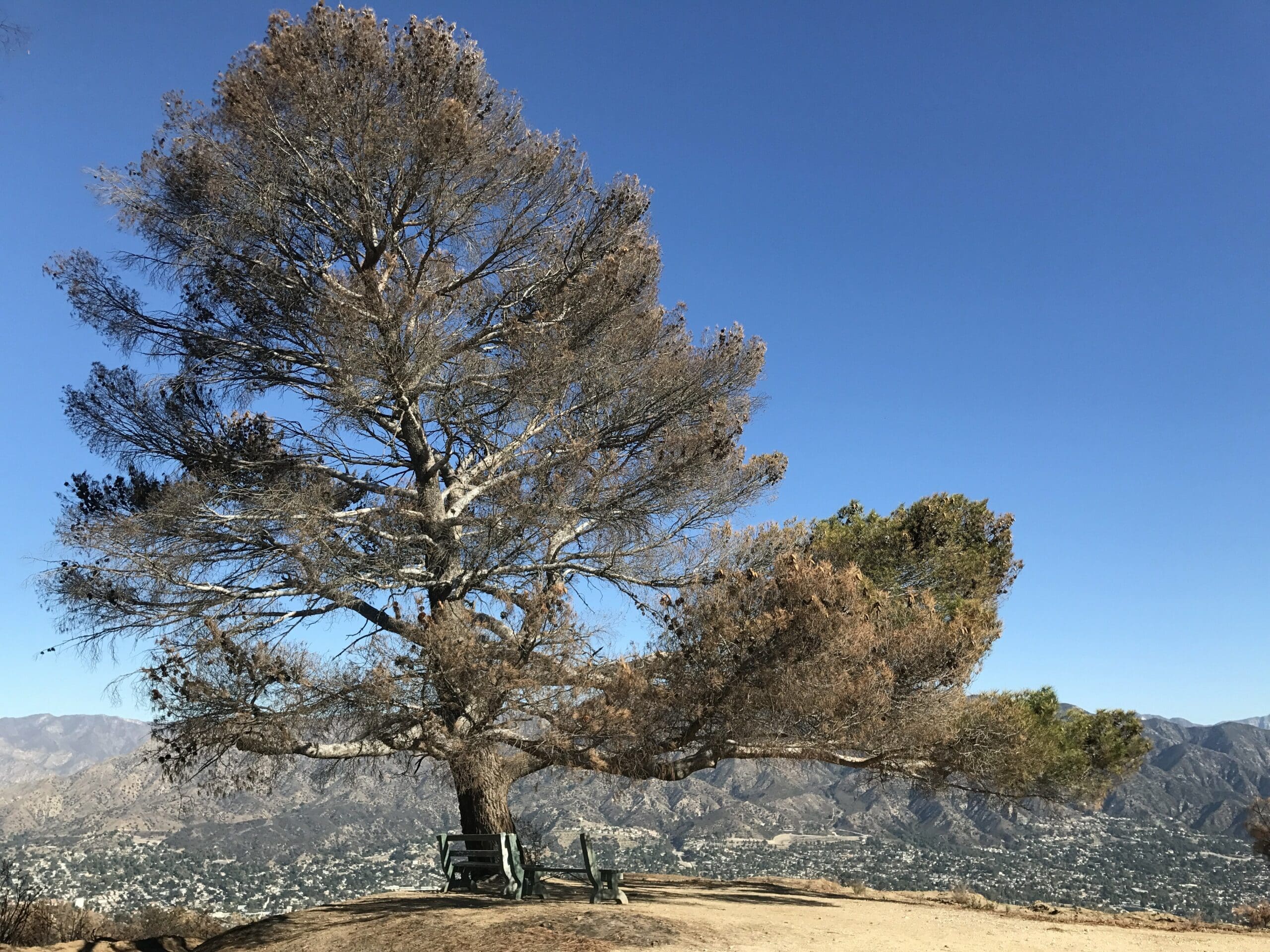
The view from my backyard (I wish). I spent quite a bit of time pondering about my life here.
After spending some more time snapping photos, I turn back around to continue my quest of seeing the remaining radio towers.
Radio Tower #2
The second radio tower wasn’t too far from the burnt park, but it did require a short climb upon a steep, off-trail dirt road.
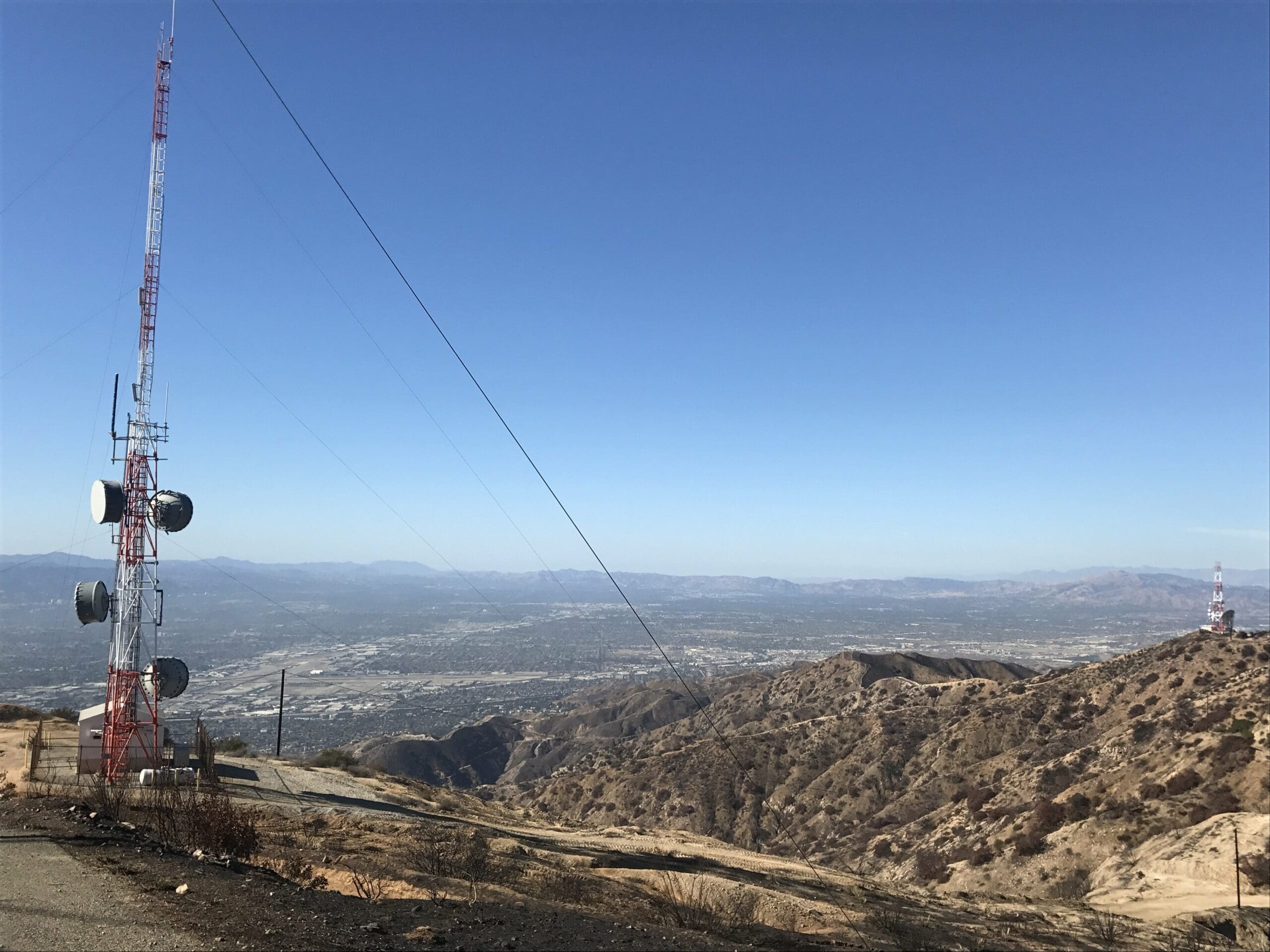
After a long, arduous battle with the 100 foot dirt road, I make my way up to the second radio tower.
And what a view I was rewarded with.
You can even see the first radio tower from here.
“This is going to be a hell of a trek back,” I thought.
But I’m a nutcase, so I continue to the third radio tower.
Radio Tower #3
I continue along the flat trail under the high noon sun, as I quickly approach the third radio tower.
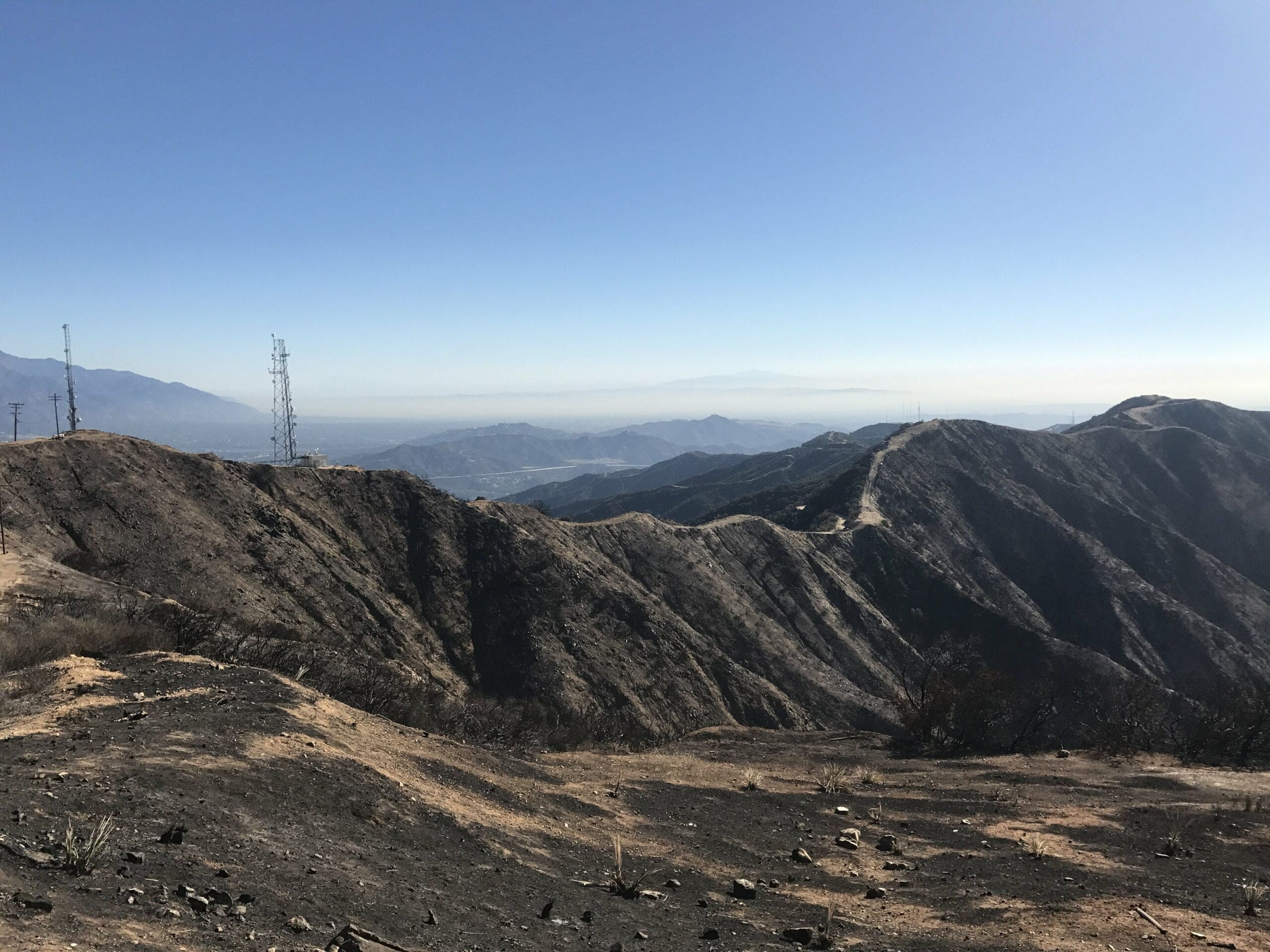
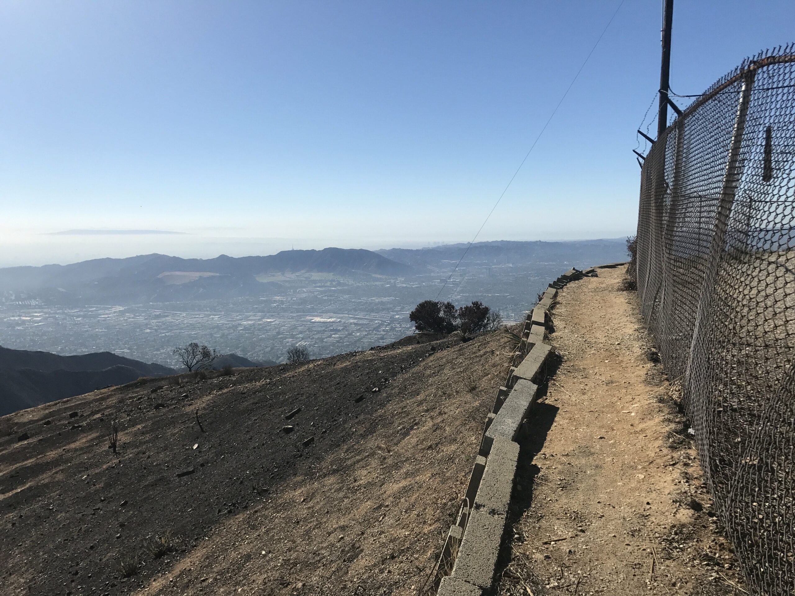
Getting around the perimeter of the fence was tricky with the third radio tower, as it was perched atop a steep, slippery hill with the main trail about 400 feet below.
To get around this, you have to carefully grasp the rusty fence (have your Tetanus shot ready) as you maneuver around the top of the hill.
Just don’t slip, as the fall is quite steep and slightly lethal. And let’s just say this hike isn’t really brimming in popularity, if you catch my drift.
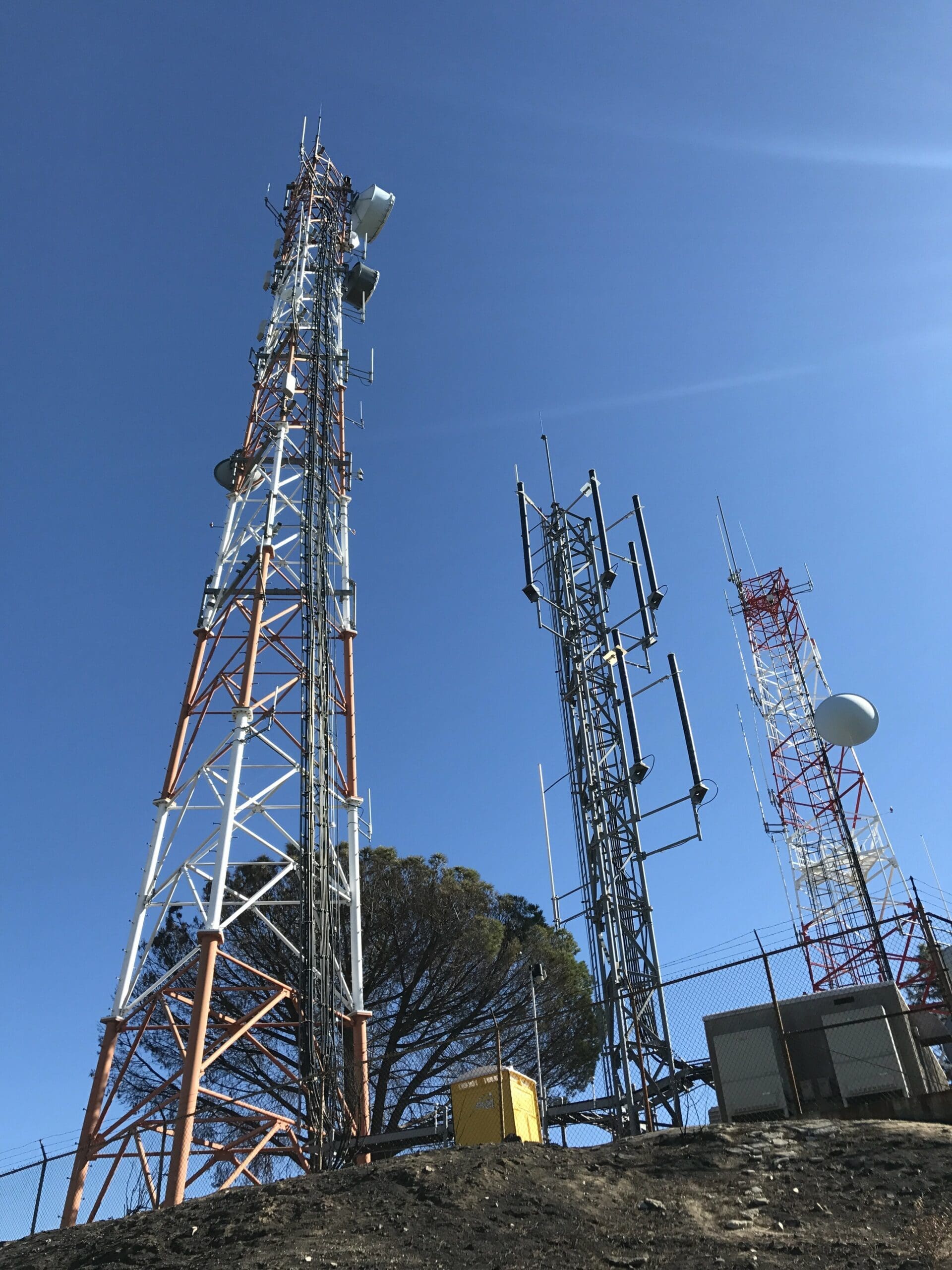
After a slightly dangerous climb around the fence, I start heading toward the final boss of this hike: The fourth radio tower.
Radio Tower #4
Luckily the distance between the third and fourth radio was relatively short, so this made for an easy trek to my final destination.
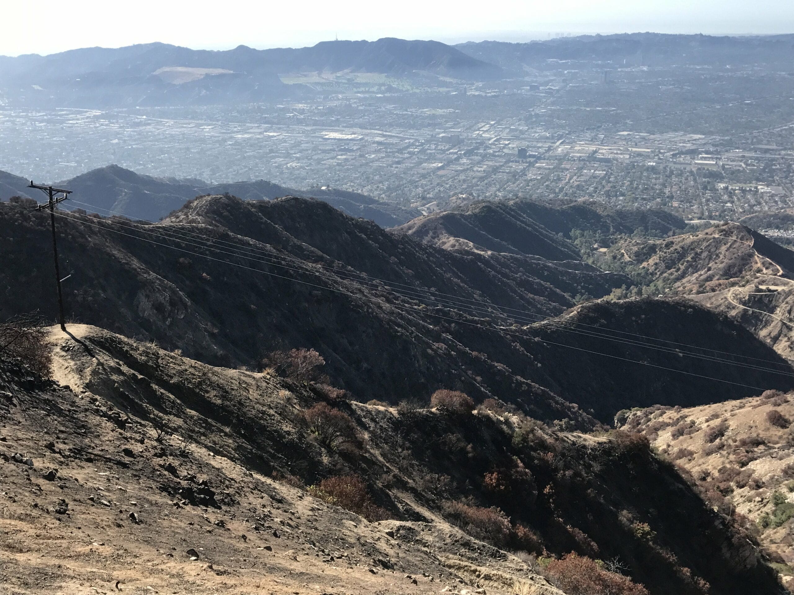
The view from a coliseum of some sort. This is where they filmed Gladiator by the way.
(I’m praying that my sarcasm is coming through to some extent at this point).
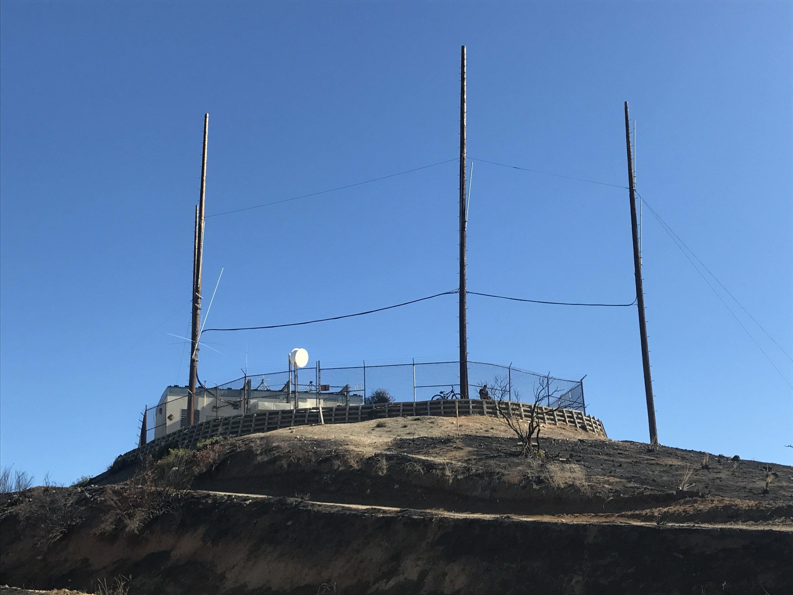
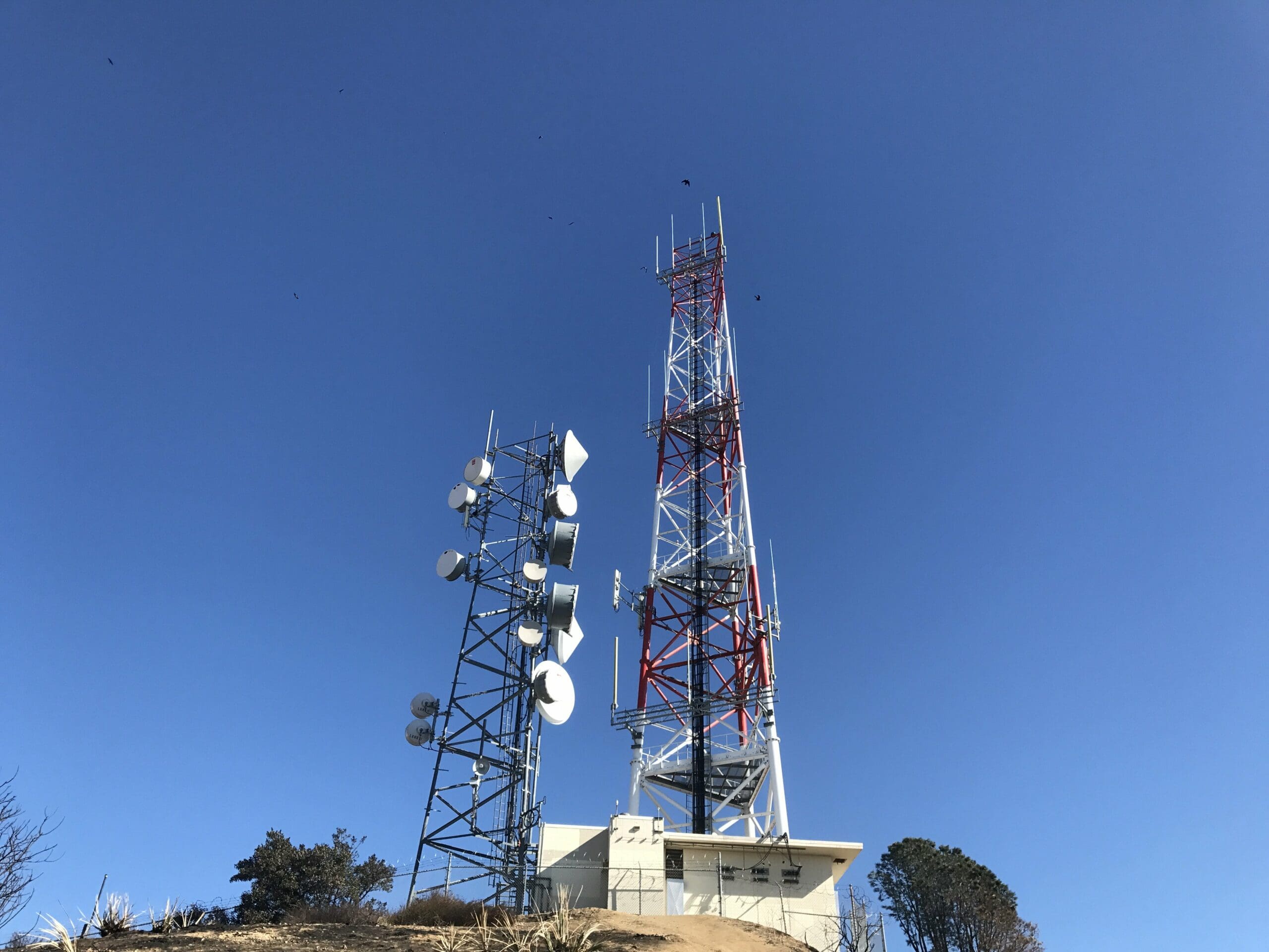
I finally reach the fourth radio tower, go me!
After exploring the surrounding perimeter of the fourth tower, I make my way toward the neighboring coliseum.
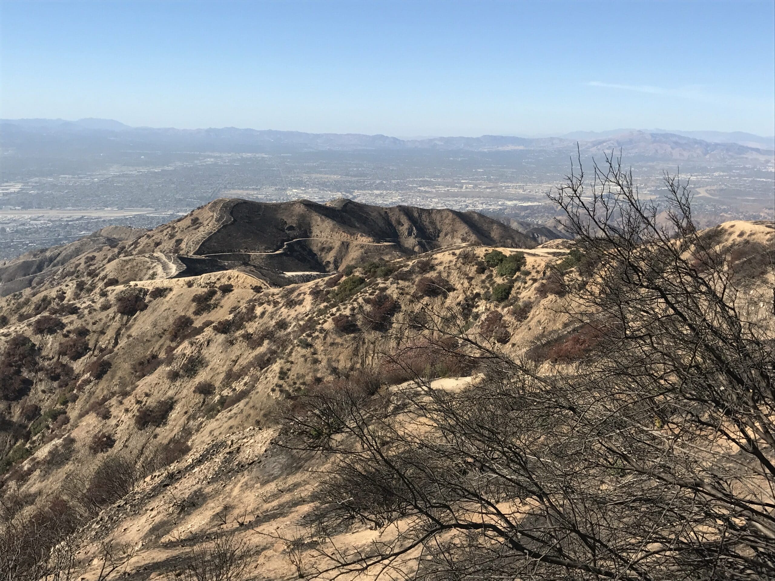
The view from the “coliseum,” which contained heightened fences to protect us from the Gladiator tigers.
You can walk around the perimeter of the fence, which was one of the highest point of Wildwood Canyon.
The Long Trek Back
I debate on whether or not I should descend down an unfamiliar trail, risking a longer route back to my car, or if I should double back on the main trail that I came from.
I choose the latter of course. (I’m too tired at this point to risk getting lost.)
And so, I begin the long hike back through all of the radio towers, and back down the steep trail toward the beginning of Wildwood Canyon.
Just to reiterate, the descent leading from the first radio tower is quite steep, so proper shoe attire would be a wise investment.
I failed to adhere to this, (Chuck Taylors ftw) so I slipped and almost fell numerous times during the trek back down.
After descending down the steep trail, I begin to make my way through the initial switchbacks…the end was near!
Except for the fact that I took a slightly different trail back.
For some reason beyond my current state of comprehension, I decided to risk going down a trail that forked off from the main trail, thinking that it would be a shortcut to my car.
Long story short, it led to nowhere.
Well not “nowhere” per se, but it was leading back toward the fourth radio tower.
And that was nope territory that I was not willing to enter, especially after just coming from that same direction!
I double back toward the main trail, and after spending nearly the same amount of time going up as I did descending, I finally collapse in my car.
Total time spent hiking: about four and a half hours. I started at roughly 8:30 am and got back to my car at around 1:00 pm. (Spoiler alert: I slept like a baby when I got home.)
Implications of Wildwood Canyon’s Burnt Scars
A long, traffic-induced drive lay ahead of me as I turn the ignition on, feeling a small sense of joy that I conquered a relatively long hike after literally running off of fumes.
I began replaying the entirety of the hike in my mind, drawing some sort of analogy between aspects of the hike and human beings.
Maybe it was my half-conscious state of mind, but I saw a societal representation of the damaged state of the terrain during that morning climb.
Even though the naturalistic elements of the canyon were stripped of its home, the residents of the land (aka the trees) stood proud and heroic within its environment, much like people during times of war.
To me, the real beauty of Wildwood Canyon lies in its symbolic beauty of man versus wild, and mother nature’s constant struggle to survive.
The terrain’s burnt scars also reinforced the idea of rebuilding one’s self in the constant pursuit of growth toward an idealistic sense of self-worth in life.
Or this could just be an ordinary hike that I completely misinterpreted because my mind was half asleep.
Now the real question becomes: Why haven’t you ventured here yet?
FAQs
Question: Are dogs allowed at Wildwood Canyon
Answer: Yes, Dogs are allowed but must be on a 6 foot or shorter leash at all times. Please clean up after your dog and remove all waste.
Question: Is Wildwood Canyon open?
Answer: The park is open from 7:30 am to Sunset. You can call the park office at 916-653-6995 to inquire based on weather and environmental conditions.
Pin It!
Thanks for checking out our photo journal of this awesome Wildwood Canyon Park. We’d love to hear your comments and your story about visiting this trail. Post your comments below!



great article and very accurate. it is pretty much a continuous climb. when i was in good shape i could make it up in just over an hour. i tried it again during the laste morning last summer and made it 90% up before it just got too hot. there is almost no shade, so earlier in the morning is best. many people, including me, have found the descent to be quite steep and can take a toll on knees and leg muscles. also worth mentioning that many of the steep sections have an alternate path clearly visible.