Hiking Mount Snowdon: UK’s Most Visited Mountain
Mount Snowdon, or Yr Wyddfa in Welsh, is the highest mountain in Wales and the most visited mountain in the UK. The great attraction of Snowdon is that there is a route to the top that suits all abilities. In fact, it even has a railway line to the summit for those who are unable (or unwilling) to hike one of the 6 main routes that lead to the top. Located in Snowdonia National Park the summit stands at 1085m (3560ft), making it the highest mountain in the British Isles outside of Scotland.
Formed originally from volcanoes and then sculpted by glaciers, the cliffs on Snowdon are also extremely popular with climbers. Edmund Hillary used them when he was preparing for his ascent of Mount Everest in 1953. One of the circular routes that can be combined to summit Snowdon is called the Snowdon horseshoe and is arguably the best ridge walk in Great Britain. Whilst Snowdon may not be that high, in comparison with mountain ranges in the rest of Europe, it is definitely a challenging and beautiful hike to undertake. Looking for more hikes in Wales? Check out this guide to hiking Pen Y Fan.
My time on Snowdon
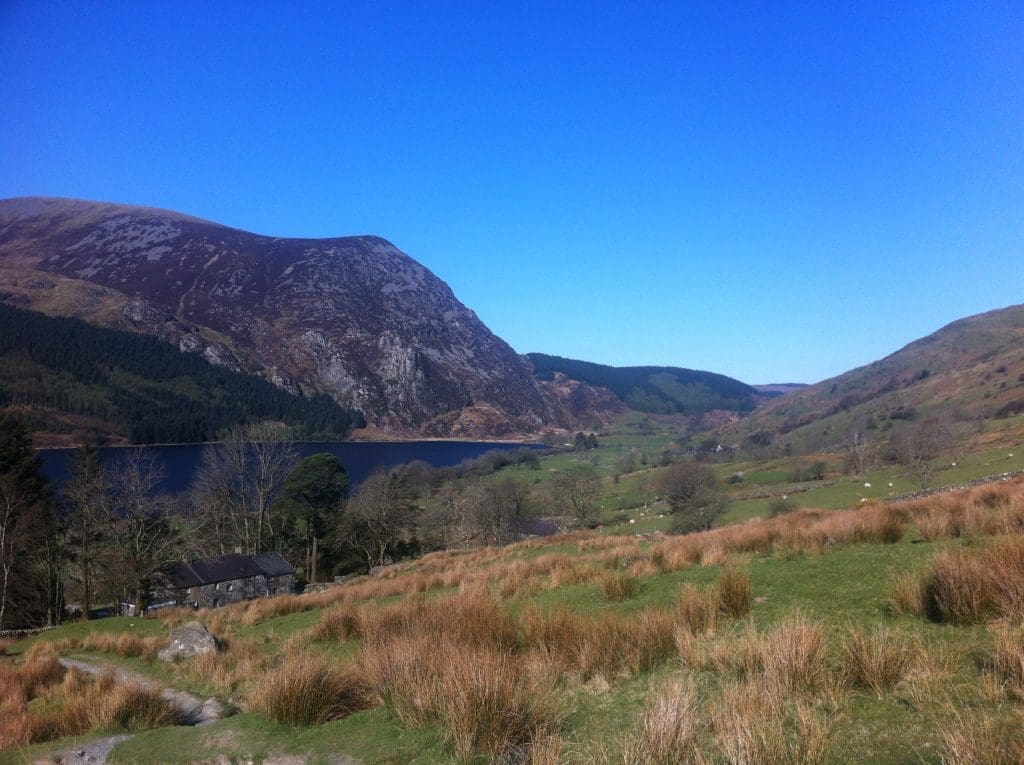
As a native Welsh person its only right that I should have summited Snowdon and I have done so on two occasions. First in 2015 and then again in 2017. The second time I hiked Snowdon was part of the National Three Peaks Challenge. In this challenge participants are required to hike to the summit of Ben Nevis in Scotland, Scarfell Pike in England and Snowdon in Wales, usually in 24 hours. For my group and I, Snowdon was the last of the 3 peaks so we certainly didn’t break any speed records. On this occasion, we hiked up the Pyg Track and hiked down the Llanberis Path. The weather wasn’t particularly kind to us and at the top, we were only greeted with mist and rain.
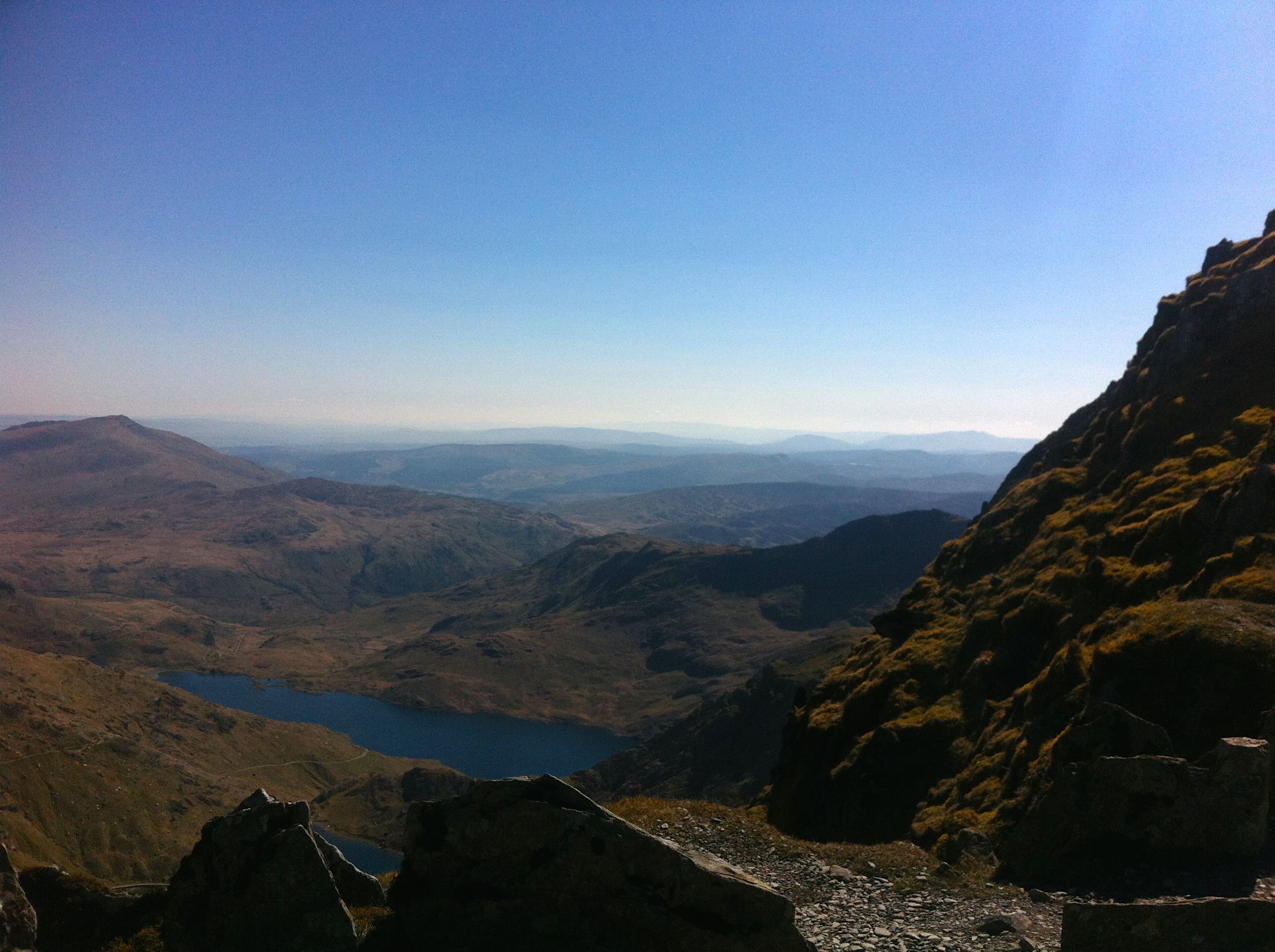
However, during my first ascent in 2015, we were blessed with beautifully clear weather for our entire hike. We encountered only a handful of other hikers on the trail and enjoyed panoramic views at the summit. This out and back trail is one of the quietest routes up Snowdon which is why I recommend it.
The Snowdon Ranger Path
There are 6 main paths to the top of Snowdon: Llanberis Path, Ranger Path, Rhyd Ddu Path, Watking Path, Miners’ Track, and Pyg Track.
Snowdon Ranger Ranger Path
- 8 miles return
- 936m (3071ft) ascent
- 6 hours return
The Ranger path begins rather aptly at the Snowdon Ranger Youth Hostel, near Llyn Cwellyn. (Llyn is the Welsh word for lake) If you are not staying at the hostel you can park your car at the pay and display car park nearby. Following signs for the bridleway, the path gradually begins its ascent up the hillside.
After 1km the path splits. Going straight ahead will keep you on the Ranger Path whilst taking the left branch will lead you to the town of Llanberis. The trail is now well marked and easy to follow to the summit. After a further 2km, the path starts to get steeper and rockier until you eventually reach the ridge.
Upon reaching the ridge you will encounter the Snowdon Railway Line for the first time. You must cross this line to continue the final hike to the summit. Stone markers indicate the joining of the Llanberis Path which you will now merge onto. A little further on there is another stone marker showing the joining of the Pig Track and as these 3 routes become one, the trail can get a little busy.
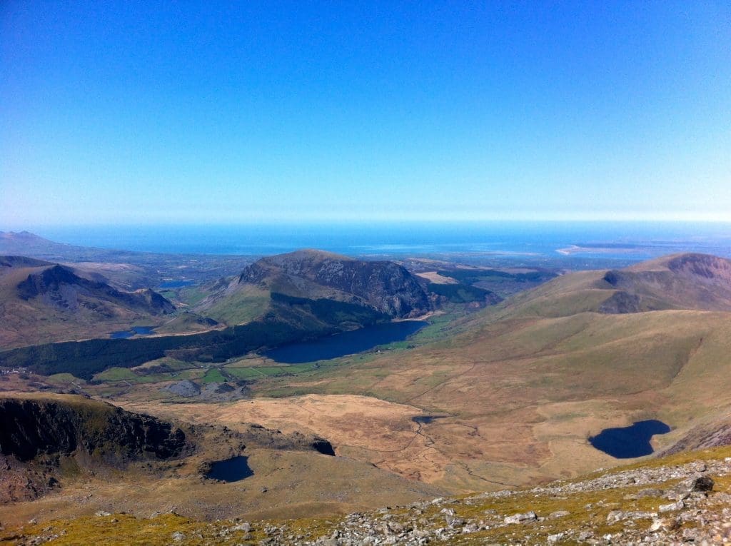
From here it is only a few hundred more meters to the summit cairn. On a cloudless day, the reward for reaching the top are views as far as Scotland, Ireland, and England. During the busy Summer months, you can enjoy refreshments at Hafod Eryri, the highest re-fuelling station in England and Wales. During bad weather when the train doesn’t run the cafe will also remain closed.
For the descent simply retrace your steps back down the ridge. Once you see the marker for the Llanberis Path, bear left to rejoin the Snowdon Ranger Path. Crossing back over the railway track, the path to the hostel is obvious and once again peaceful.
When to visit
If you want to avoid the crowds then it’s best to stay clear of Snowdon on public holidays and weekends. If you plan your visit mid-week you will no doubt have a much quieter mountain to enjoy. If you are prepared to hike in “bad” weather it will be even quieter as the train won’t be open on these days.
What to take
The English name for Snowdon comes from the Old English words meaning “snow hill”. Although Snowdon doesn’t receive as much snow as it once did the slopes still have one of the wettest climates in Great Britain. So, it’s best to take a rain jacket no matter what the weather forecast says! It’s also advisable to take some warm layers for the summit as it can often be cold and windy. Solid hiking boots are necessary and a map and compass is recommended and if you enjoy electronic trackers then a tracking GPS app is great to record, plan, track and map your adventure.
Pin this: Mount Snowdon Hiking Adventure – Save & Share
