
Tranquil Arroyo Pescadero Trail Hike in Whittier Woods
Sometimes you don’t need to summit a mountain or hike among tourists in an overly populated trailhead to have a great hiking experience. Sometimes, it’s better to seek out the undiscovered trails, the underdogs of the hiking world with their own hidden gems to explore. And that’s where the Arroyo Pescadero trail comes into play.
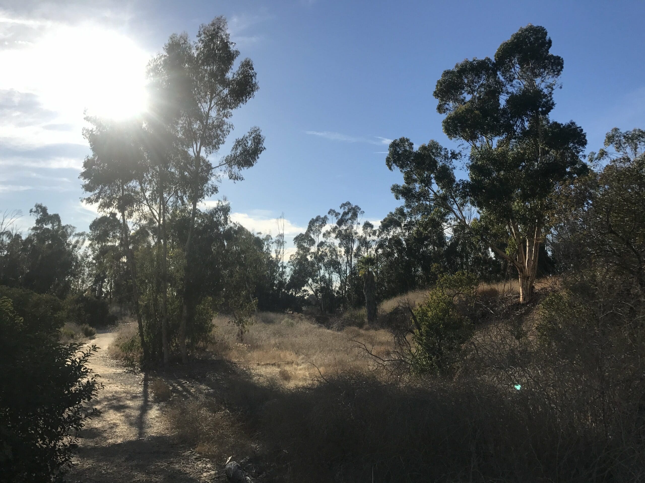
Arroyo Pescadero Trail
At a glance, it’s a seemingly short hike that loops through the Puente Hills Preserve in Whittier, CA, which consists of three trails:
- Arroyo Pescadero Loop Trail: 2.0 miles, 180 feet elevation (loss) gain
- Arroyo San Miguel Trail: 1.8 miles, 360 feet elevation gain
- Deer Loop Trail: 0.8 miles, 20 feet elevation gain (that’s way too high)
Since this hike is mostly nestled in a forest, don’t make this one a priority if you want to see epic city views like the ones in Griffith Park and Wildwood Canyon.
On the contrary, it’s a place to explore when you want to get away from city life. A quiet, peaceful setting that almost forces you to transition into a meditative state of mind.
And that’s the beauty within this underdog of a trail.
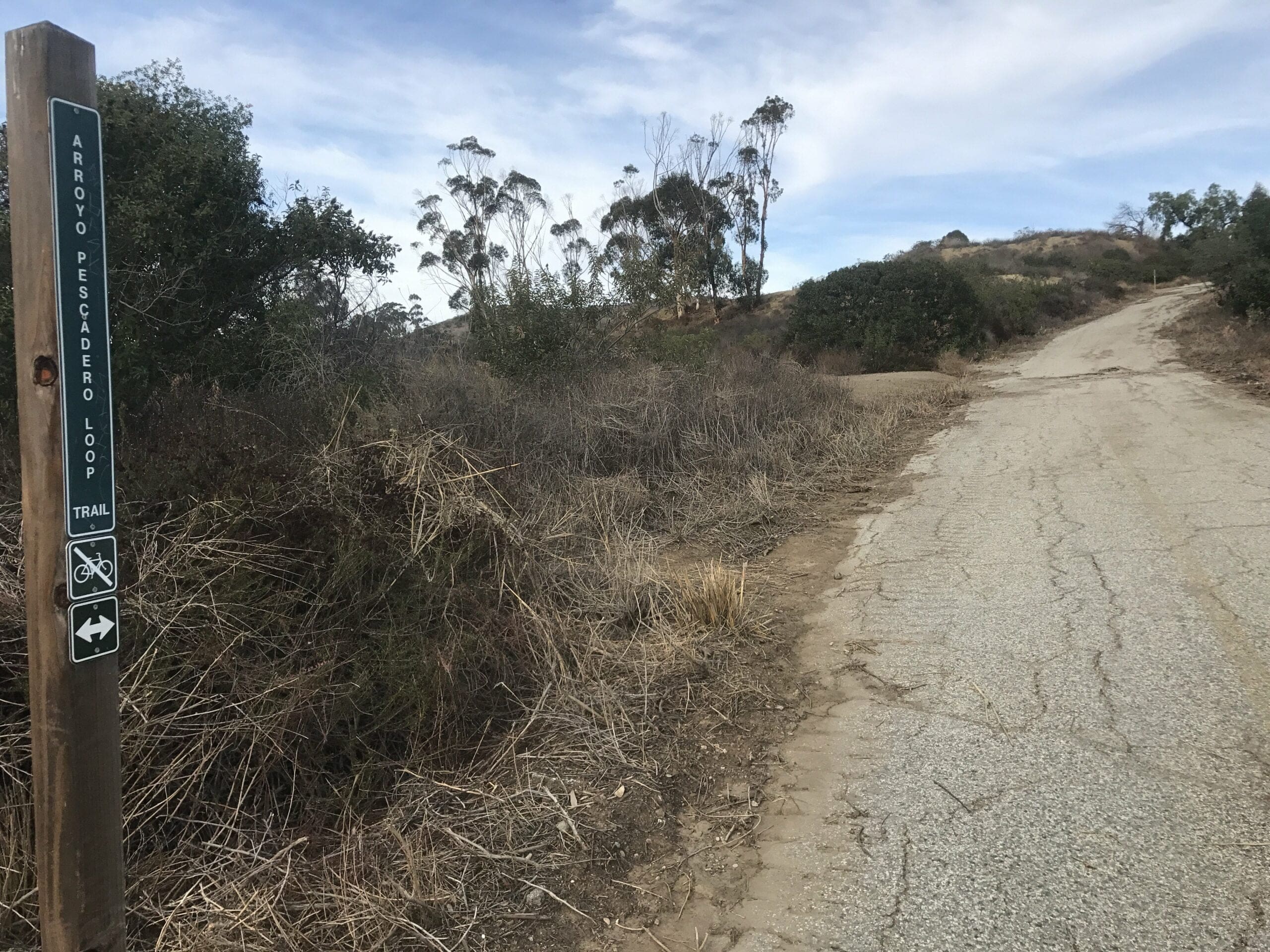
Arroyo Pescadero Loop Trail
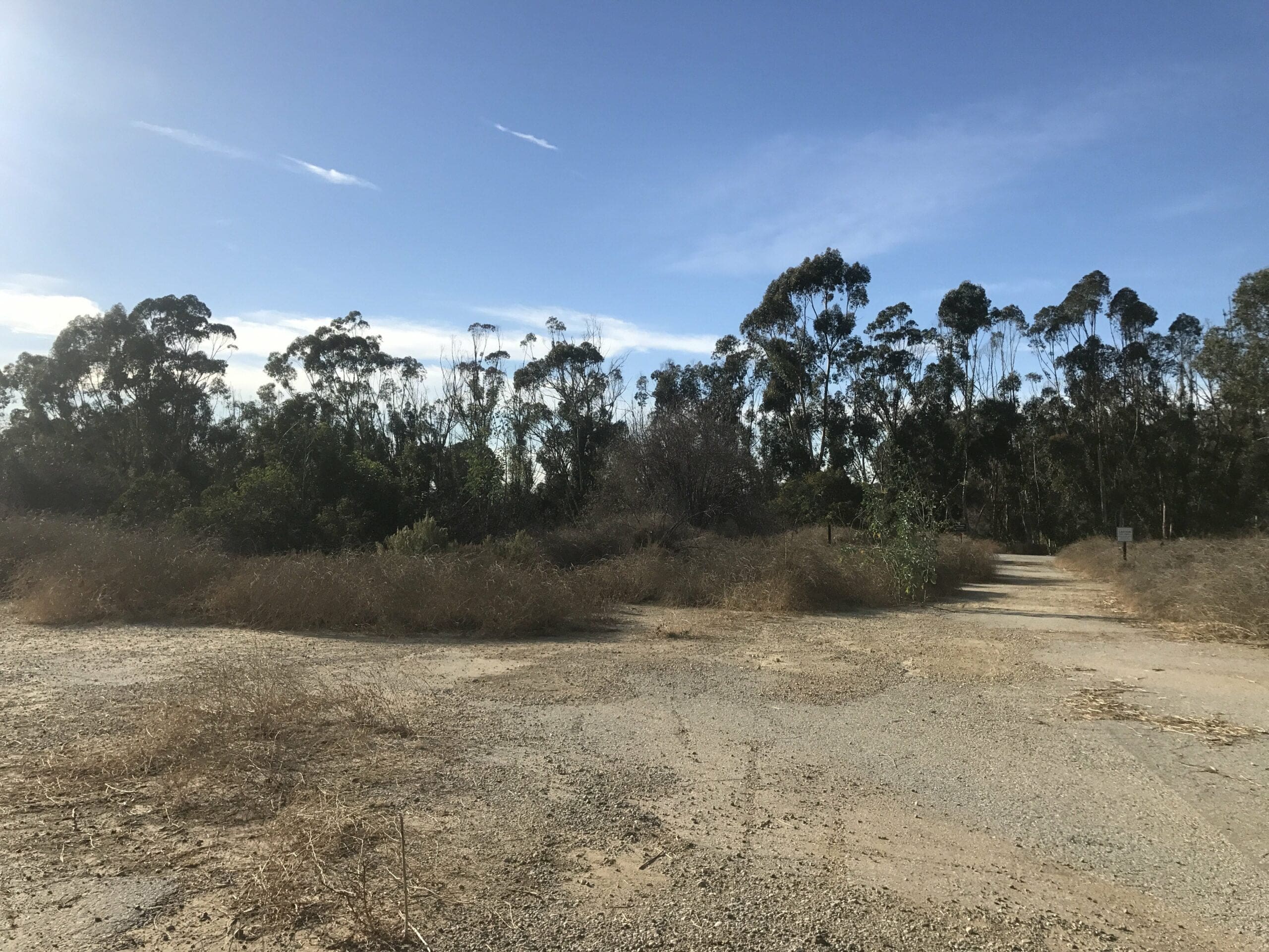
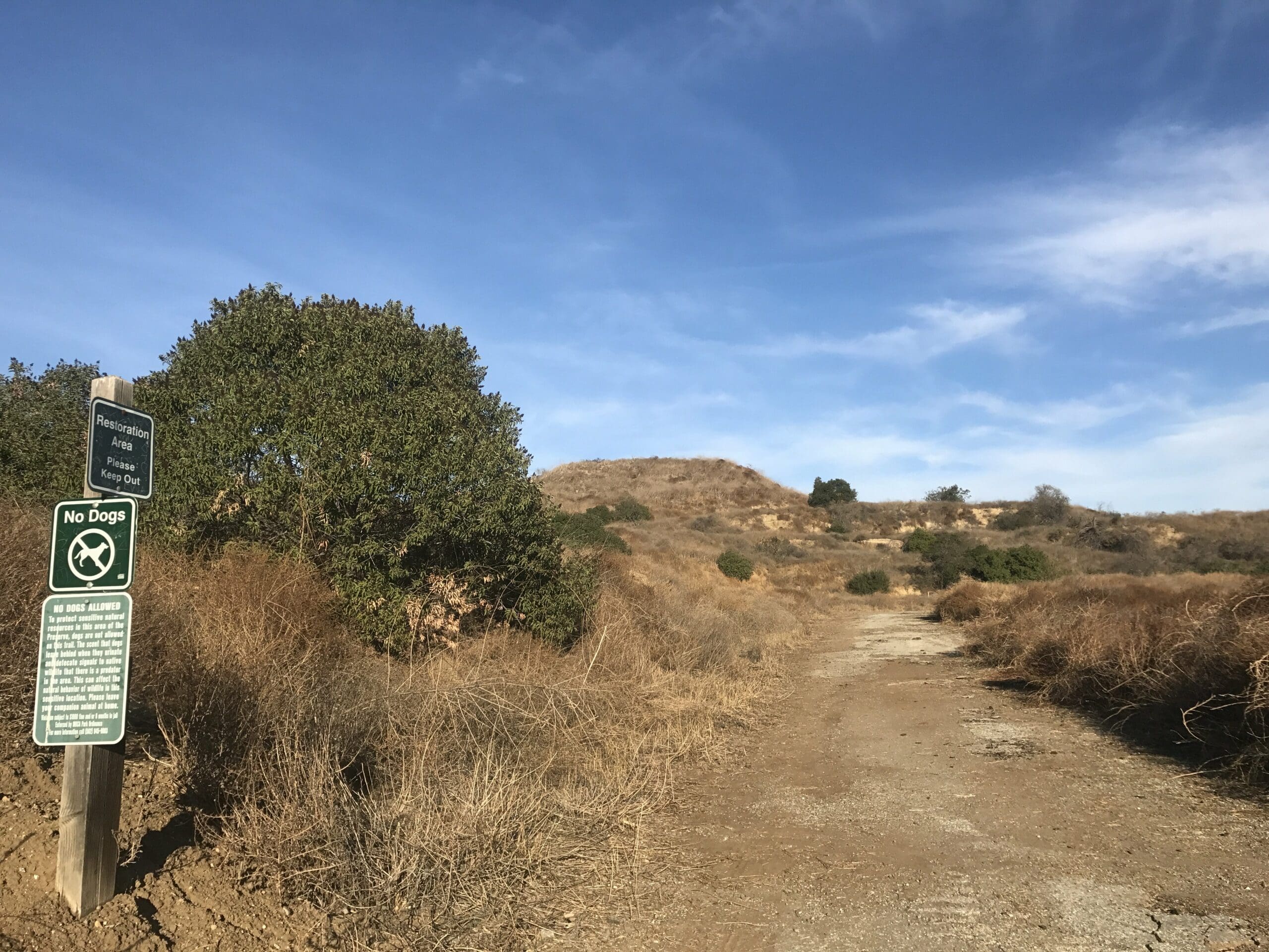
The trail starts off with a short flight of stairs that ascend up to the main loop, which fork off into several smaller trails.
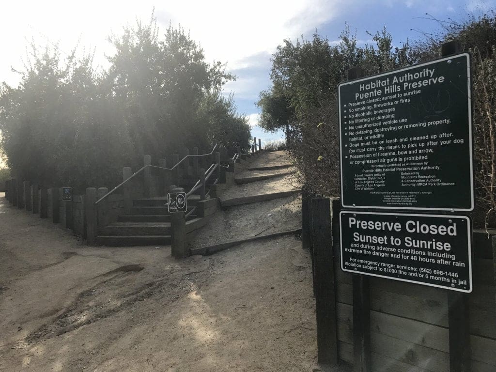
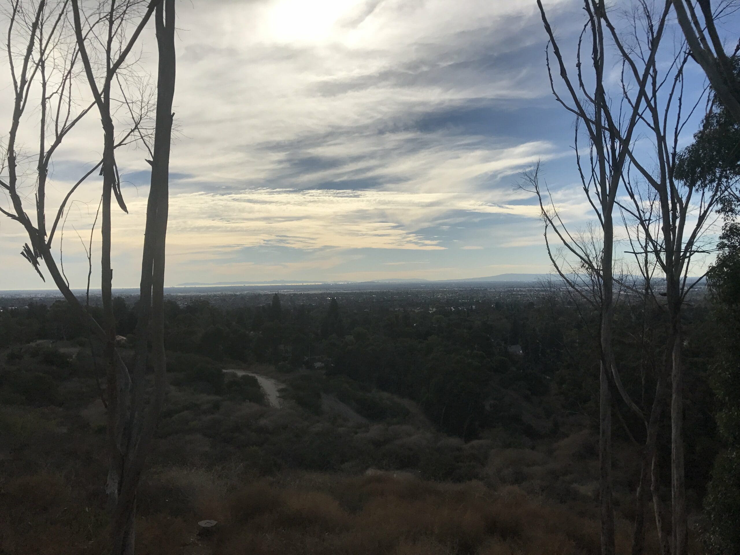
These (very short) trails loop back around to the main trail head and consist of park benches, a welcoming wildlife sign, and the only views of civilization you’ll see for a while.
I’m still waiting for the day where I come across a hungry mountain lion or vulture. The only wildlife I came across on this trail was a baby lizard.
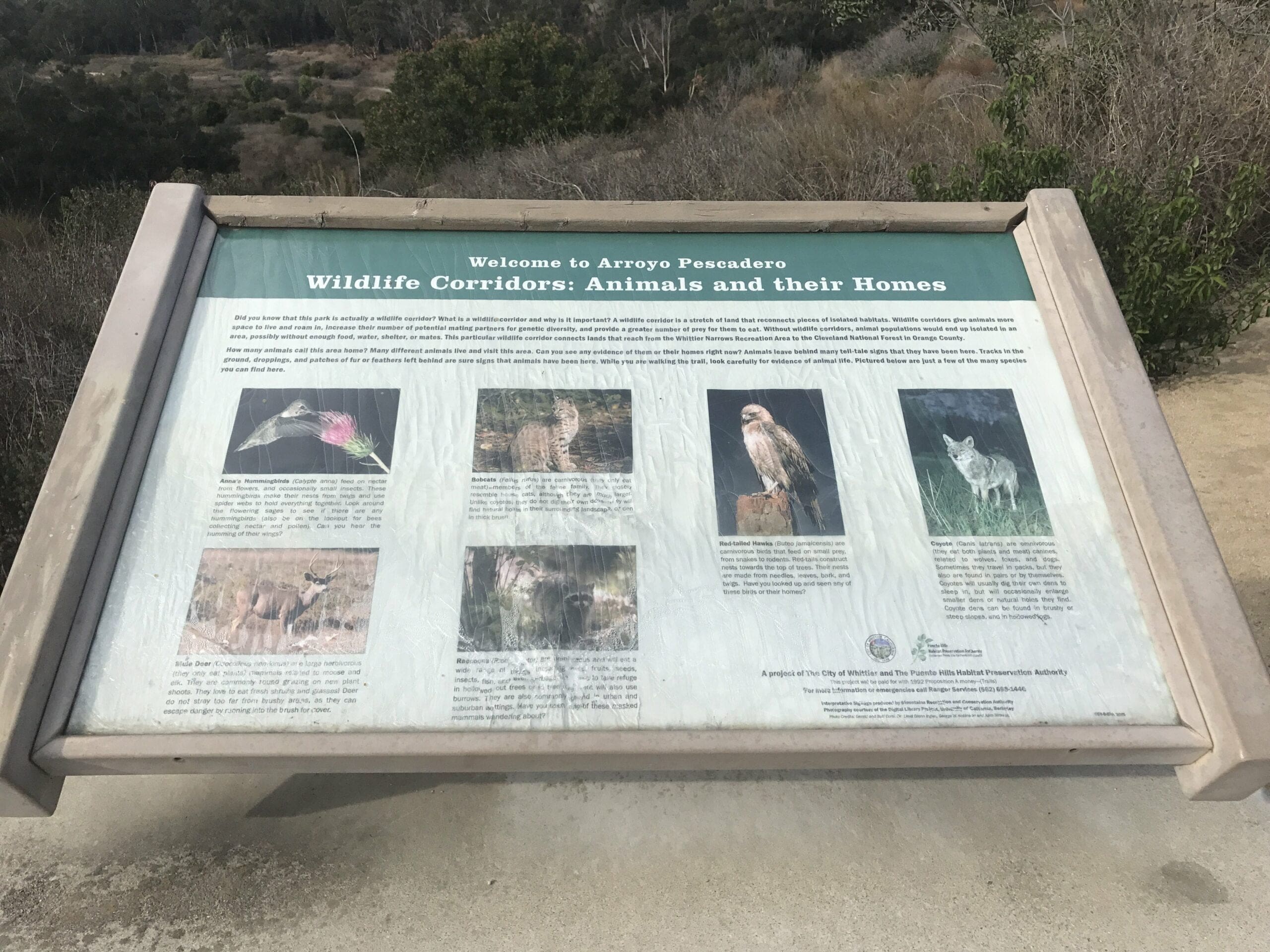
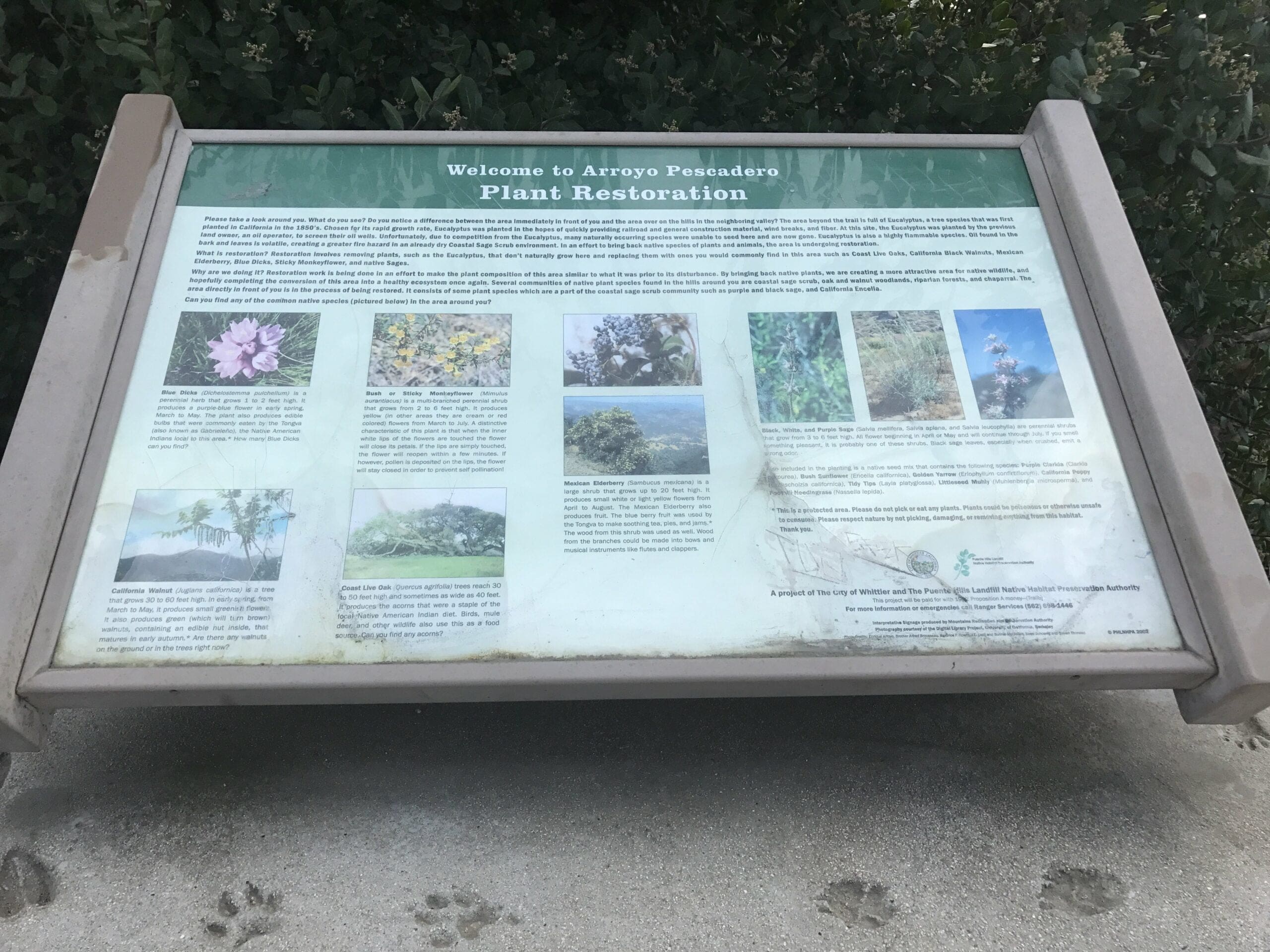
Apparently, plant restoration is a big deal here.
I spend a whopping 5 minutes exploring all of these short trails before officially starting my trek.
This is the extent of the elevation gain right here, so this is a pretty good spot for beginners.
You can either go straight ahead for 2 miles (Arroyo San Miguel trail), or fork left into the 1.8-mile loop. I choose the latter out of sheer eeny, meeny, miny, moe.
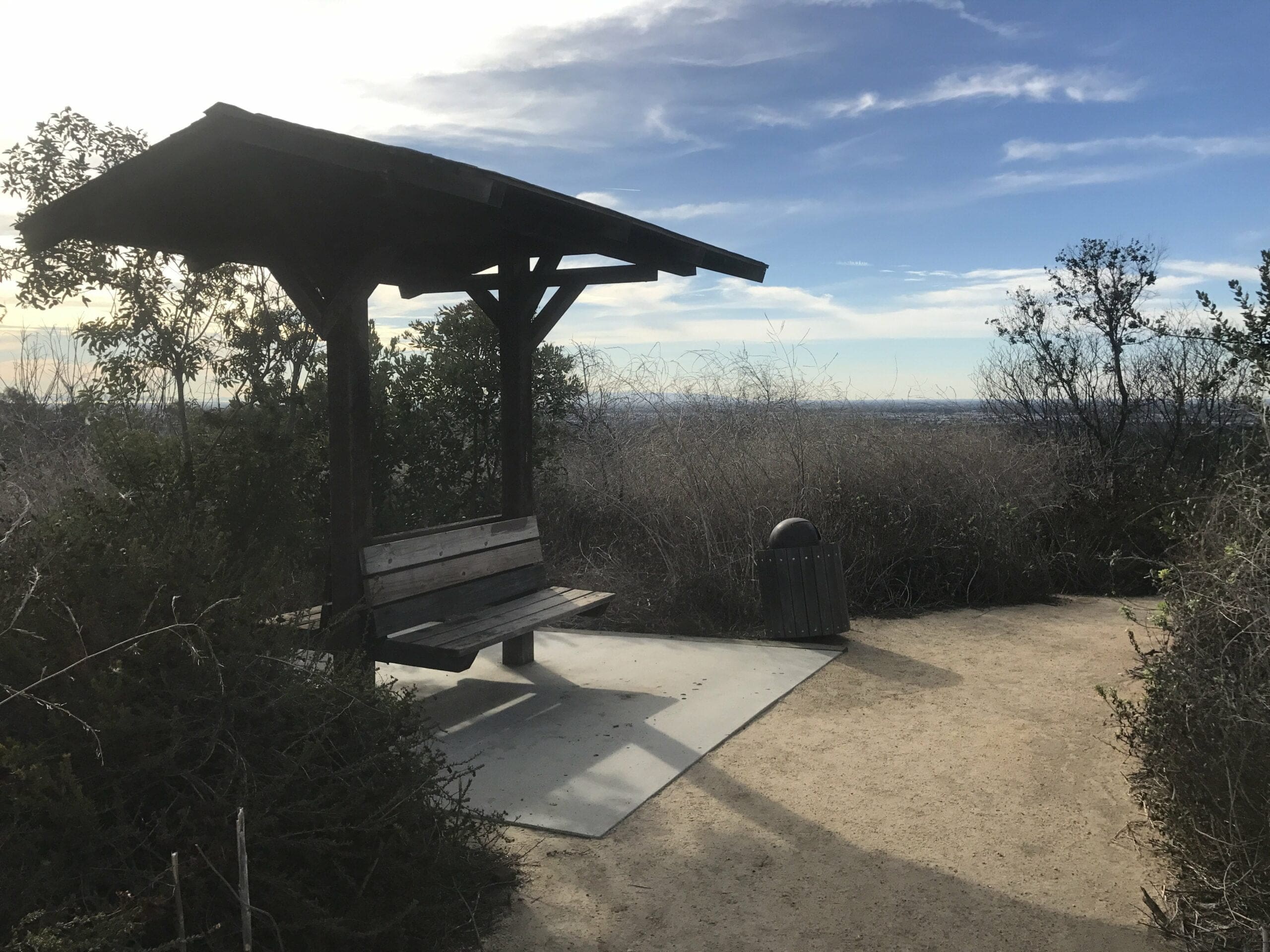
A nice little rest area for all of your hard work thus far.
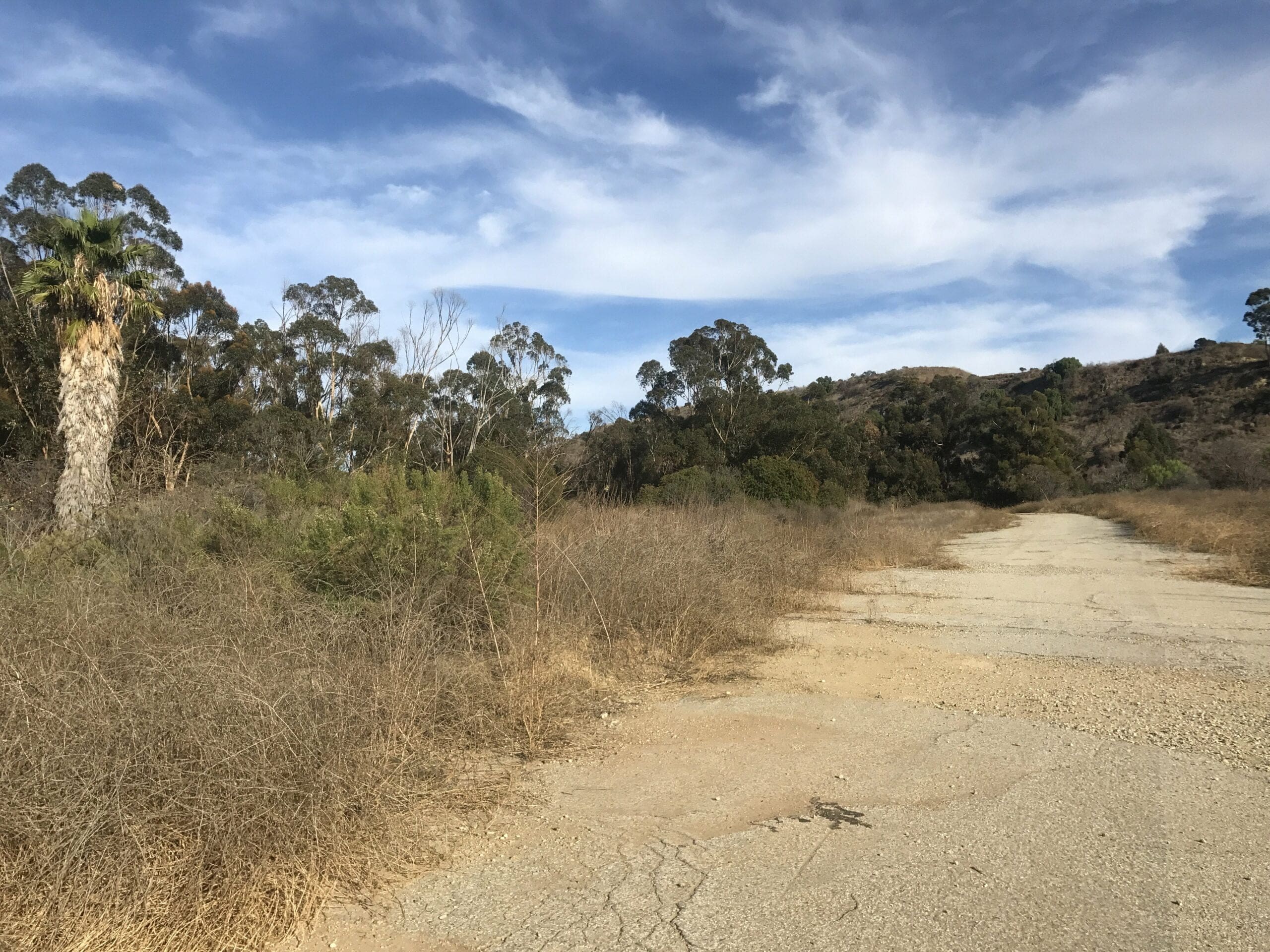
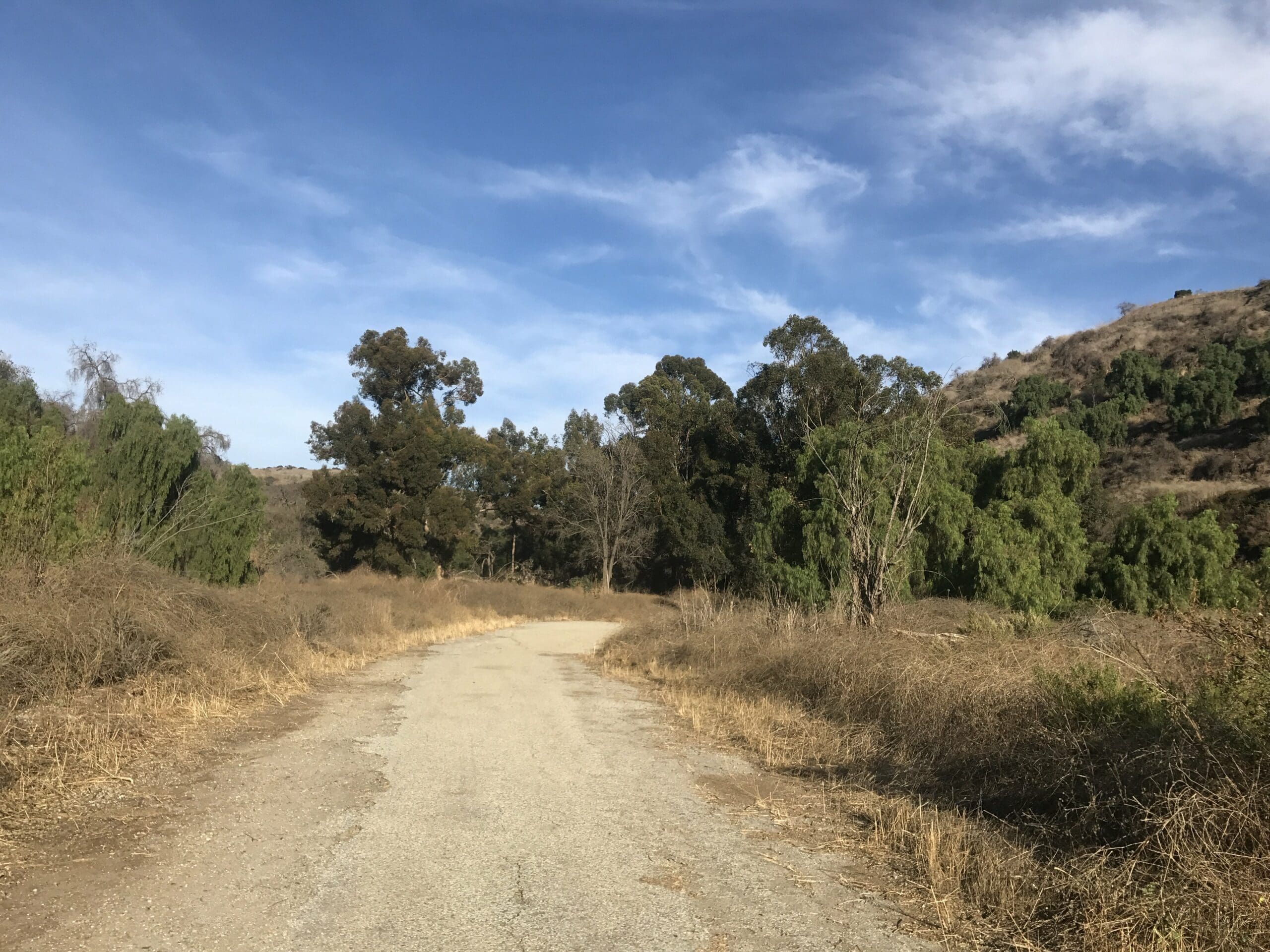
The last of the civilization views; I have now become a prisoner of the forest.
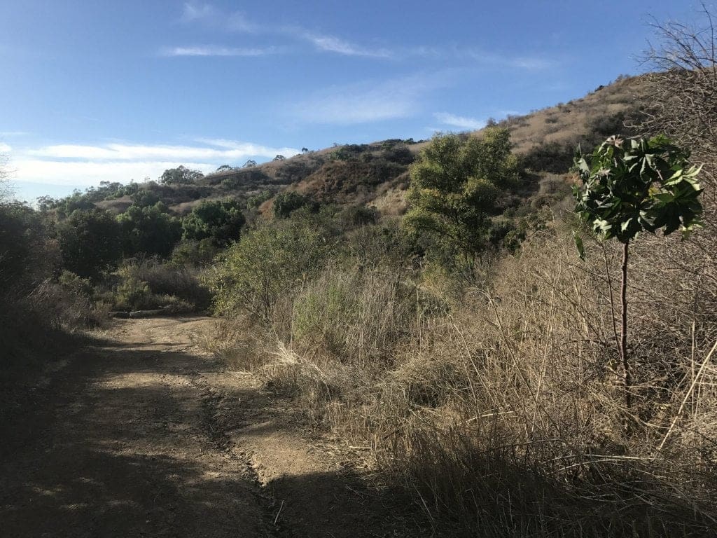
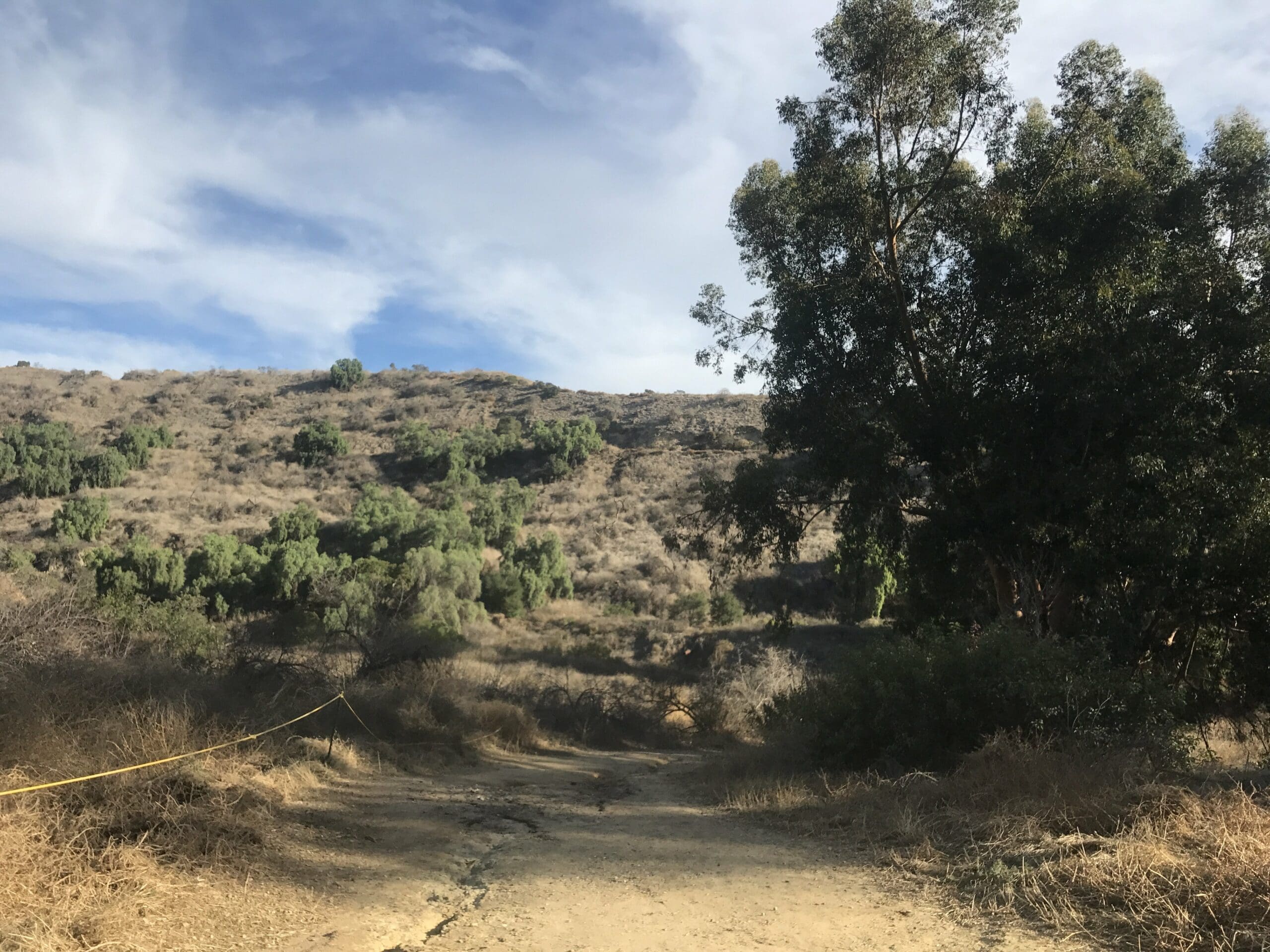
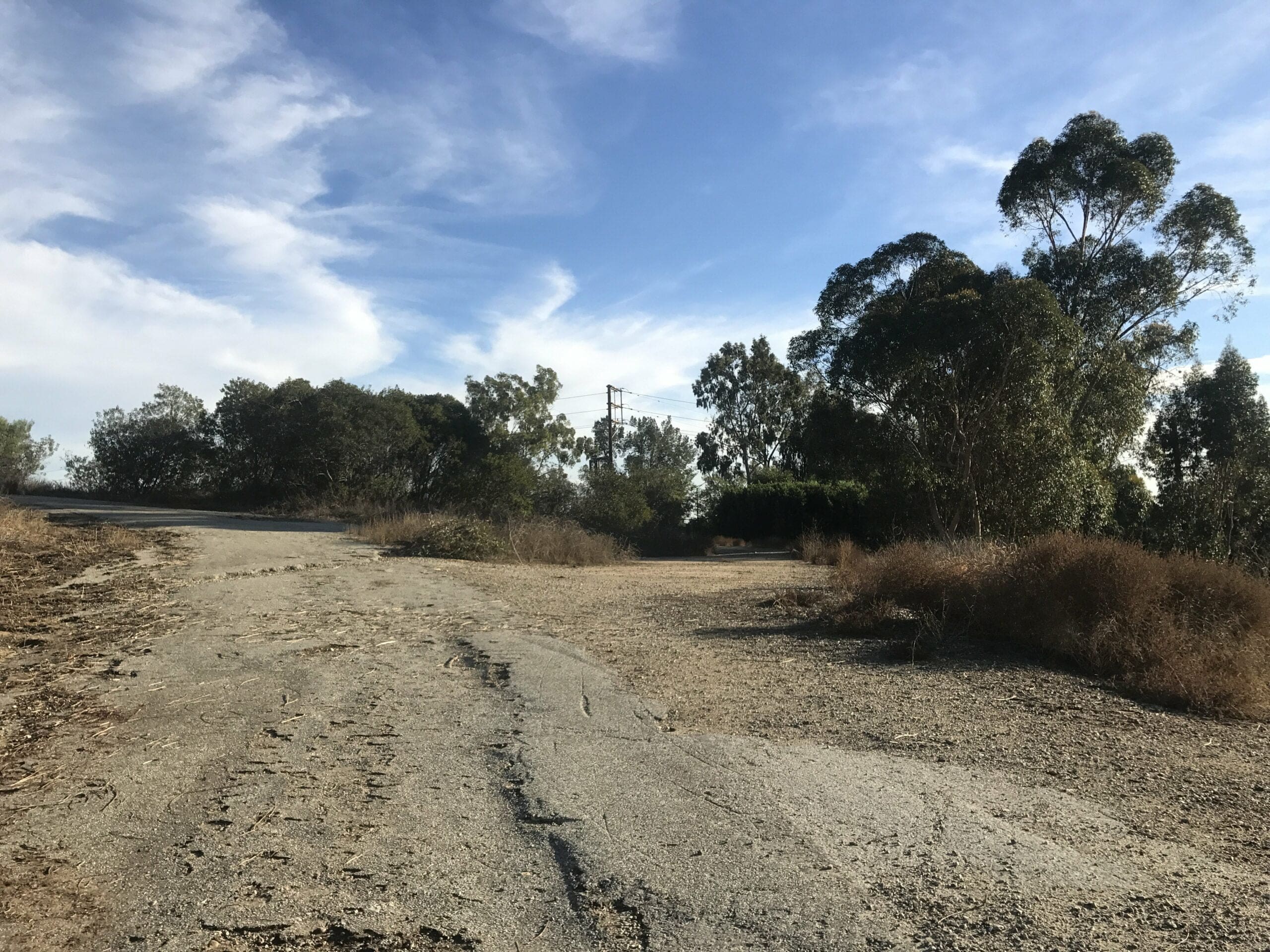
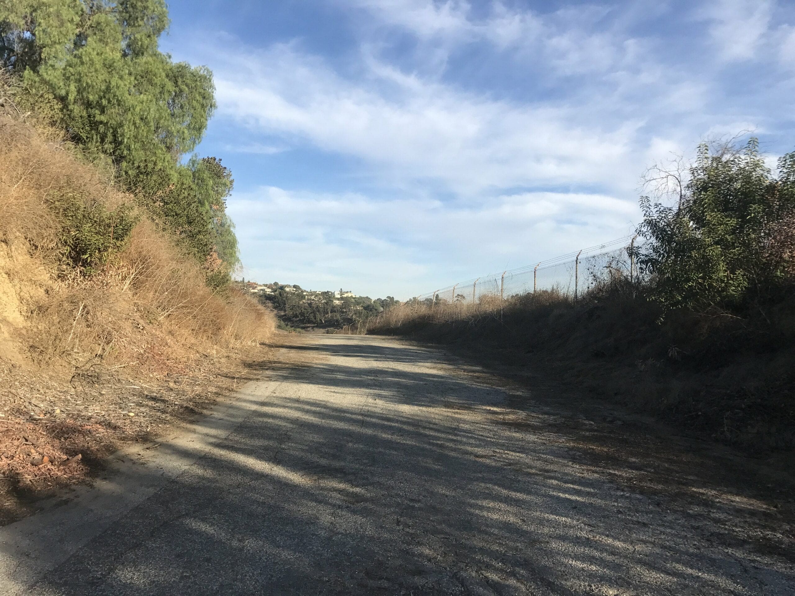
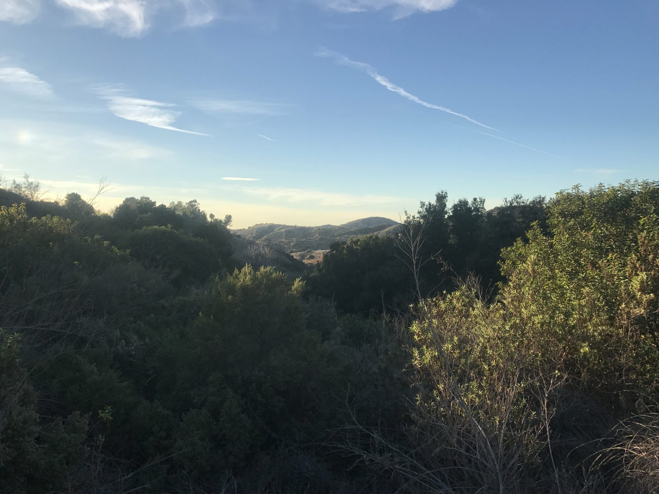
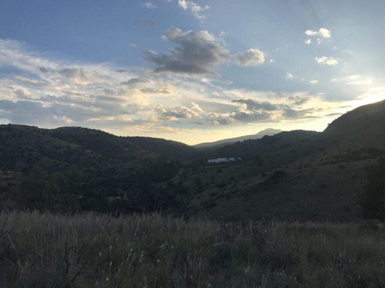
I begin my descent through the Puente Hills Preserve, which overlooks a nice array of hills.
As you can see, this is a highly populated trail.
Fun story: I came across a muddy puddle that was inhabited by a hefty swarm of bees. Luckily, I was able to maneuver around them with ease, so I still remain undefeated in the I’ve-never-been-stung-by-a-bee challenge.
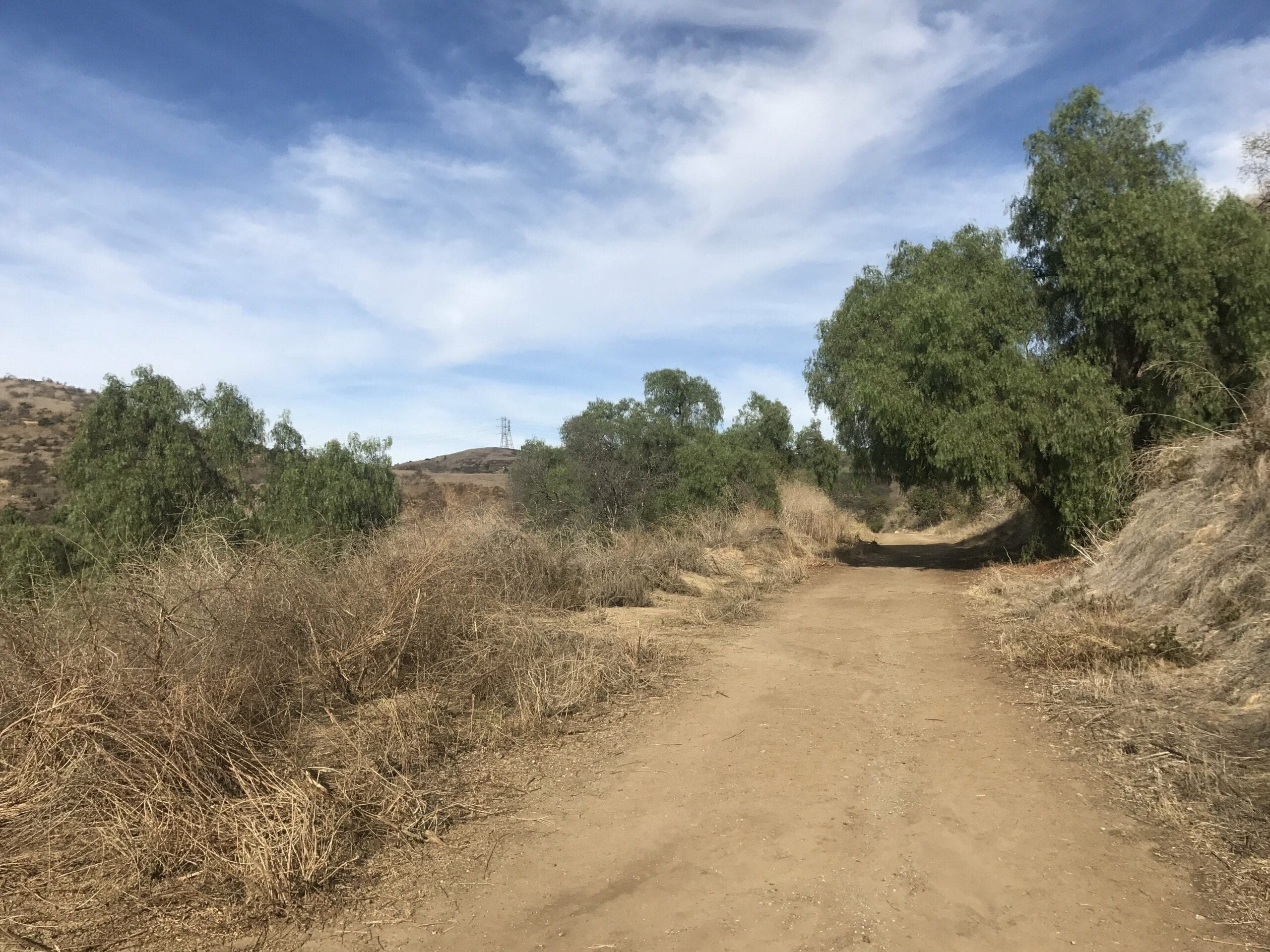
About a half a mile in, the trail turns left to descend even further within the hills and down towards a forest.
Surprisingly, there were quite a few muddy tracks throughout this trail, so wearing those coveted Jordans would not be a wise choice.
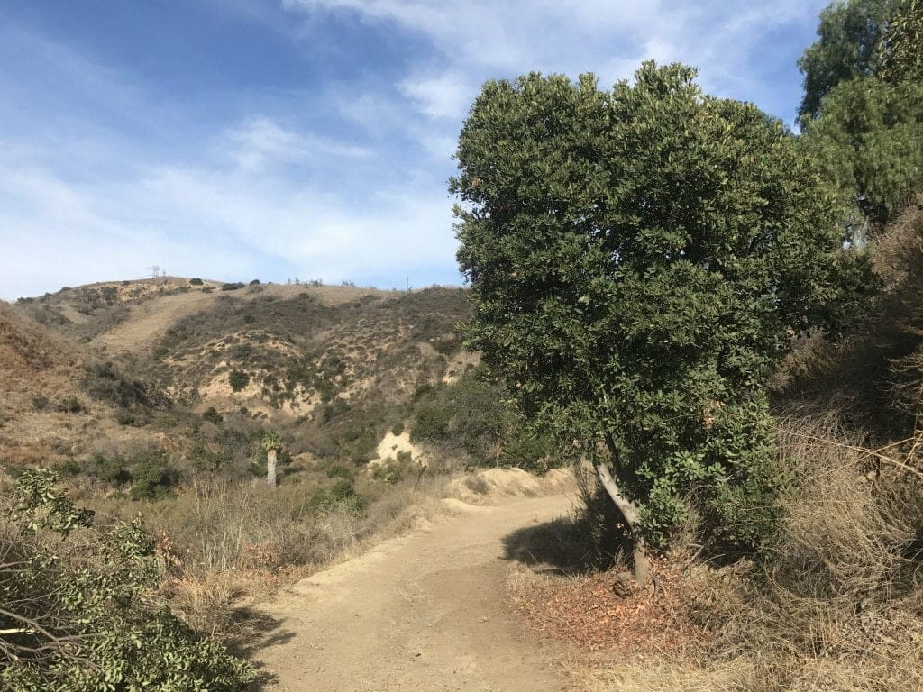
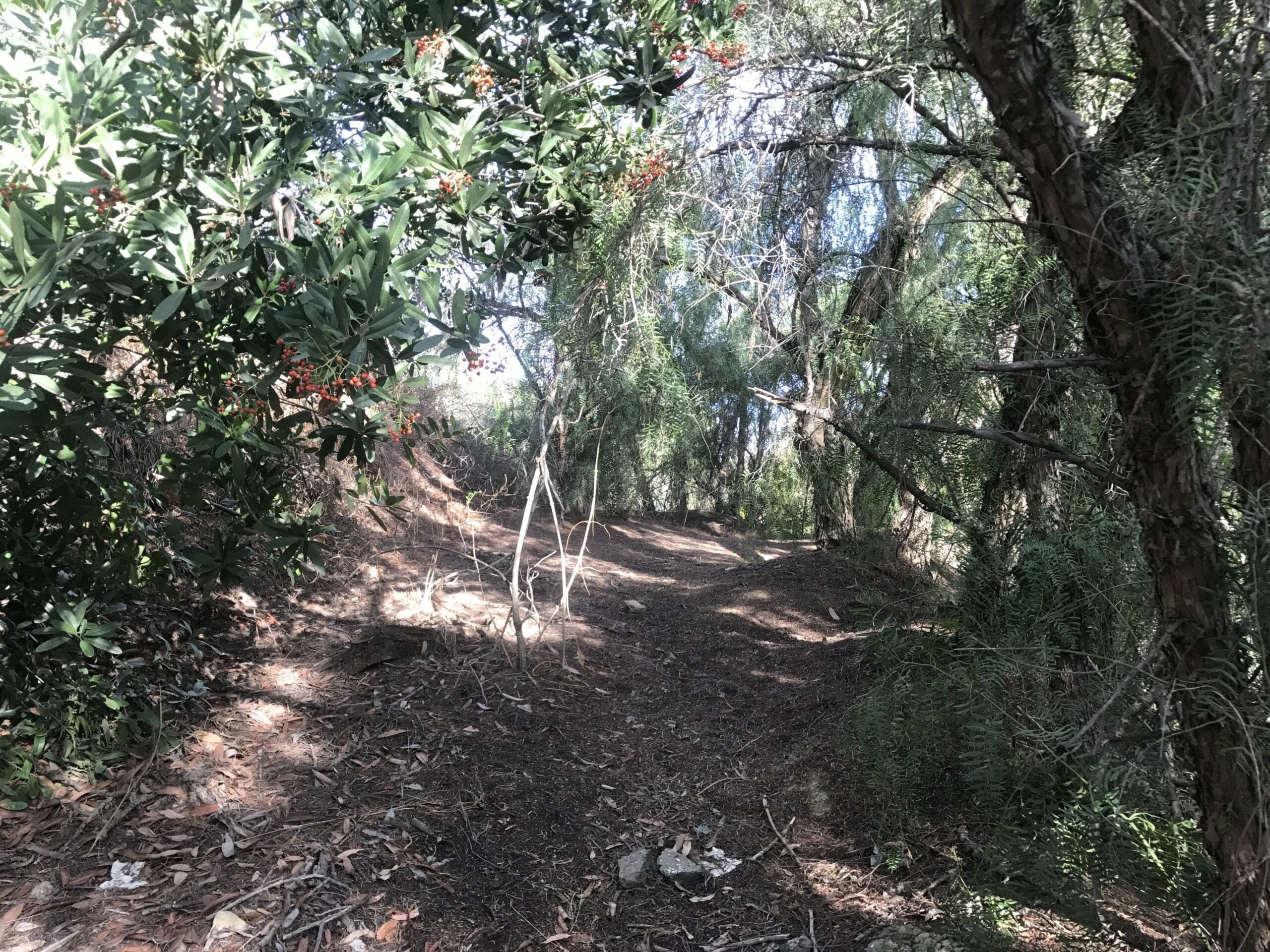
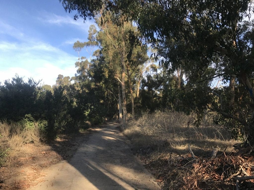
The trail levels off after a small uphill climb and loops some picturesque looking trees.
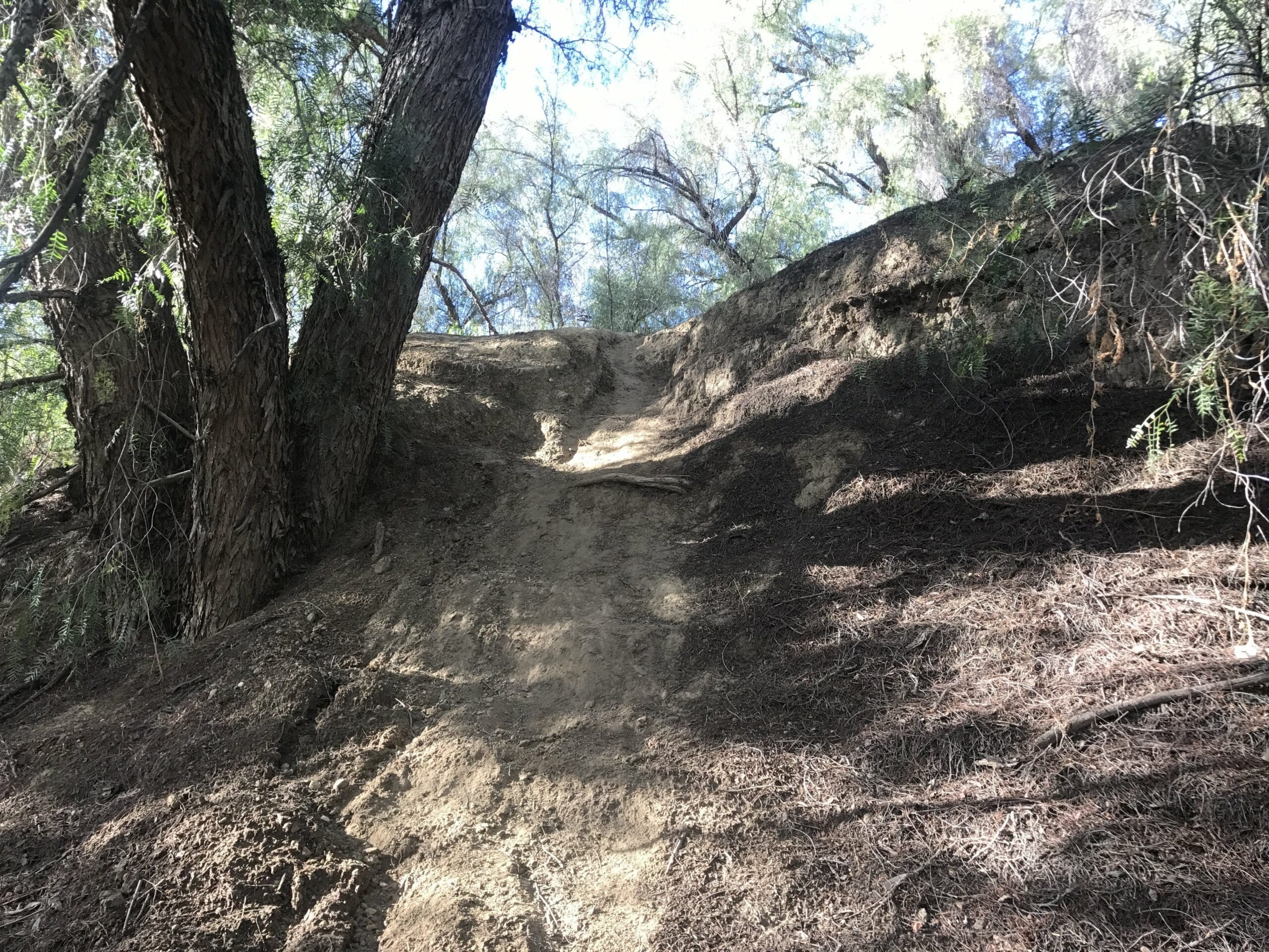
I make my way halfway through the quiet trail head before I stumble upon a super-secret off-trail to my left.
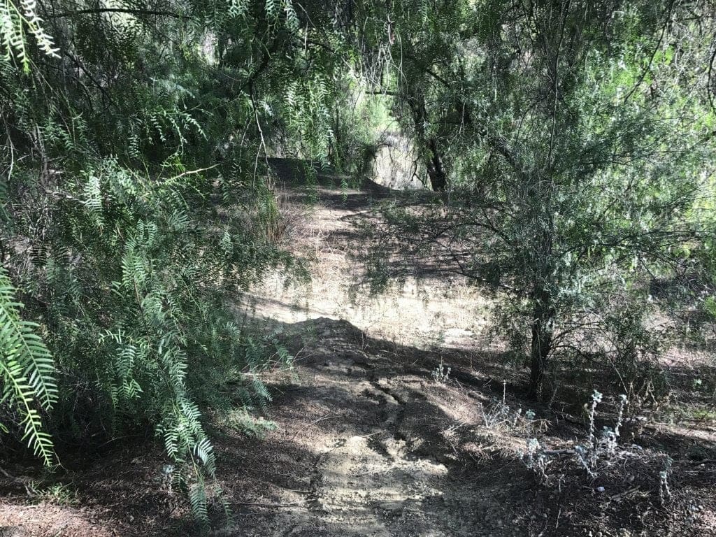
And if you know me in the slightest, you’d know that I never pass up a chance to discover potential dead bodies that are clearly tucked away in these off-trails.
There were two tiers to this off-trail:
- Tier 1: Relatively easy to climb down to
- Tier 2: Strong balance and twig-grabbing required
Both tiers were filled with logs and trees that were carved with initials, as well as small “gardens” of cacti.
Ultimately, the tiers were short-lived and led to a dead end, but it’s still cool to explore unfamiliar territory.
The semi-steep trail back up from Tier 2 to Tier 1.
Back to the main trail head!
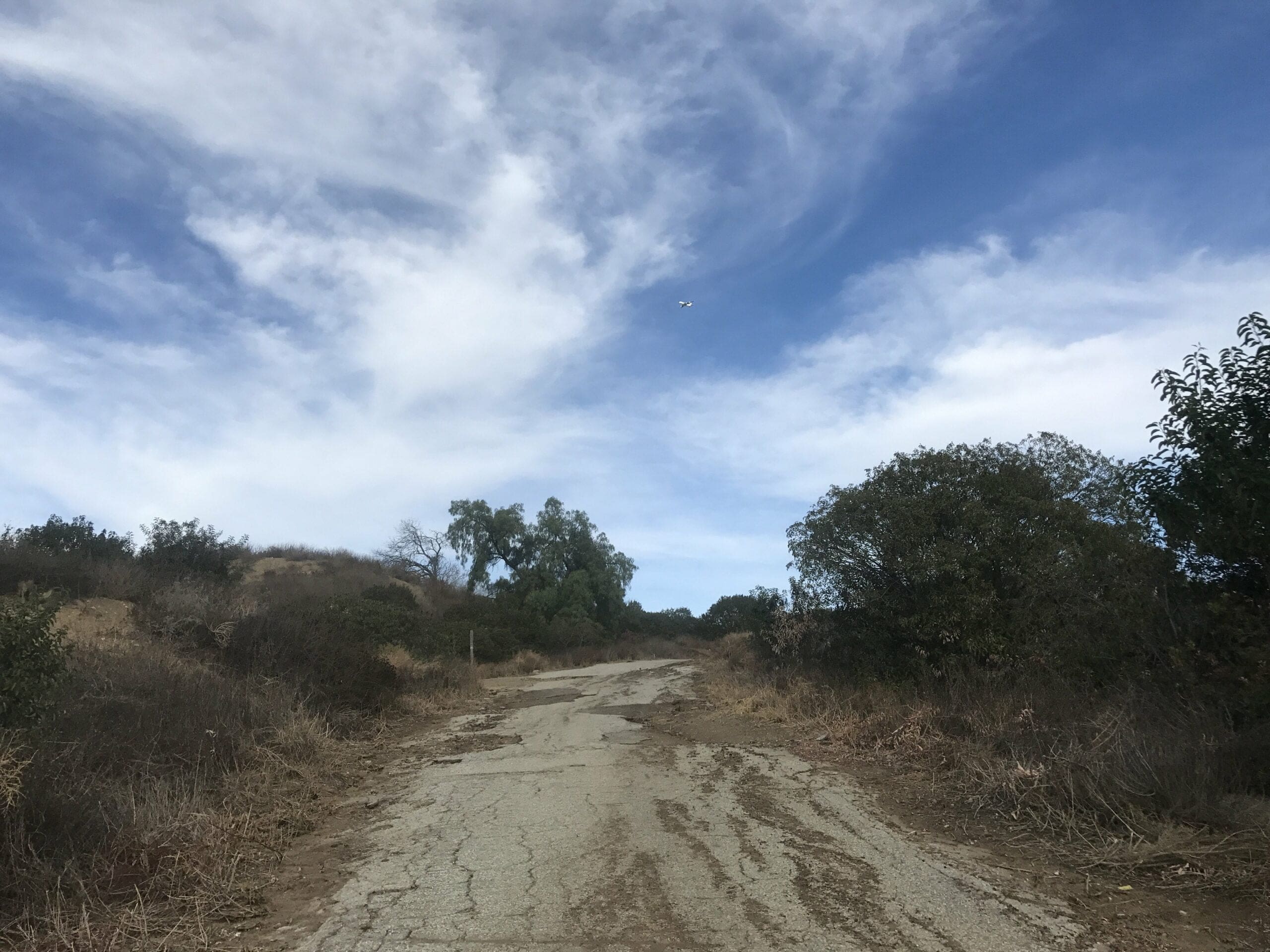
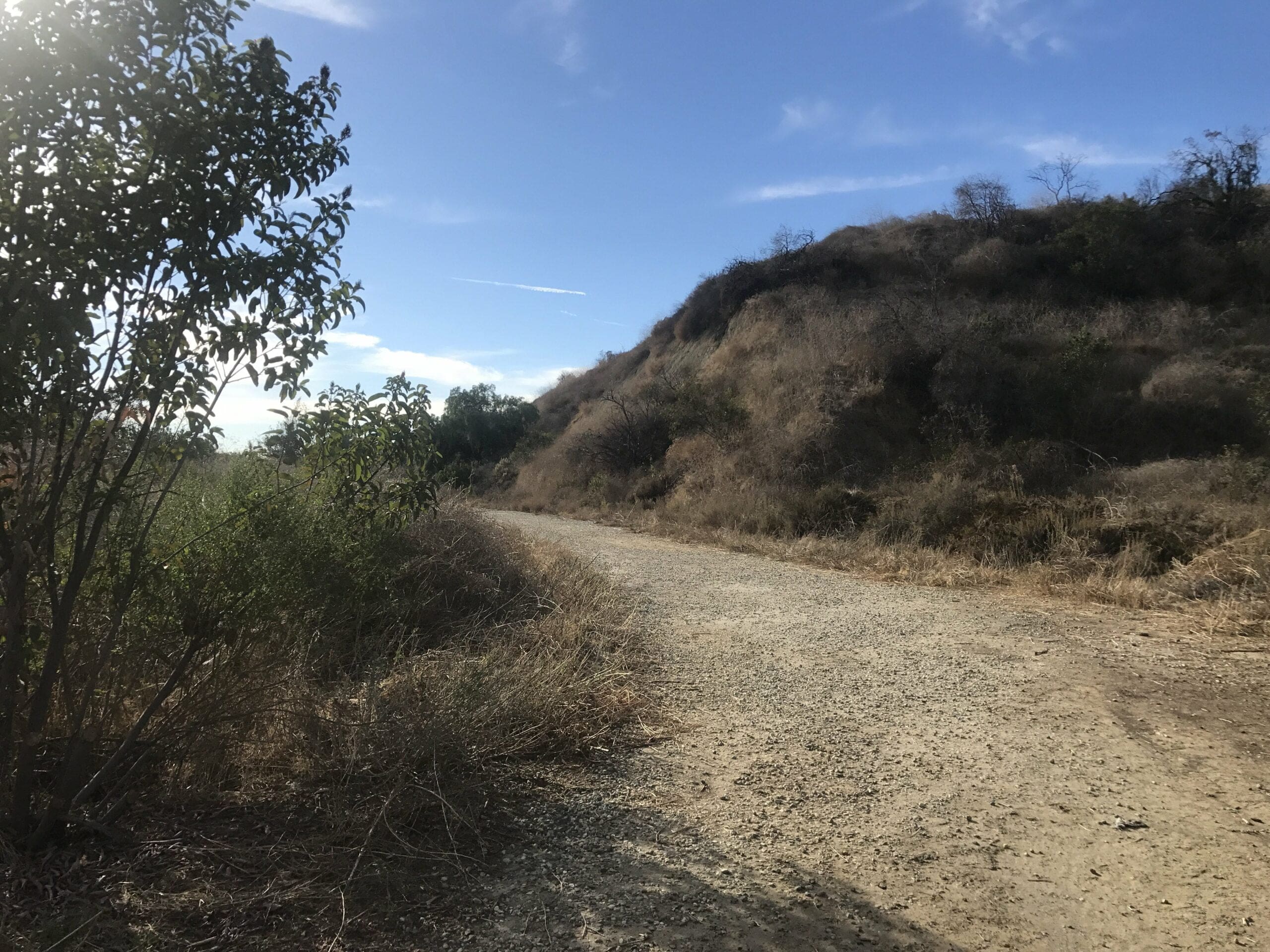
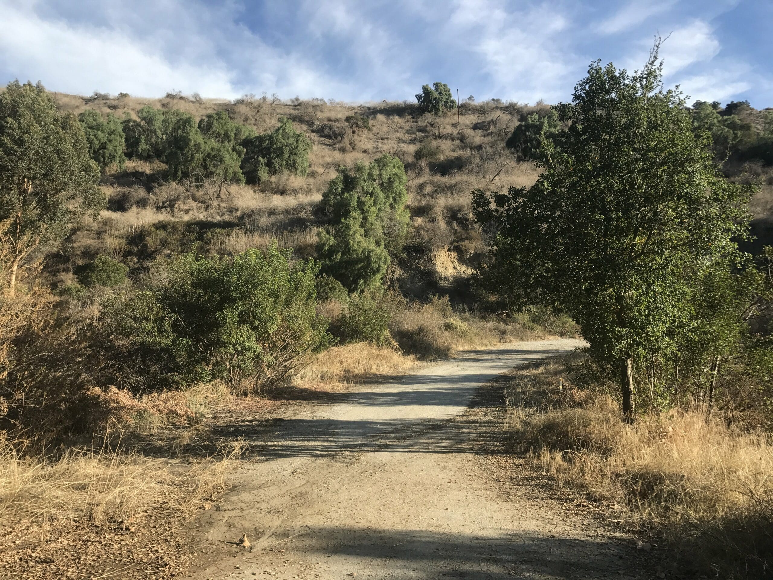
About a quarter of a mile past the off-trail, the road begins to descend again toward the initial hill I came from.
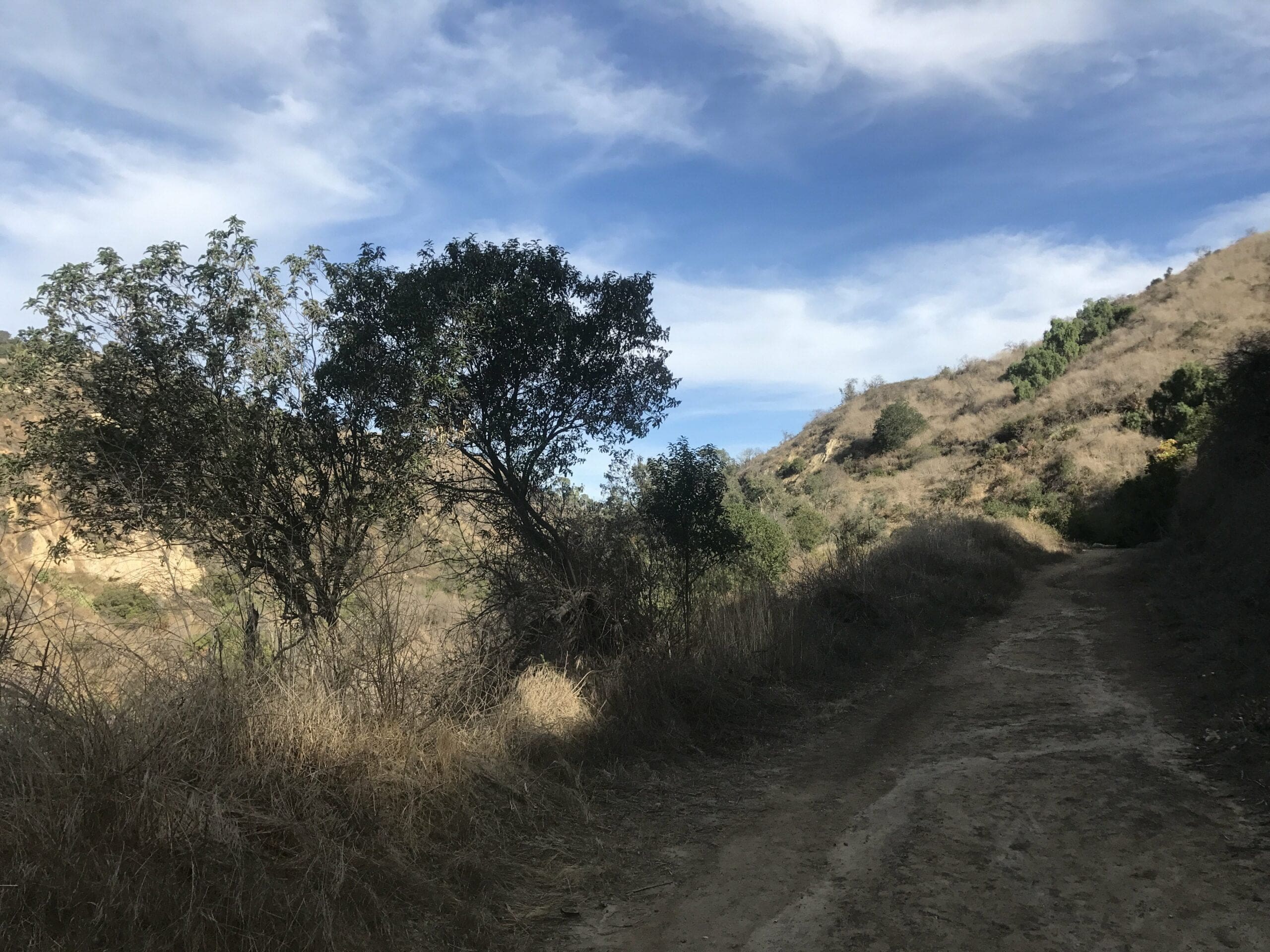
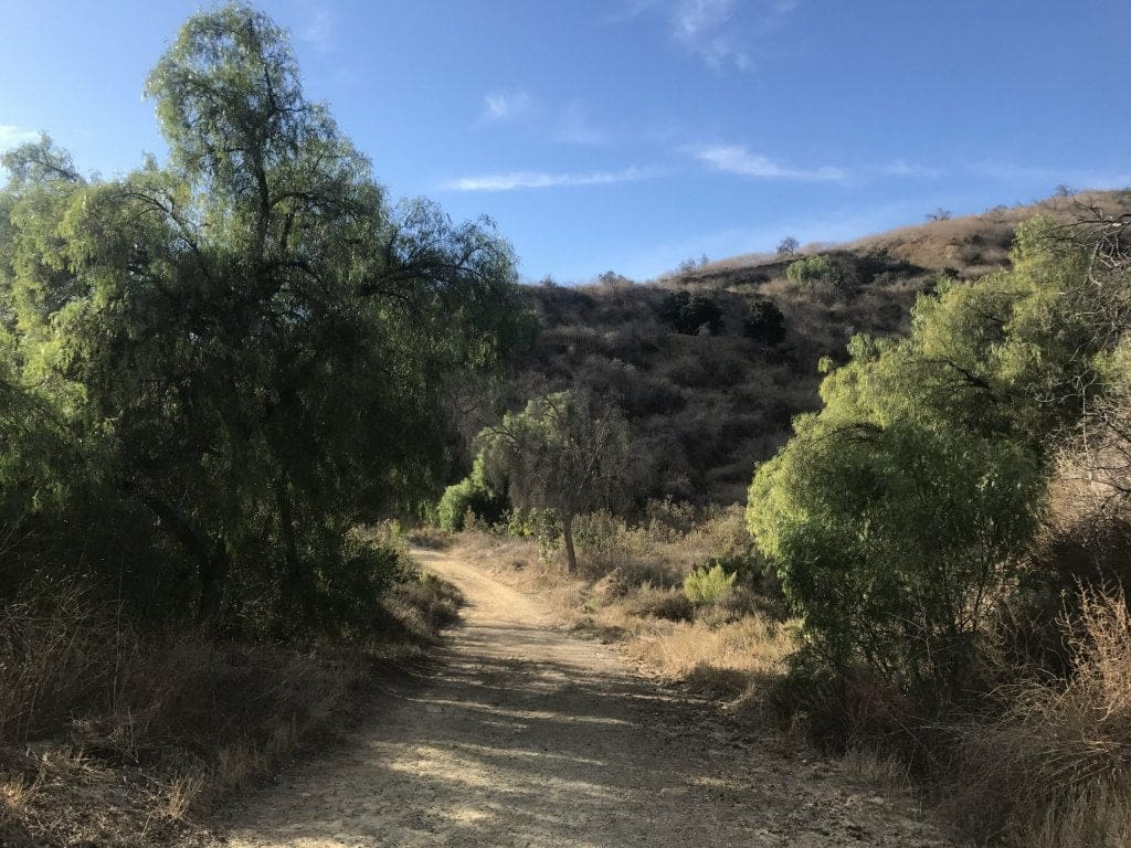
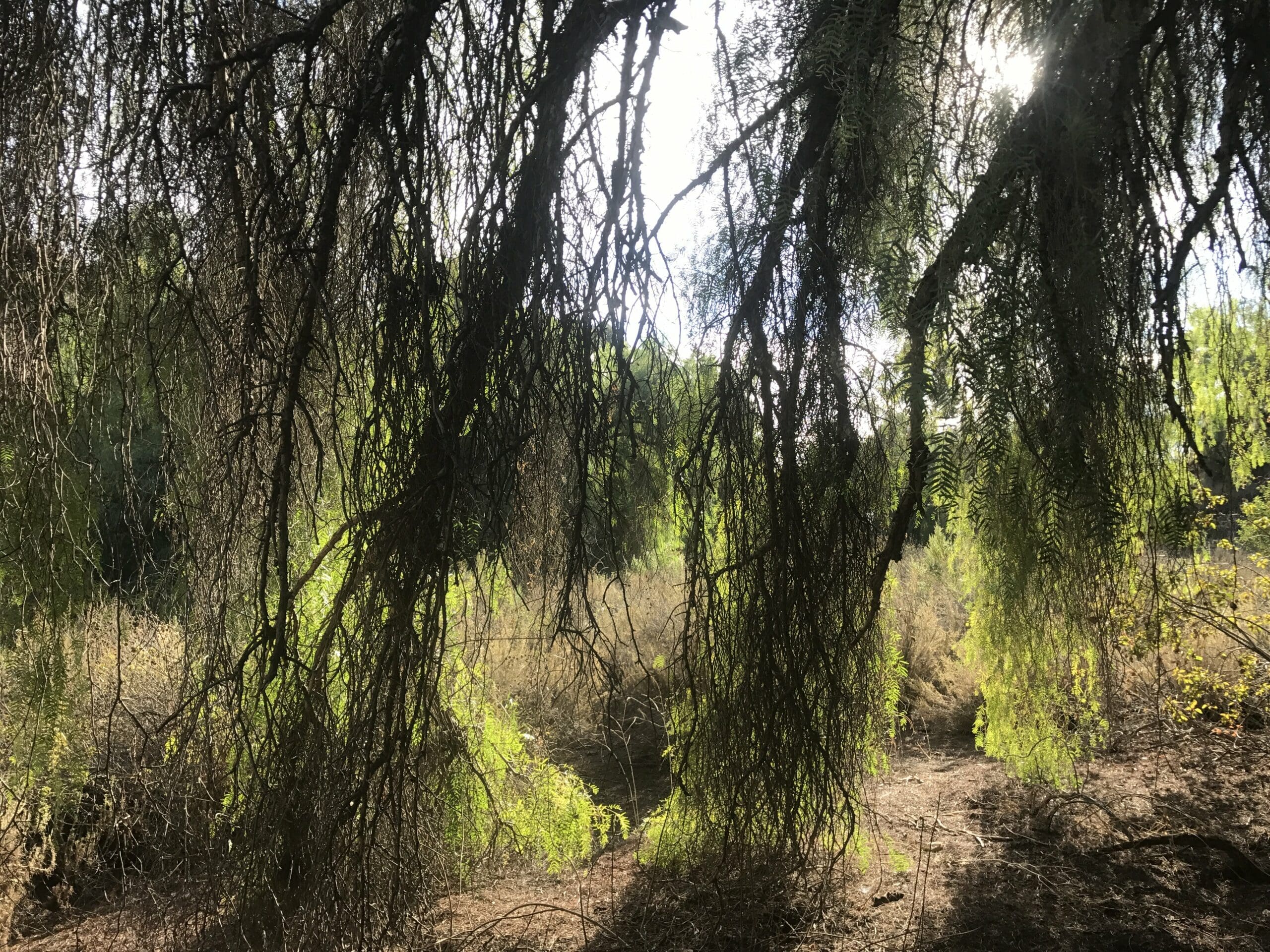
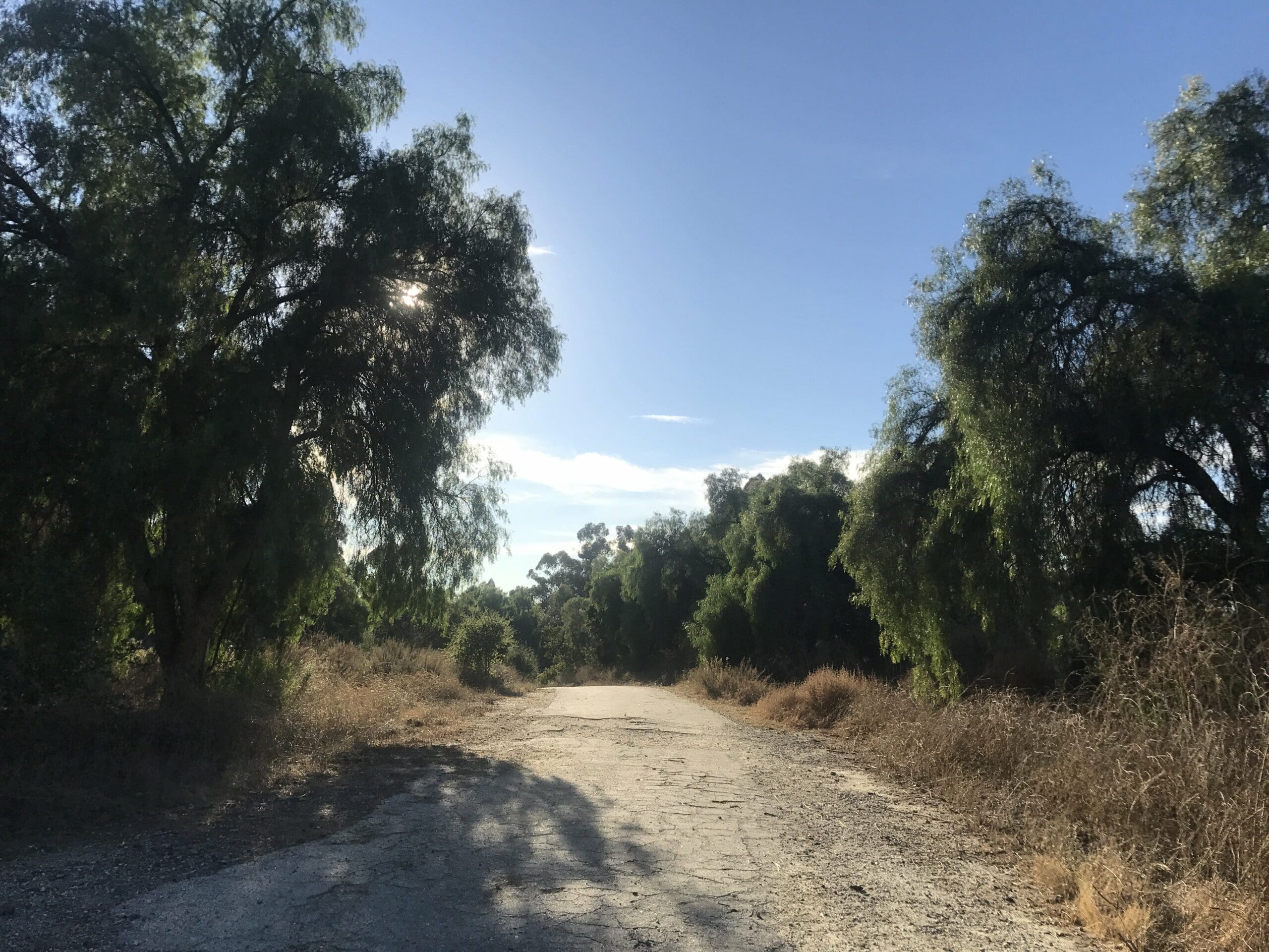
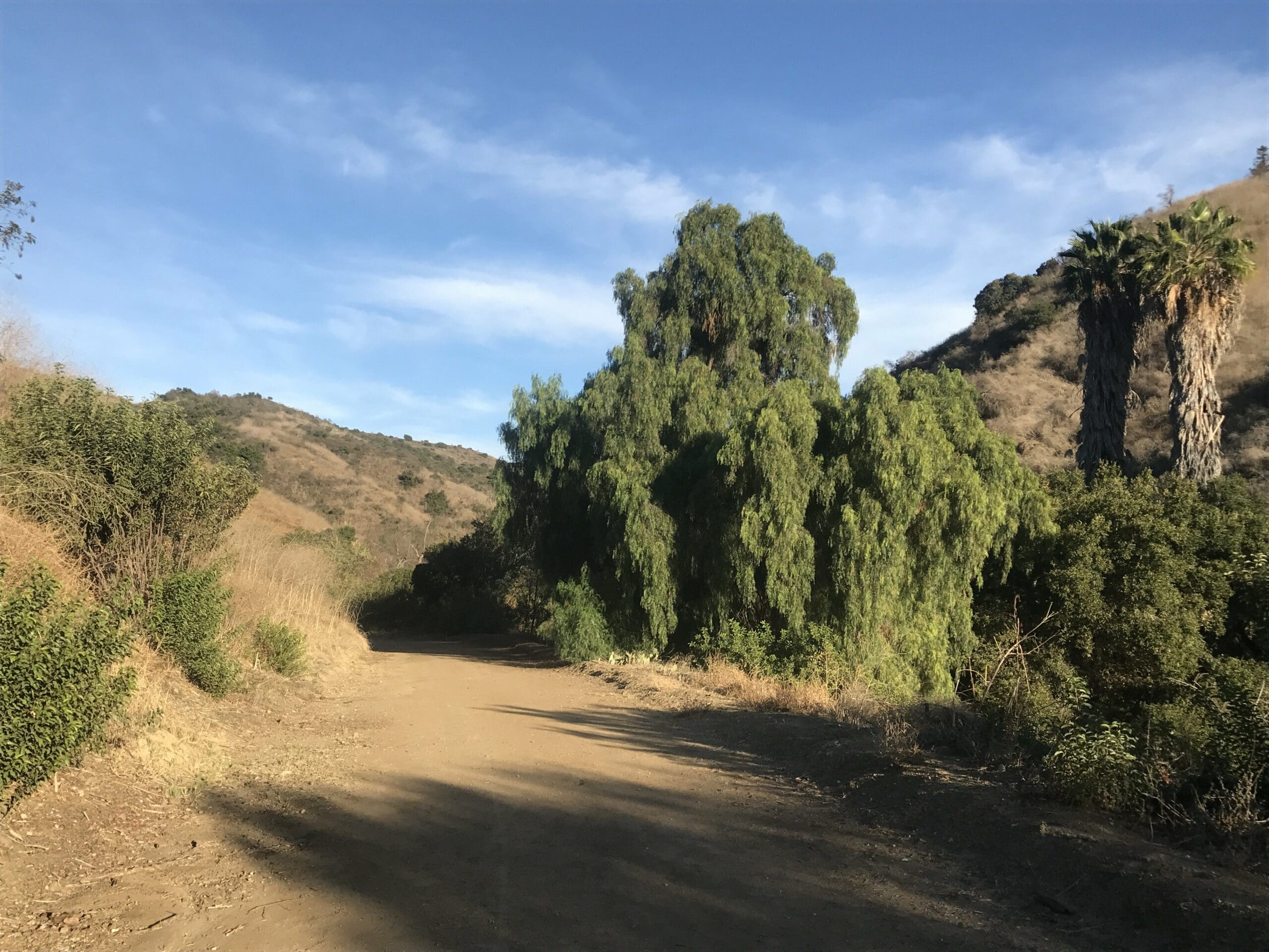
The most beautiful part of the Arroyo Pescadero trail head was the unusual structure of the trees. Notice how they curl over to (almost) touch the trail.
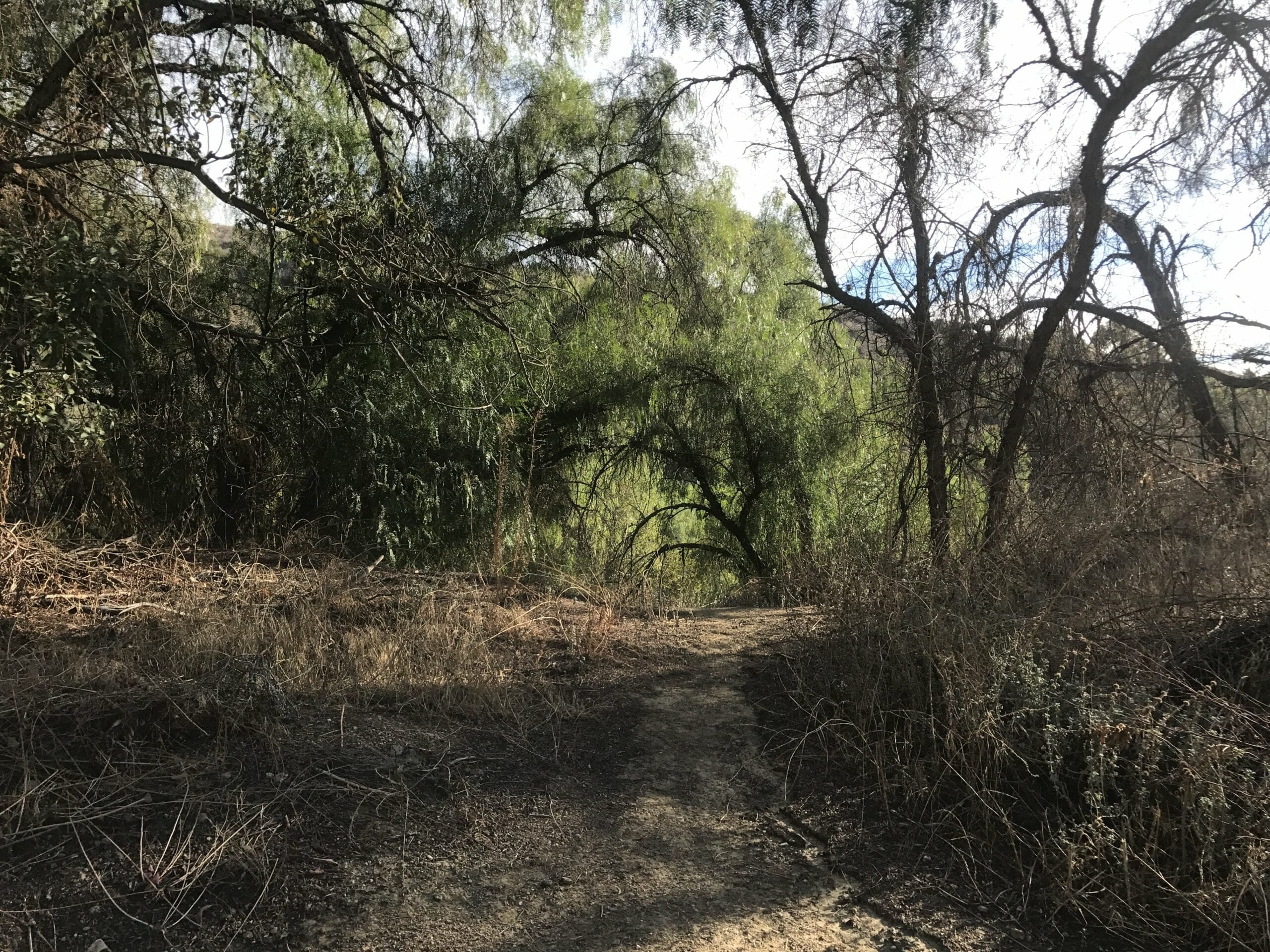
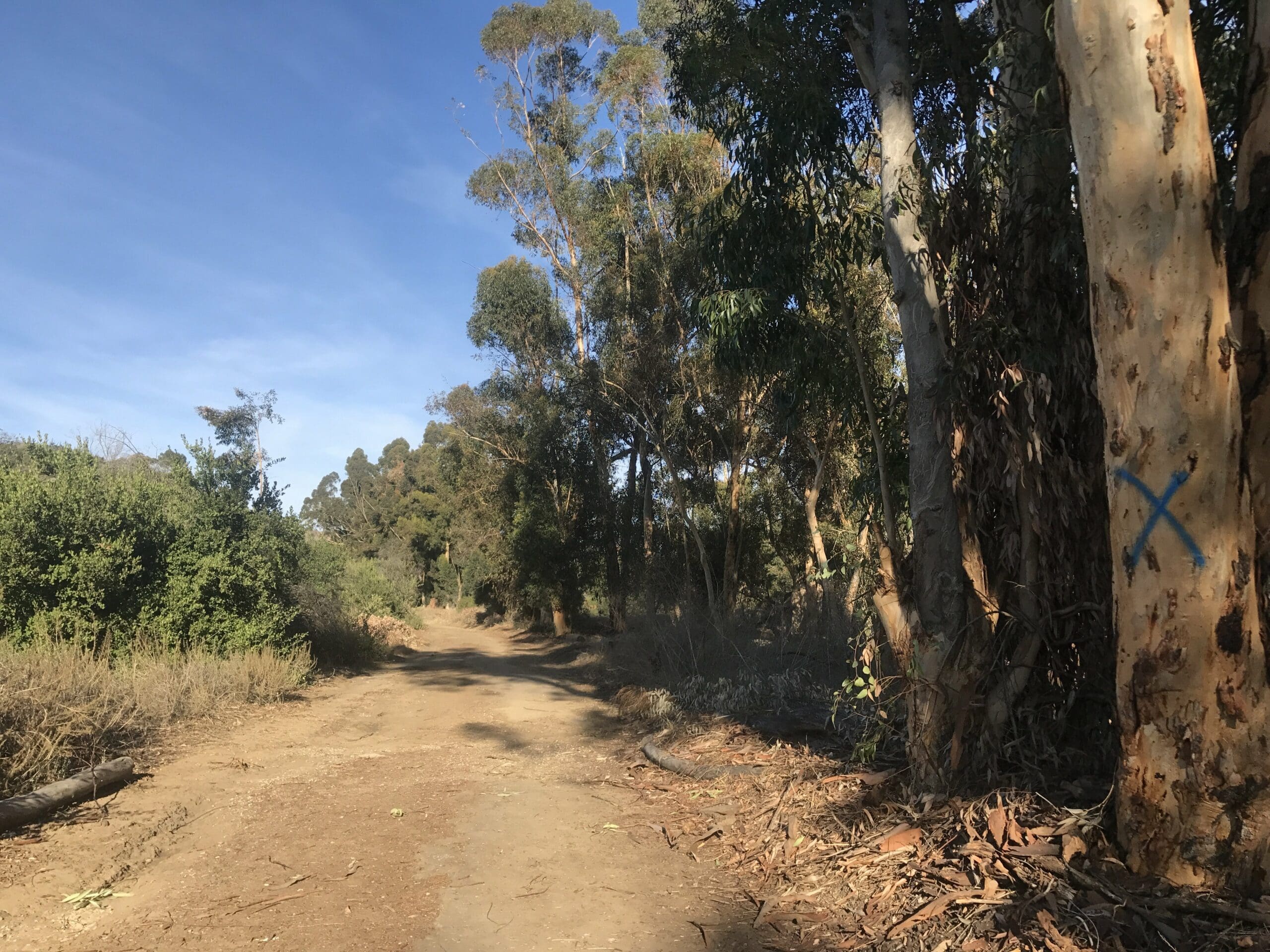
The final stretch of the first half of the loop.
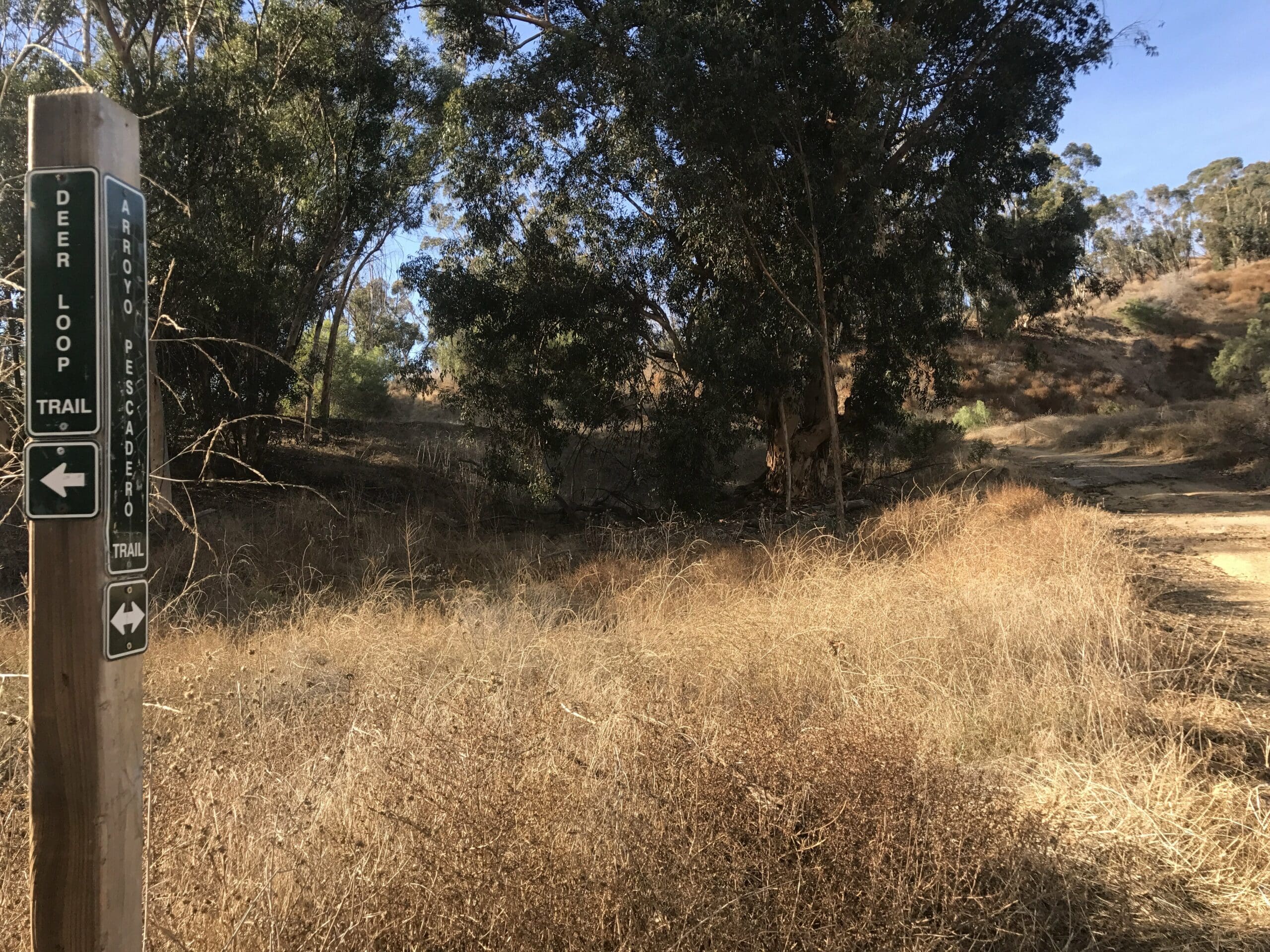
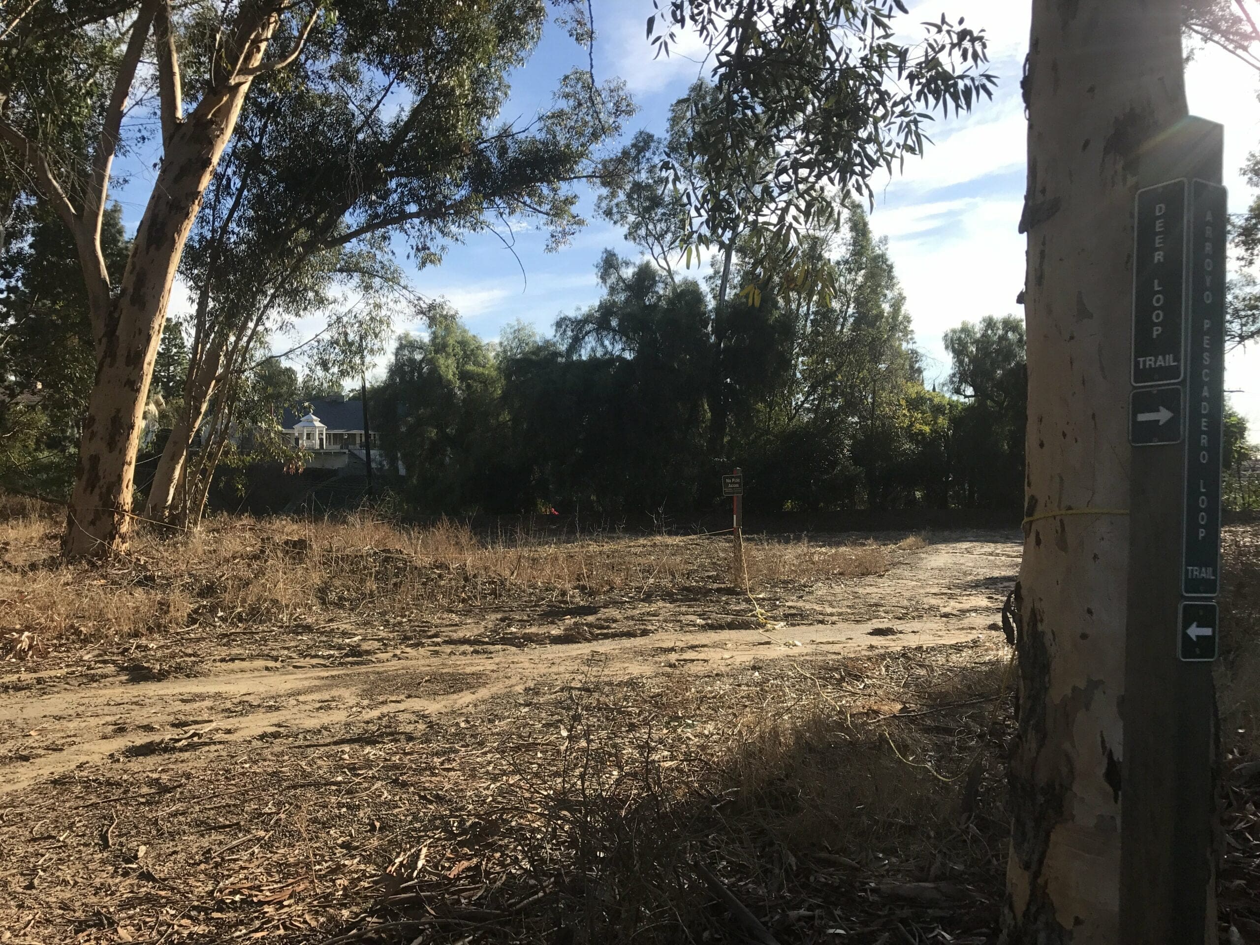
At long last, I reach a fork in the road!
To the left: A continuation of the Arroyo Pescadero trail
To the right: The Deer Loop Trail
The Deer Loop Trail
I choose to embark on the latter, which quickly led to another fork in the road.
I steer right to make my way up an easy hill. (The left most trail leads to a separate parking lot/entrance to the trail).
About 1000 feet later, you’ll reach an open field with a trail to your left that loops back around to the start of the Deer Loop Trail.
The view of the vast expanse from behind.
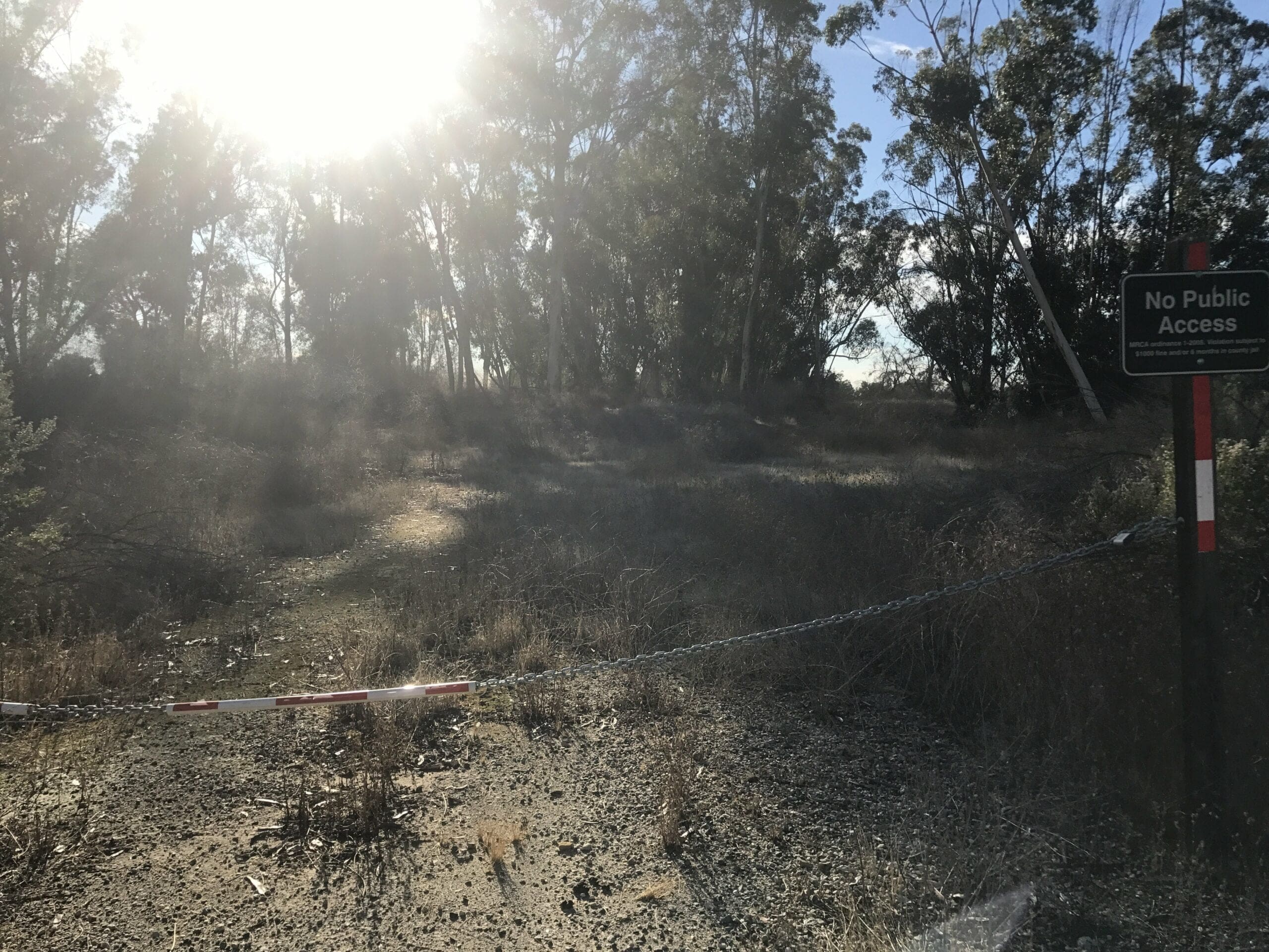
I notice a side trail that was closed off with 2 peculiar signs which read:
“No Public Access” and “Caution: Feral Animals.”
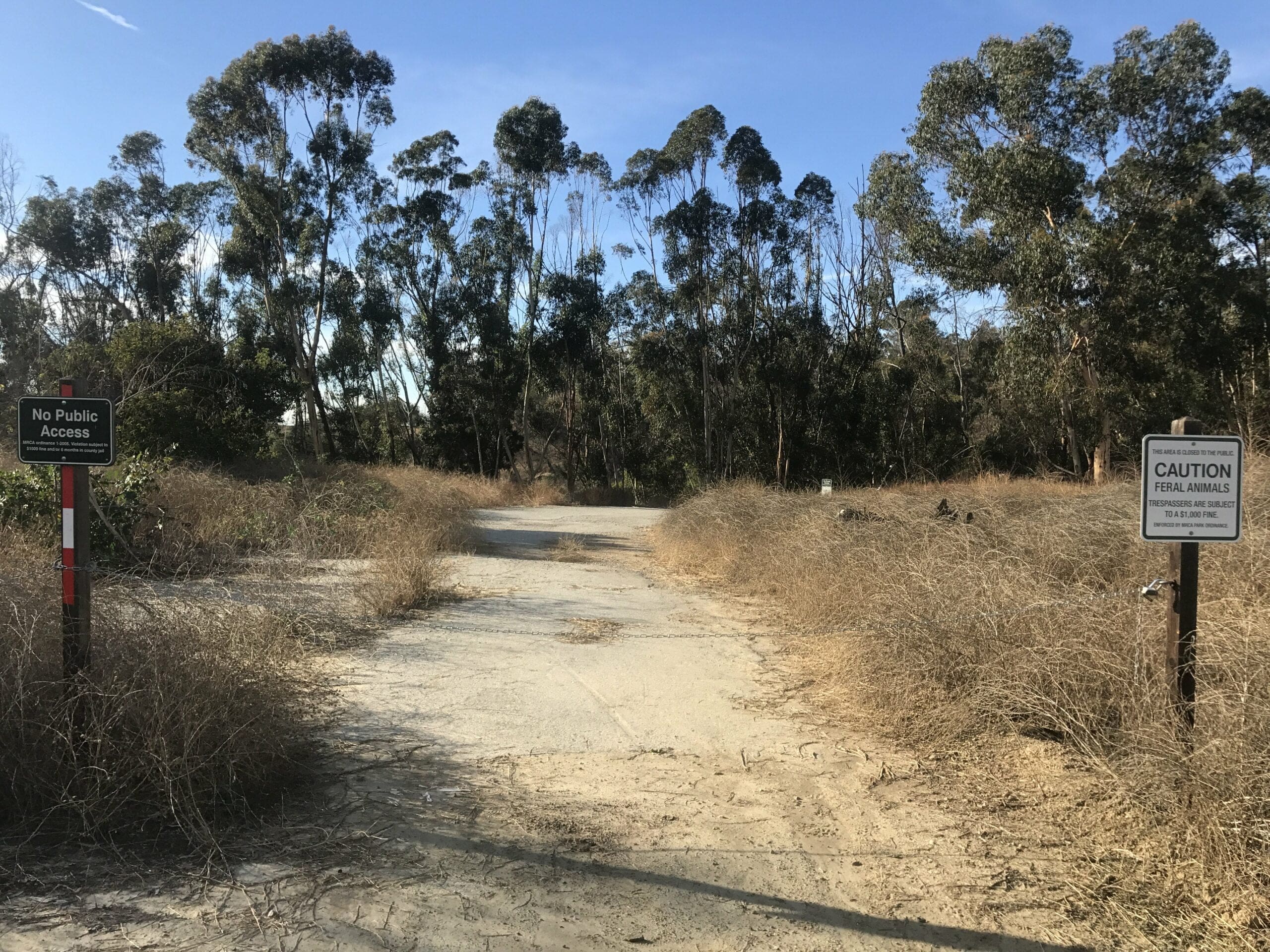
As tempting as it was to hunt some feral animals, I wasn’t in the mood to get a possible $1000 trespassing fine.
I turn around and venture off to the right to continue through the loop.
I quickly come across another “No Public Access” sign; What are these people trying to hide?
I fork left to notice a slight change of scenery from an open field to a more narrow forest.
No off-trails here (believe me, I checked).
The whole loop only lasted just over half a mile before coming to an end.
If you keep going to the right, you’ll end up at a parking lot (which was a different entrance than the one I came from). There was also (surprise) another “No Public Access” sign to the left of the parking lot.
I make a 180 to head back toward the Arroyo Pescadero trail, this time taking the linear route instead of the loop.
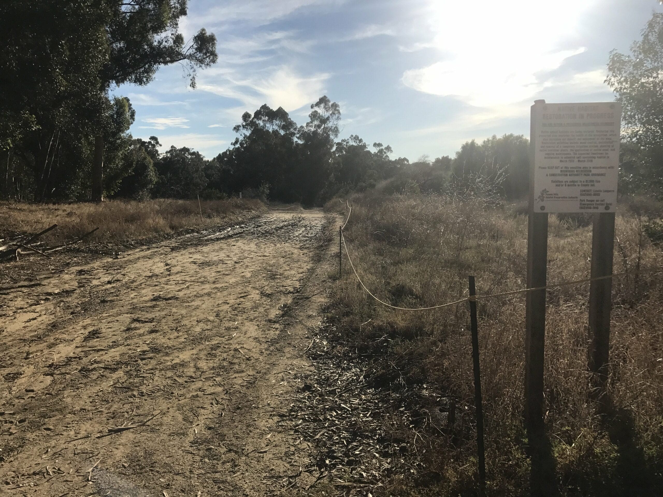
I reach the beginning of the Deer Loop Trail, with a sign that says “Native Habitat Restoration in Progress.”
Time to head back to the very beginning!
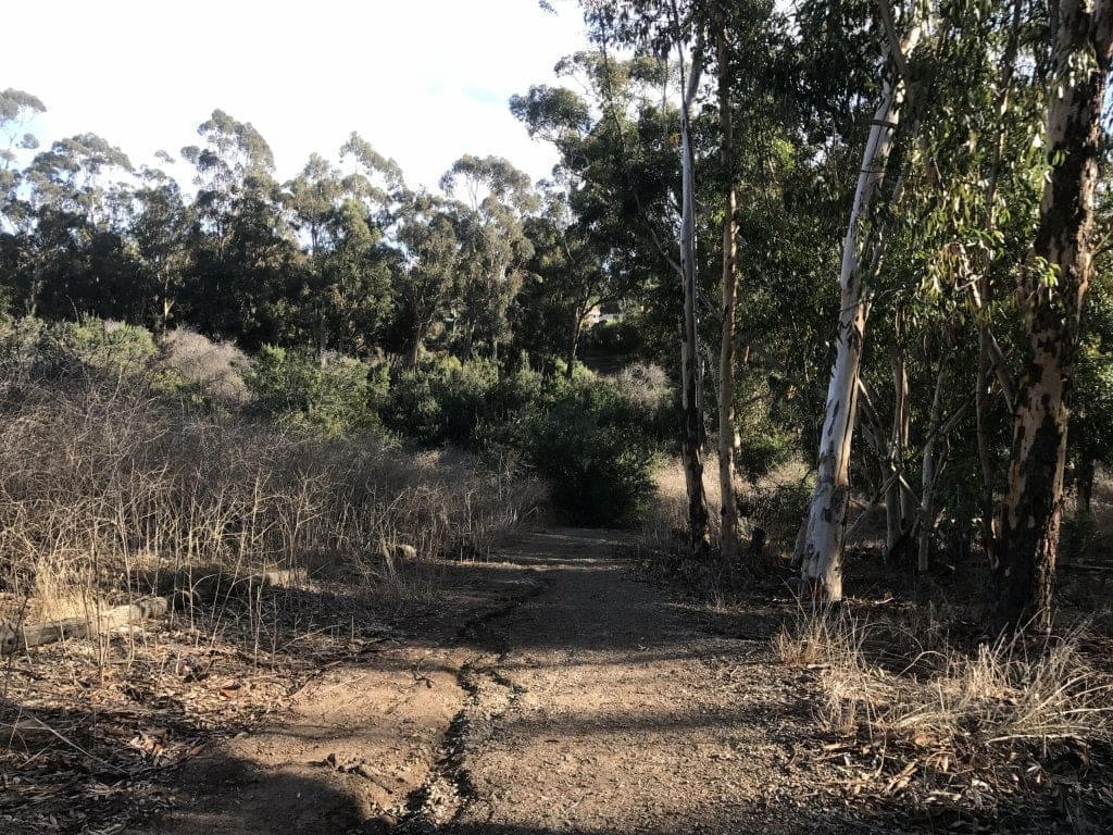
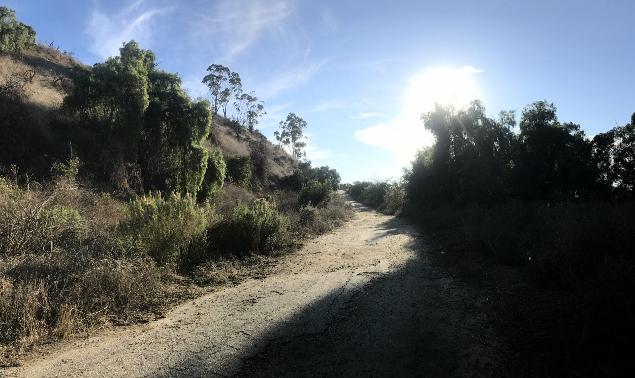
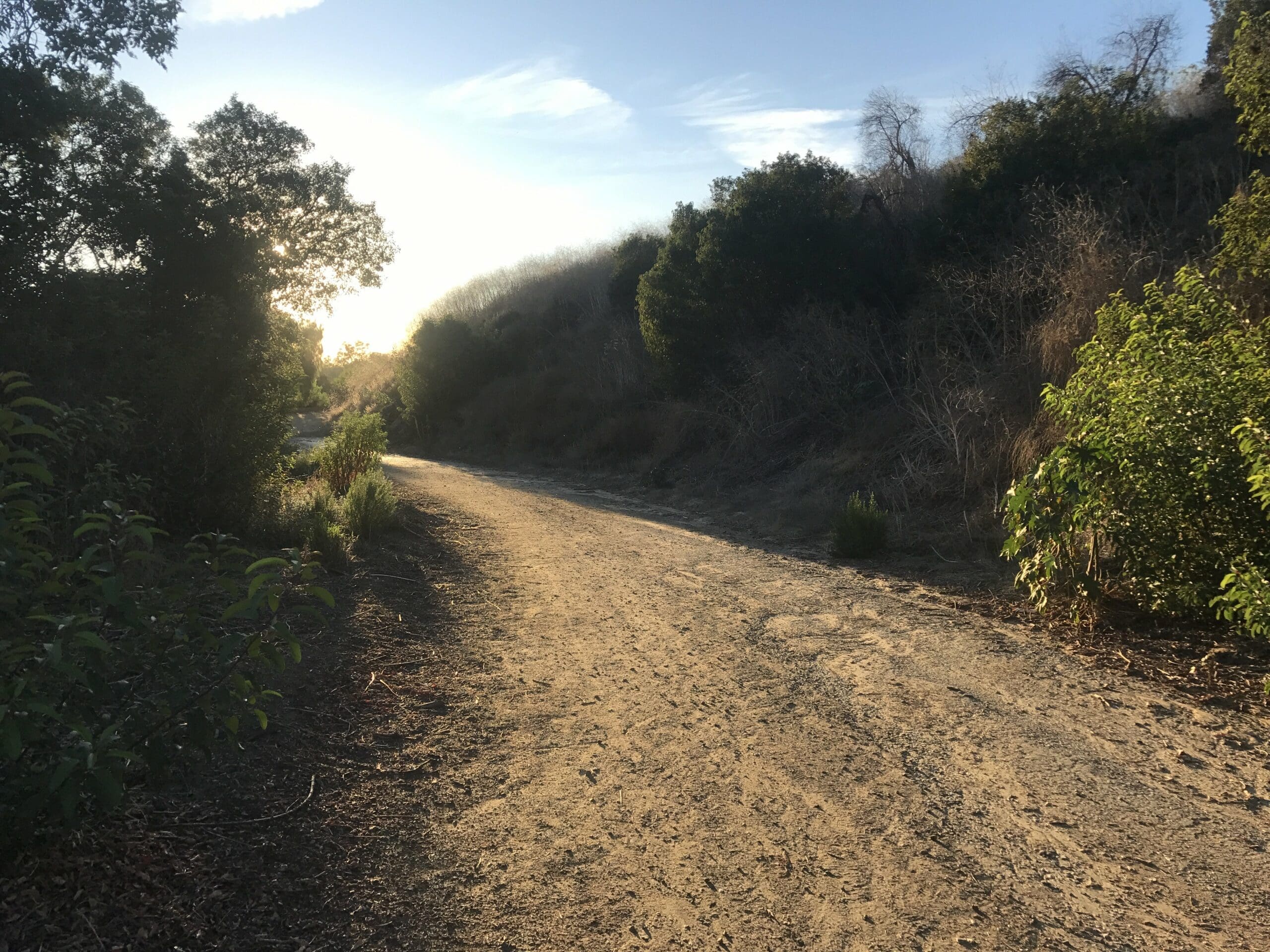
The trail does a mild combination of ascending and flattening for the remaining duration.
Not a soul in sight. I was one of the only people in the entire park.
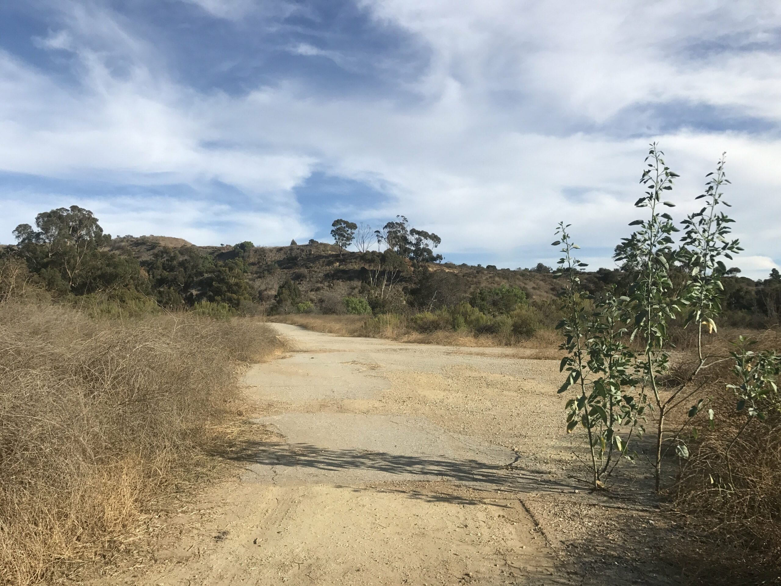
The final ascension to the top of the hill.
I finally reach the top of the hill, which was about a half a mile from the beginning of the Deer Loop Trail.
If you fork right, you’ll end up at a restricted area above the streets of Whittier.
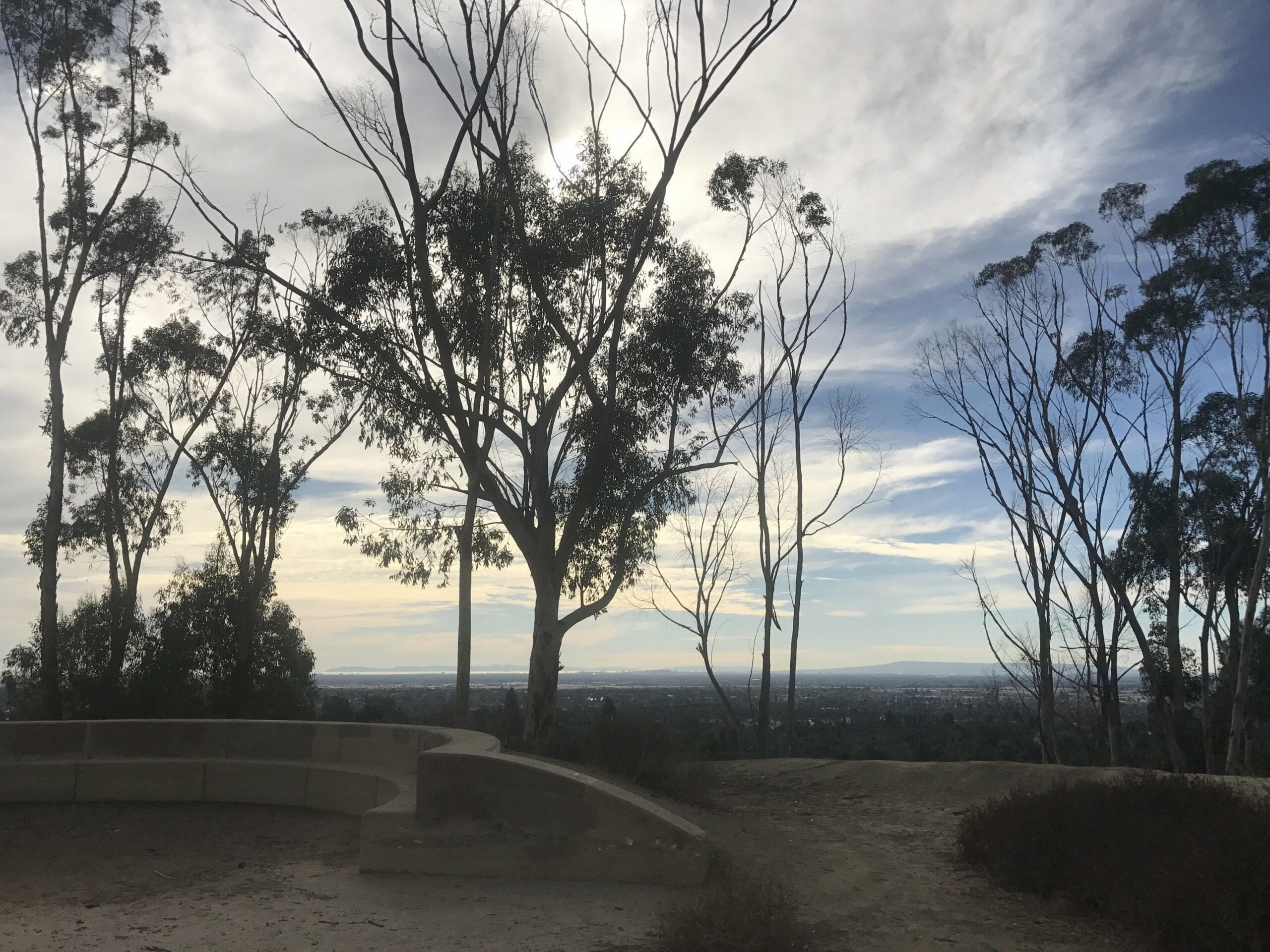
The view from behind the restricted area.
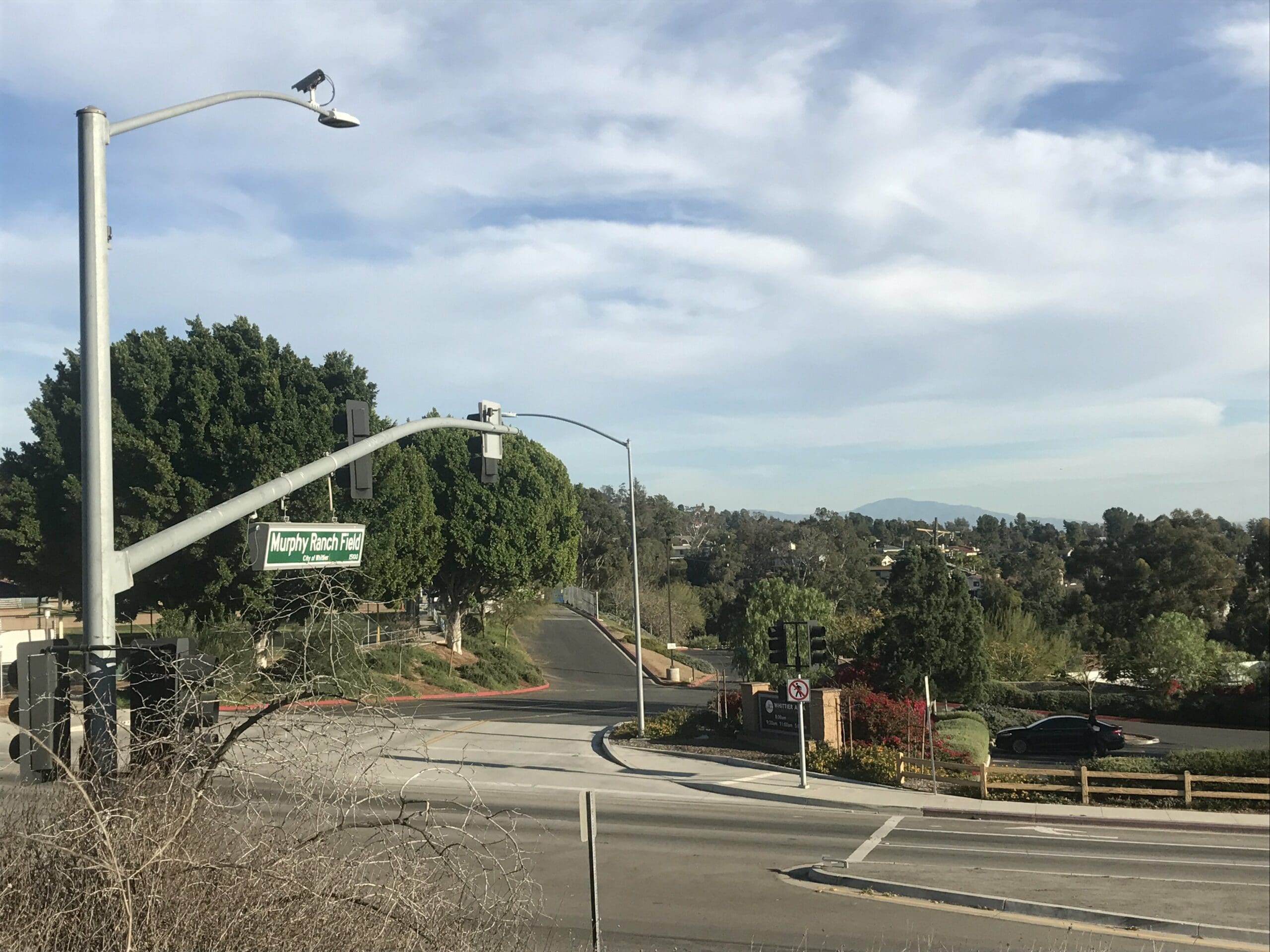
Taken from the side of the hill; Notice how close you are to the seemingly busy intersection.
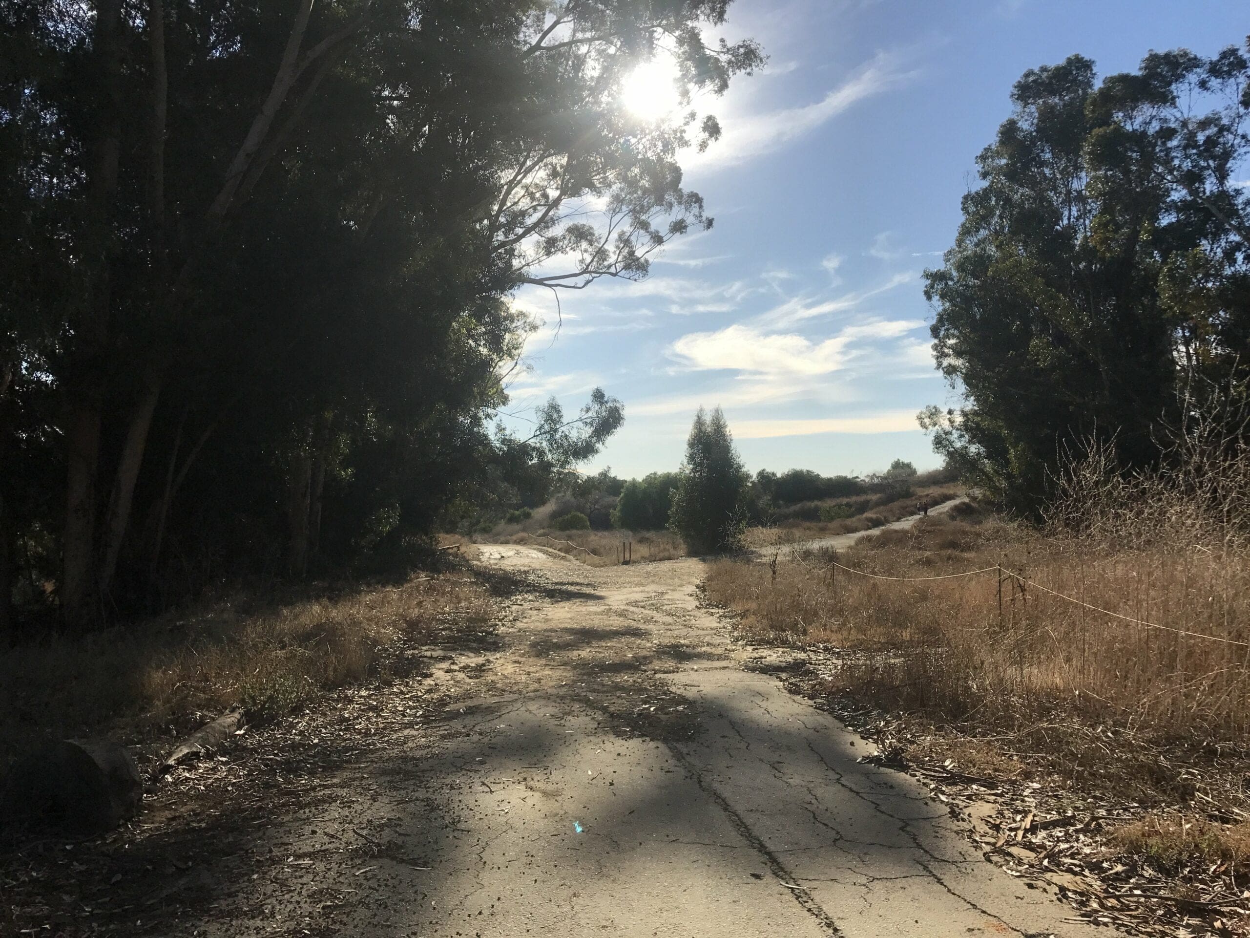
I loop back around to find my way back to the very beginning of the trail head. You can either call it a day or be a nutcase like me and continue exploring the rest of the park.
That’s right folks: Everything we discussed so far was only Phase 1 of the trail head.
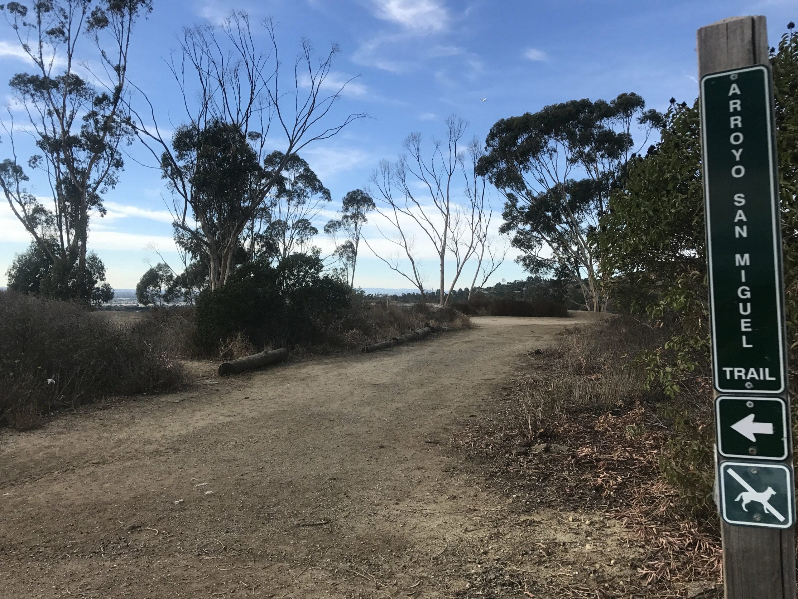
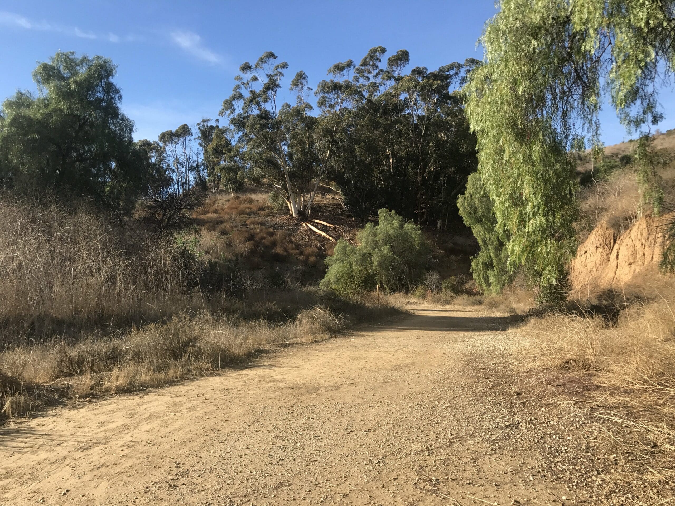
Arroyo San Miguel Trail
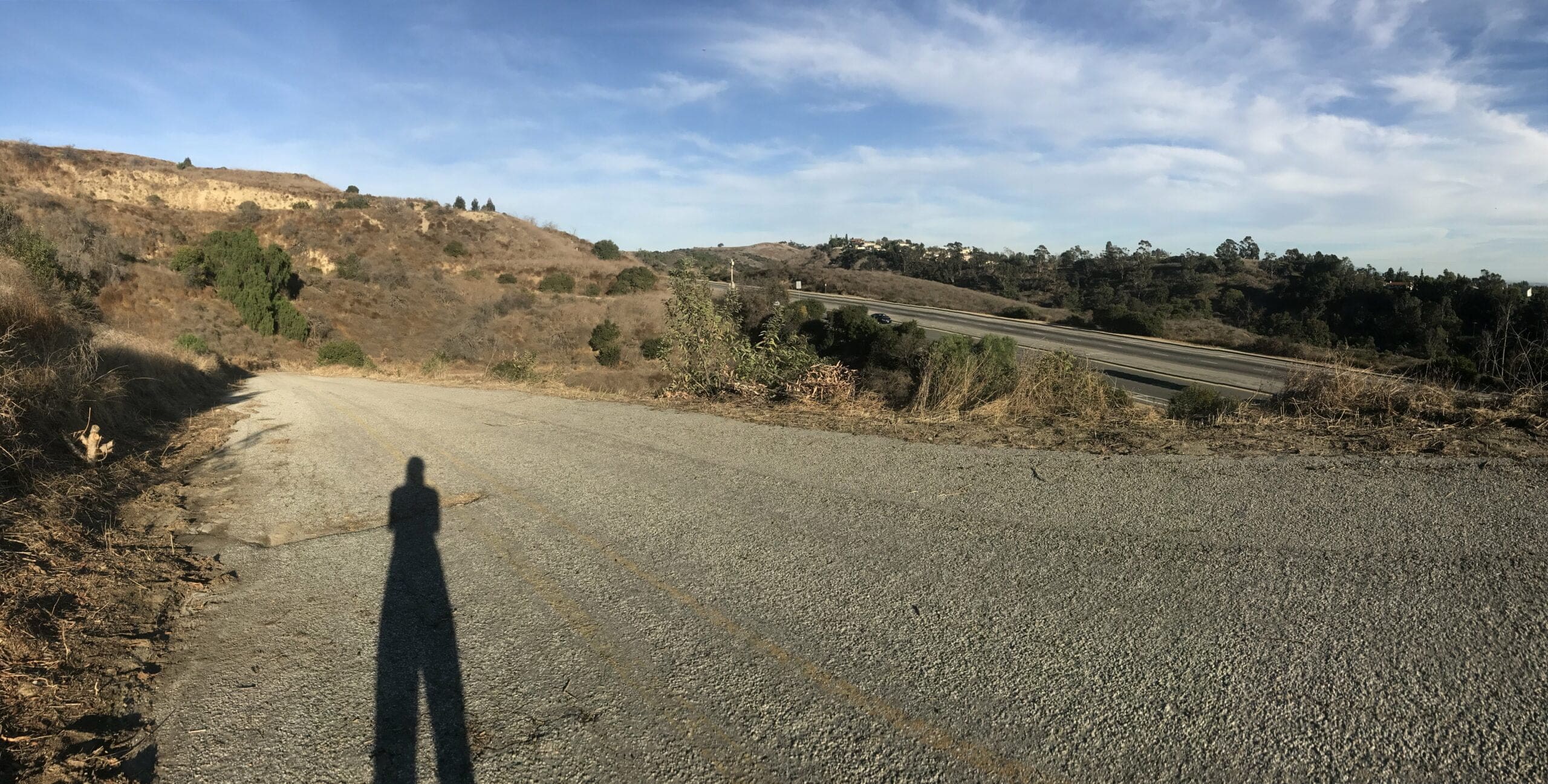
Enter Phase 2, which begins on an ascent past the “No Dogs Allowed” sign.
The trail leads past a fence which overlooks another busy two-way street.
A panoramic shot of the San Miguel trail and the road beyond.
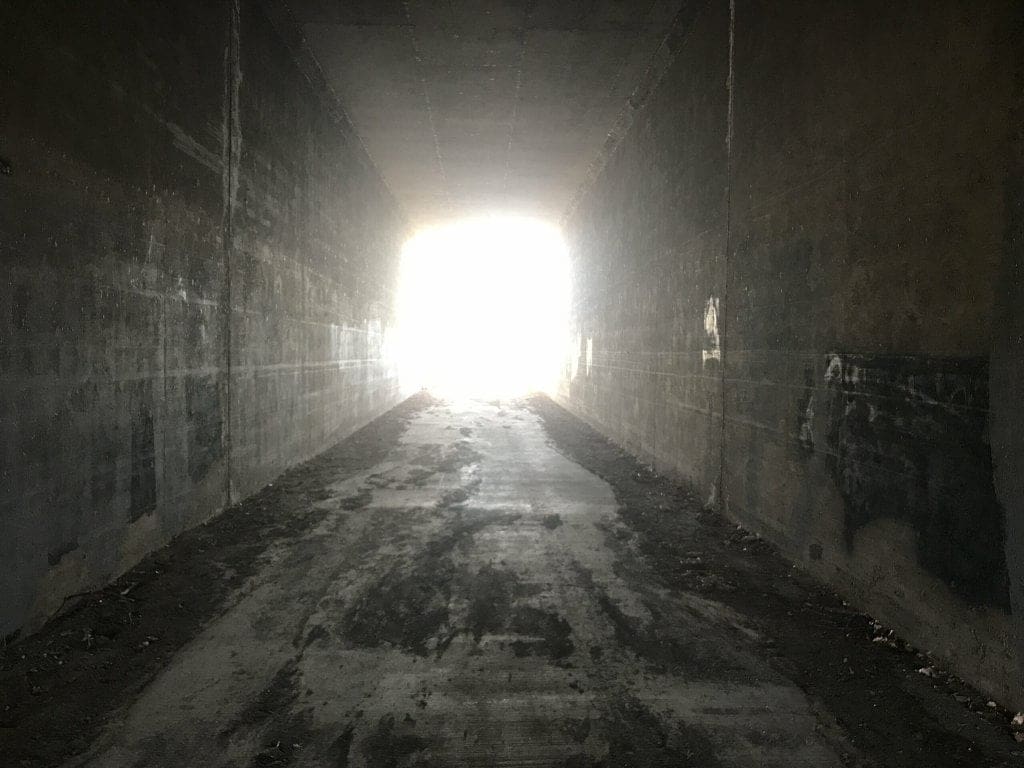
I stumble upon a peculiar-looking tunnel, directly beneath the two-way street.
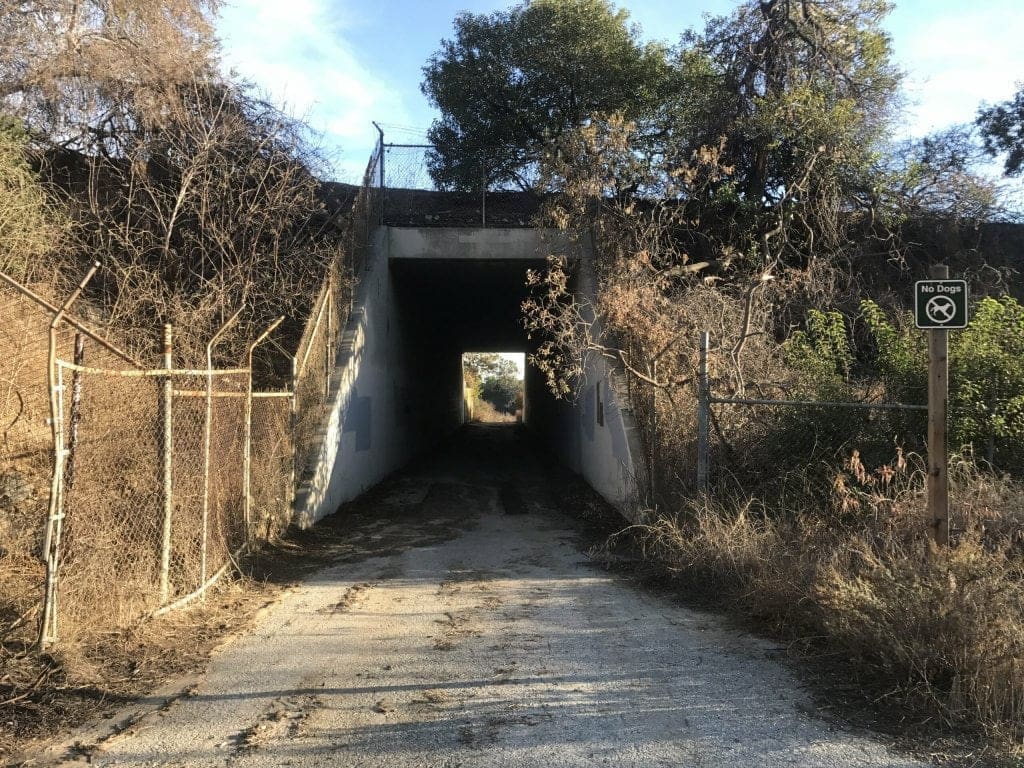
The short tunnel leads to a continuation of the trail, and let me be the first to say that it was long.
In fact, I stopped to ask a fellow hiker how much longer the trail goes on for.
“Another mile or so.”
Oh boy. I had to make it back by 5 pm, otherwise, I would risk getting a ticket (park enforcers are pretty strict in the Puente Hills Preserve area).
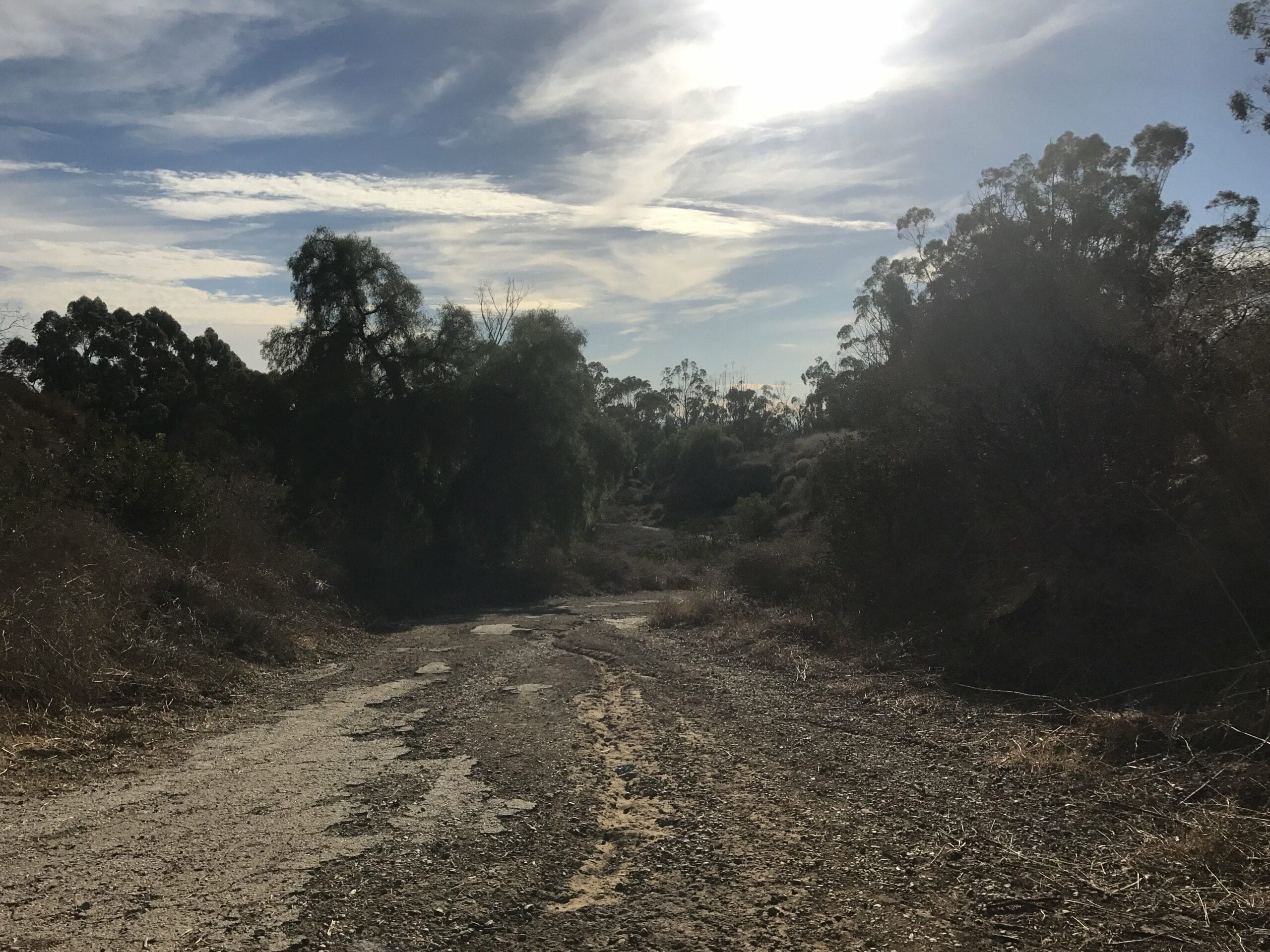
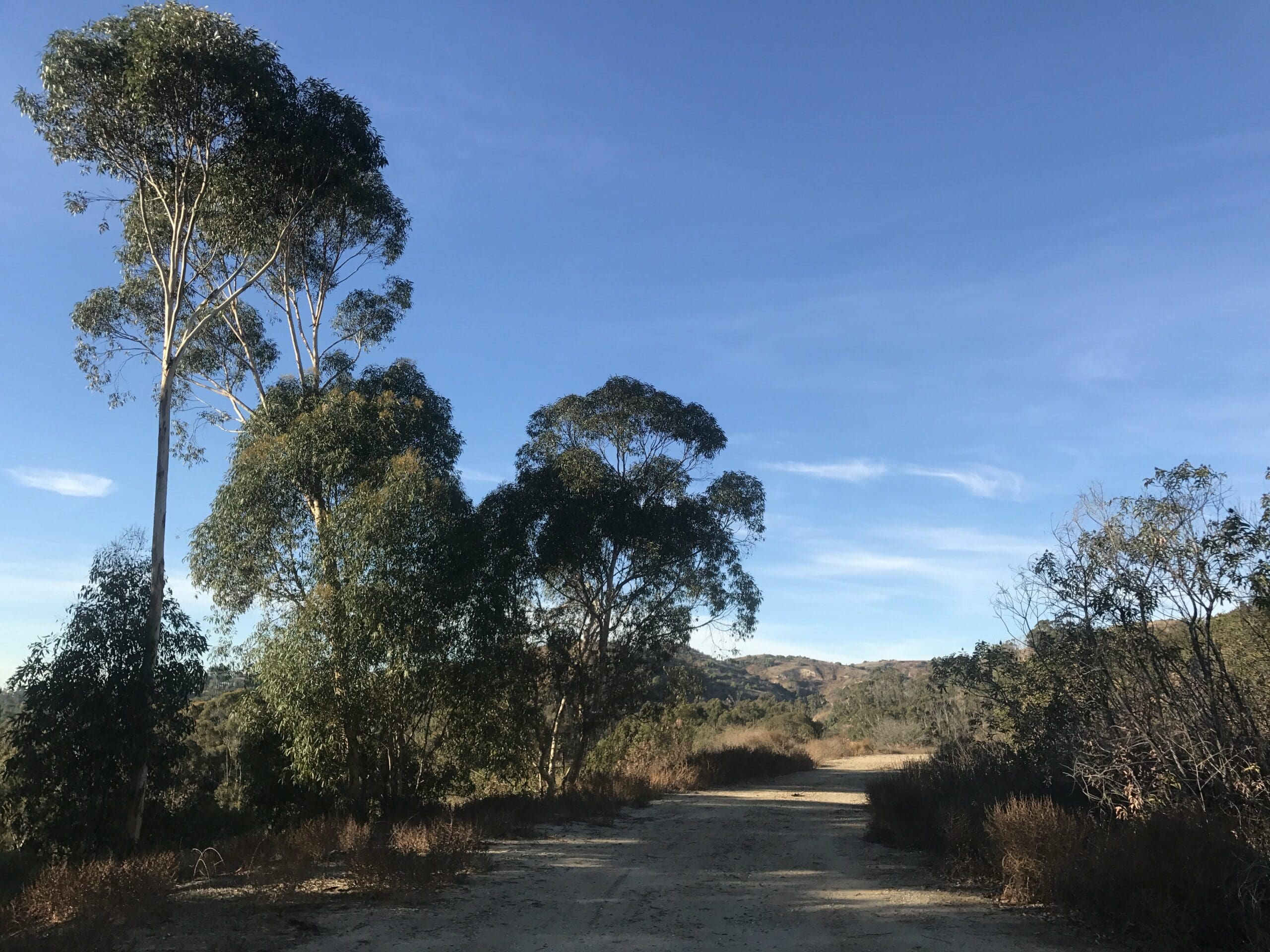
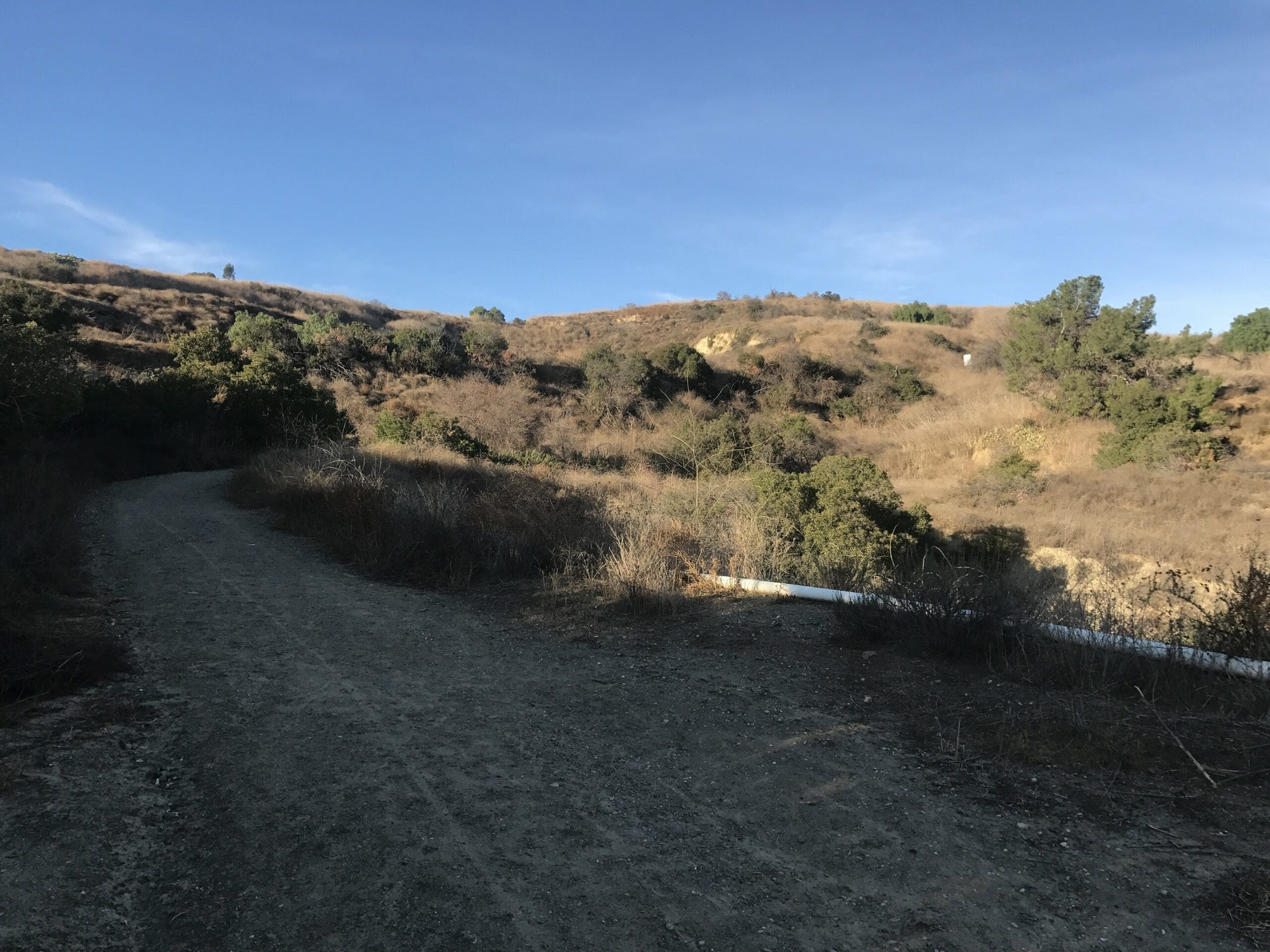
The trail is mostly flat with a mix of linear beelines and curved loops through the hills of Whittier.
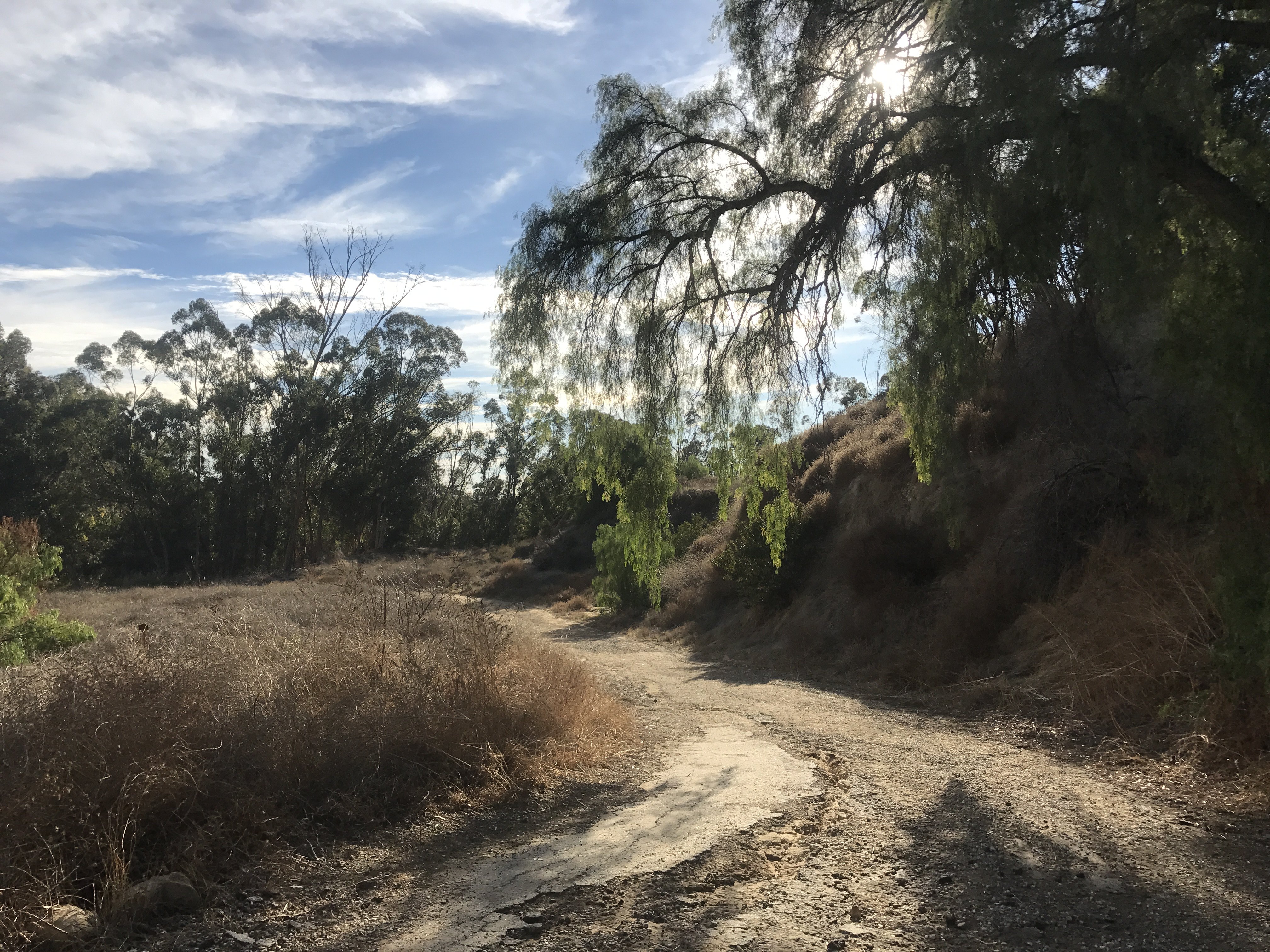
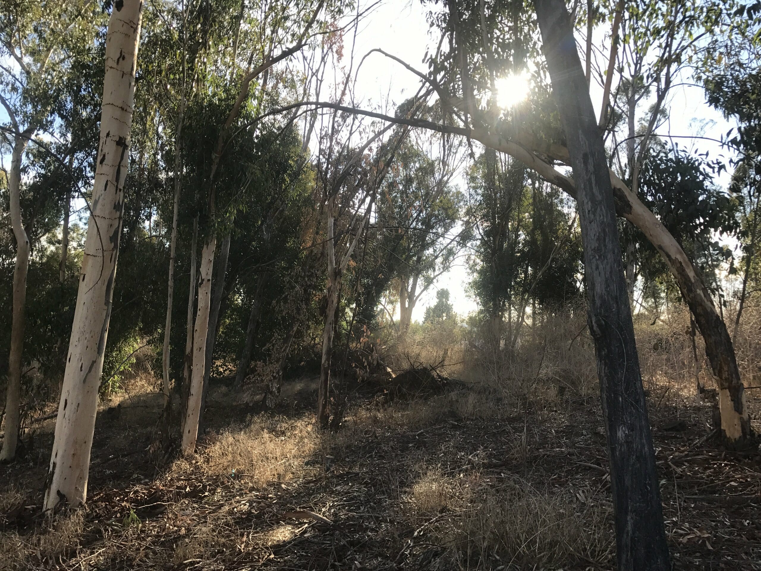
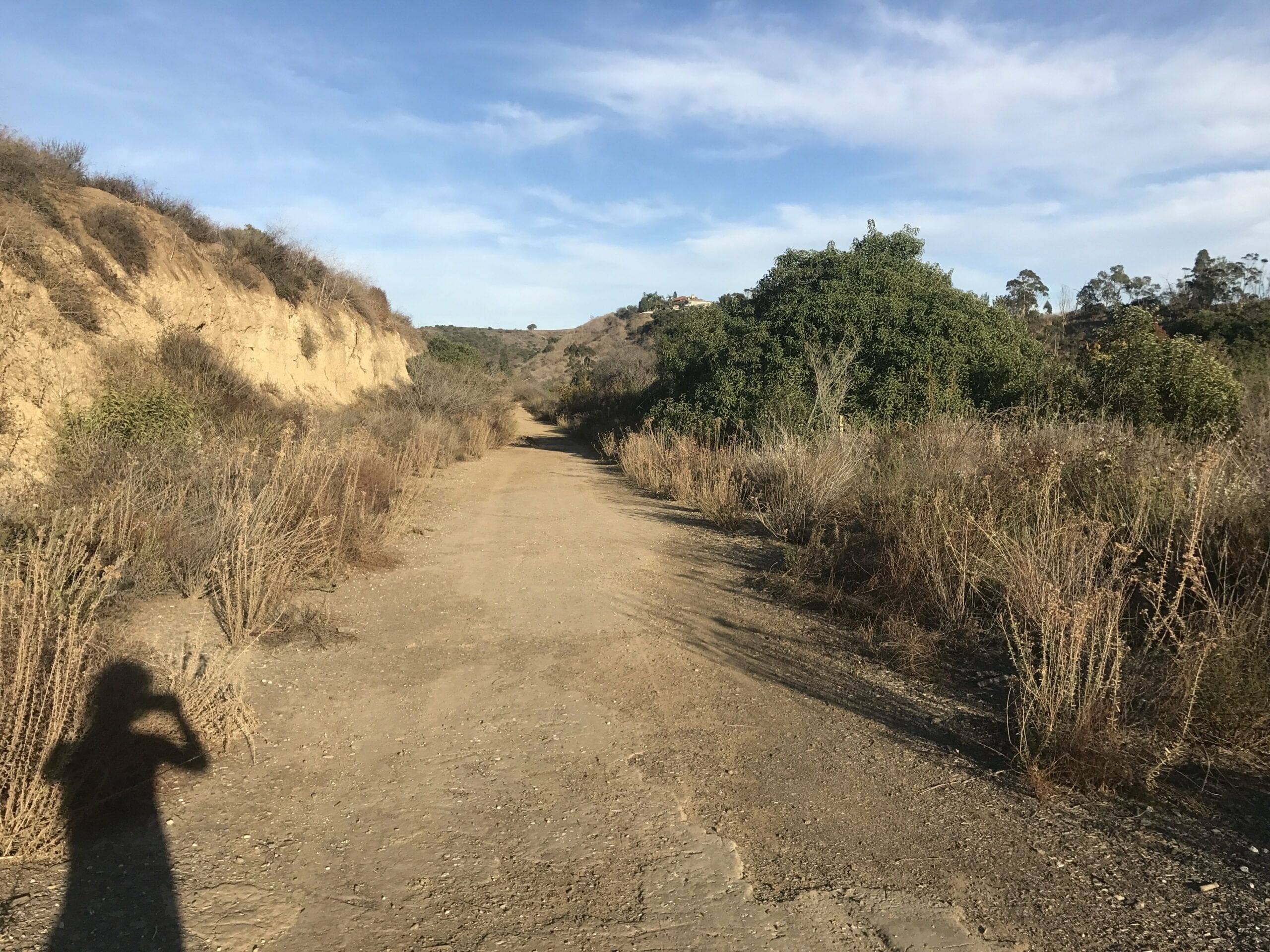
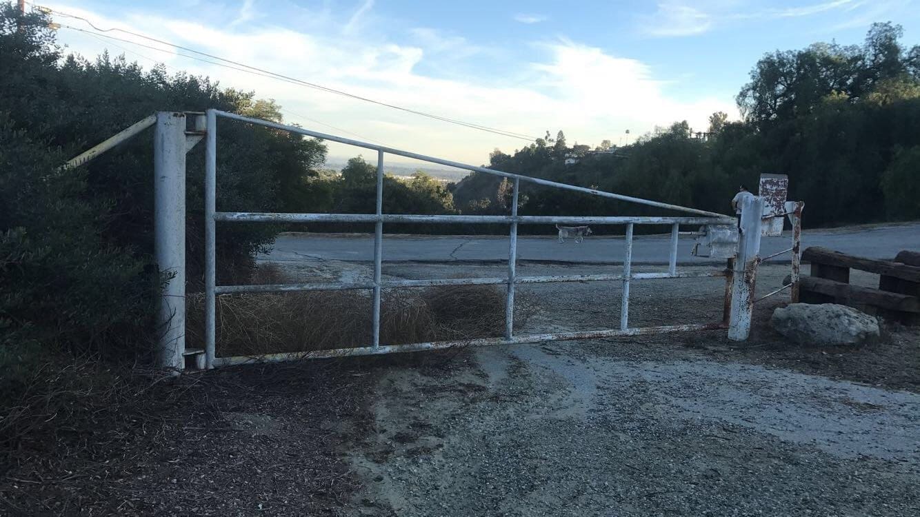
About a half mile in, past an opened gate.
More leaning trees in the distance with ritzy looking houses nestled atop the hills.
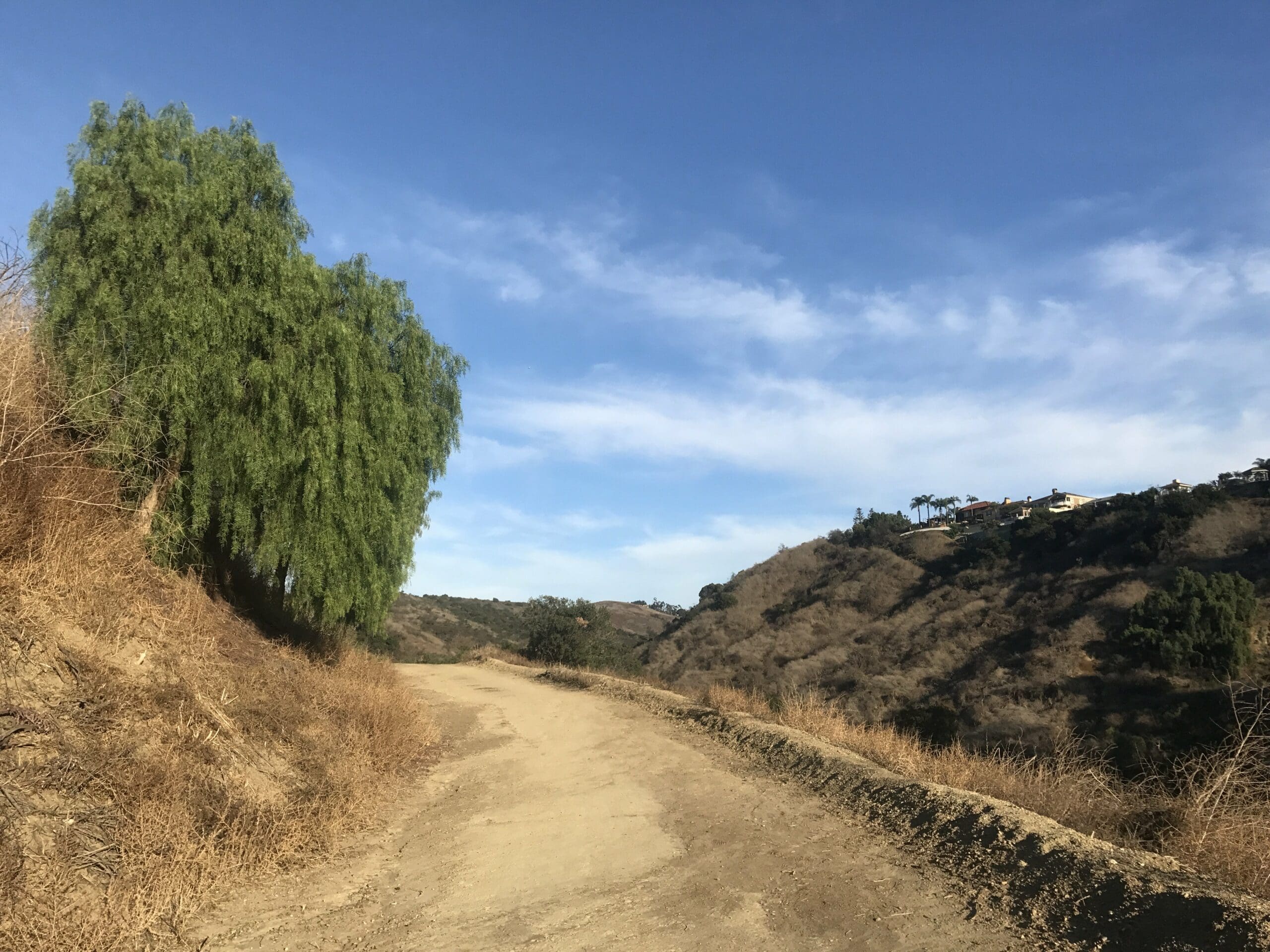
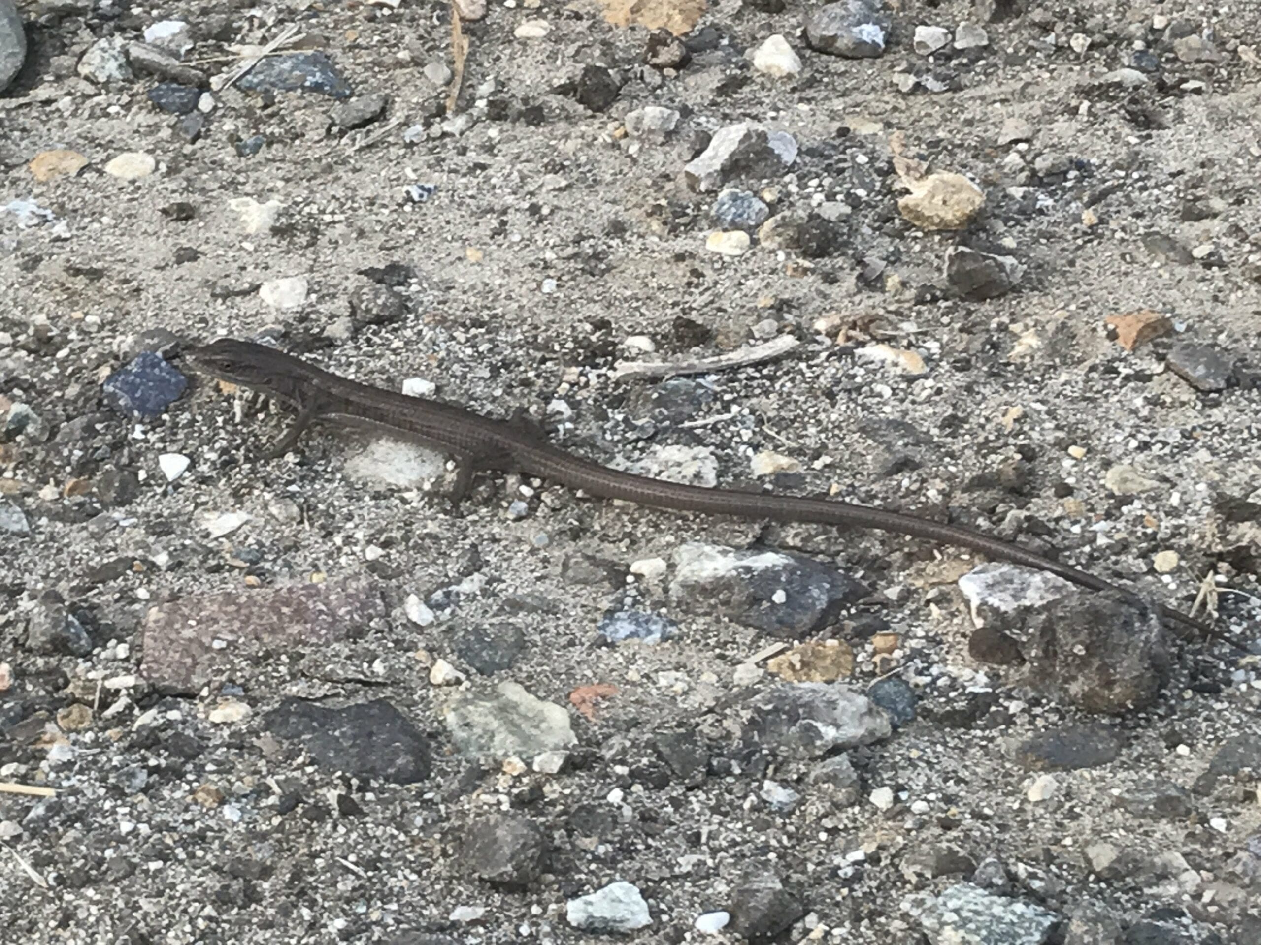
Within the shadows of the trees ahead lied what I thought was a snake. Turns out, it was a baby lizard.
A close-up of the beast.
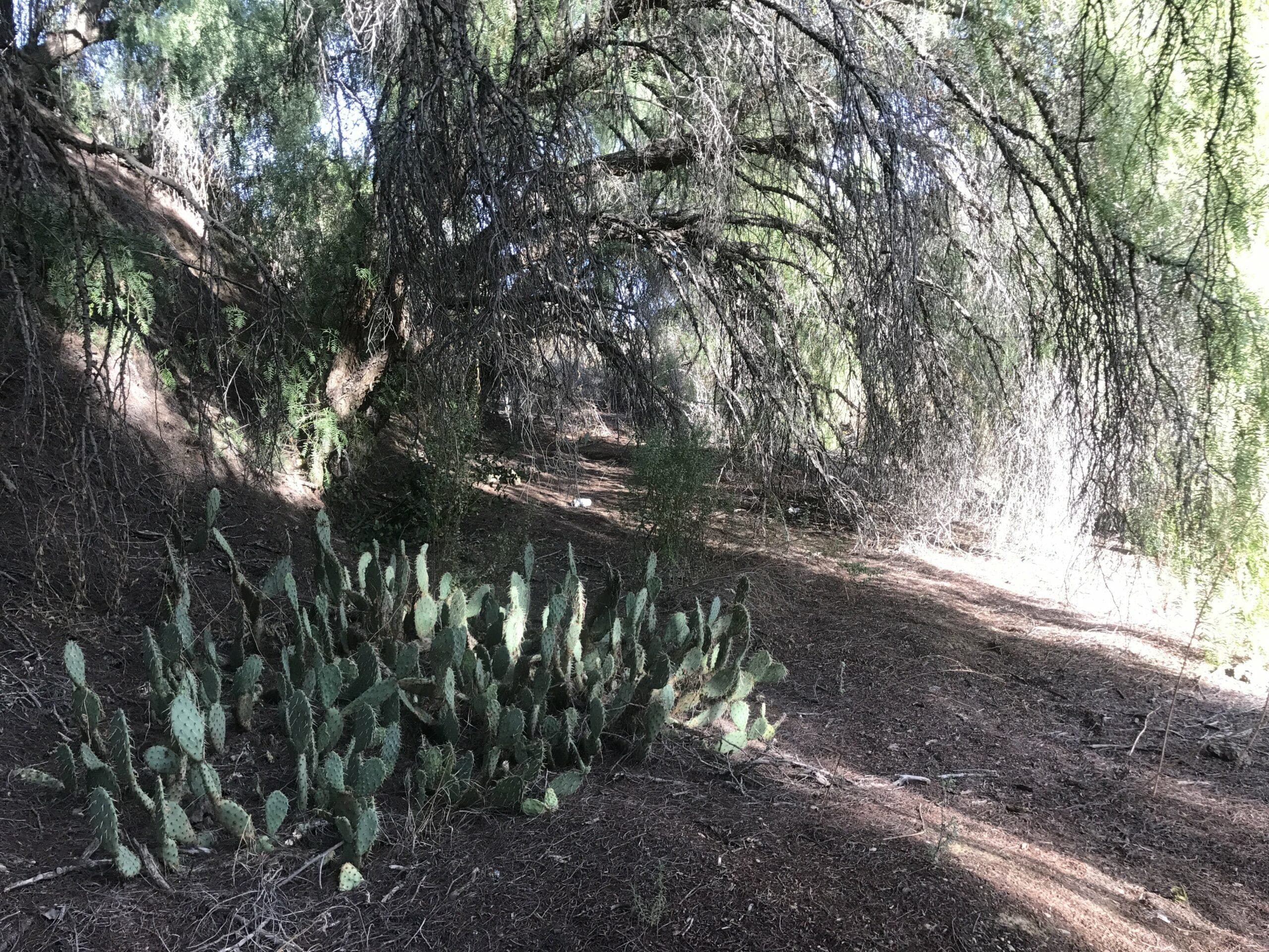
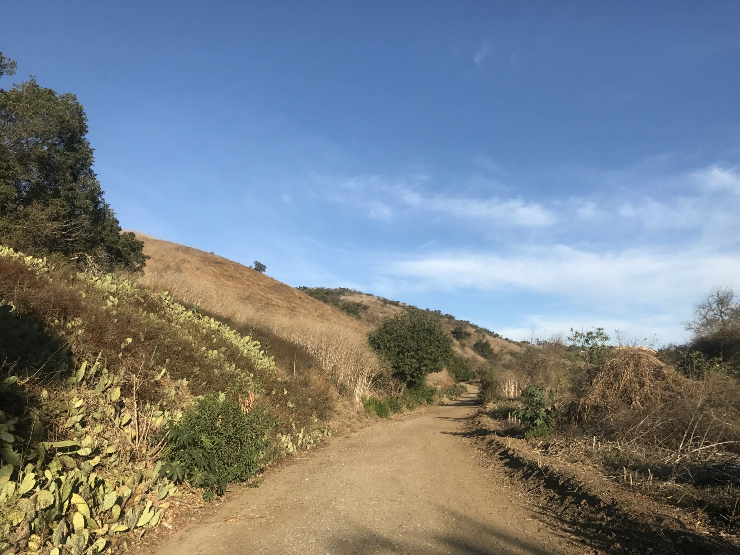
About three-quarters of a mile in, with cacti beds on the side of the road.
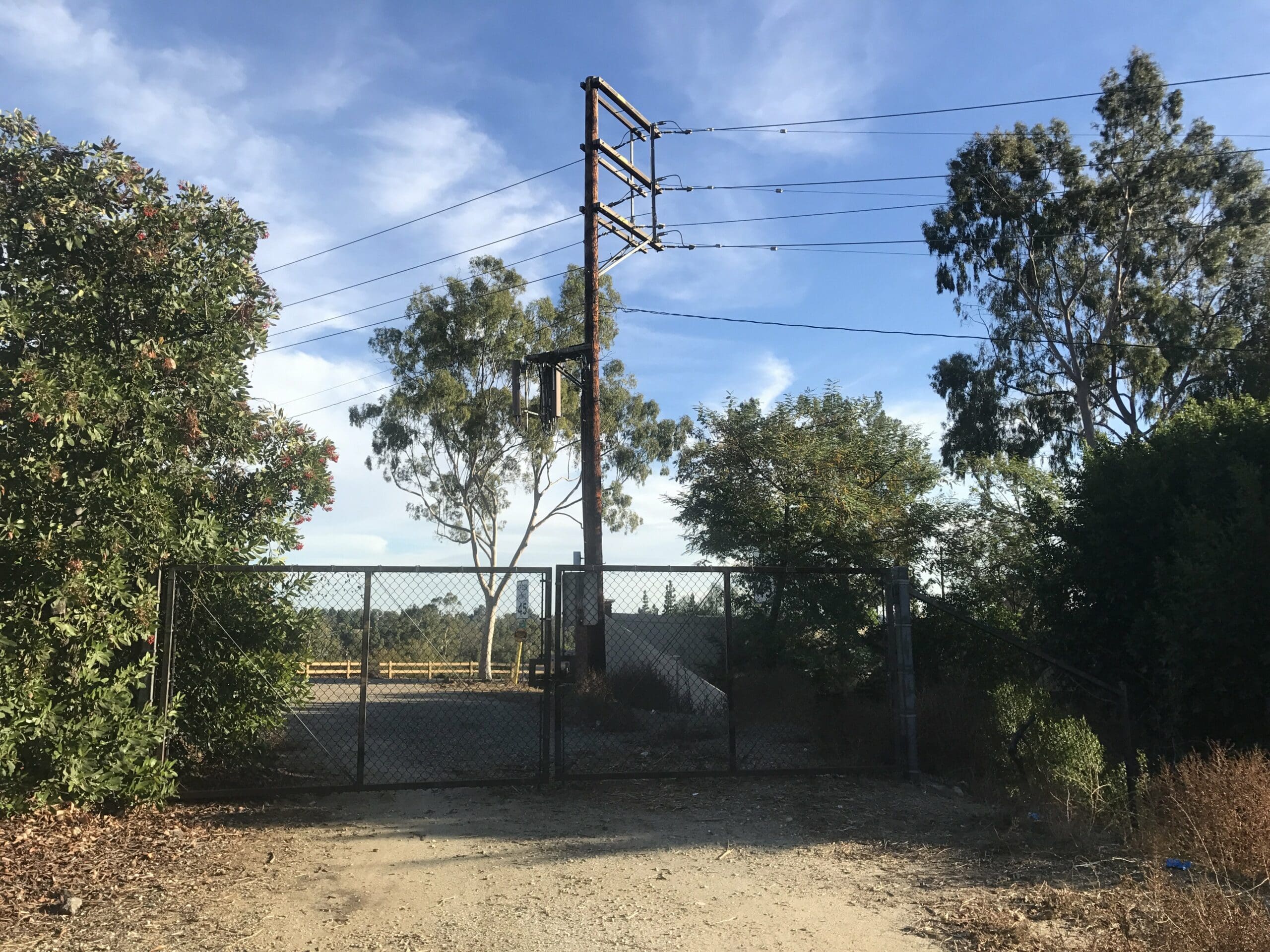
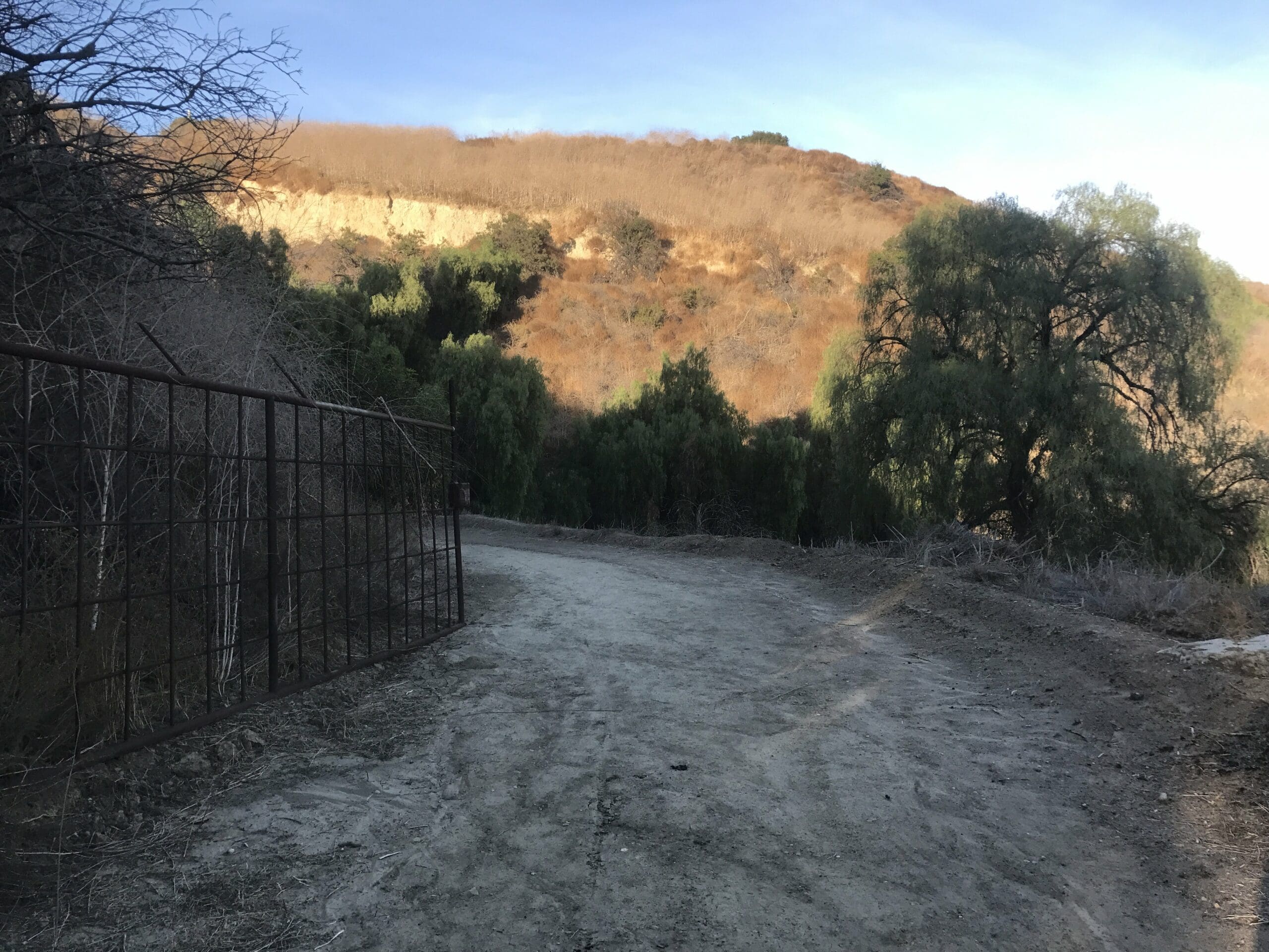
At long last, I reach a gated area that leads to who knows where. I had about a half hour left of exploring, so there was no more time to venture off into unknown territory.
View from near the end of the trail, overlooking the hills and forests of Whittier.
The last photo I took before my phone died. Luckily, it’s a straight shot back to the parking lot, no GPS required!
I ended up making it back with 10 minutes to spare and no parking enforcers in sight!
In a nutshell, the trailhead is quiet, peaceful, and perfect for beginner hikers. It’s a mostly flat trail with some easy ascents through the quaint hills of Whittier, CA.
Because sometimes, you don’t need to hike a mountain or a tourist spot to find your Zen in the great outdoors. And that’s the beauty of the Arroyo Pescadero trail.

Extremely helpful! I may be moving a few blocks away from there. The story and the pics gave me a great sense of that hike. Thanks and be safe!
Jason