The Spectacular Chitna Pass Traverse – Solo Hike
The rain just would not let up. It rained in the morning, in the afternoon, in the evening, and at night. Sometimes, the clouds would break, and the rain would become more of a subtle mist falling from above, but it was almost never dry. And there I was, trying to cook up dinner near the banks of Boulder Creek, just west of Chitna Pass in the Talkeetna Mountains. Outside of a swimming pool, I have never been so thoroughly soaked in my entire life. To make matters worse, I had decided that this trip would be a great time to try backpacking without a tent. It was a cool August day, and I was alone in Alaska on day two of a three-day trip.
The day before, my father and I had set out on the Hick’s Creek trail, just west of the tiny town of Glacier View, Alaska. The glacier to be viewed from there was the Matanuska Glacier, a monstrous ice being in the Chugach Mountains which feeds the mighty Matanuska River which drains into the Knik Arm north of Anchorage. From the road, the trail was an ATV trail, not a dedicated footpath. This had a couple of direct results. First, the trail was impossible to lose, as it was a five-foot-wide rut through the wilderness, a scar through the landscape into the Talkeetnas. But there was a consequence of this trail, it was a mess of mud. ATV trails double as mini-rivers, they channel water, especially in the spring snowmelt season. The result is a set of broad, muddy ruts through the ground which can swallow a hiker to their hips if they’re not careful.
Muddy Trails
It was on a muddy trail like that one that my dad and I walked north. Through forest and brush, up a ridge line to a minor, unnamed pass over a mountain spur. We stood there for a moment at the pass, at last with a good view of the mountains. The day was clear so far, though from our vantage point we could see cloud banks forming to our west. We stood well above the tree line, and low scrubland stretched out before us. And that was that. It was there that he turned back, as he had to return to Anchorage later that day.
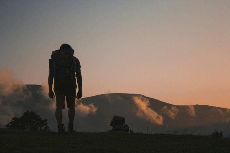
And I was alone.
My trail continued north along Hick’s Creek to Hick’s Lake, then over a very low pass and downhill towards Caribou Creek. Not long after reaching my new creek, I found a nice spot in the woods to pitch my tent. But there was one hiccup here. I had decided not to bring a tent. So it was time for an improvised camp set up.
The clouds had spent most of the day making their way towards me, and by the time I was finishing my dinner, the rain had begun. As had my experiment of no-tent camping. So I set my camp, sleeping bag in a waterproof bivy-sack with my raincoat thrown up over my face. Oddly enough, I stayed pretty dry all night, even as the rain came down.
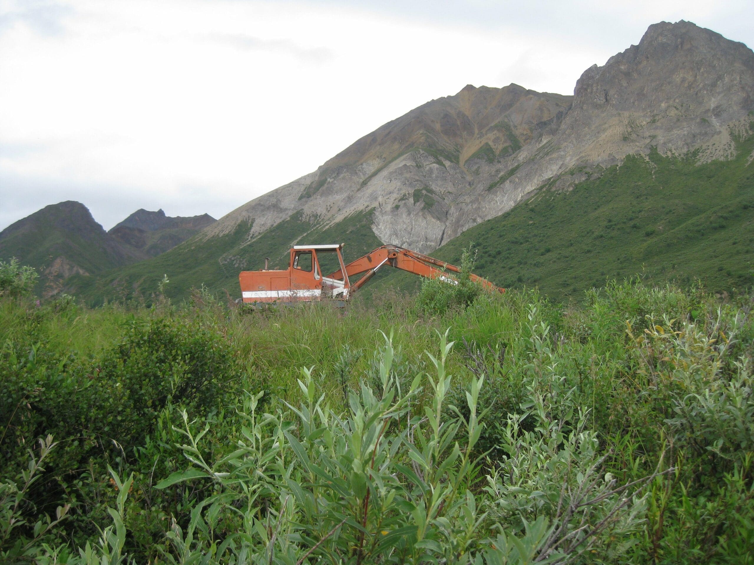
And then in the morning, I got up, ate, and left my camp behind, now headed west towards Chitna Pass, the high point of my trip. The ATV trail continued, and I passed through an old abandoned mining camp which had even had its an airstrip. Now just a low cleared area in the wilderness with mining equipment rusting away where its last users left it. From there the trail descended sharply to Caribou Creek. One thing I forgot to say about ATV trails, they ignore terrain. ATVs don’t care if it’s steep or flat or dry or wet they are All Terrain Vehicles after all. So straight down the slope I went, then straight up on the far side, now with soaked feet from crossing the creek.
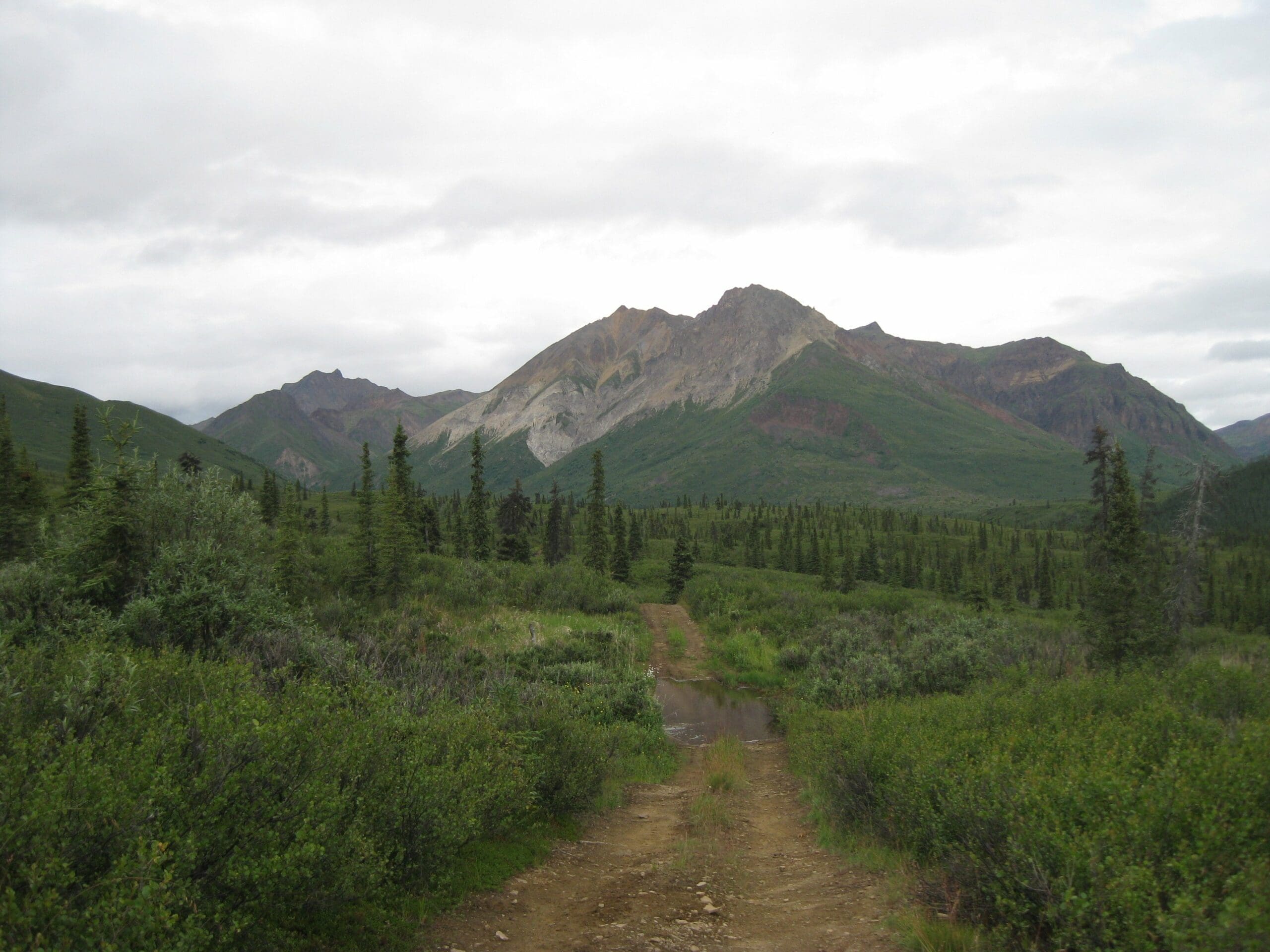
Arriving at Chitna Pass Itself
Once back on the bluff over the creek, I left the ATV trail behind and stepped onto what was effectively little more than a game trail that led to Chitna Pass itself. The main trail headed north, so I was done with it for this trip. The brush was often head high, and the trail was… unreliable. For a moment I would be on a solid trail, then a moment later in dense brush with seemingly no pattern. The rain continued here, and this section of the hike was a bit unpleasant really.
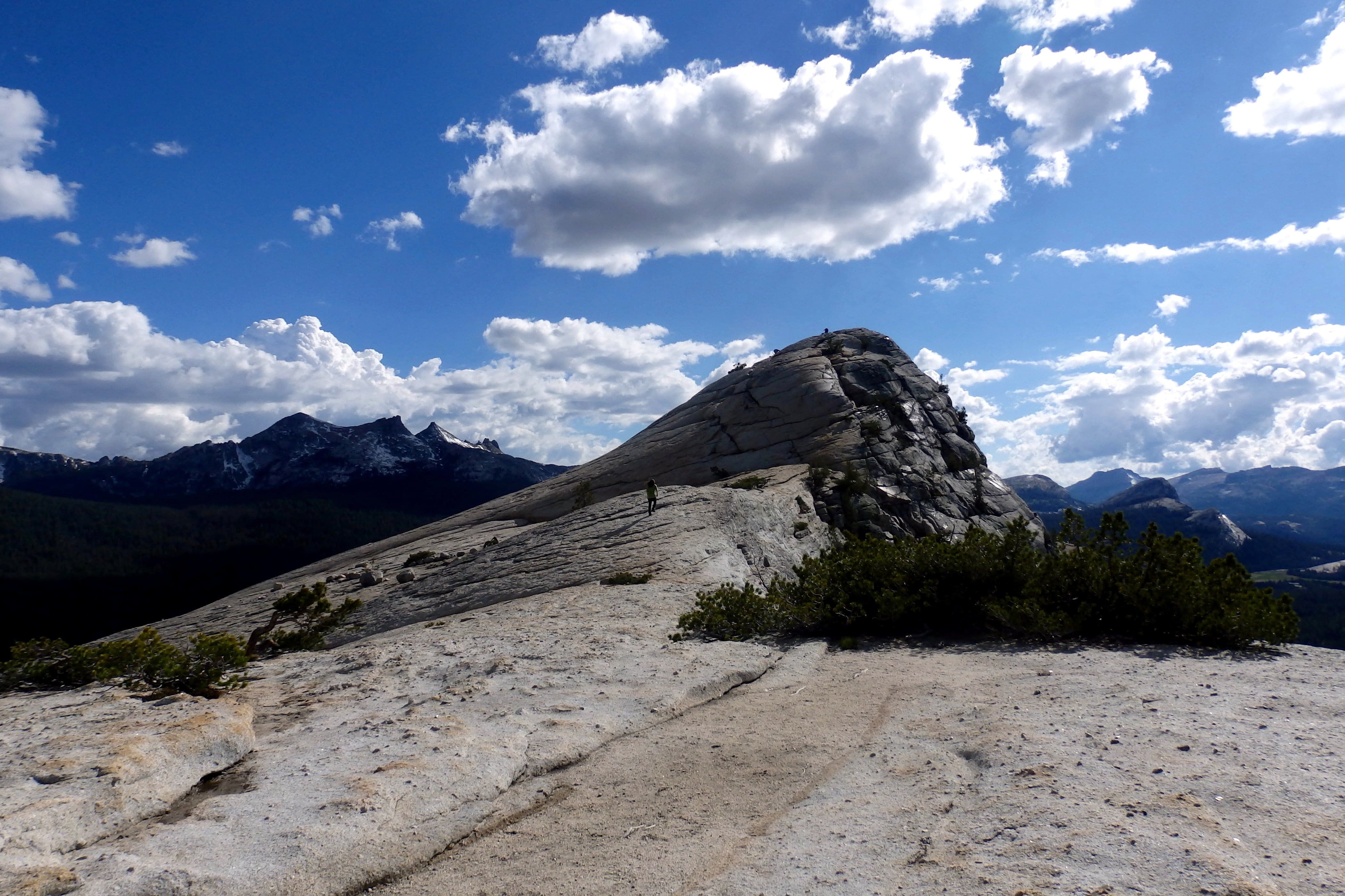
But then, almost all at once, the brush fell away, and I was on open tundra yet again, onward and upward to the pass at last. The climb was gentle, still on a faint trail over the ground. The pass itself was entirely unremarkable, low and ill-defined against the backdrop. What stood out was the journey after the pass.
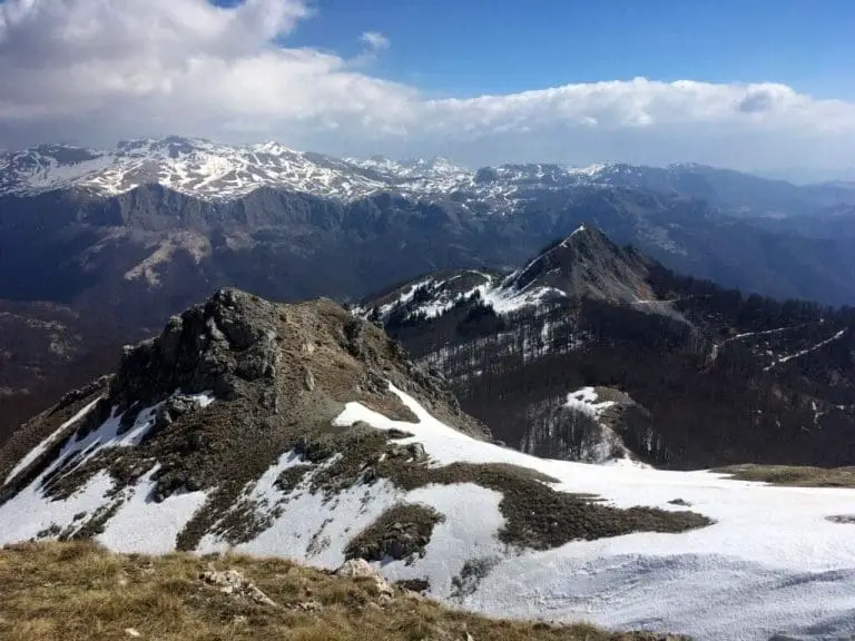
The map of the area is wrong. The trail on the map continues due west from the pass, then descends a steep embankment down to Boulder Creek. In reality, the trail turns south and follows a sharp ridgeline gradually to the water. This way down to the creek was stunning. When I reached that ridge, I stopped and stood there in total awe of the valley unfolding before me. The clouds were high enough that even though the rain I could see miles to my left and my right. I dropped my pack and took a break there, disappointed by the pass, stunned by the ridge. I was exhausted and hurting, but the beauty of that scene took all that from me and replaced it with that child-like feeling I keep searching for. The true wonder of exploration, of not knowing what would be over the other side of a ridge was exhilarating.
A Moment of Peace
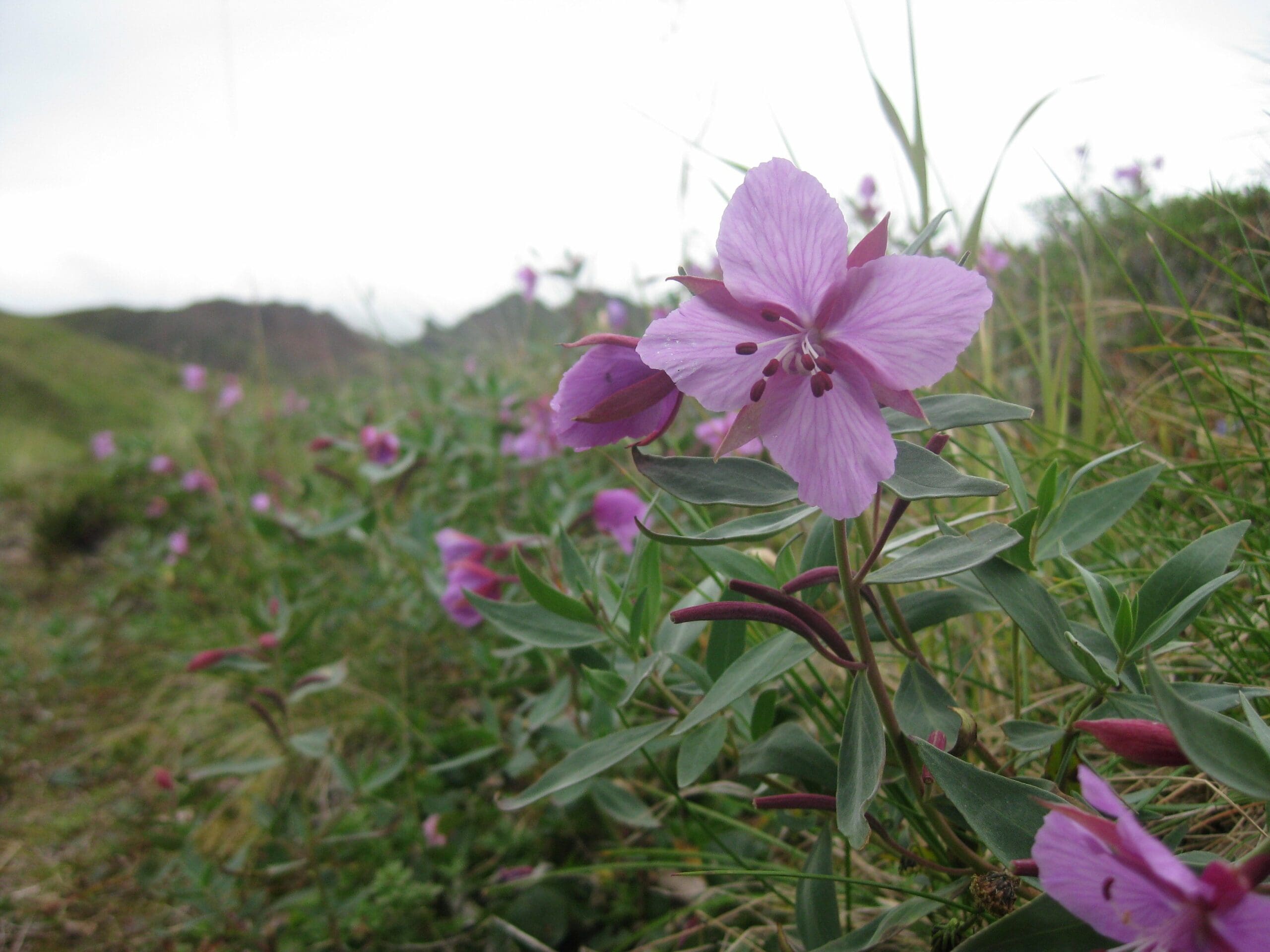
Moments like this keep me going back into the field. Though the rough trail conditions and awful weather had worn me down a little bit, this single view was enough to restore me to life. It was like recharging a battery with a single bolt of lightning. And then there were the flowers, little purple flowers all around me. I don’t know plants all that well other than the edible ones, but whatever they were, these flowers were a wonderful addition to a backdrop that had the same color palette as an apocalypse movie.
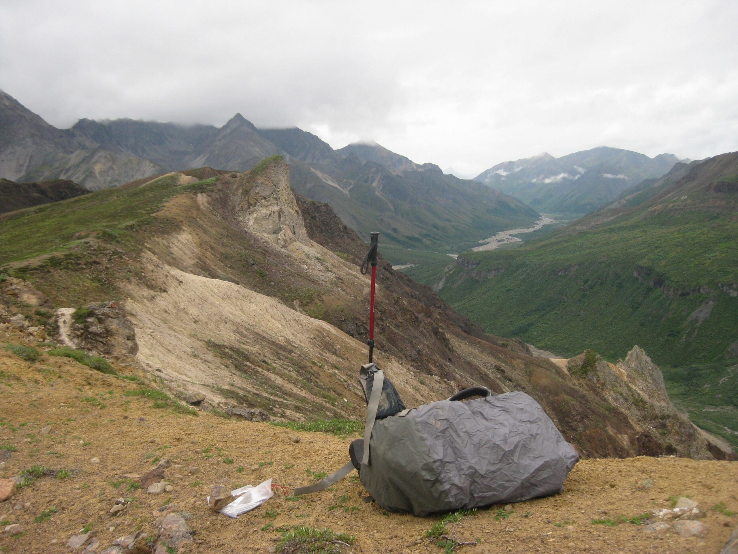
And then I made my way down the ridge and found a small open area in the tree line to set up my camp. Though I had remained dry the last night (mostly), I decided to take further measures, as the weather was only getting worse. So I found a good place with a strong tree and no overhanging branches to fall on me, and I built a small shelter. I used a long stick as a main ridge pole and added sticks over that as a framework, then many smaller branches to waterproof the whole thing. Though it took a full half hour, I was thankful for this shelter.
That night, the rain poured down, and I stayed dry, even without a tent. That said, I don’t think I’ll do that again, a light tent is very light, and the knowledge that I have a waterproof shelter is worth a couple of pounds.
When morning came, I rose again from my sleeping bag, remarkably dry and warm. Rain was still pouring across the valley, and the sunlight barely shone. The Boulder Creek valley stood before me in various shades of gray, and the only sound was the rain.
Along Boulder Creek
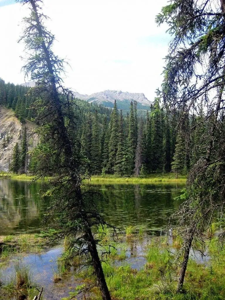
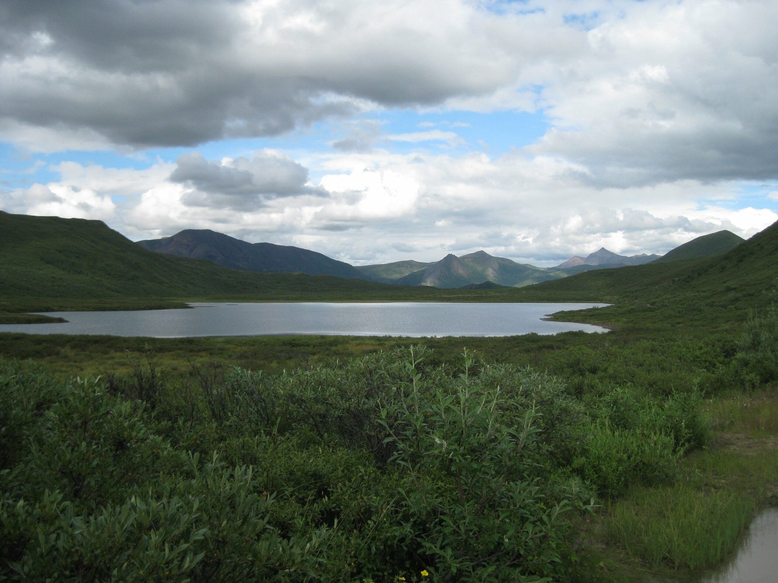
And so I made my way south beside the creek, really more of a river. Since I was again following an ATV trail, I naturally had to criss-cross the river time after time. My feet were wet all day, but thankfully the rain let up. By mid-afternoon, I was away from the river and back on the Chickaloon Trail on my way to the Glenn Highway. The land here was unlike any other land I had seen in Alaska. There were clear, well-defined lakes that reminded me of those in Wyoming. If you’ve never been to Alaska, the lakes don’t normally have shores. Instead, there are vast areas of marsh and swamp to sink into before hitting open water. The average Alaskan lake is a nightmare to hike around. But the lakes here were wonderful, and again I paused to rest with a great view of the lakes and spruce trees.
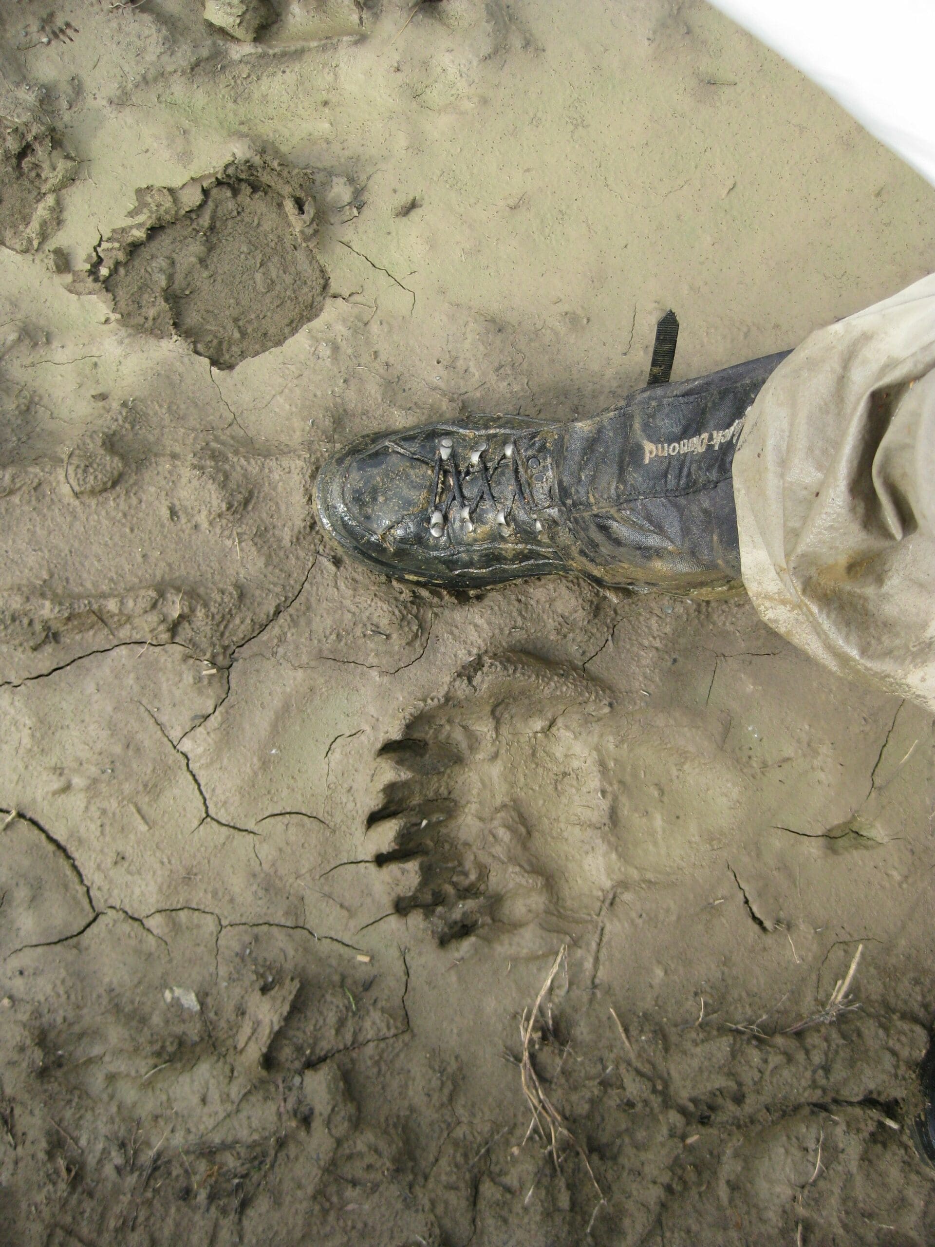
Eventually, the trail morphed into a fully fledged dirt road in an area with some backcountry hunting cabins. This dirt road, though marked as being fairly straight on the map, was anything but, as the state had recently sold off lots of land in the area. As a result, the trail, eventually more like a dirt road, twisted its way through the country, adding miles to my trip.
And then, suddenly, I was standing at the main road, the Glenn Highway. The rain had let up now, and so I sat there in the sun, appreciating the good weather that I had missed over the past three days. This had been a trip of ups and downs for me, and not just the geographical ones.
The Good and the Bad
Bad weather can truly sap away at morale until you have very little left to go on. This was far from being my first solo, but three solid days alone while traversing terrain like that can be… interesting. I’m honestly not sure how to even phrase it. It’s simply different, especially as I typically hike with others. The Chitna Pass Traverse is a fairly difficult one, though not too challenging. My choice to leave the tent at home certainly cost me in that weather, though my pack was remarkably light. However, I can deal with bad or minimal equipment.
The hard part was that I had to take all of it alone. I took the rain alone. I took my food alone. I slept alone.
I walked alone beside the rivers, through the brush, up the ridges. There were moments when the only way to describe my feelings would be as scenes from Cormac McCarthy’s The Road.
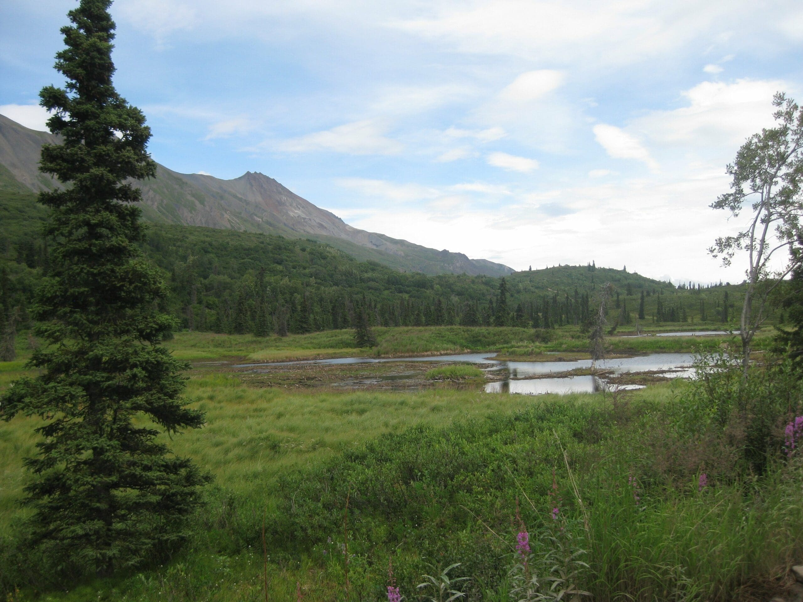
But I would do it all again, because of the beauty I saw when I crossed that ridgeline west of Chitna Pass, because of the beauty of Boulder Creek, and the wonderful views of the mountains. People have told me that the Talkeetnas are like the Brooks Range, up in the Alaskan Arctic. Though I haven’t been there yet, the Talkeetnas are certainly stunning in their own right. And that’s why I backpack. This trip was rough on me, but the few moments of awestruck beauty were enough to take it all worth it.
Like I said above, those views recharged me like recharging a battery with a single bolt of lightning.

